-

Baseline population
Population density shown on the map is based on 2020 estimates by Worldpop. Counts in table are based on estimates for 2023 by the Philippines Statistics Authority (PSA) -

Administrative Boundaries: Regions (admin level 1)
Country overview showing administrative boundaries for regions (admin level 1) and main settlements -

Population Density
Table shows estimated baseline population in 2022 for each Region. Population distribution shown on map is based on Worldpop estimate for 2020. -

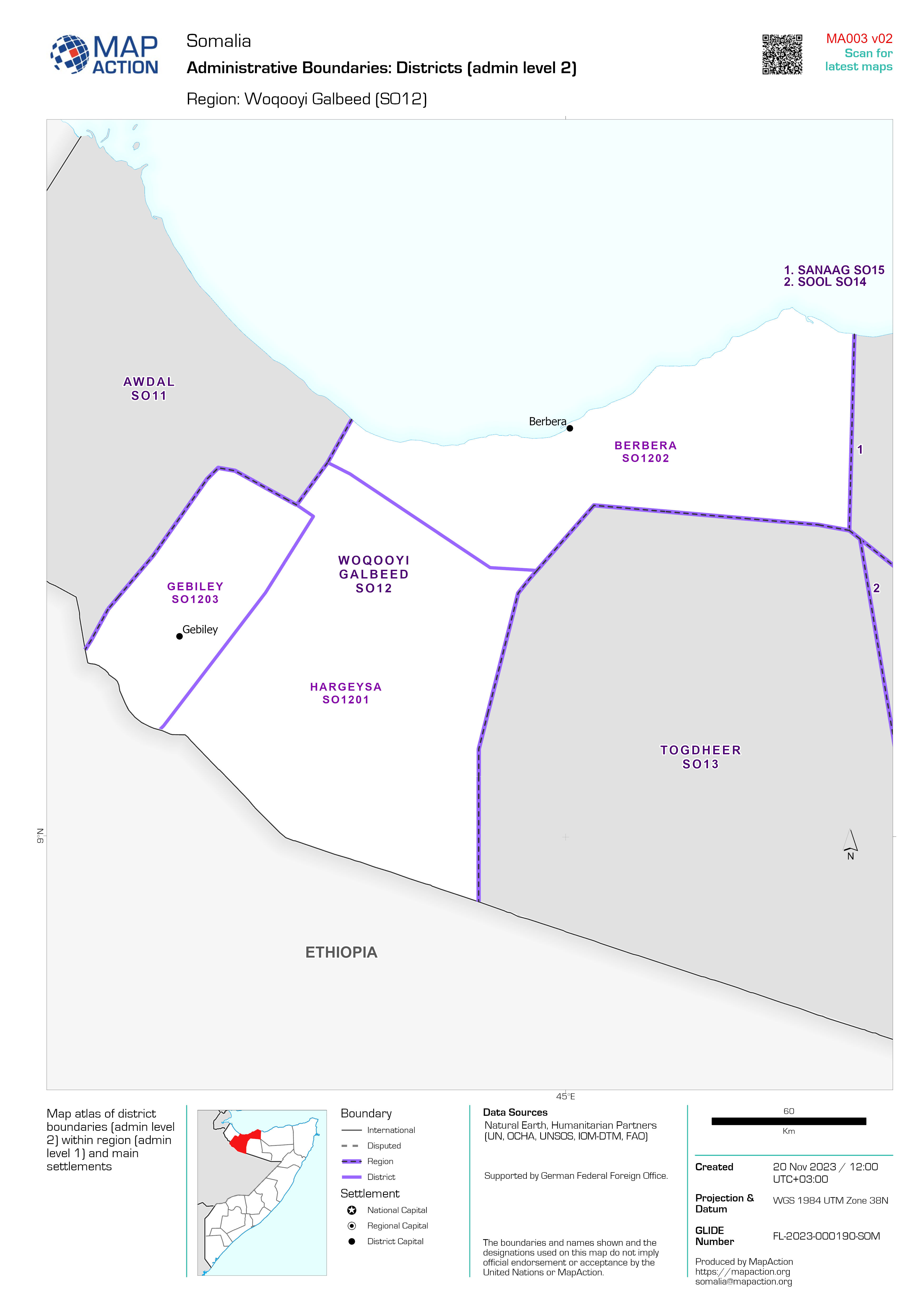
Administrative Boundaries: Districts (admin level 2)
Map atlas of district boundaries (admin level 2) within region (admin level 1) and main settlements -

Country overview
Country overview showing administrative boundaries, main settlements, transport infrastructure and natural features -
Who What Where activity at District level on 11th November 2023
Who What Where at District level -

Who What Where activity at Regional level on 11th November 2023
Who What Where at Regional level -

Affected Population from Flooding by District
Percentage affected population. Based on Worldpop baseline estimates for 2020 and Unosat flood extents from 23rd OCtober 2023.. -
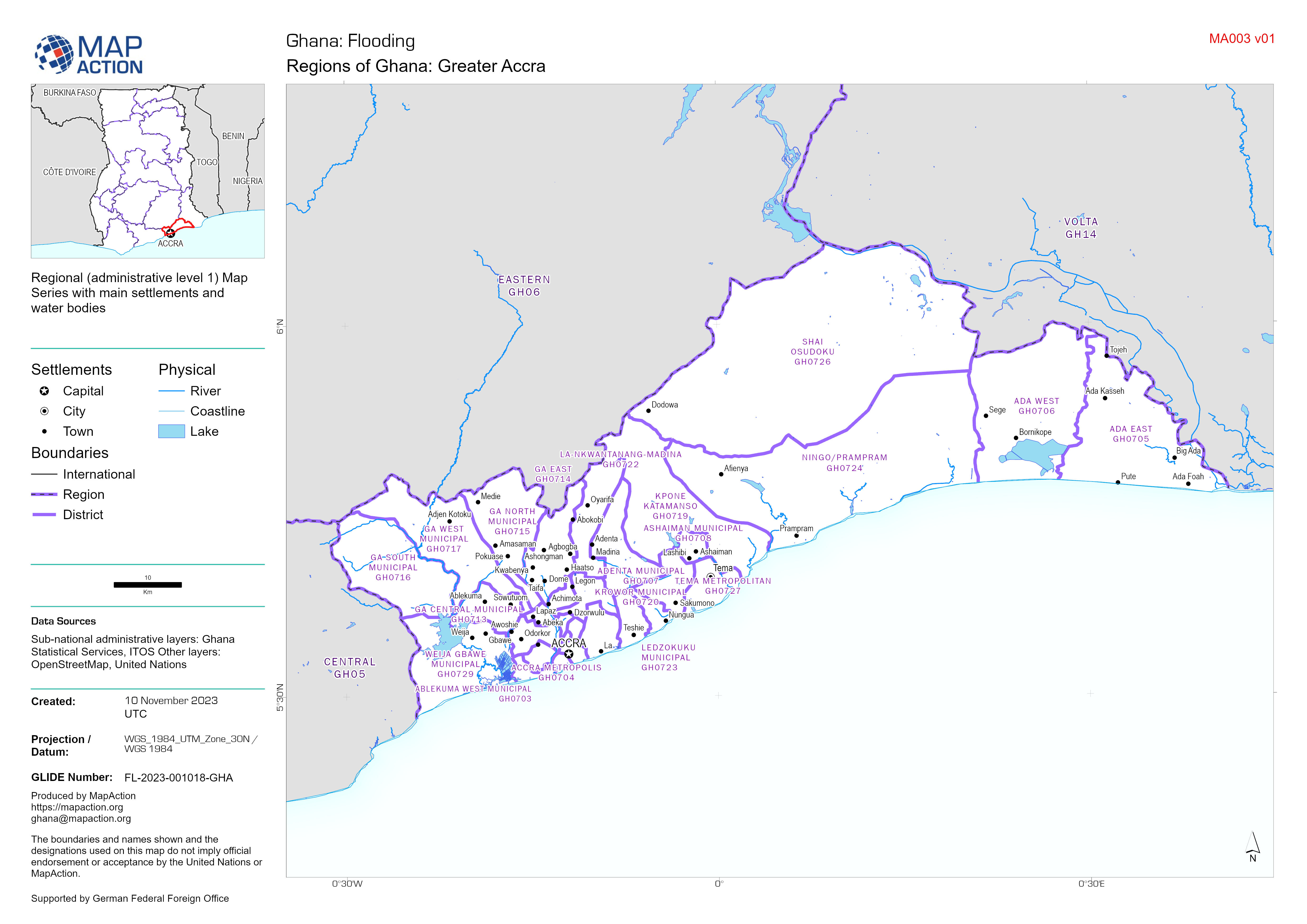
Regions of Ghana Map Series - Central, Eastern, Greater Accra, Volta
Regional (administrative level 1) Map Series with main settlements and water bodies -

-

Baseline population for affected area
Baseline population for the area of Ghana affected by flooding. Image of population density based on Worldpop estimates for 2020. Population totals labelled were published by... -
Satellite detected flood waters as of 23rd October 2023
Satellite detected water as of 23rd October 2023 for affected area -

Country Overview
Country overview showing administrative boundaries, main settlements, transport infrastructure and natural features -

ASAL Humanitarian Network Drought Response - Activity by Ward (as of 23 Augus...
The map shows the 3w (who, what, where) response activity by wards for the planned and ongoing multi-purpose cash program implemented by the ASAL Humanitarian Network (AHN), in... -

ASAL Humanitarian Network Drought Response - Activity by Sub County (as of 23...
The map shows the 3w (who, what, where) response activity by sub-county for the planned and ongoing multi-purpose cash program implemented by the ASAL Humanitarian Network... -
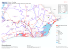
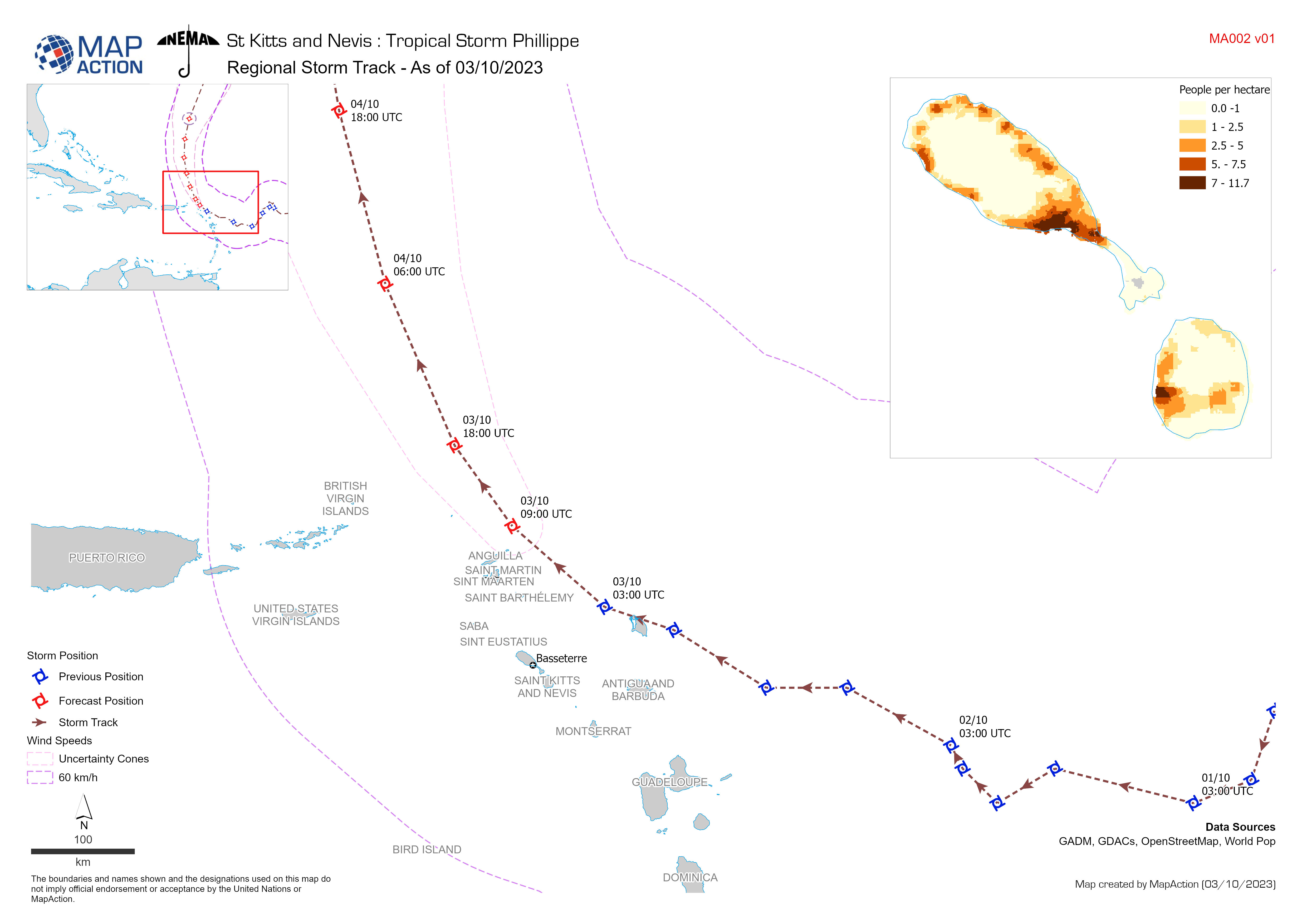
Regional Storm Track - As of 03/10/2023
Storm Path for Tropical Storm Philippe (actual as of 3 October 2023, forecast as of 4 October 2023). All forecasted storm positions, path, and wind speeds are the best available... -

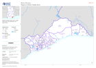
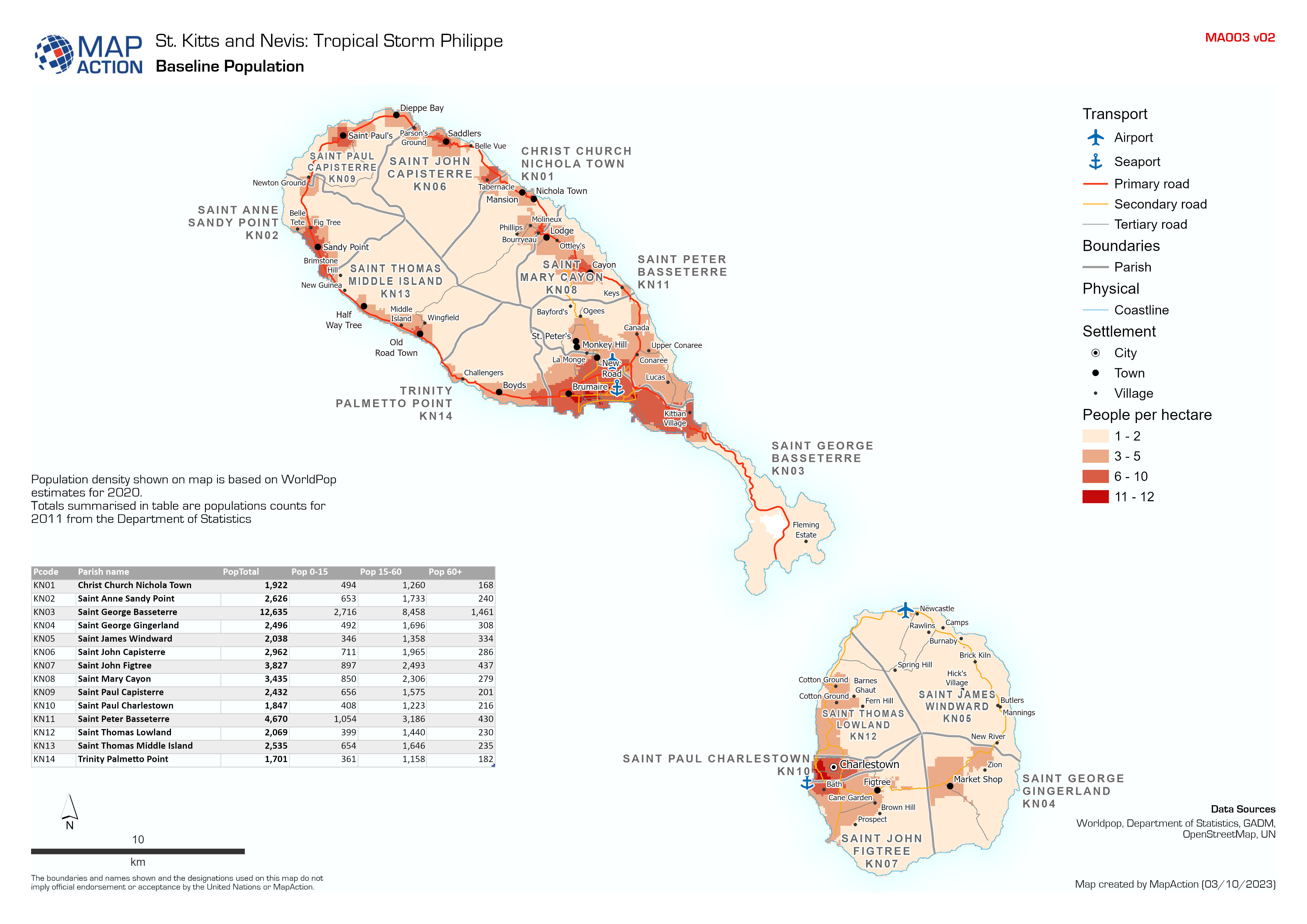
Baseline Population
Population density shown on map is based on WorldPop estimates for 2020. Totals summarised in table are populations counts for 2011 from the Department of Statistics -
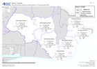
Country overview
Country overview showing administrative boundaries, main settlements, transport infrastructure and natural features. The overview map shows the storm track and the estimated...

