Datasets
-

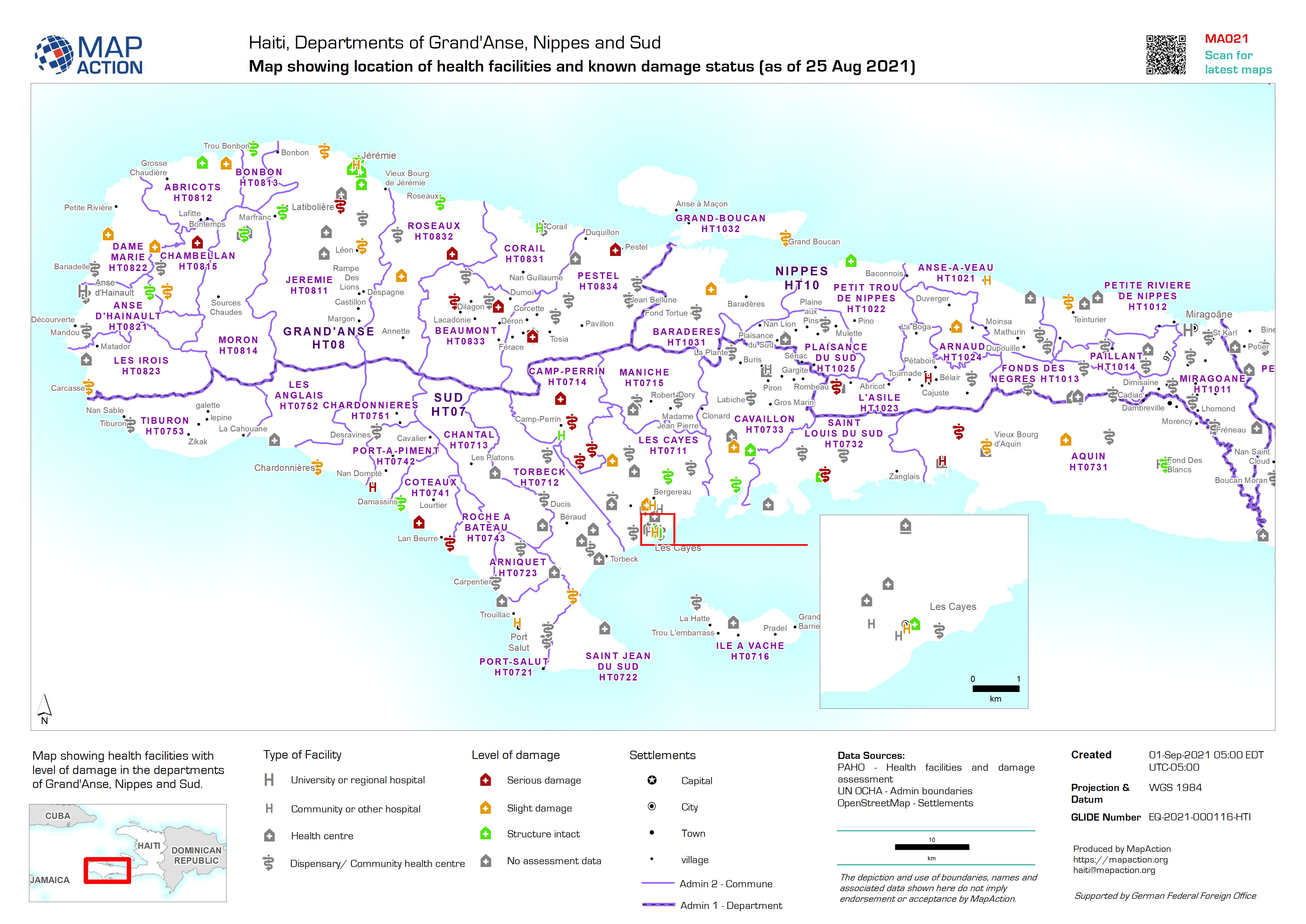
Map showing location of health facilities and known damage status (as of 25 A...
Map showing health facilities with level of damage in the departments of Grand'Anse, Nippes and Sud. Map based upon data published by PAHO accessed on 31/08/2021 -
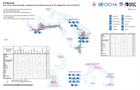
Who What Where activities / presence at sub-island level as of 7th September ...
Who What Where activities / presence at sub-island level as of 7th September 2019 20:00 EDT -

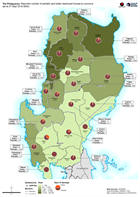
The Philippines: Affected population by municipality (as at 28 Sept 2018 0600)
Map shows the reported number of affected people per province. -
The Philippines: Reported number of partially and totally destroyed houses by...
Map shows the reported number of damaged and destroyed houses per province. -
-
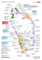
Anguilla: Hurricane Irma - CDEMA Assessments Locations (as of 13-Sep-2017)
Map shows an overview of the locations assessed by CDEMA for building structure, education and WASH. Assessment areas, ponds, settlements and roads are shown for reference. The... -

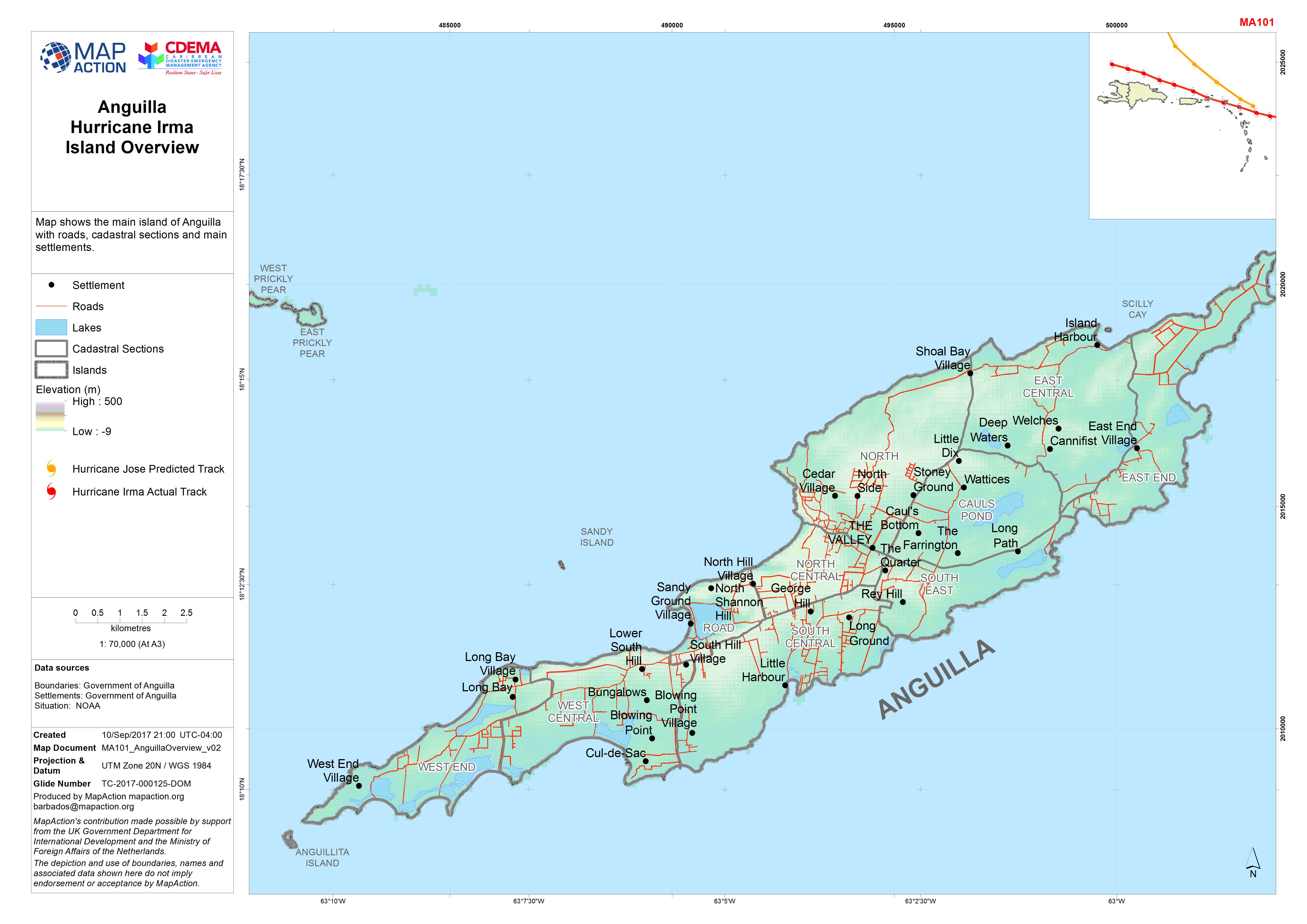
Anguilla Hurricane Irma Island Overview
Map shows the main island of Anguilla with roads, cadastral sections and main settlements. -

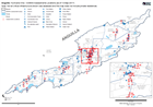
British Virgin Islands: Hurricane Irma- Orientation
Orientation map for British Virgin Islands showing islands, settlements and road network -
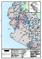
Perú: Temporada de Lluvias - Departamento de Piura - densidad de población.
El mapa muestra el Departamento de Piura con densidad poblacional. Los datos de densidad de población se basan en proyecciones de 2015 -
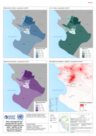
Perú: Emergencia por Temporada de Lluvias -Población específica por edad - di...
El mapa muestra las proyecciones de población por edad y distrito en las provincias de Piura, Sechura y Sullana. -

Perú: Emergencia por Temporada de Lluvias -Población específica por edad - di...
El mapa muestra las proyecciones de población por edad y distrito en las provincias de Piura, Sechura y Sullana.
