-

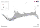
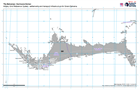
The Bahamas: Population of settlements based on 2010 Census and Geonames
Population of Abaco and Grand Bahama based on 2010 census -

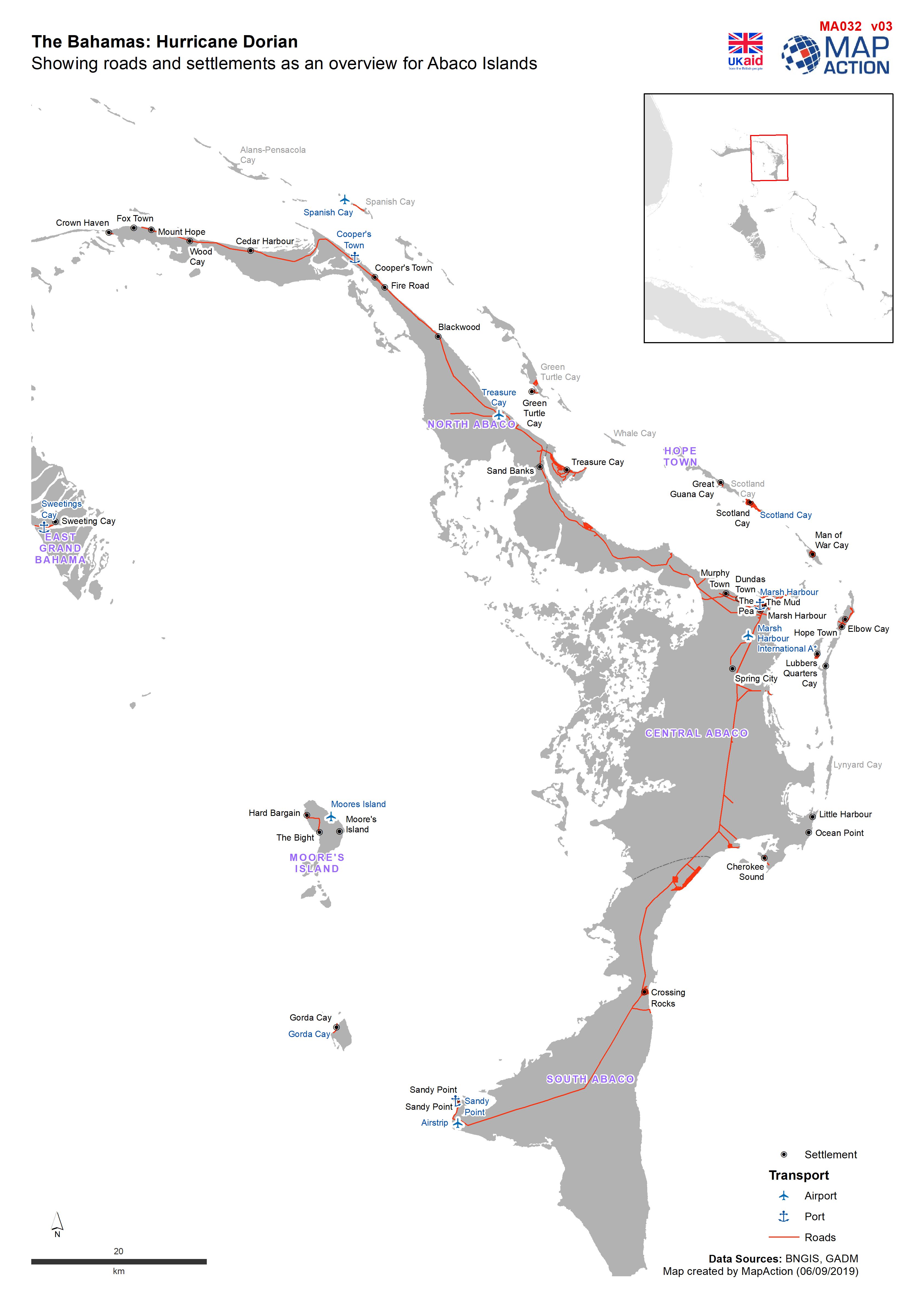
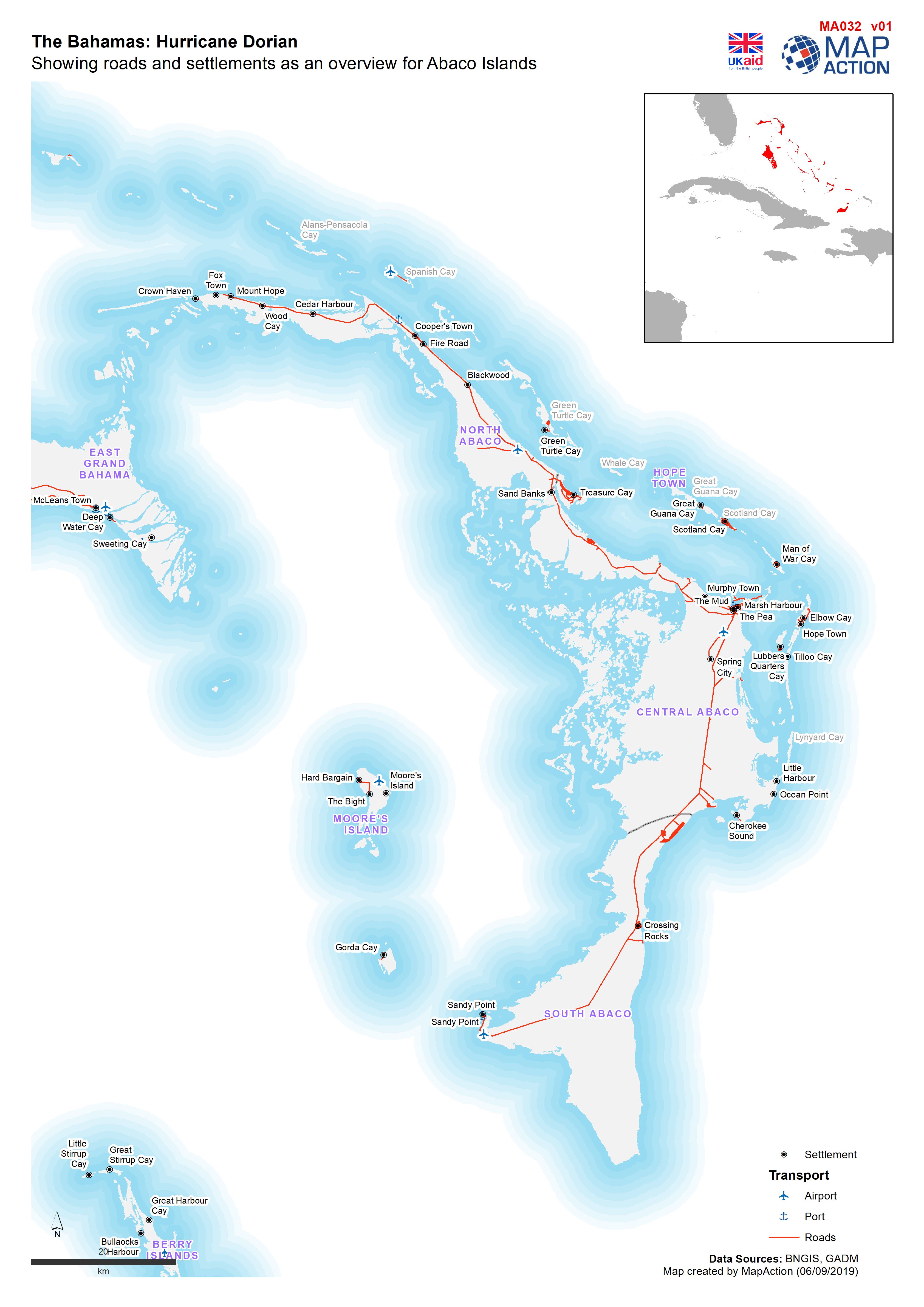
Showing roads and settlements as an overview for Abaco Islands
Simple map showing roads, ports and airports -

Roads and settlements as an overview for Abaco Islands
Simple map showing roads, ports and airports -
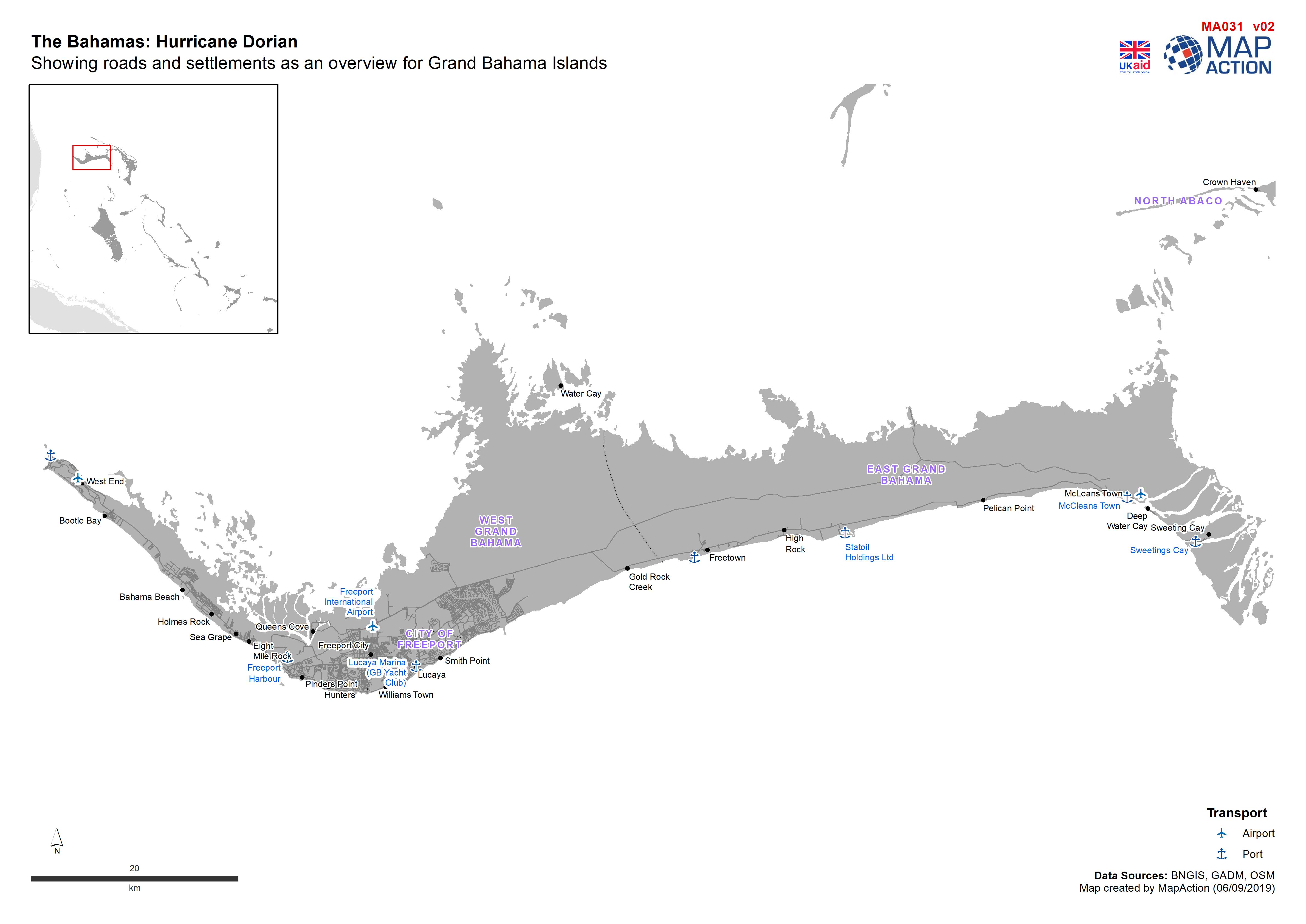
Showing roads and settlements as an overview for Grand Bahama Islands
Simple map showing roads, settlements, ports and airports -
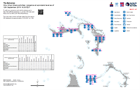
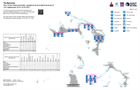
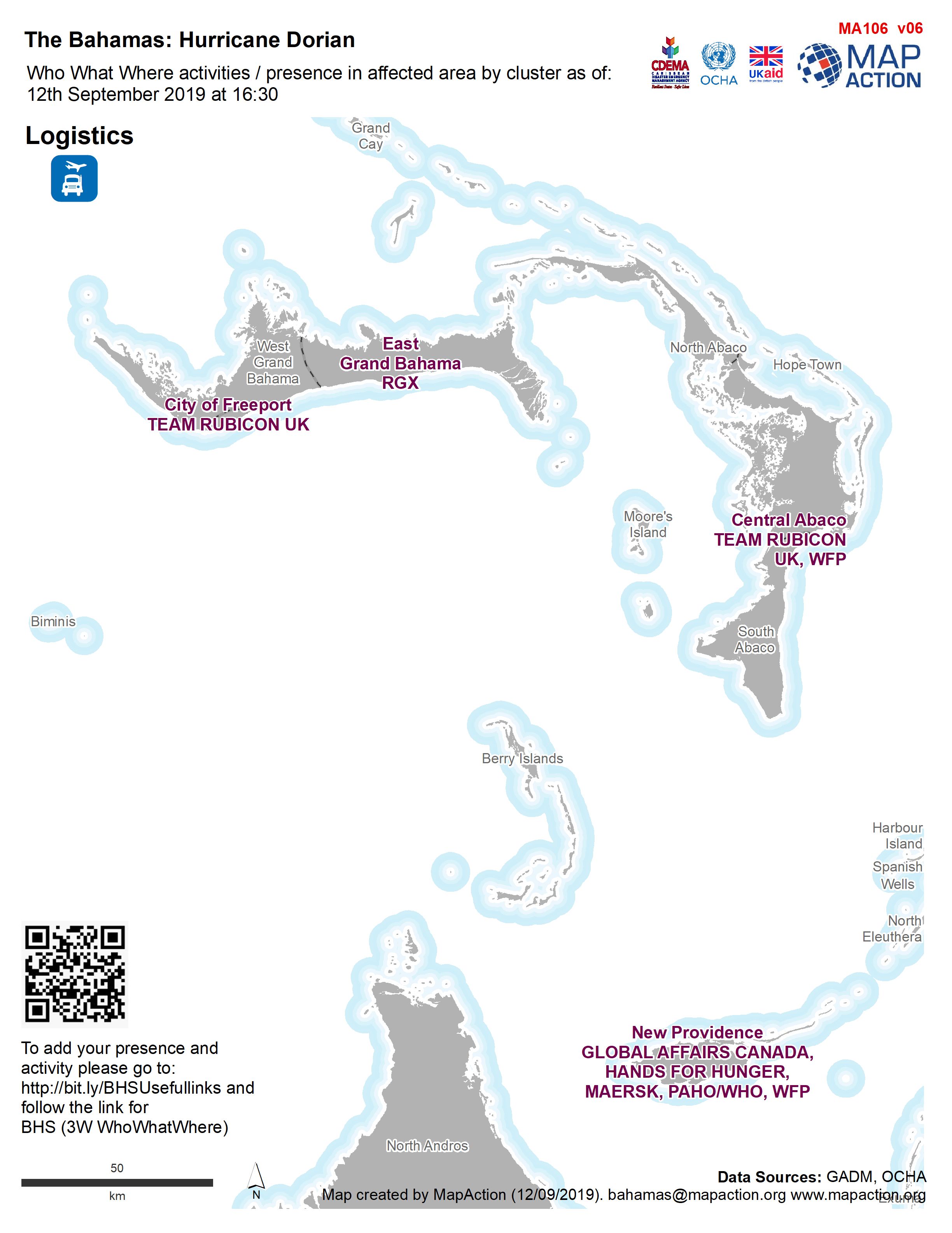
Who What Where activities / presence at sub-island level as of 12th September...
Who What Where activities / presence at sub-island level as of 12th September 2019 16:30 EDT -
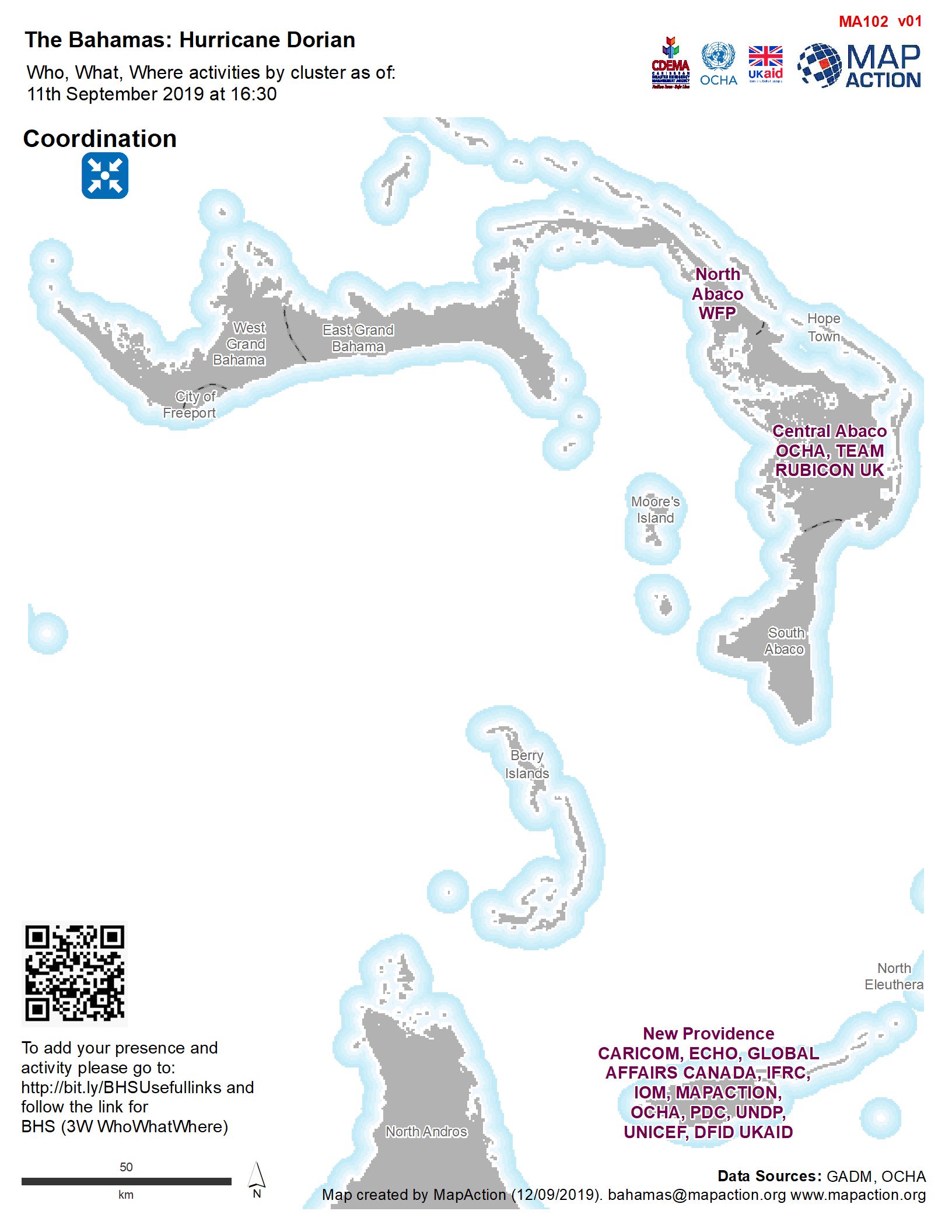
Who What Where activities / presence in affected area by cluster as of: 12th ...
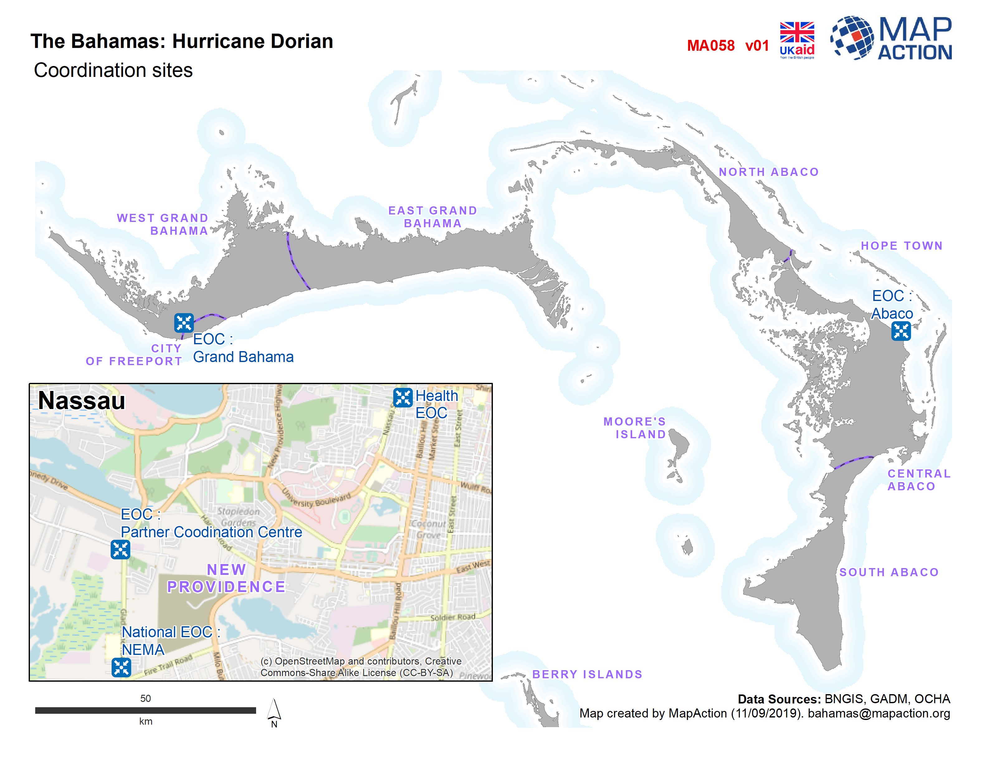
Who, What, Where for Coordination -

Who What Where activities / presence in affected area by cluster as of: 12th ...
Who, What, Where for Coordination -
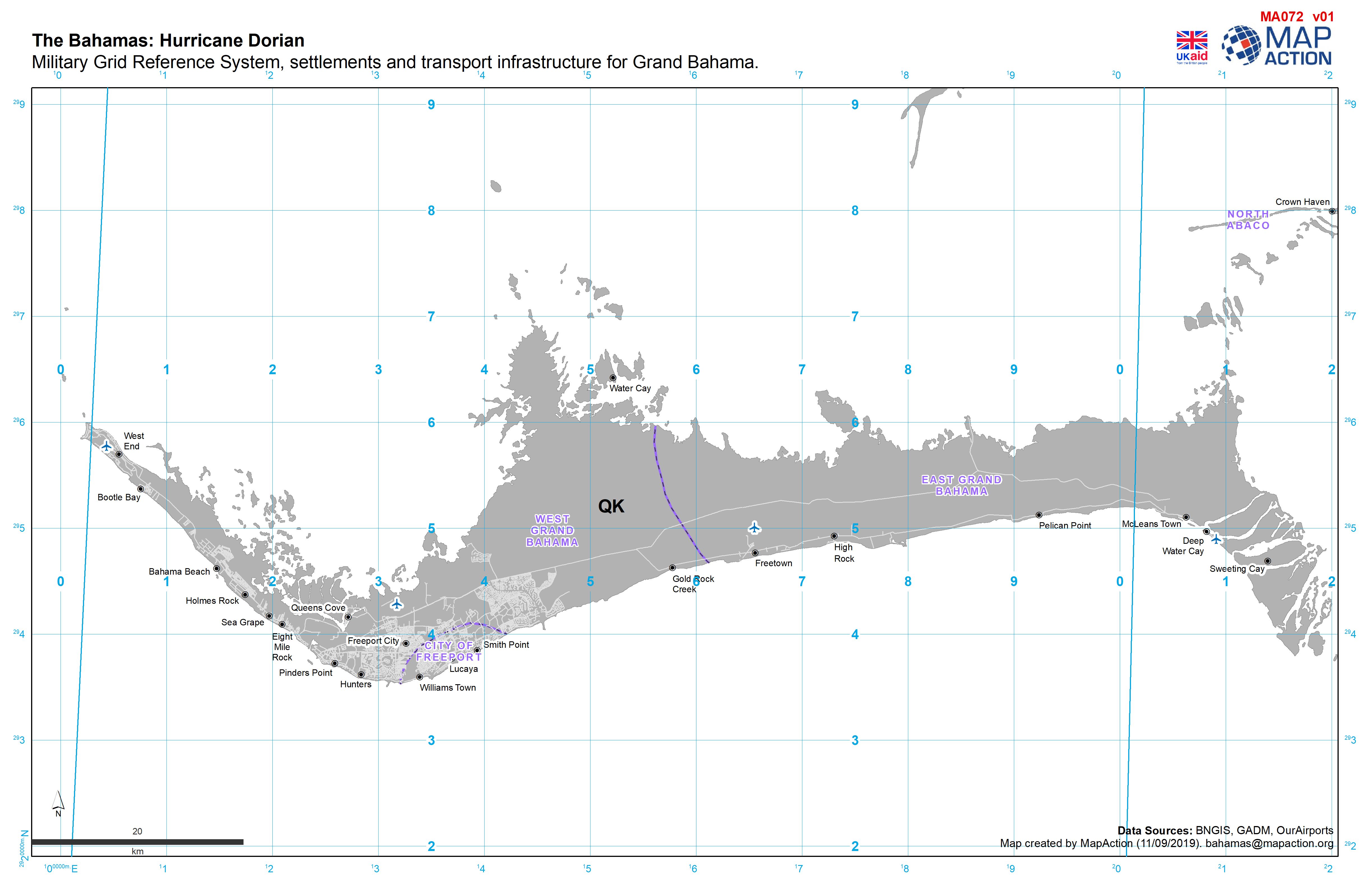
Military Grid Reference System, settlements and transport infrastructure for ...
Military survey reference grid map for Abaco -
Military Grid Reference System, settlements and transport infrastructure for ...
Military survey reference grid map for Grand Bahama and Abaco -

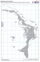
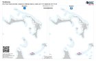
The Bahamas: Hazardous sites, settlements, 2019 population at sub island leve...
Hazardous sites in Abaco, with population and building damage assessment data -

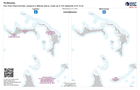
The Bahamas: Hazardous sites, settlements, 2019 population at sub island leve...
Hazardous sites, population and building assessment data -
Who What Where activities / presence at sub-island level as of 11th September...
Who What Where activities / presence at sub-island level as of 11th September 2019 16:30 EDT -

Who What Where activities / presence in affected area by cluster as of 11th S...
3W for Agriculture and Coordination -

Who What Where activities / presence in affected area by cluster as of 11th S...
3W map for food security and health (including HIV/AIDS) -
Who What Where activities / presence in affected area by cluster as of 11th S...
3W for Education and Nutrition -

Who What Where activities / presence in affected area by cluster as of 11th S...
3W for Telecoms and WASH -
Who What Where activities / presence in affected area by cluster as of 10th S...
3W for Logistics and Multi-Cluster -
Who What Where activities / presence in affected area by cluster as of 11th S...
3W map for food security and health (including HIV/AIDS) -

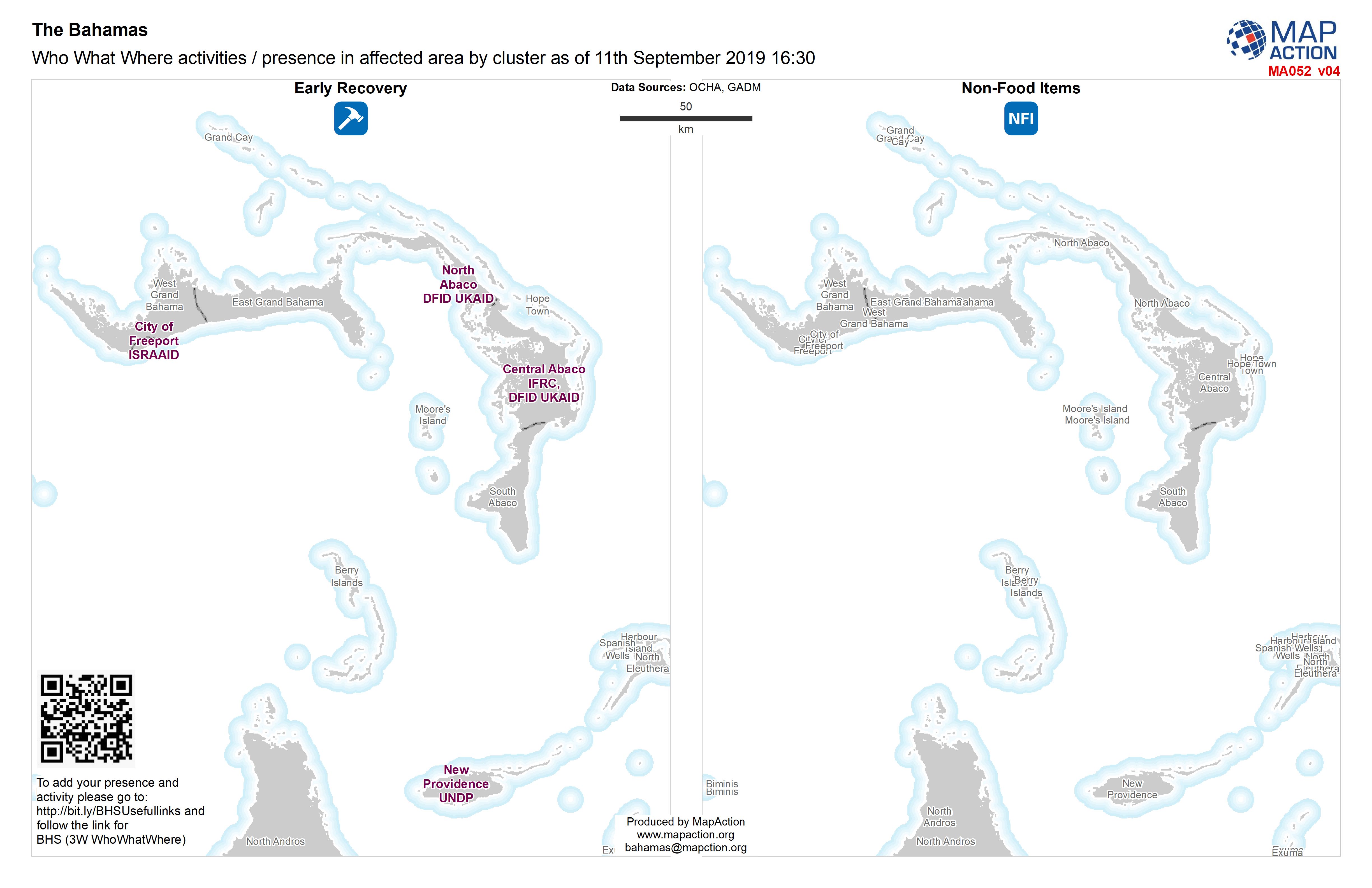
Who What Where activities / presence in affected area by cluster as of 11th S...
Who What Where activities / presence in affected area by cluster as of11th September 2019 16:30 -