-

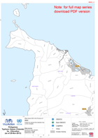
Philippines Typhoon Haiyan (Yolanda) Eastern Samar Reference Map (as of 20-No...
Reference Map series focuses on East Samar Province -
Philippines Typhoon Haiyan (Yolanda) Biliran Reference Map (as of 21-Nov-2013)
Map series focuses on Biliran Province -
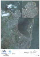
Philippines Typhoon Haiyan (Yolanda) Tacloban Debris Removal (as of 26-Nov-2013)
Map shows Tacloban City and the near area satellite imagery post Typhoon Yolanda for the purposes of debris removal.Please be advised that datasets may not be complete. -

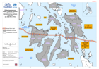
PhilippinesTyphoon Haiyan (Yolanda)Philippines Orientation Map(as of 16 Nov 2...
Map is provided to show a general overview of the area affected by the typhoon. The path of the storm is shown for reference, boundaries are given at admin 1 and 2 levels... -
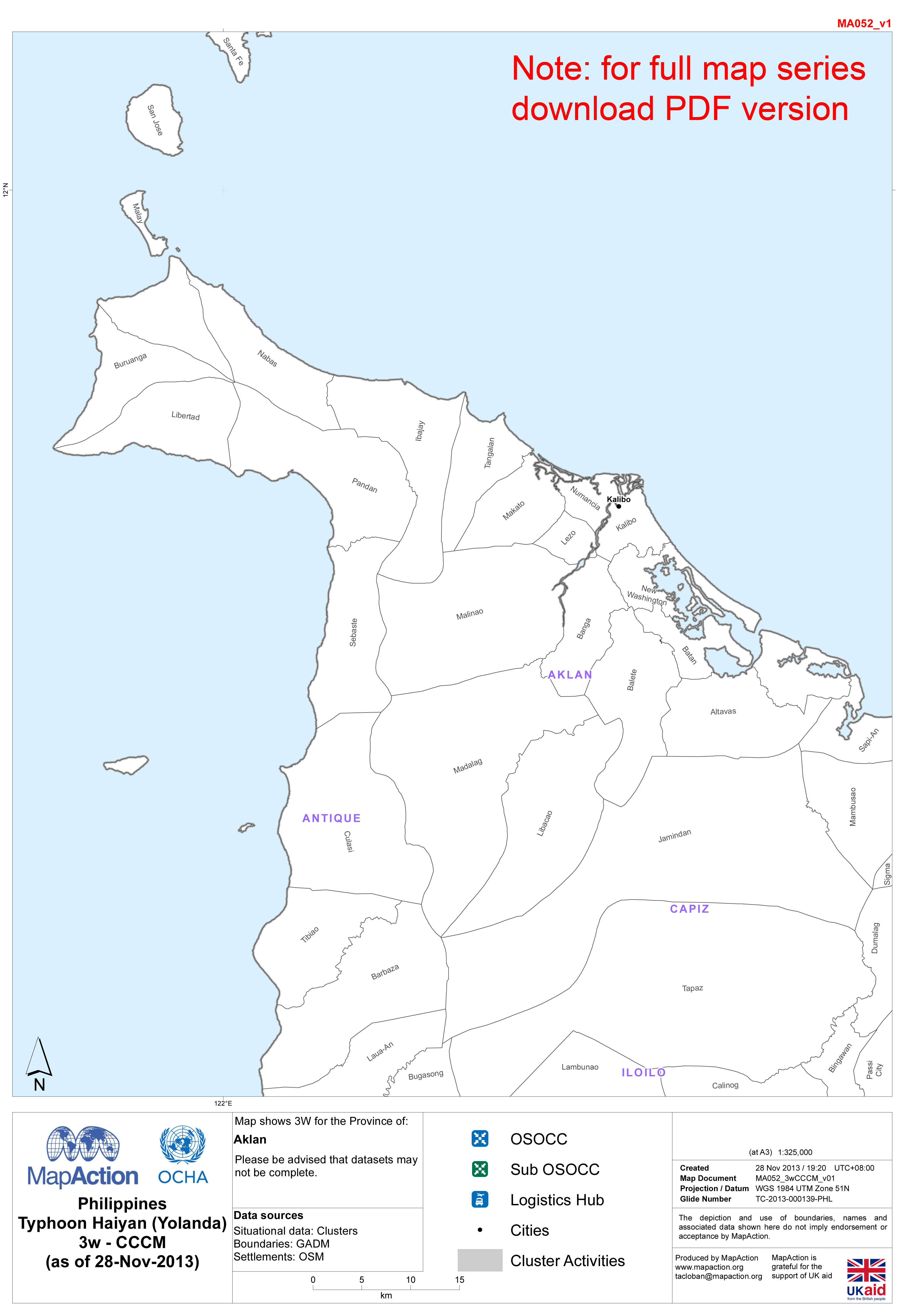
Philippines Typhoon Haiyan (Yolanda) 3w - CCCM, as of 28-Nov-2013 (Province M...
Map series showing CCCM Cluster who, what, where activities for 19 provinces. Note: Large file size - approx. 12Mb -

Philippines Typhoon Haiyan (Yolanda) 3w - WASH, as of 28-Nov-2013 (Province M...
Map series showing WASH Cluster who, what, where activities for 19 provinces. Note: Large file size - approx. 12Mb -

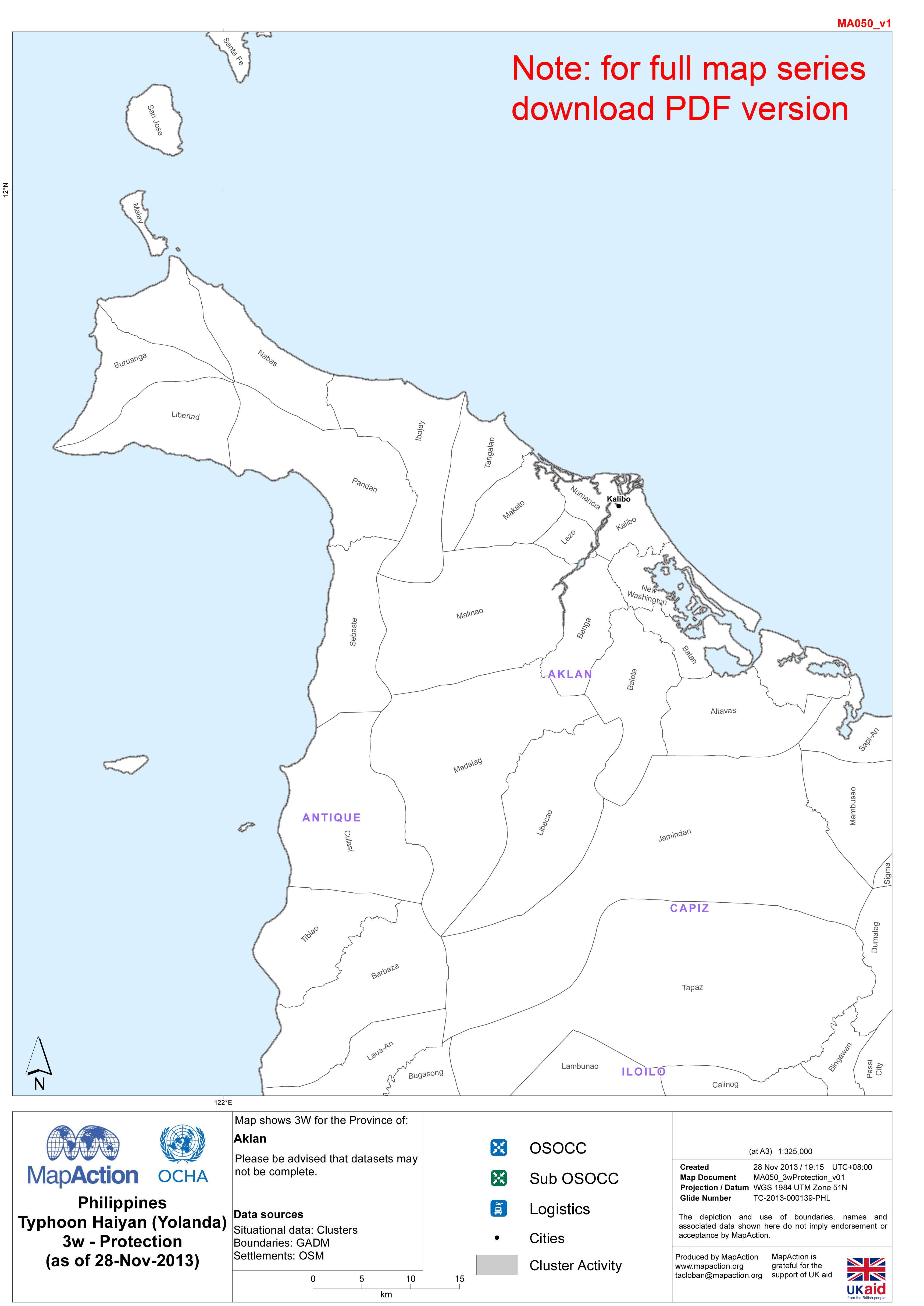
Philippines Typhoon Haiyan (Yolanda) 3w - Protection, as of 28-Nov-2013 (Prov...
Map series showing Protection Cluster who, what, where activities for 19 provinces. Note: Large file size - approx. 12Mb -

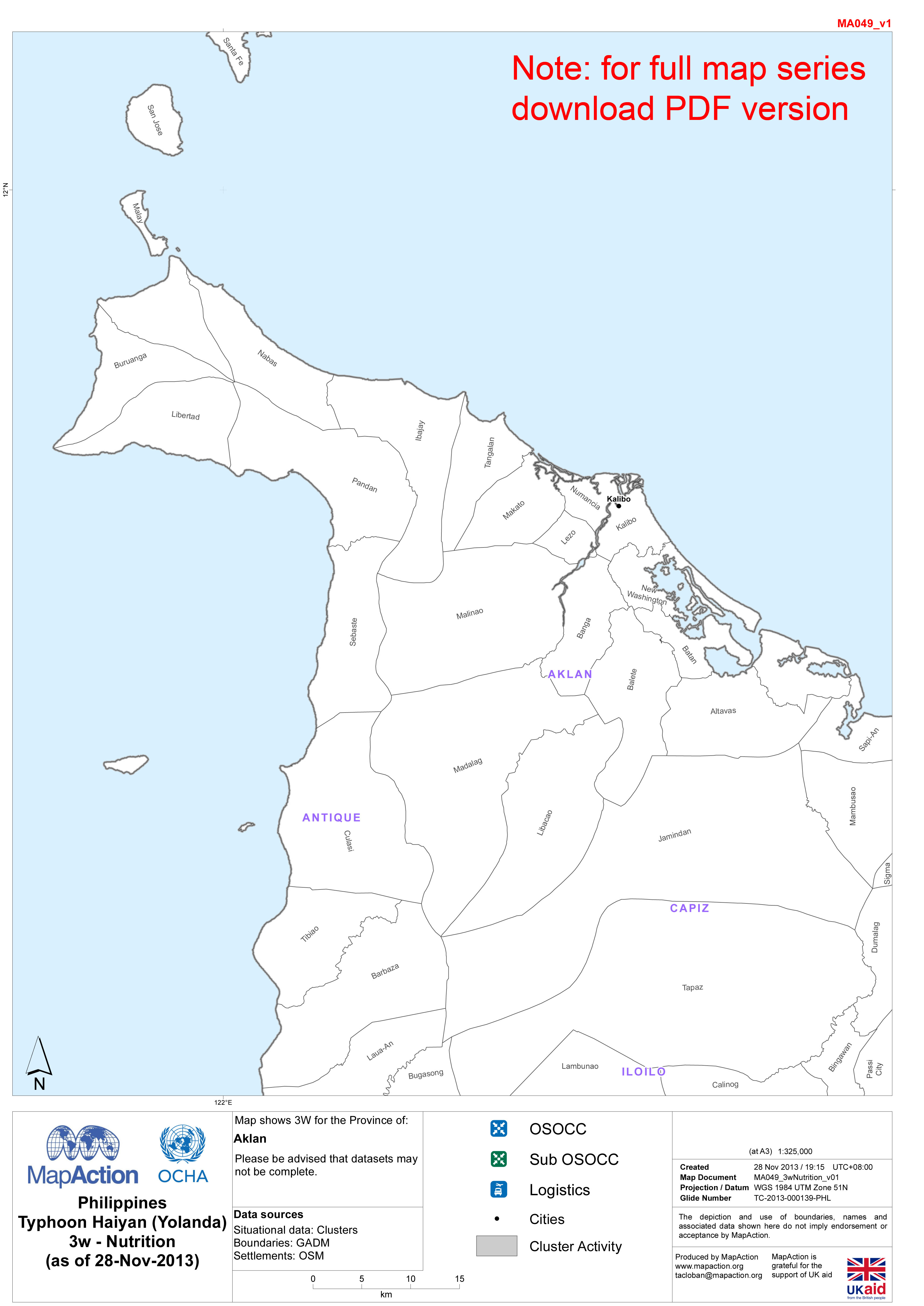
Philippines Typhoon Haiyan (Yolanda) 3w - Nutrition, as of 28-Nov-2013 (Provi...
Map series showing Nutrition Cluster who, what, where activities for 19 provinces. Note: Large file size - approx. 12Mb -

Philippines Typhoon Haiyan (Yolanda) 3w - Logistics, as of 28-Nov-2013 (Provi...
Map series showing Logistics Cluster who, what, where activities for 19 provinces. Note: Large file size - approx. 12Mb -

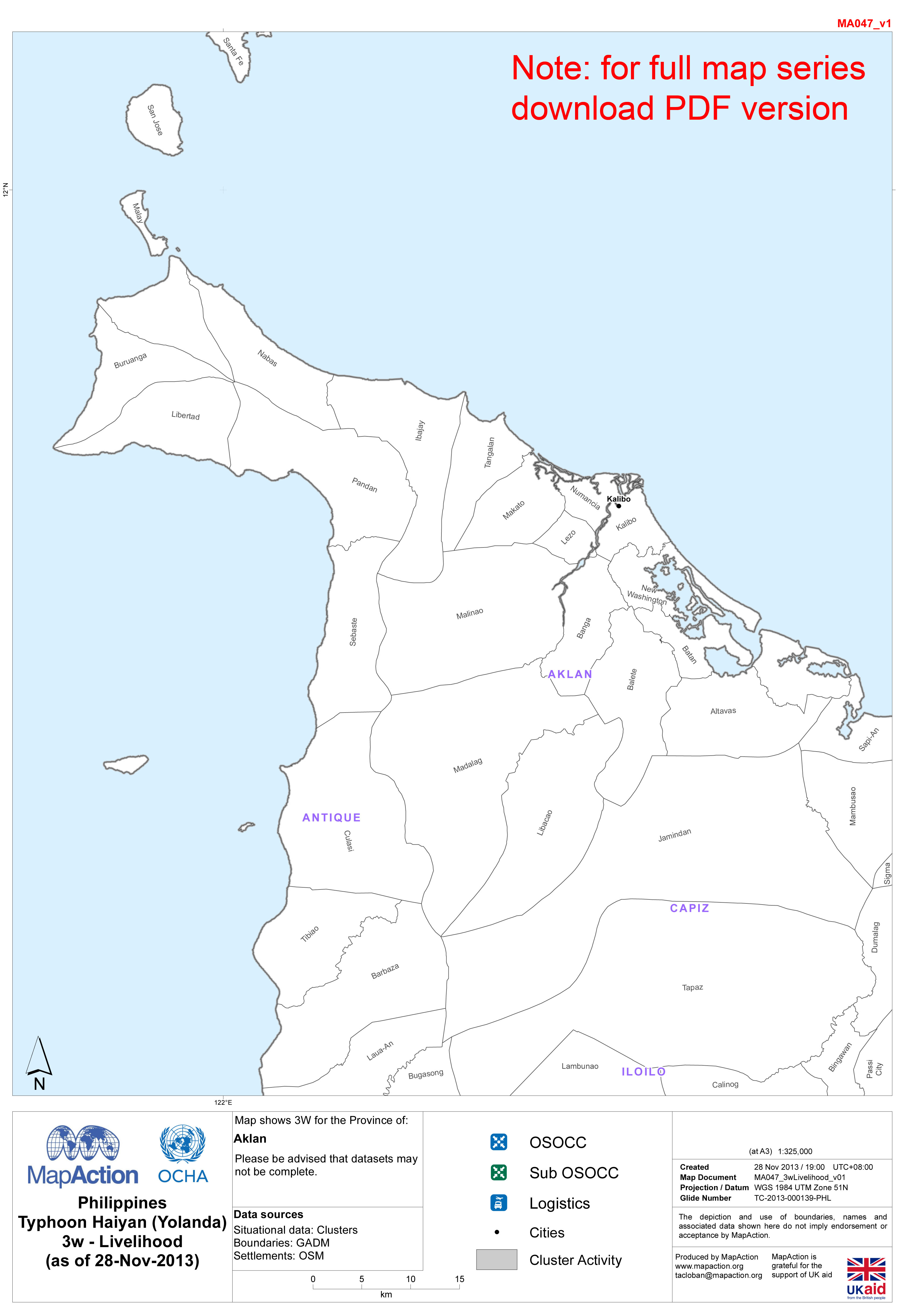
Philippines Typhoon Haiyan (Yolanda) 3w - Livelihood, as of 28-Nov-2013 (Prov...
Map series showing Livelihood Cluster who, what, where activities for 19 provinces. Note: Large file size - approx. 12Mb -
Philippines Typhoon Haiyan (Yolanda) 3w - Emergency Telecoms, as of 28-Nov-20...
Map series showing Emergency Telecoms Cluster who, what, where activities for 19 provinces. Note: Large file size - approx. 12Mb -
Philippines Typhoon Haiyan (Yolanda) 3w - Emergency Shelter, as of 28-Nov-201...
Map series showing Emergency Shelter Cluster who, what, where activities for 19 provinces. Note: Large file size - approx. 12Mb -
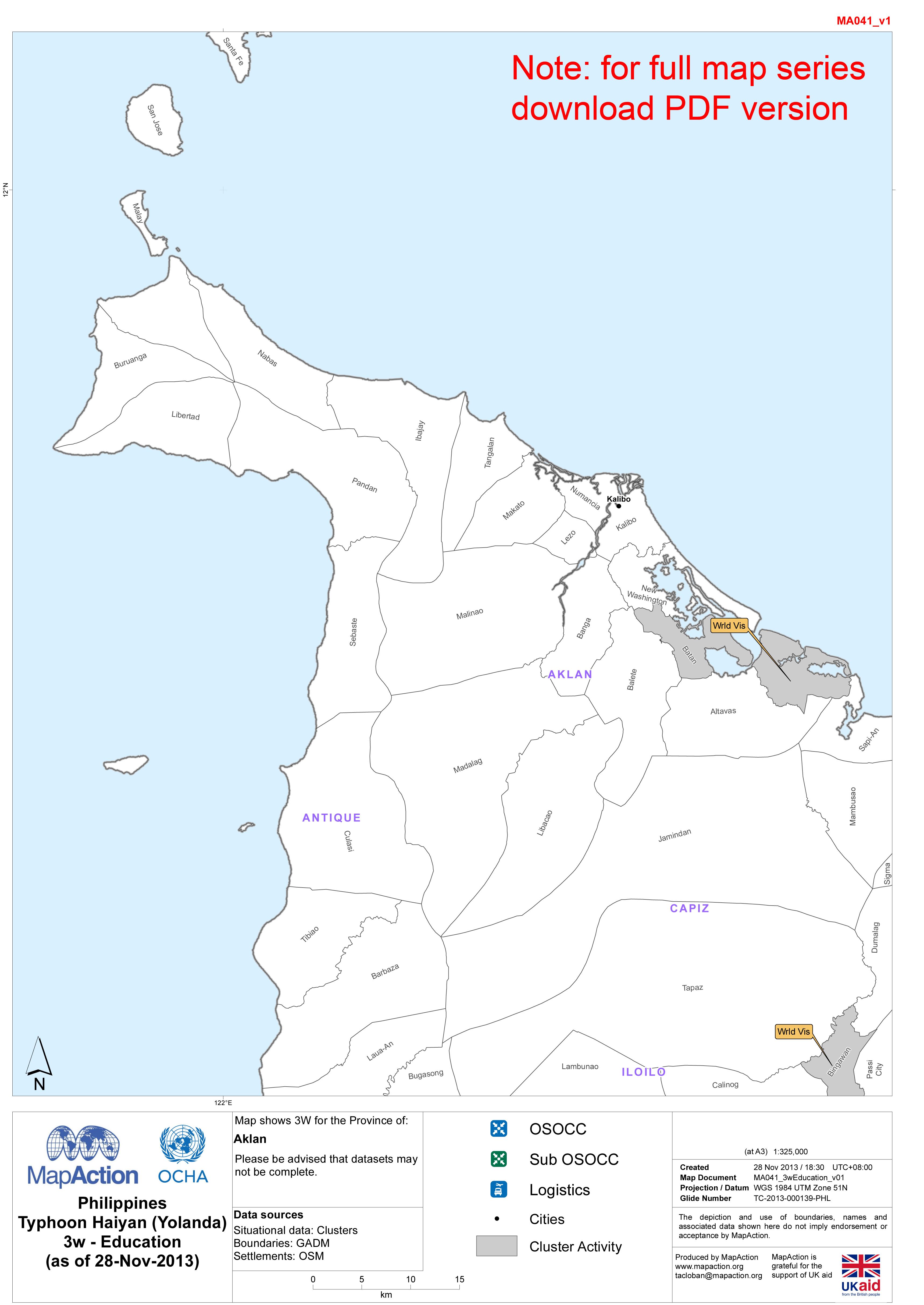
Philippines Typhoon Haiyan (Yolanda) 3w - Education, as of 28-Nov-2013 (Provi...
Map series showing Education Cluster who, what, where activities for 19 provinces. Note: Large file size - approx. 12Mb -

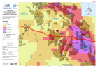
Philippines Typhoon Haiyan (Yolanda) 3w Overview - Data from 27-Nov-2013
Map shows number of Cluster agencies per Province. Information has been taken from OCHA andhttp://philippines.humanitarianresponse.info -
Philippines Typhoon Haiyan (Yolanda) Accumulated Rainfall 06-Nov-2013 to 09-N...
Map shows accumulated rainfall (mm) for the period 06-Nov-2013 1200 to 09-Nov-2013 0900. -
Philippines Typhoon Haiyan (Yolanda): Nutrition in Emergencies - Planned inte...
This dataset has no description
-

Philippines Typhoon Haiyan (Yolanda) Situational Information (as of 26-Nov-20...
This dataset has no description
-

Philippines Typhoon Haiyan (Yolanda) Ormoc Area Municipalities (as of 20 Nov-...
Map shows municipalities around Ormoc City. Roads and main settlements are shown for reference.Please be advised that datasets may not be complete. -

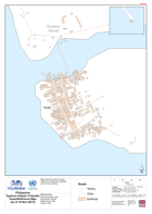
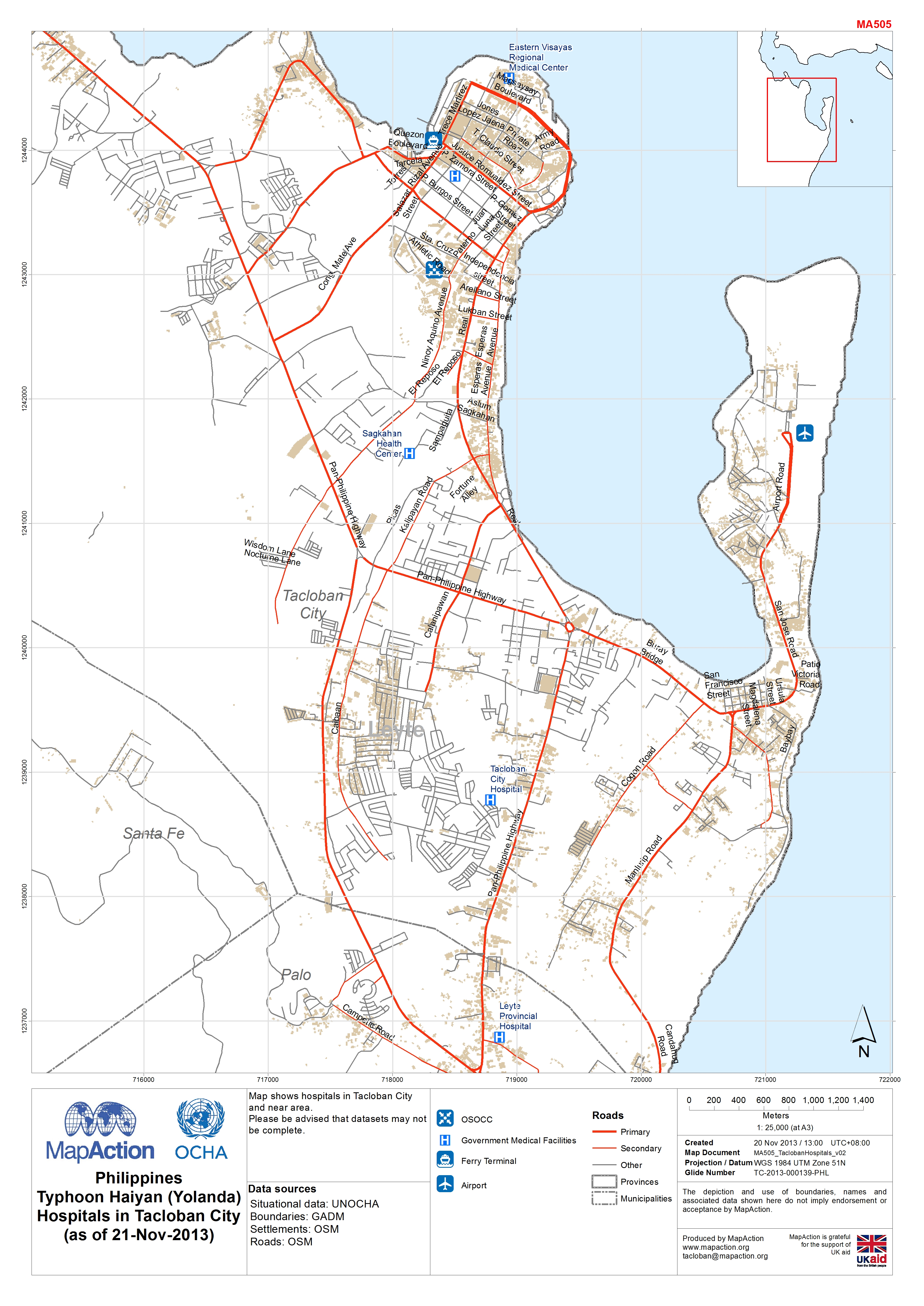
Philippines Typhoon Haiyan (Yolanda) Hospitals in Tacloban City (as of 21-Nov...
Map shows hospitals in Tacloban City and near area.Please be advised that datasets may not be complete. -
Philippines Typhoon Haiyan (Yolanda) Guian Reference Map (as of 18-Nov-2013)
Map shows the town of Guian.