-

Tanzania Earthquake NE of Kagera Region Administrative Map (as of 22 Sep 2016)
Map shows the extent of the damaged districts/wards from the Earthquake with terrain. This is primarily a reference map with villages, road and river displayed to show context... -

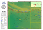
Bahamas: Hurricane Matthew - Reference - Country Map
Reference map for Bahamas showing major islands, districts and topographic features -

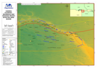
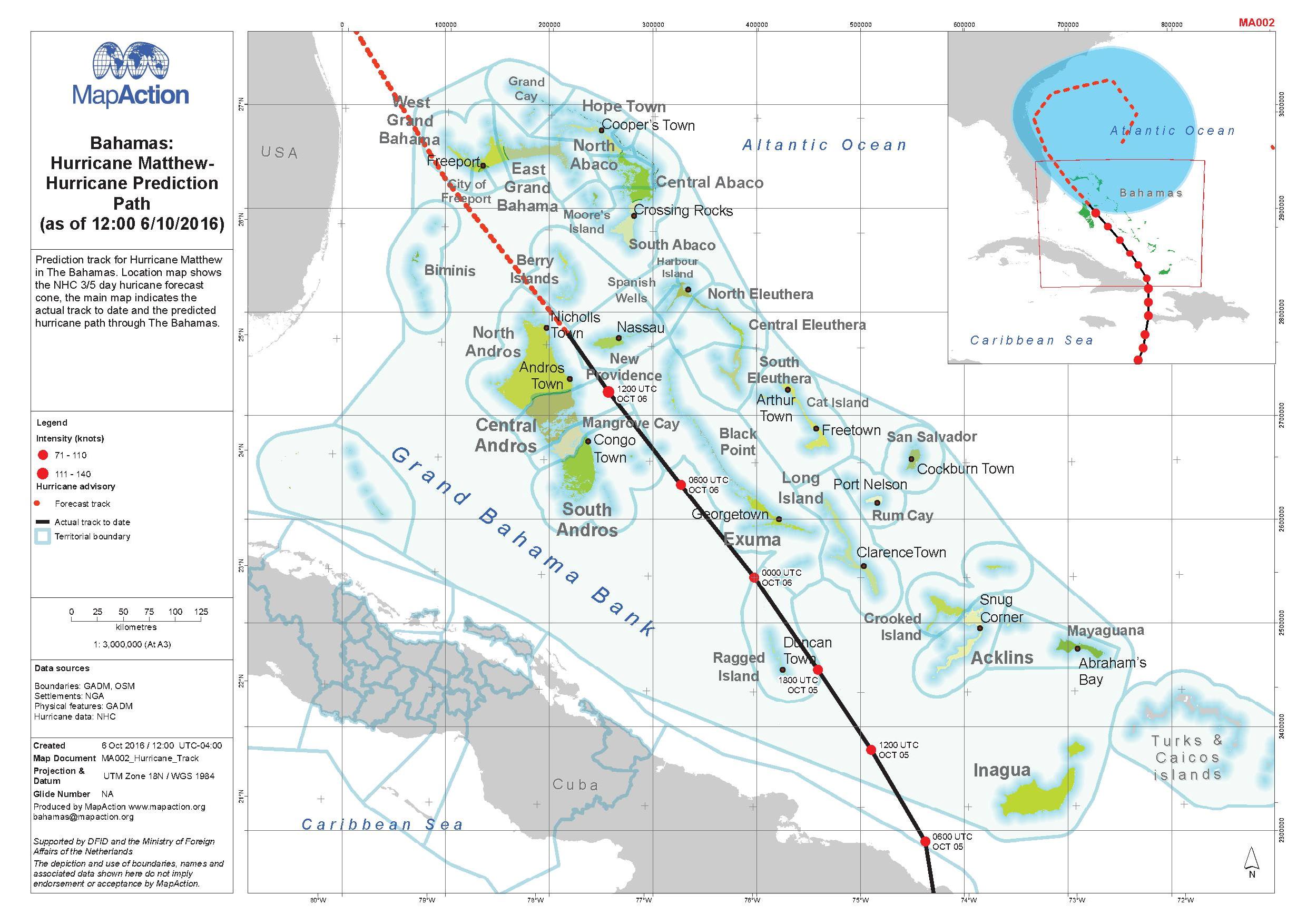
Bahamas: Hurricane Matthew - Hurricane Prediction Path (as of 12:00 6/10/2016)
Prediction track for Hurricane Matthew in The Bahamas. Location map shows the NJC 3/5 day hurricane forecast. The main map indicates the actual track to date and the predicted... -
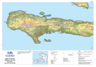
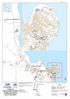
Haiti: Hurricane Matthew, General Overview (as of 6 Oct 2016)
Reference map showing main affected areas of Haiti following hurricane Matthew. -
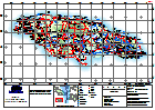
Jamaica: Hurricane Matthew - Topographic Reference
General Topography Map of Jamaica for orientation, including major settlement, topography and transport infrastructure. -

Cape Verde - Brava - Reference Map (Mapa de Referência)
Basic reference map of Brava island in Cape Verde showing terrain and location of port, transport routes and main settlements (Portuguese version) -

Cape Verde - Brava - Reference Map
Basic reference map of Brava island in Cape Verde showing terrain and location of port, transport routes and main settlements -
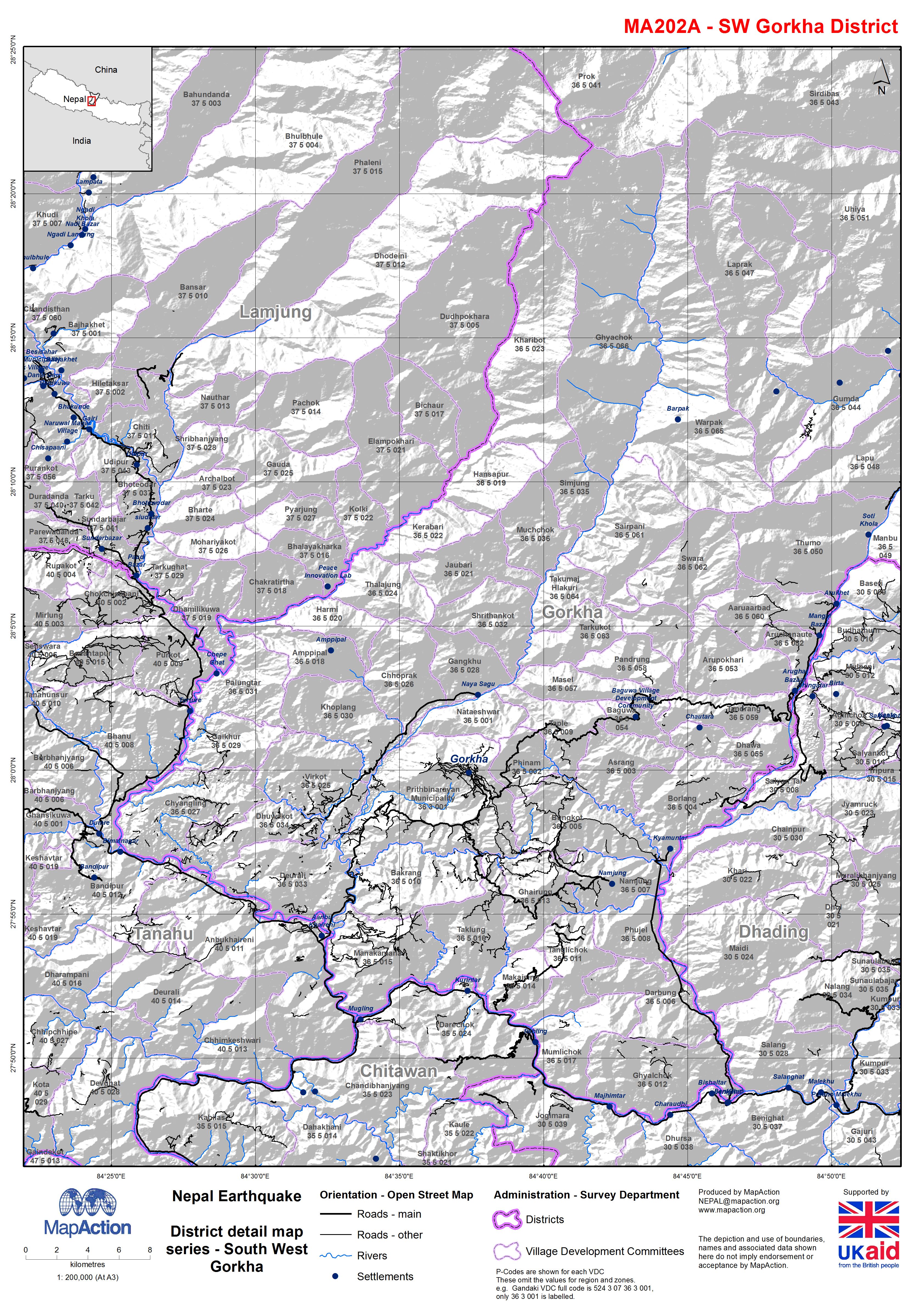
Nepal: Earthquake - District detail map series - South West Gorkha
Map shows the terrain, roads, rivers and settlements. -

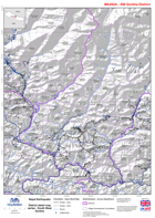
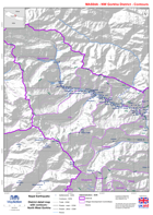
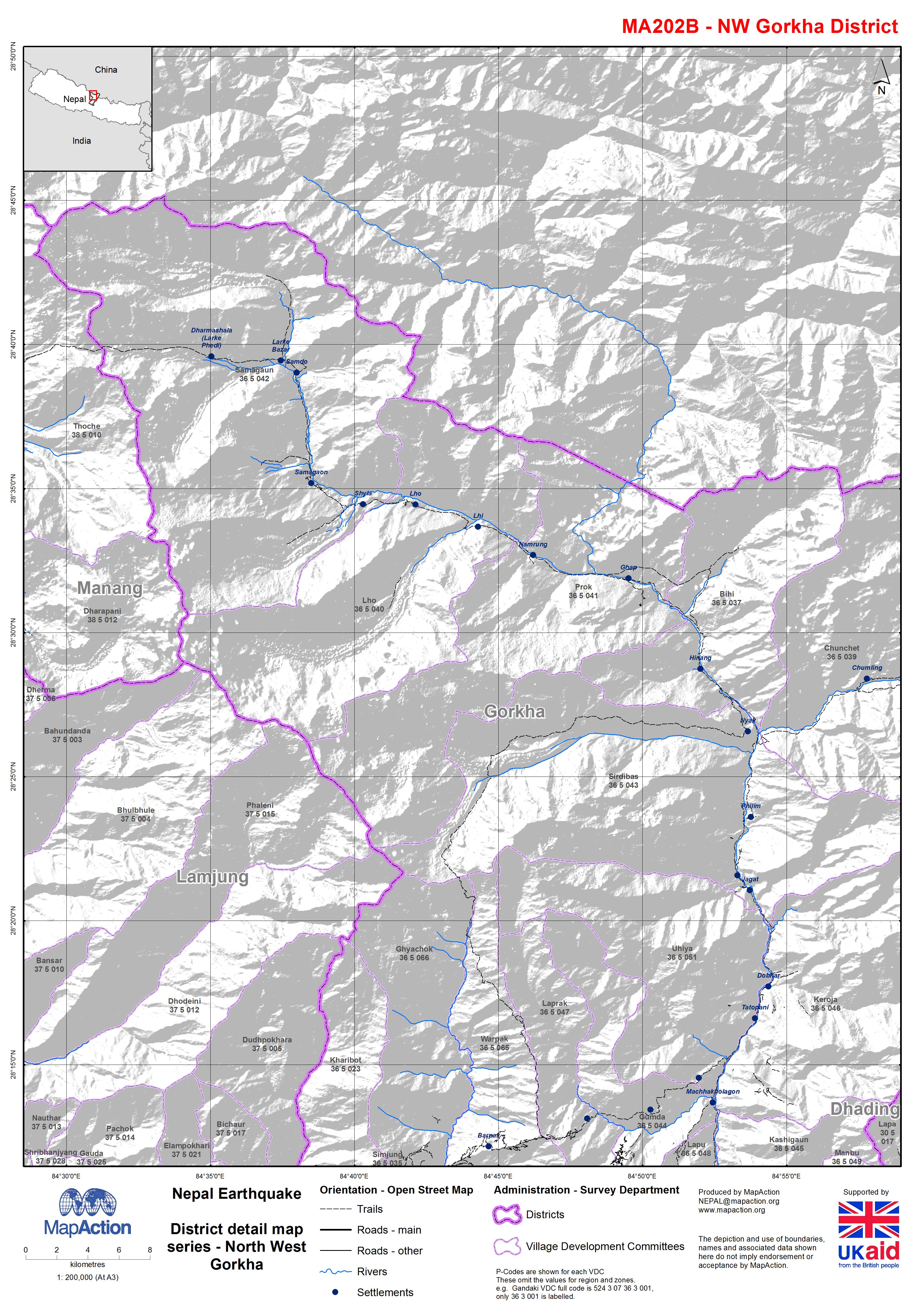
Nepal: Earthquake - District detail map series - North West Gorkha
Map shows the terrain, roads, rivers and settlements. -
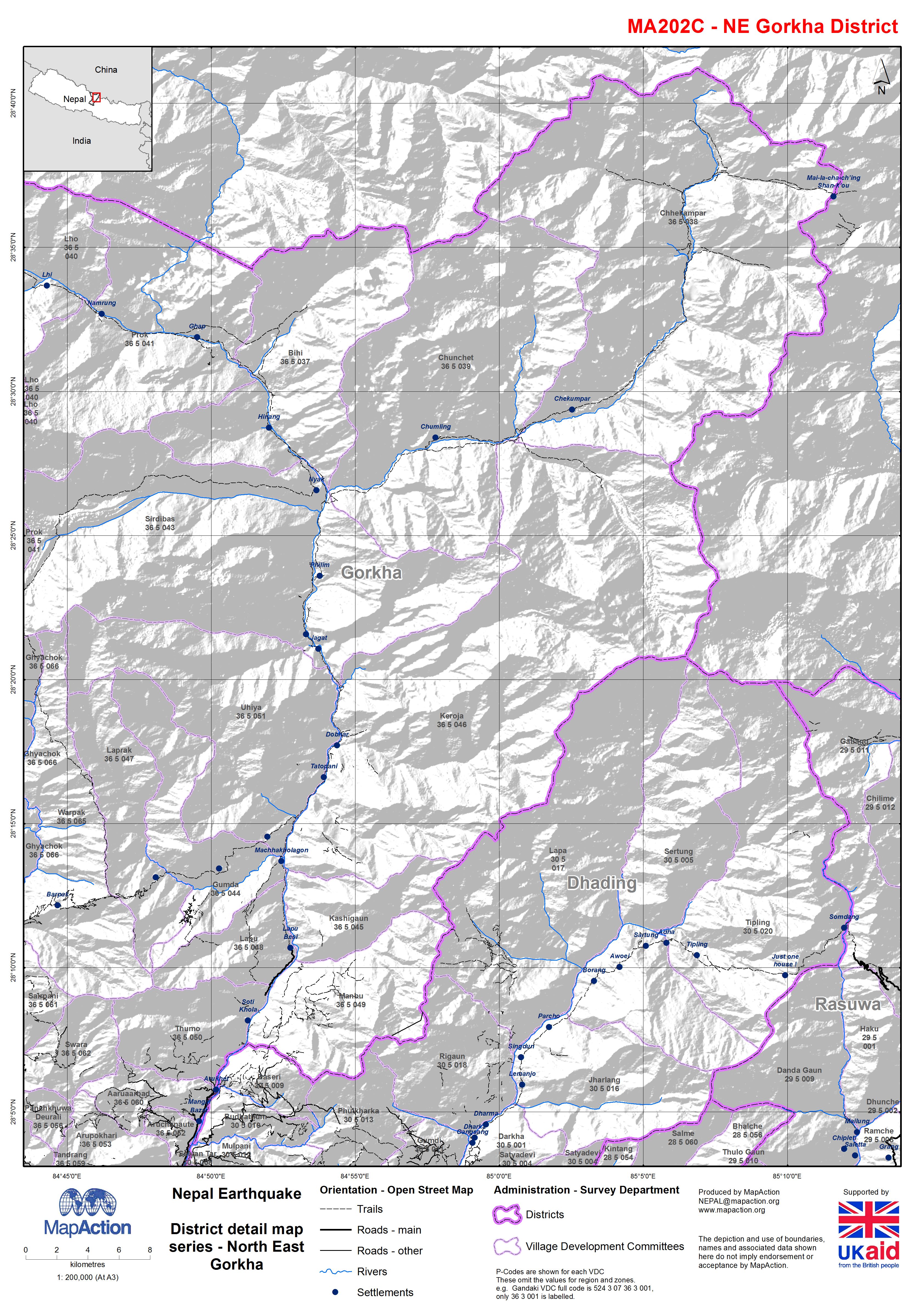
Nepal: Earthquake - District detail map series - North East Gorkha
Map shows the terrain, roads, rivers and settlements. -
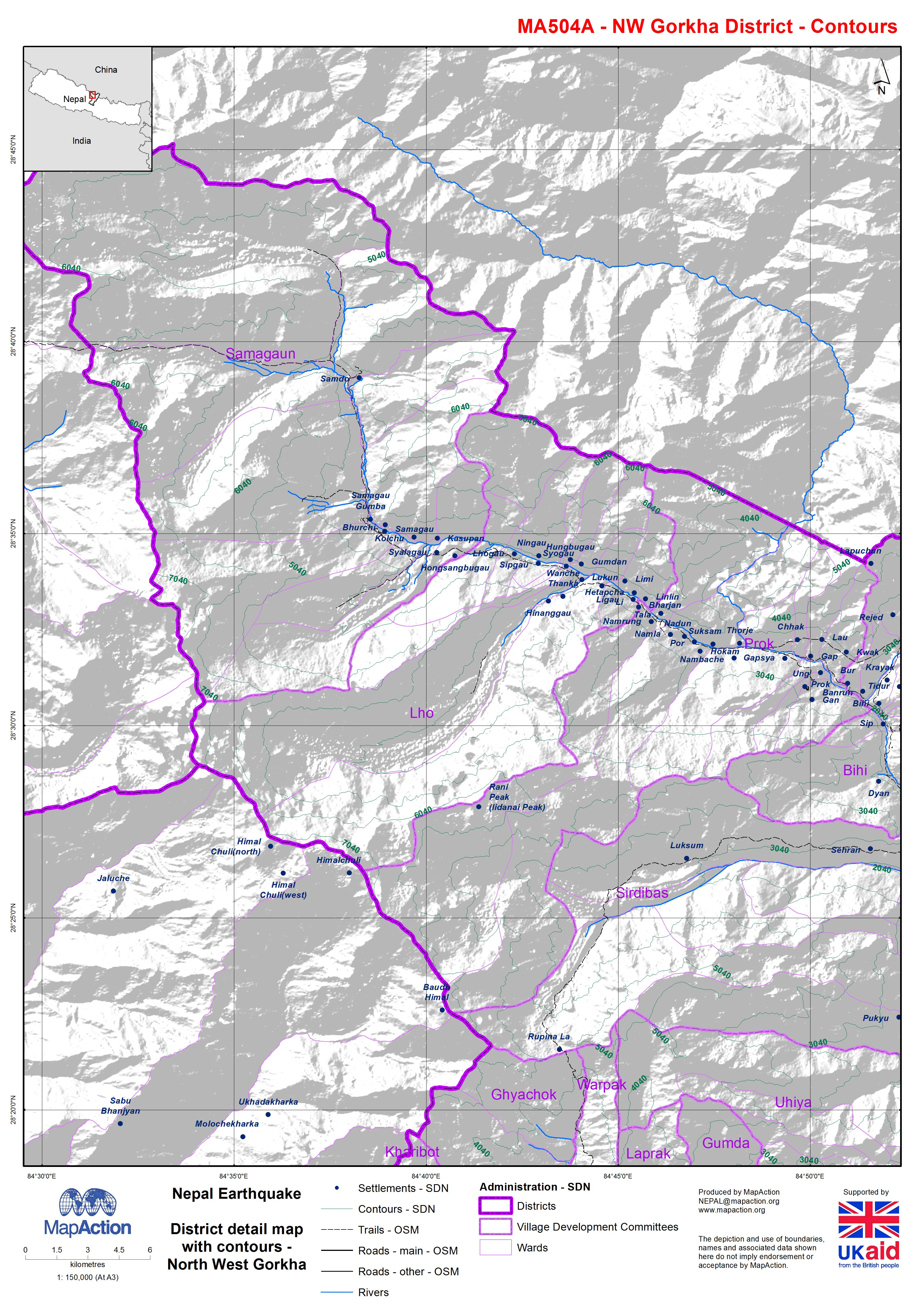
Nepal: Earthquake - District detail map with contours - North West Gorkha
Map shows the terrain, roads, rivers and settlements. -

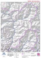
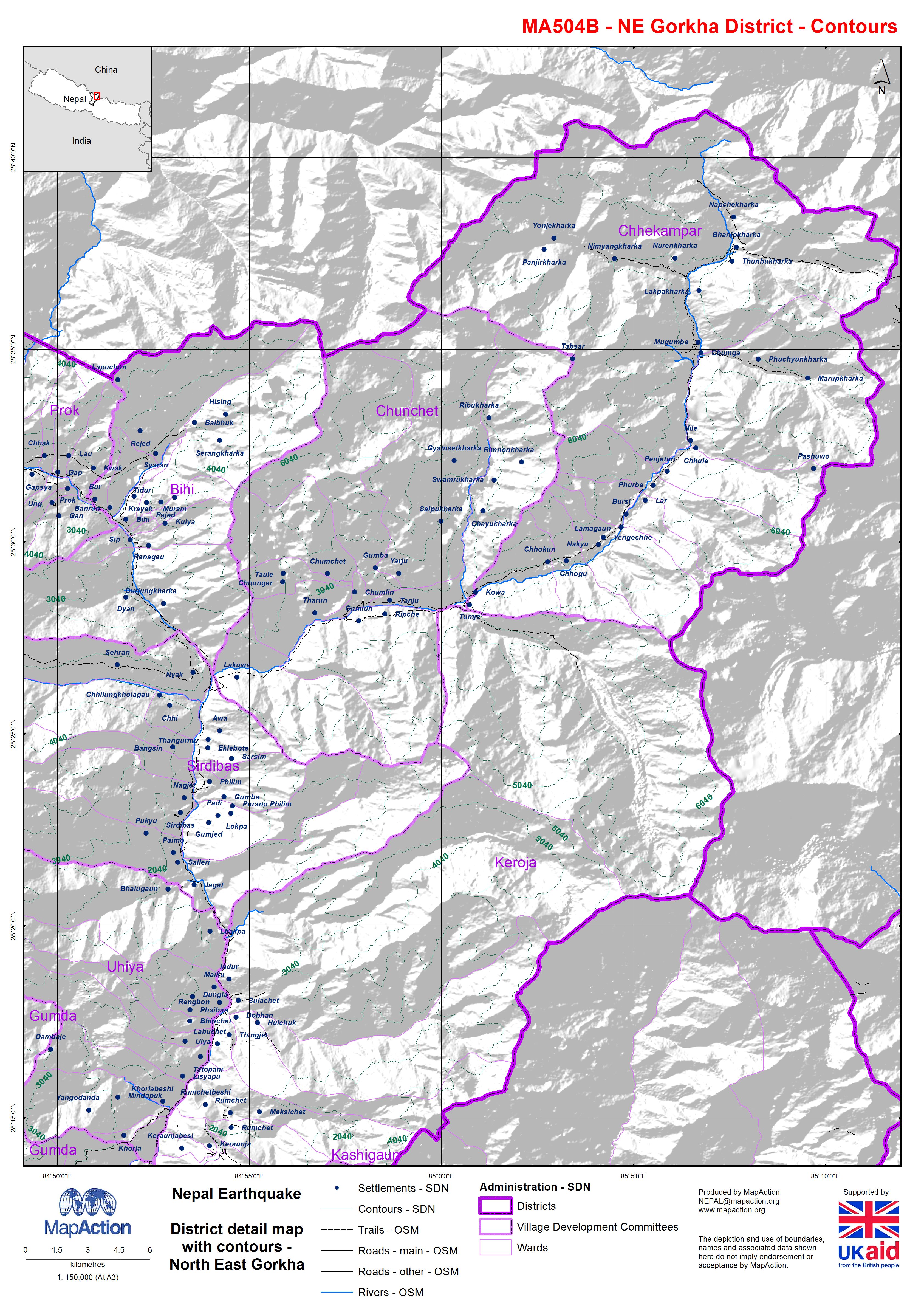
Nepal: Earthquake - District detail map with contours - North East Gorkha
Map shows the terrain, roads, rivers and settlements. -
-
-

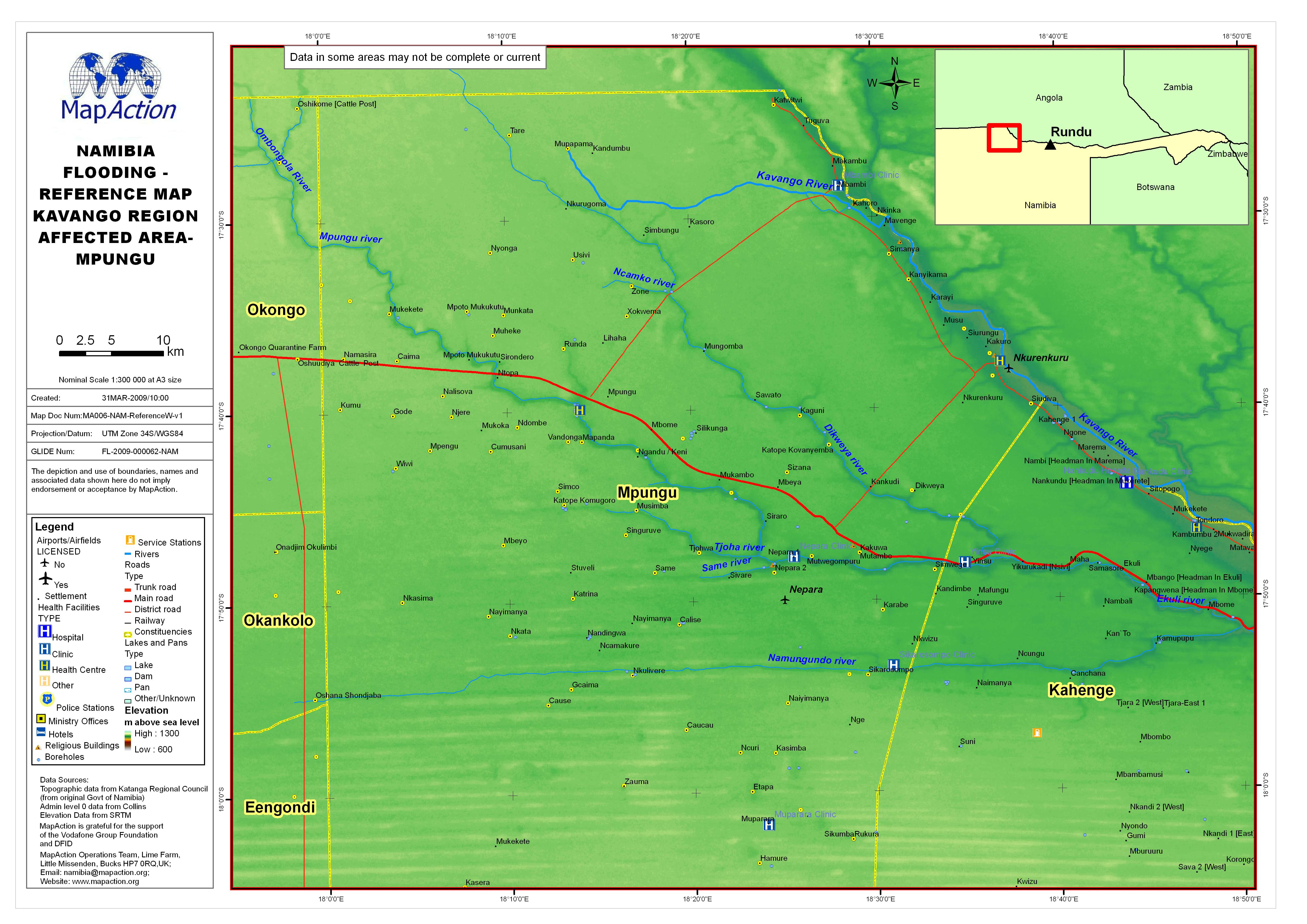
Reference Map: Kavango Region affected area Rundu Rural/Mashare
This dataset has no description
-

-
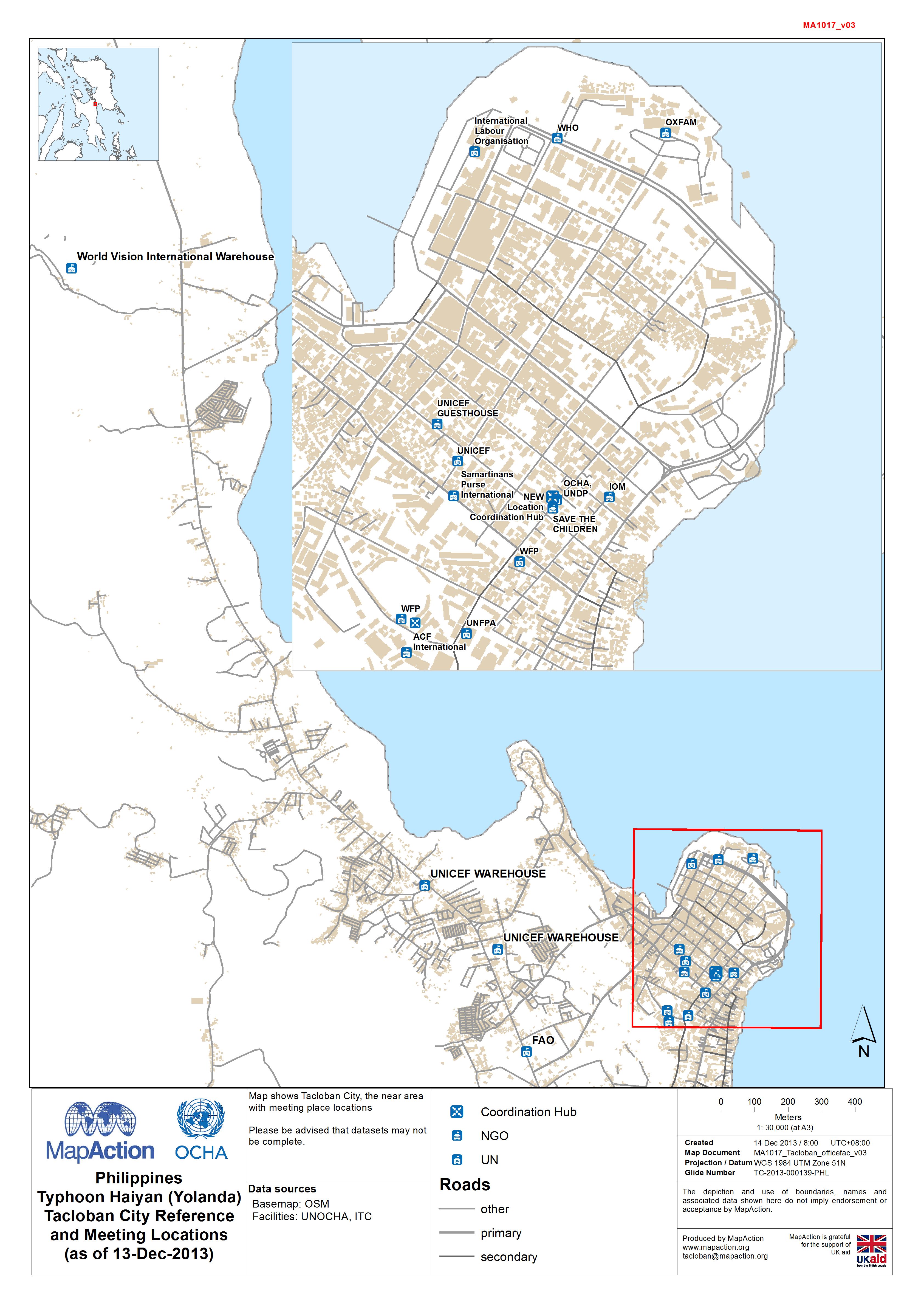
Philippines Typhoon Haiyan (Yolanda) Tacloban City Reference and Meeting Loca...
Map shows Tacloban City and surrounding area, with meeting place locations -
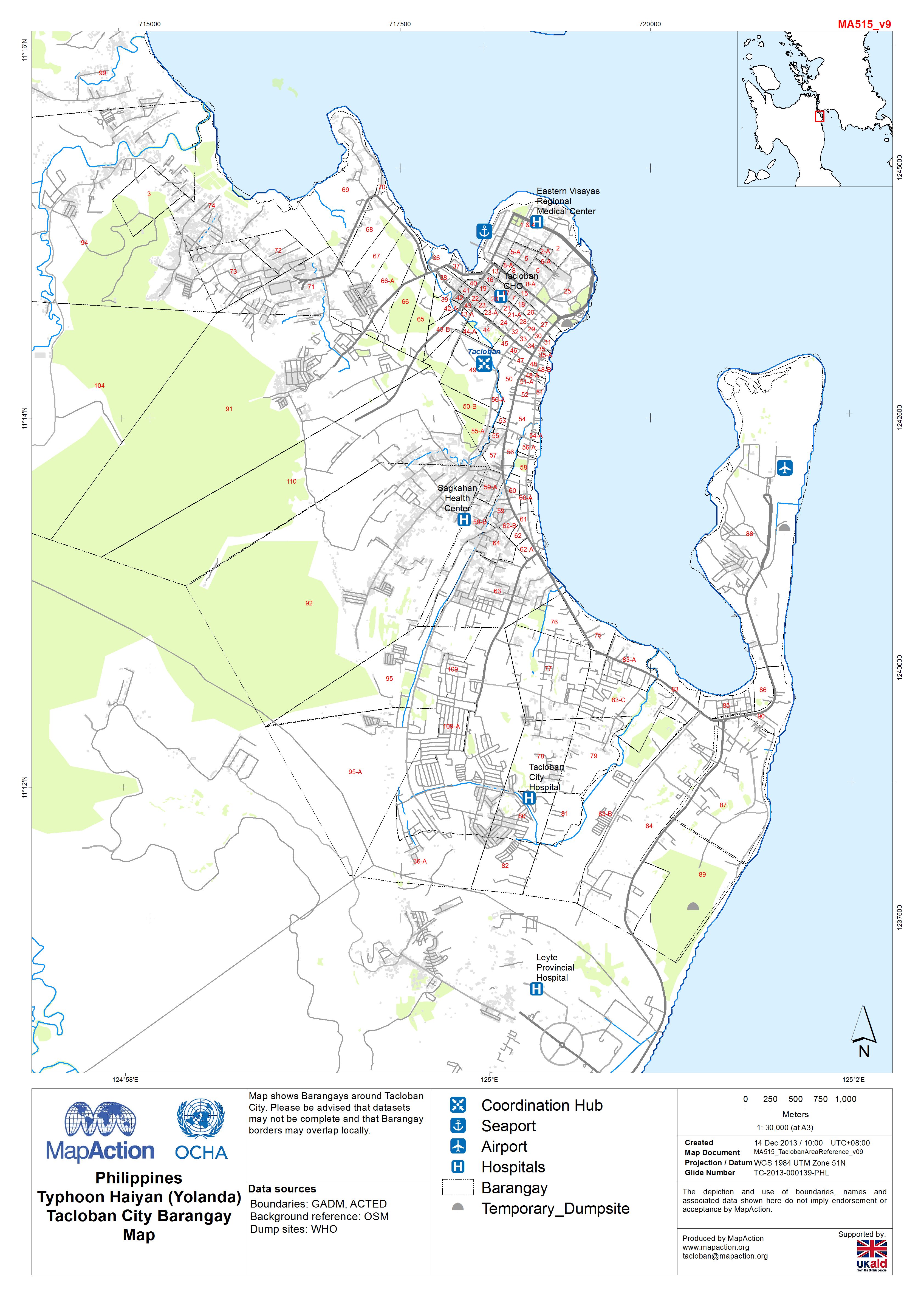
Philippines Typhoon Haiyan (Yolanda) Tacloban City Barangay Map
Map shows Barangays around Tacloban City. Please be advised that datasets may not be complete and that Barangay borders may overlap locally. -
PhilippinesTyphoon Haiyan (Yolanda):Barangay numbering in Tacloban CityMunici...
Map showing two different barangay numbering systems -
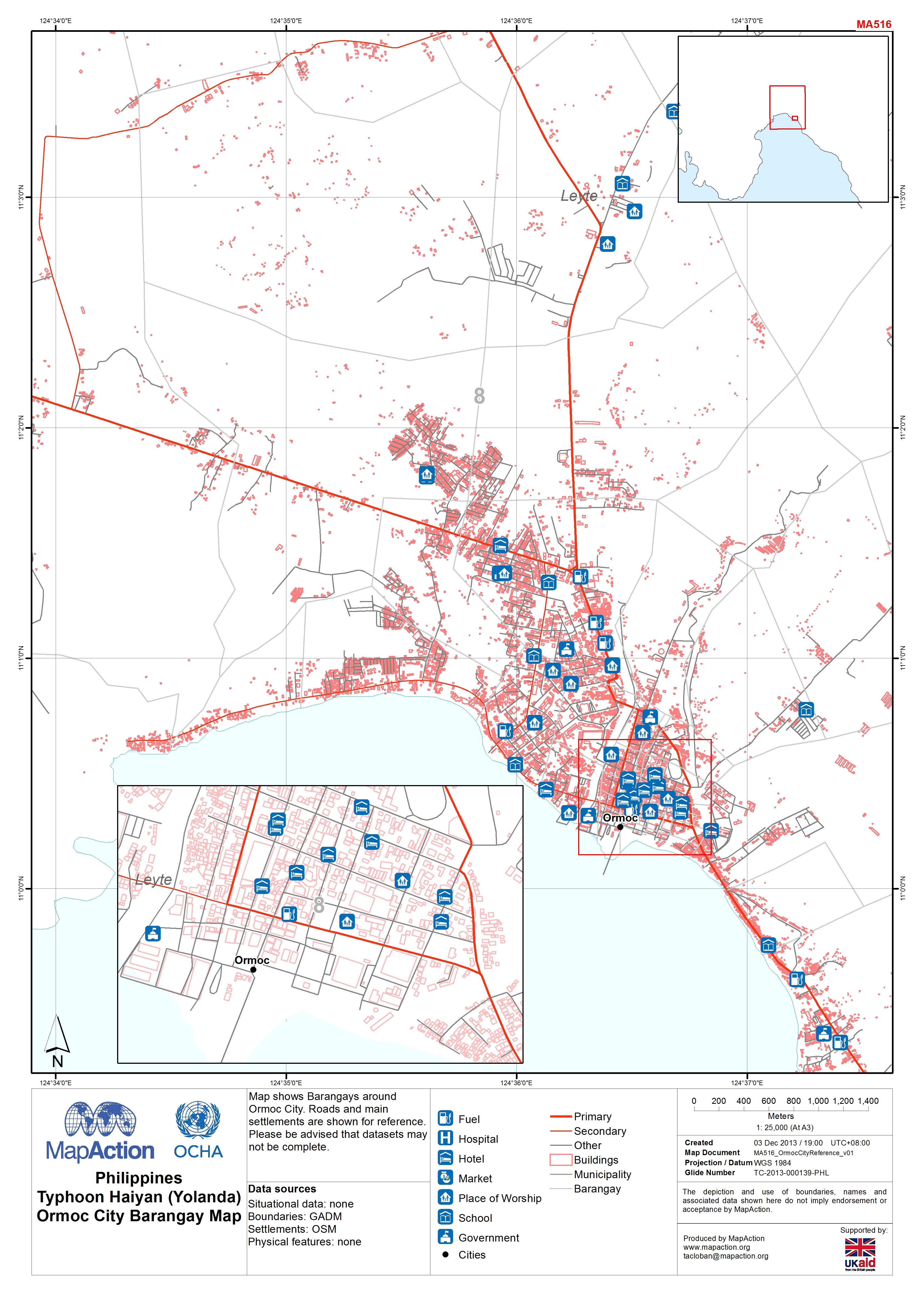
Philippines Typhoon Haiyan (Yolanda) Ormoc City Barangay Map
Map shows Barangays around Ormoc City. Roads and main settlements are shown for reference.Please be advised that datasets may not be complete.