MA001_LandslideOverview-300dpi.jpeg
From the dataset abstract
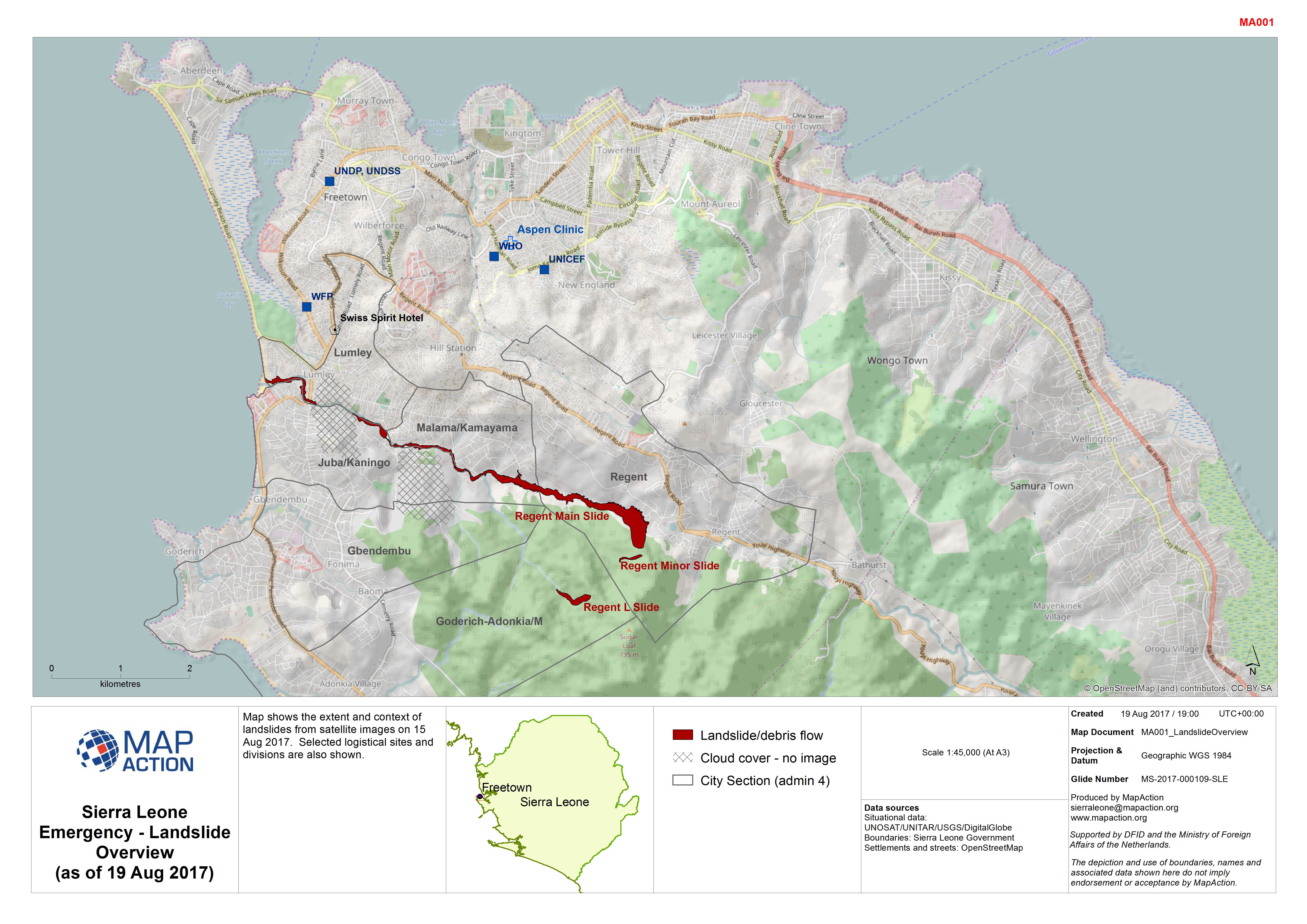
Map shows the extent and context of landslides from satellite images on 15 Aug 2017. Selected logistical sites and divisions are also shown.
Source: Sierra Leone Emergency - Landslide Overview (as of 19 Aug 2017)
Additional Information
| Field | Value |
|---|---|
| Data last updated | August 22, 2017 |
| Metadata last updated | August 22, 2017 |
| Created | August 22, 2017 |
| Format | JPEG |
| License | Creative Commons Attribution |
| Has views | True |
| Id | c1e8aa23-8db9-4d19-b5c4-107f13adc8a5 |
| On same domain | True |
| Package id | b992e561-5c37-4eda-89bd-aaab53647ddb |
| Revision id | 04702138-50f9-48ed-9ffb-b393cb0a7797 |
| State | active |
| Url type | upload |