MA033_Palu_Damage_Imagery-300dpi.jpeg
From the dataset abstract
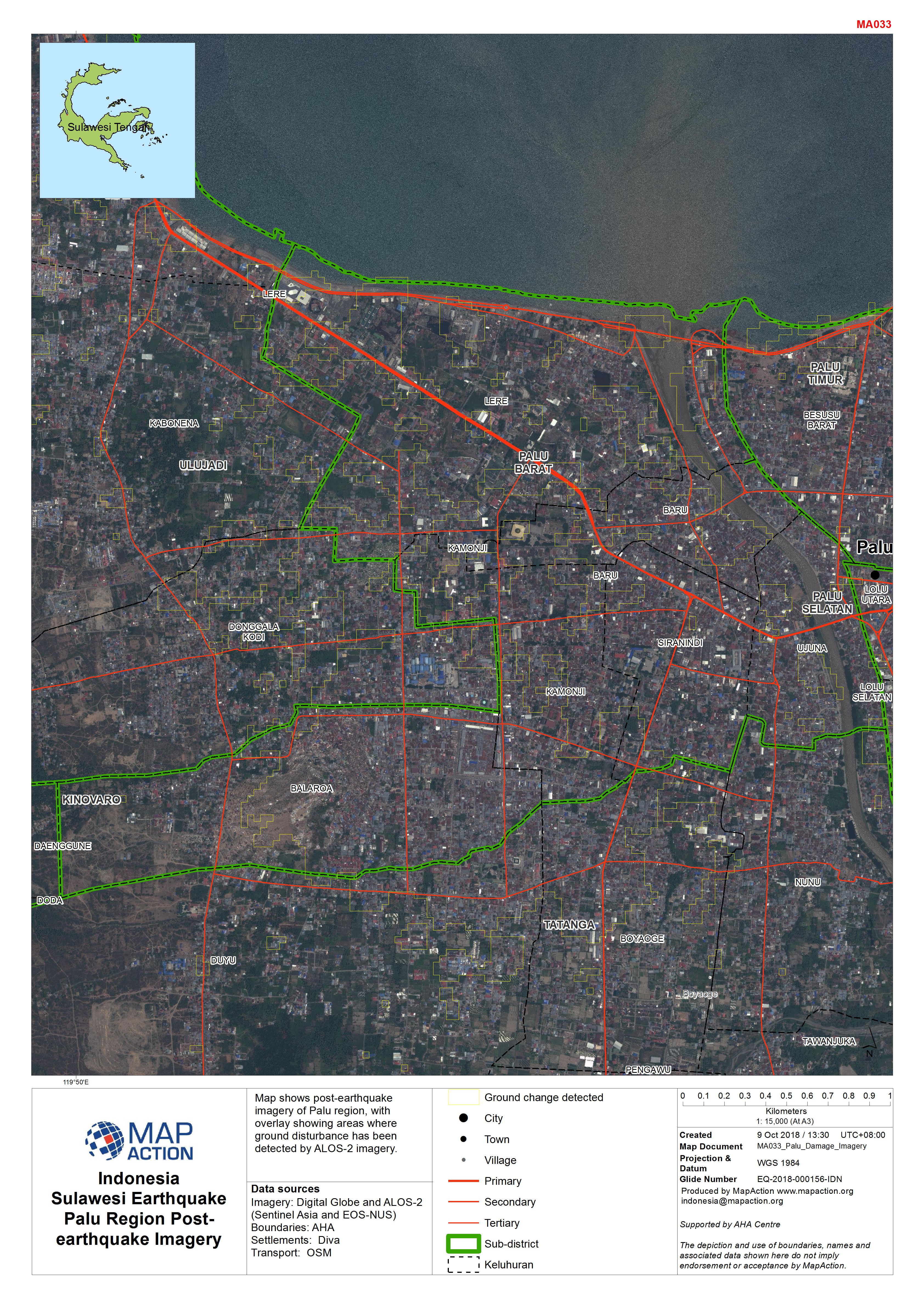
Map shows post-earthquake imagery of Palu region, with overlay showing areas where ground disturbance has been detected by ALOS-2 imagery.
Source: Indonesia Sulawesi Earthquake Palu Region Post-earthquake Imagery
Additional Information
| Field | Value |
|---|---|
| Data last updated | October 9, 2018 |
| Metadata last updated | October 9, 2018 |
| Created | October 9, 2018 |
| Format | JPEG |
| License | License not specified |
| Has views | True |
| Id | c2284f1c-1cce-41a2-b9f0-9be8c1f2c23b |
| On same domain | True |
| Package id | b1cc9203-f7ec-4ff7-889e-8706fe804bf3 |
| Revision id | 13100964-2358-46d7-b33a-8a5d95809f70 |
| State | active |
| Url type | upload |