MA525_TaclobanBarangaysAffected-300dpi.jpeg
From the dataset abstract
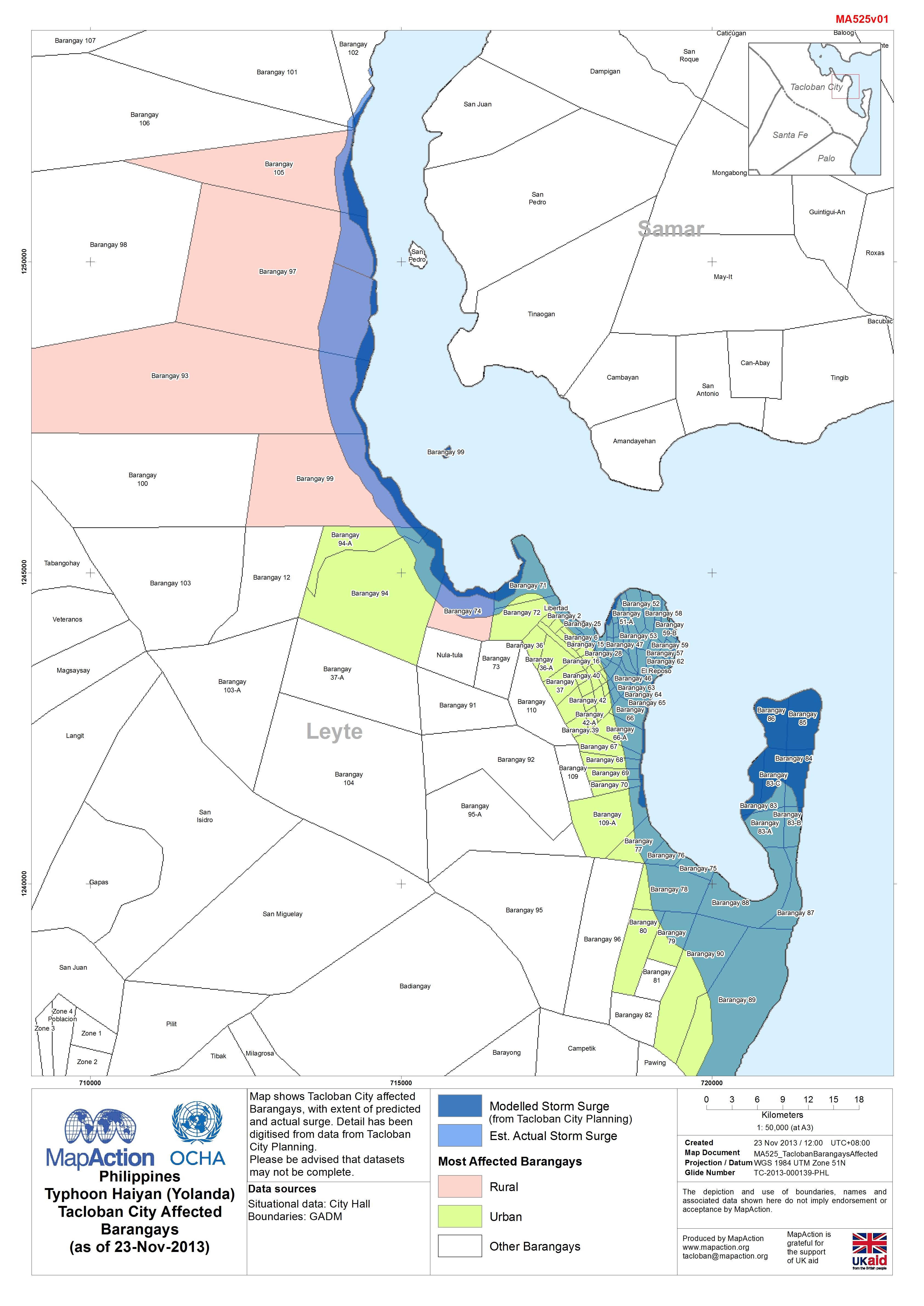
Map shows Tacloban City affected Barangays with extent of predicted and actual surge. Detail has been digitised from data from Taclobanand City Planning.
Source: Philippines Typhoon Haiyan (Yolanda) Tacloban City Affected Barangays (as of 23-Nov-2013)
Additional Information
| Field | Value |
|---|---|
| Data last updated | July 4, 2016 |
| Metadata last updated | July 4, 2016 |
| Created | July 4, 2016 |
| Format | JPEG |
| License | License not specified |
| Has views | True |
| Id | ab18fdeb-e241-4c9d-ac05-b6044658ff36 |
| On same domain | True |
| Package id | bfcdfd6a-7445-45f6-b9ec-9fd599f863c6 |
| Revision id | baefbf2b-067f-4d2e-a4f4-850da7c49b51 |
| State | active |
| Url type | upload |