MA013g_EvacuationCentresCebuBohol_v01-300dpi.jpeg
From the dataset abstract
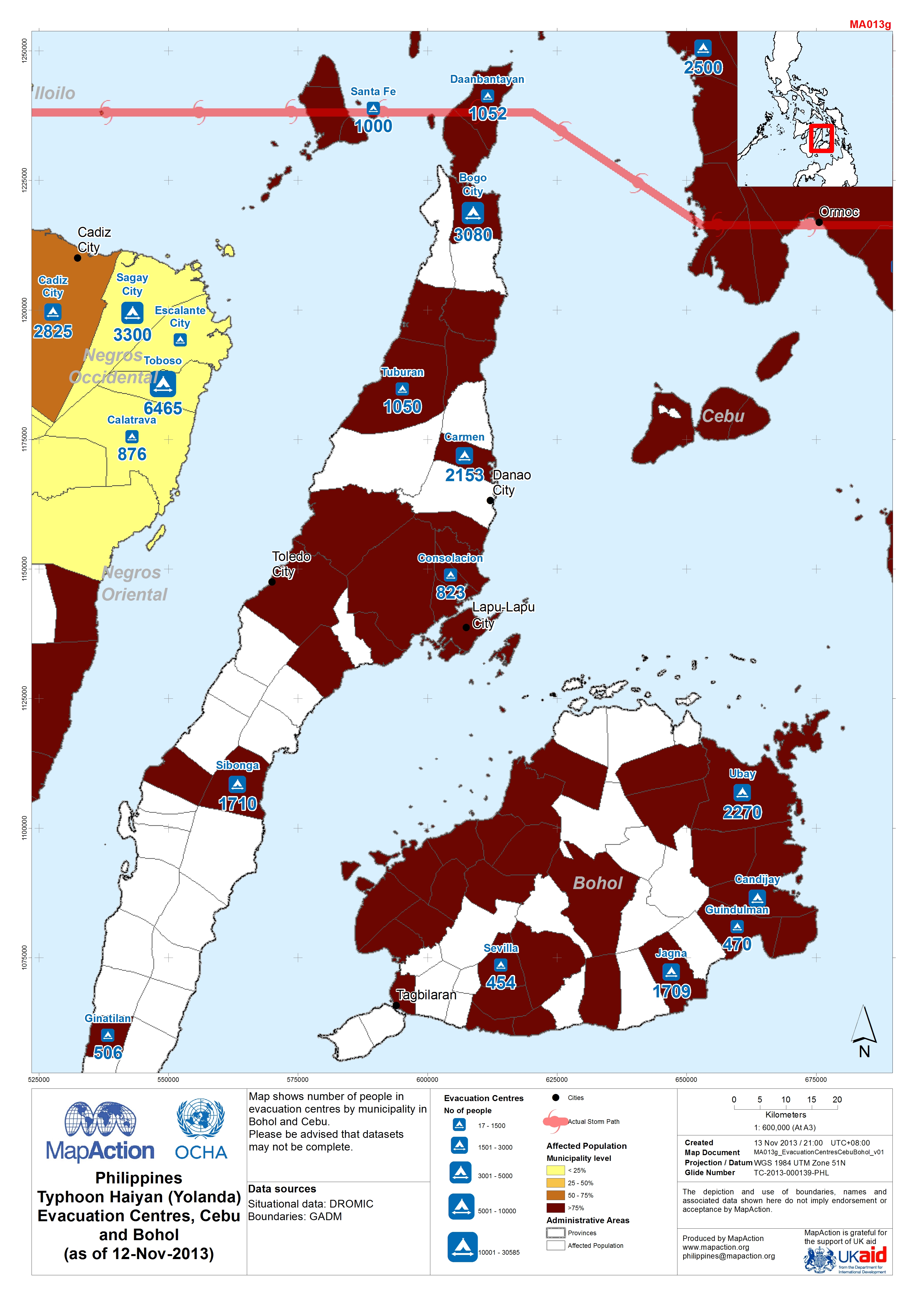
Map shows number of people in evacuation centres by municipality in Bohol and Cebu. Please be advised that datasets may not be complete.
Source: Philippines Typhoon Haiyan (Yolanda) Evacuation Centres in Cebu and Bohol (as of 12-Nov-2013)
Additional Information
| Field | Value |
|---|---|
| Data last updated | July 4, 2016 |
| Metadata last updated | July 4, 2016 |
| Created | July 4, 2016 |
| Format | JPEG |
| License | License not specified |
| Has views | True |
| Id | d8e630a3-9665-44d1-b226-8d5c164f47e2 |
| On same domain | True |
| Package id | 471a2737-a847-4e26-96e1-2d7f19af6a31 |
| Revision id | 67058f03-45ed-49aa-aa58-4131f36a7546 |
| State | active |
| Url type | upload |