MA002_Reference-Mali-A3-v2-300dpi.jpg
From the dataset abstract
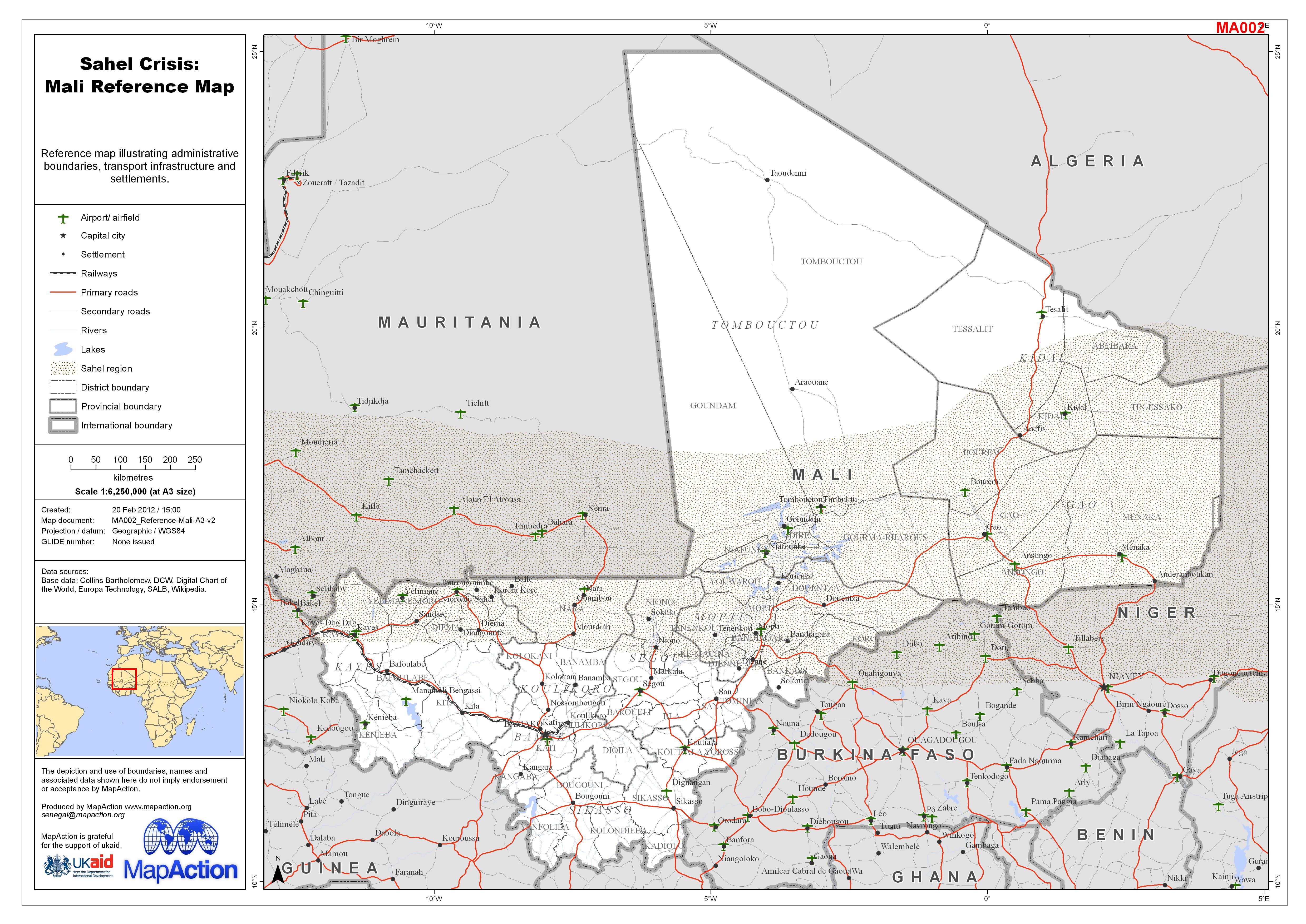
Reference map illustrating administrative boundaries, transport infrastructure and settlements.
Source: Sahel Crisis: Mali Reference Map
Additional Information
| Field | Value |
|---|---|
| Data last updated | July 4, 2016 |
| Metadata last updated | July 4, 2016 |
| Created | July 4, 2016 |
| Format | JPEG |
| License | License not specified |
| Has views | True |
| Id | 5142518f-0590-4914-8f84-8d5269a20046 |
| On same domain | True |
| Package id | c930556a-72c9-4b28-afbf-fac97151dc4b |
| Revision id | ebc372ee-a839-4370-b91b-cfa1a73dcc1d |
| State | active |
| Url type | upload |