2568.jpg
From the dataset abstract
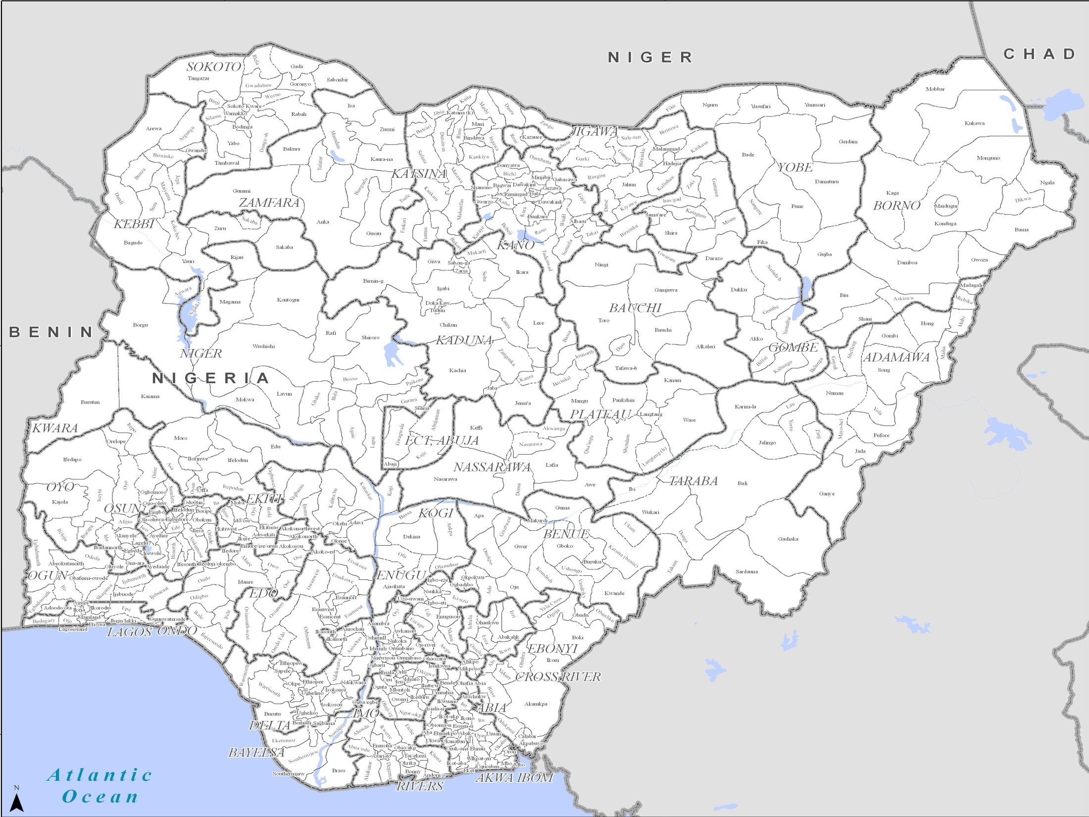
PowerPoint maps illustrating level 1 and level 2 administrative boundaries and transport links - click link to download - Sahel Crisis: PowerPoint Map Nigeria
Additional Information
| Field | Value |
|---|---|
| Data last updated | July 4, 2016 |
| Metadata last updated | July 4, 2016 |
| Created | July 4, 2016 |
| Format | JPEG |
| License | License not specified |
| Has views | True |
| Id | 276cc990-8182-4a0d-9f84-90db4f3b2444 |
| On same domain | True |
| Package id | acc47265-fc87-4357-84e2-3bf243fe7015 |
| Position | 1 |
| Revision id | 3ccf2df4-d008-4555-a065-b6e0dcae70df |
| State | active |
| Url type | upload |