-

Bor Satellite Map
This map is a work in progress. Please help us to improve it on www.openstreetmap.org or email corrections/additions to imusouth@un.org. -
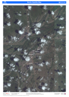
Bentiu Satellite Map
This map is a work in progress. Please help us to improve it on www.openstreetmap.org or email corrections/additions to imusouth@un.org. -
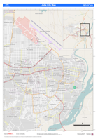
Juba City Map
This map is a work in progress. Please help us to improve it on www.openstreetmap.org or email corrections/additions to imusouth@un.org. -

Wau City Map
This map is a work in progress. Please help us to improve it on www.openstreetmap.org or email corrections/additions to imusouth@un.org. -

Torit City Map
This map is a work in progress. Please help us to improve it on www.openstreetmap.org or email corrections/additions to imusouth@un.org. -

Rumbek City Map
This map is a work in progress. Please help us to improve it on www.openstreetmap.org or email corrections/additions to imusouth@un.org. -

Bor City Map
This map is a work in progress. Please help us to improve it on www.openstreetmap.org or email corrections/additions to imusouth@un.org. -

Bentiu City Map
This map is a work in progress. Please help us to improve it on www.openstreetmap.org or email corrections/additions to imusouth@un.org. -

Malakal City Map
This map is a work in progress. Please help us to improve it on www.openstreetmap.org or email corrections/additions to imusouth@un.org. -
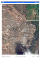
Juba Satellite Map
Juba Satellite Map This map is a work in progress. Please help us to improve it on www.openstreetmap.org or email corrections/additions to imusouth@un.org. -
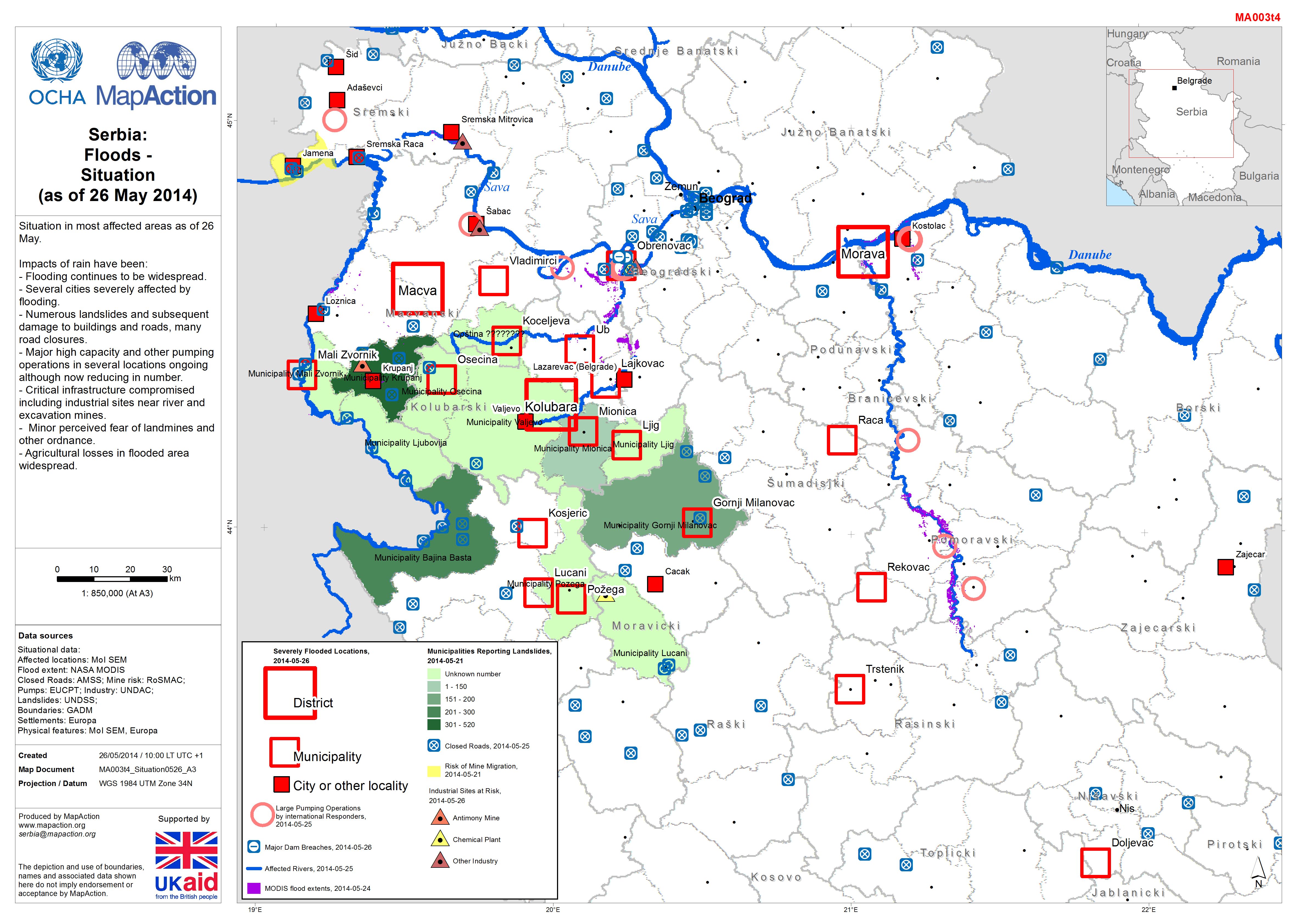
Serbia: Floods - Situation (as of 28 May 2014)
Situation in most affected areas as of 28 May: * Emergency situation remains in 2 cities and 14 municipalities. * Stagnation is expected on the Rivers Danube and Saya. * Floods... -

Serbia: Floods - Situation(as of 28 May 2014)
Situation in most affected areas as of 28 May: Stagnation is expected on the Rivers Danube and Sava. Several cities and municipalitues continue to be severly affected. Critical... -

Serbia: Floods - UNDAC Assessment of Logistics Capacity, 26 May 2014
UNDAC logistics capacity assessment mission, conducted 26/5/14. Refer to assessment report for results and full details. Route: Belgrade - Kolari - Pozarevac - Petrovac - Velika... -

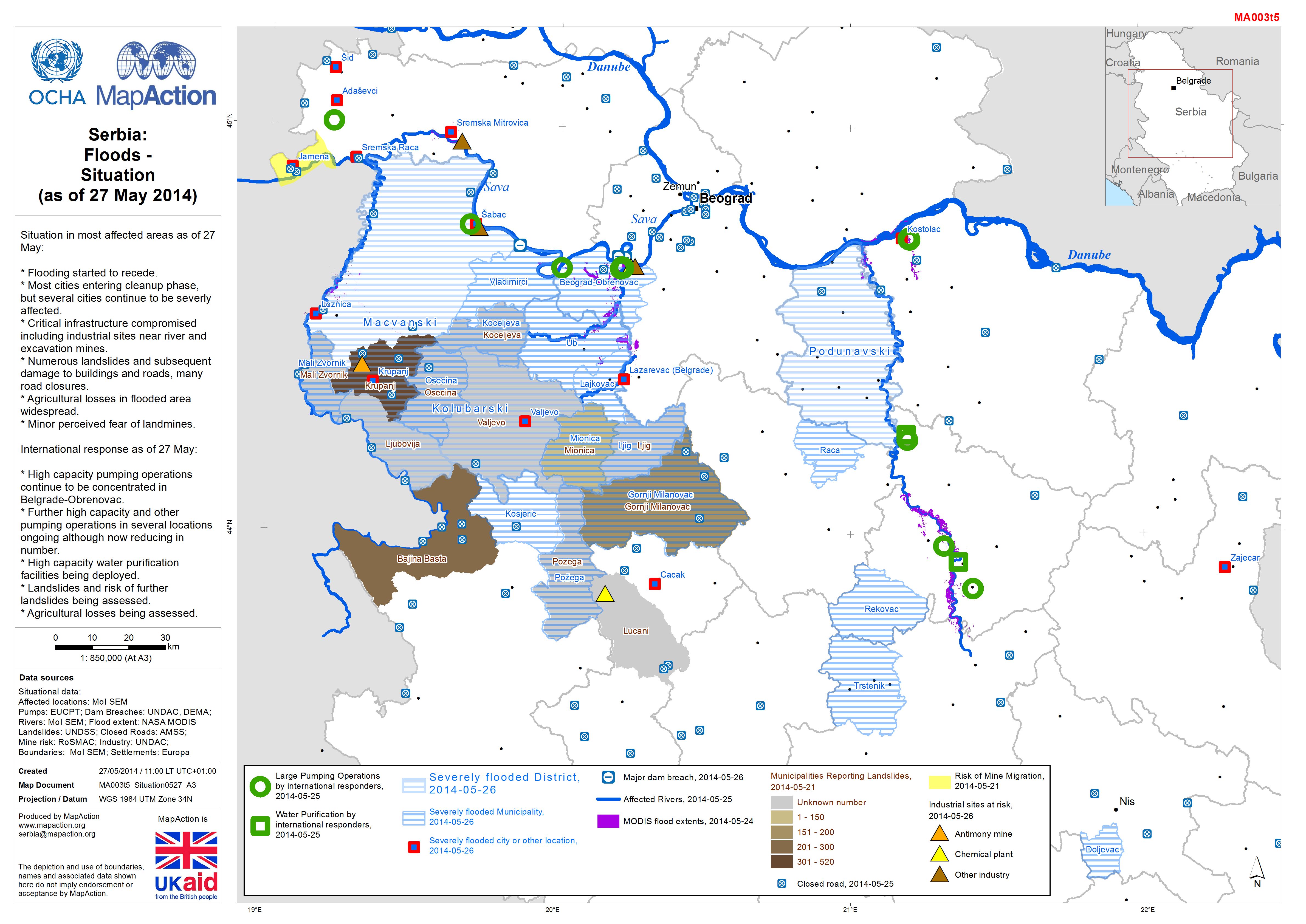
Serbia:Floods -Situation(as of 27 May 2014)
Situation in most affected areas as of 27 May: Flooding started to recede. Most cities entering cleanup phase, but several cities continue to be severly affected. Critical... -

Serbia: Floods - Obrenovac Major Breach Locations (as of 26 May 2014)
Map shows elevation in the areas of Bradarac, Bubusinac, and Maljurevac, showing levees. -
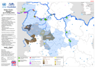
Serbia: Floods - Affected Roma Communities (as of 26rd May)
Situation of Roma communities in municipalities affected by flooding. -

Serbia:Floods -ObrenovacMajor Breach Locations(as of 26 May 2014)
Levee Breaches near Obrenovac reported on 26 May. -
Serbia: Floods - Government Food and Drinking Water Distribution Areas (as of...
Map shows municipalities, districts and cities where the Government of Serbia are reporting delivery of food and water compared to reports of most seriously affected food... -

-

Serbia:Floods -Generalized Geology in LandslideZones
Map showing generalized geological information for Serbia and Bosnia and Herzegovina.