-
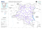
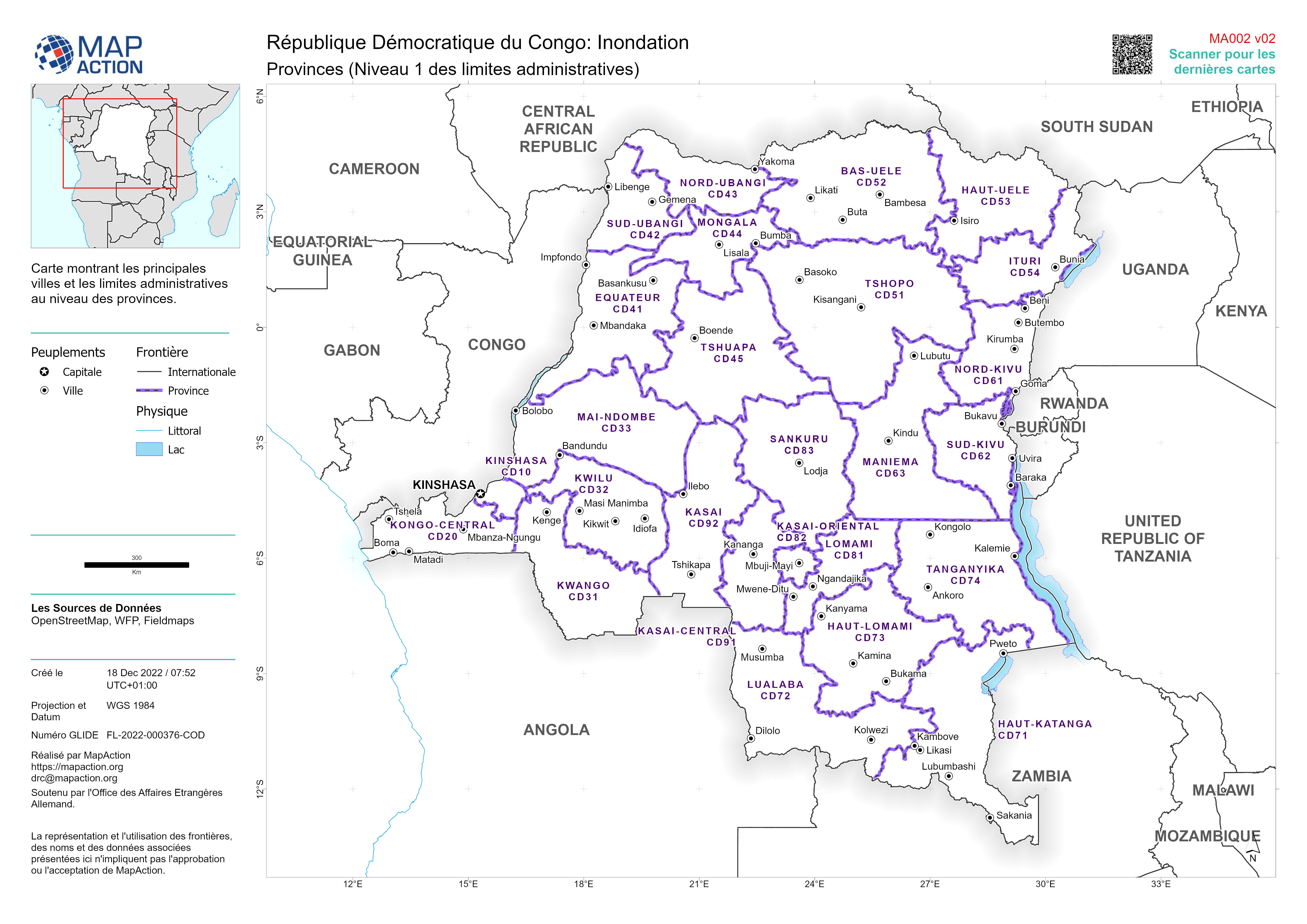
Provinces (Niveau 1 des limites administratives)
Carte montrant les principales villes et les limites administratives au niveau des provinces. -

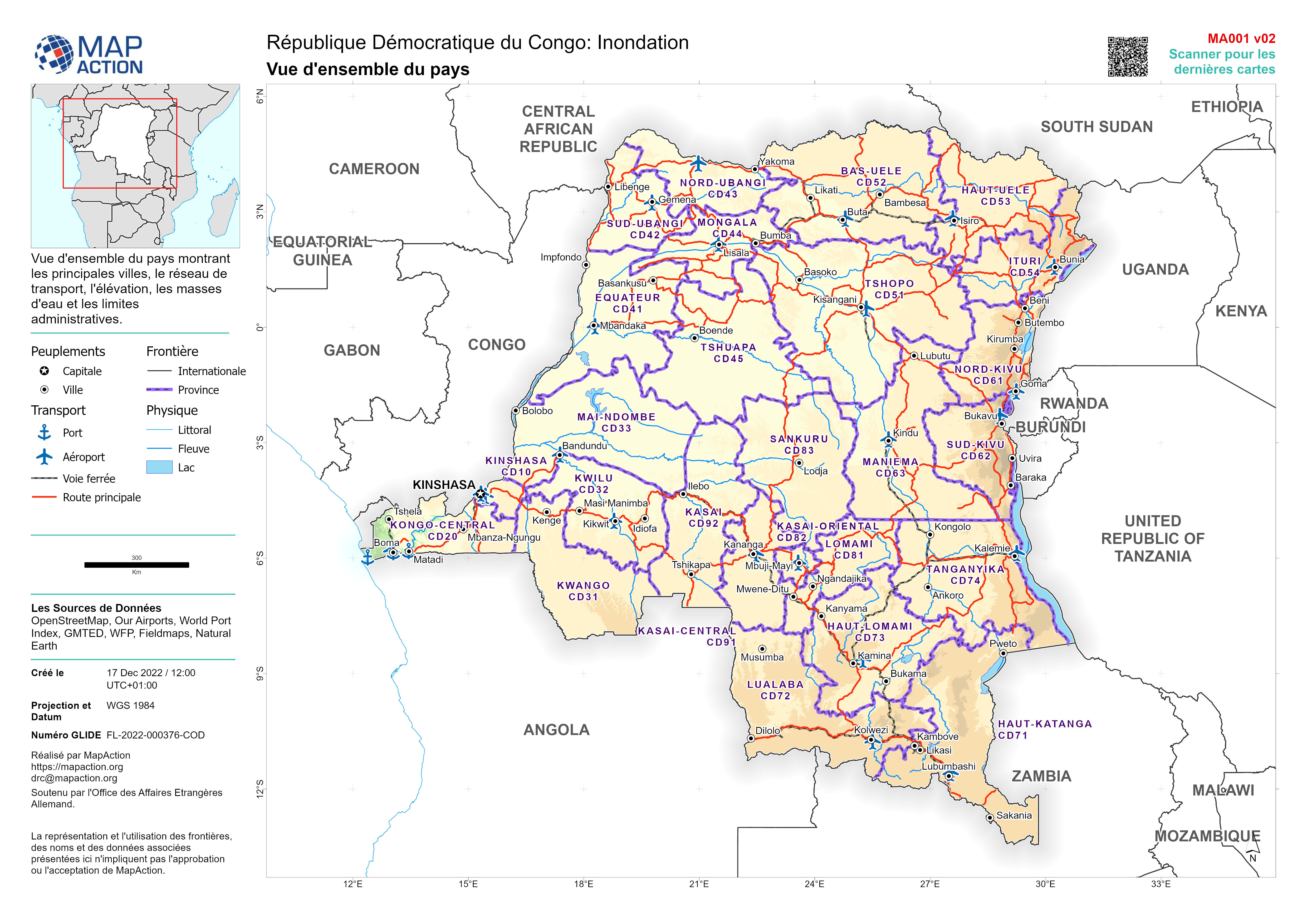
Vue d'ensemble du pays
Vue d'ensemble du pays montrant les principales villes, le réseau de transport, l'élévation, les masses d'eau et les limites administratives. -
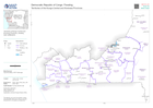
Territories of the Kongo-Central and Kinshasa Provinces
Territories of Kongo-Central and Kinshasa Provinces, showing main settlements. -
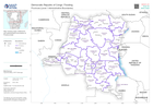
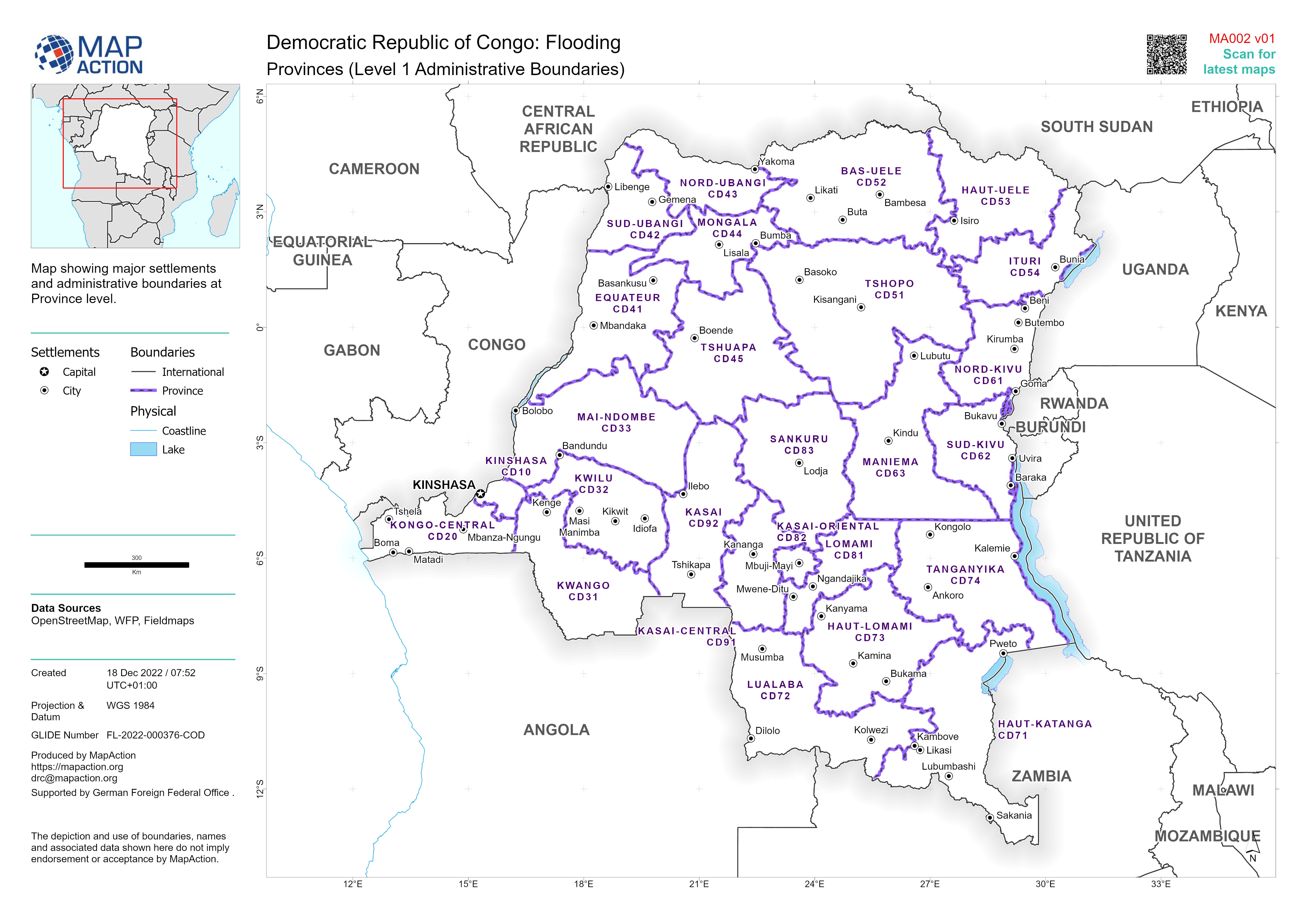
Provinces of DRC (Level 1 Administrative Boundaries)
Map showing major settlements and administrative boundaries at Province level. -

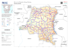
Overview of Kongo-Central and Kinshasa Provinces
Overview of Kongo-Central and Kinshasa Provinces showing main settlements, transport links, elevation, water features and administrative boundaries -
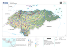
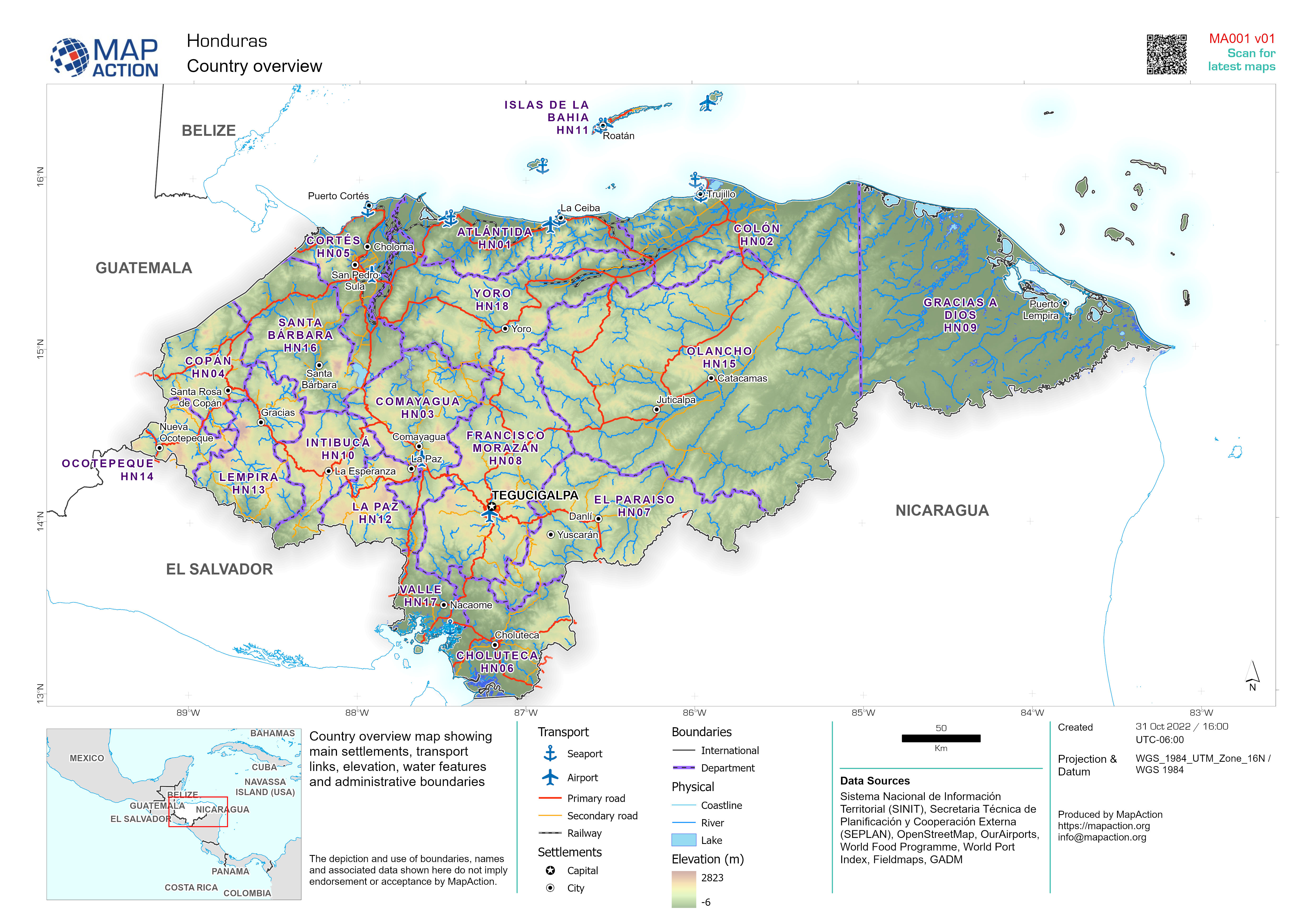
Country overview
Country overview map showing main settlements, transport links, elevation, water features and administrative boundaries -

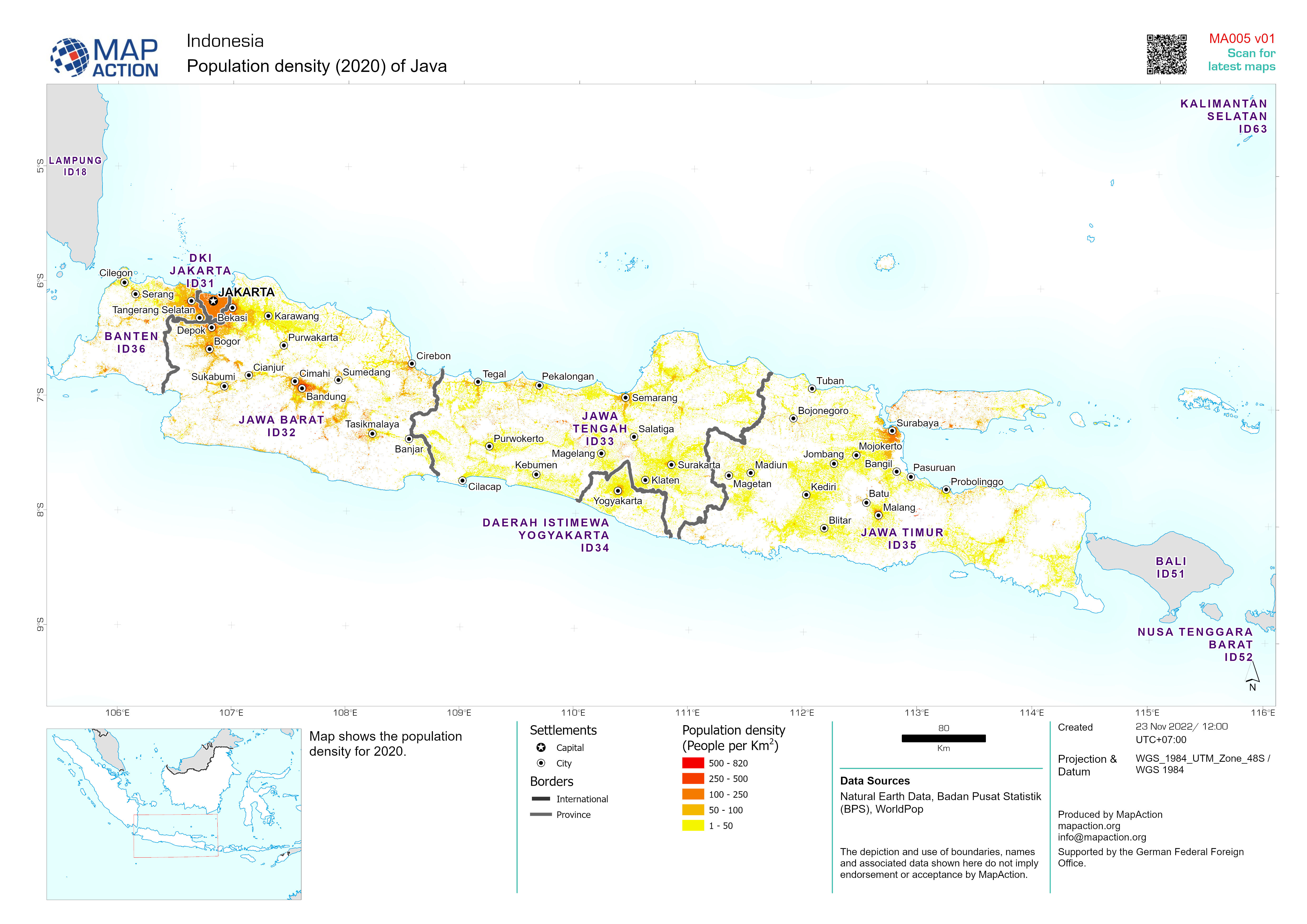
Population density of Java (2020)
Population density of Java, Indonesia based upon 2020 Worldpop estimates -

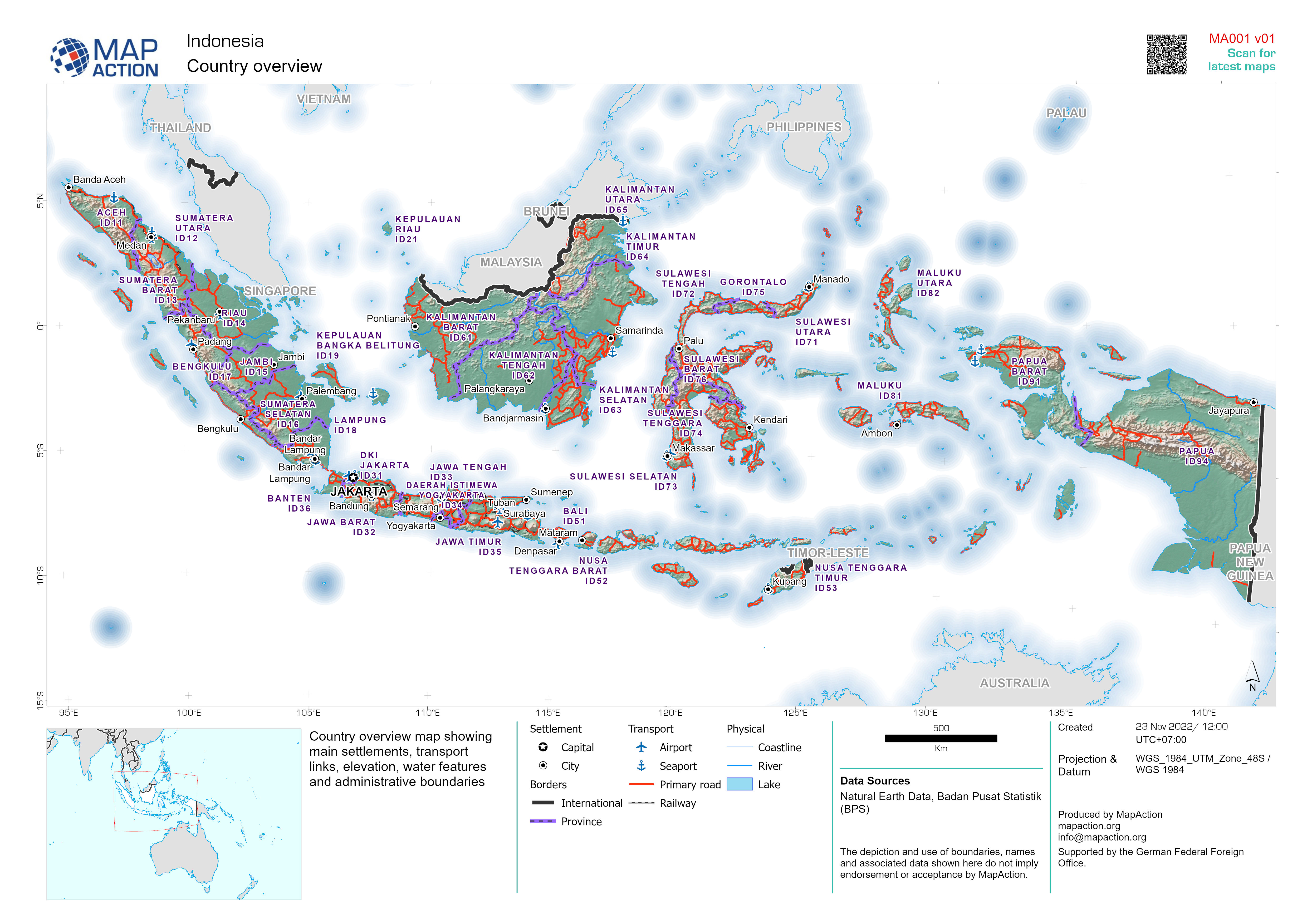
Country overview of Indonesia
Country overview map showing main cities, transport infrastructure and natural features -

Pakistan Floods: Sindh Province - Flood Impact Profile - 21 August 2010
This dataset has no description
-

Country overview map of Belize
Country overview map showing main settlements, transport links, elevation, water features and administrative boundaries -

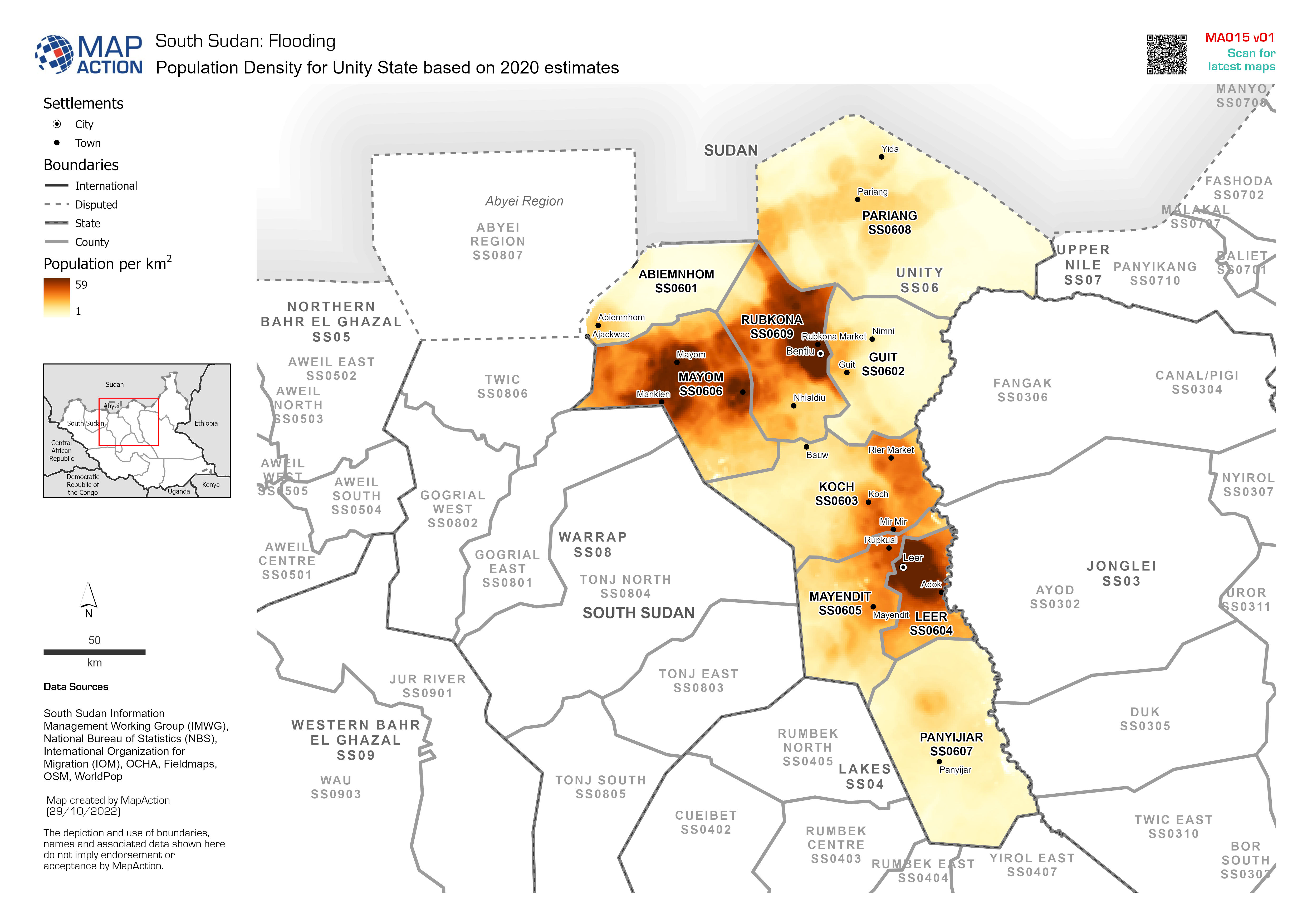
Population Density for Unity State based on 2020 estimates
Example: Map shows the extent of known flooding from satellite images on 1 Jan 2012. -

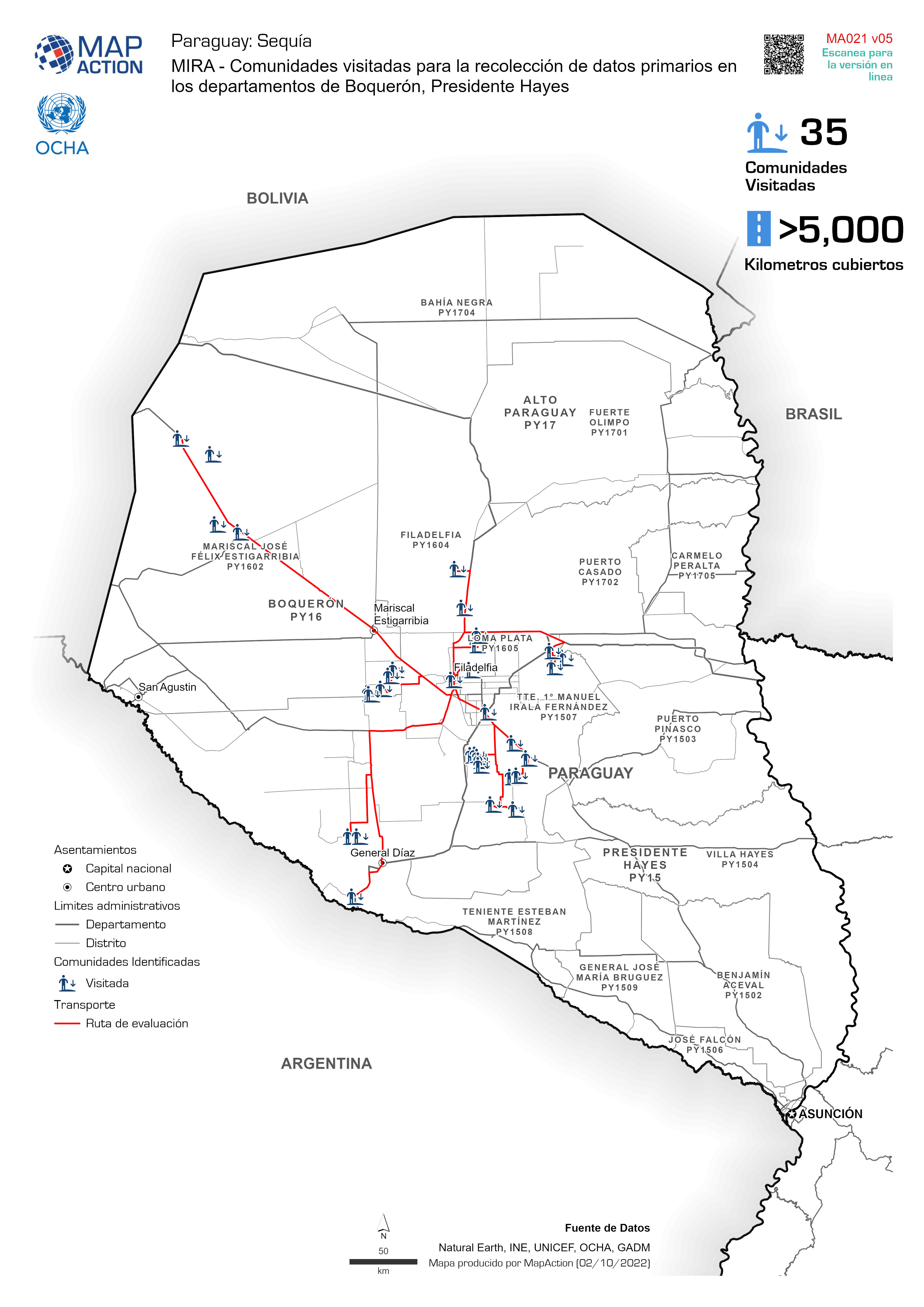
MIRA - Comunidades visitadas para la recolección de datos primarios en los de...
MIRA - Comunidades identificadas para la recolección de datos primarios en los departamentos de Boquerón, Presidente Hayes -

Categorías de Sequía (US Drought Monitor) 26 Junio 2022 al 25 Septiembre 2022
MIRA - Comunidades identificadas para la recolección de datos primarios en los departamentos de Boquerón, Presidente Hayes -

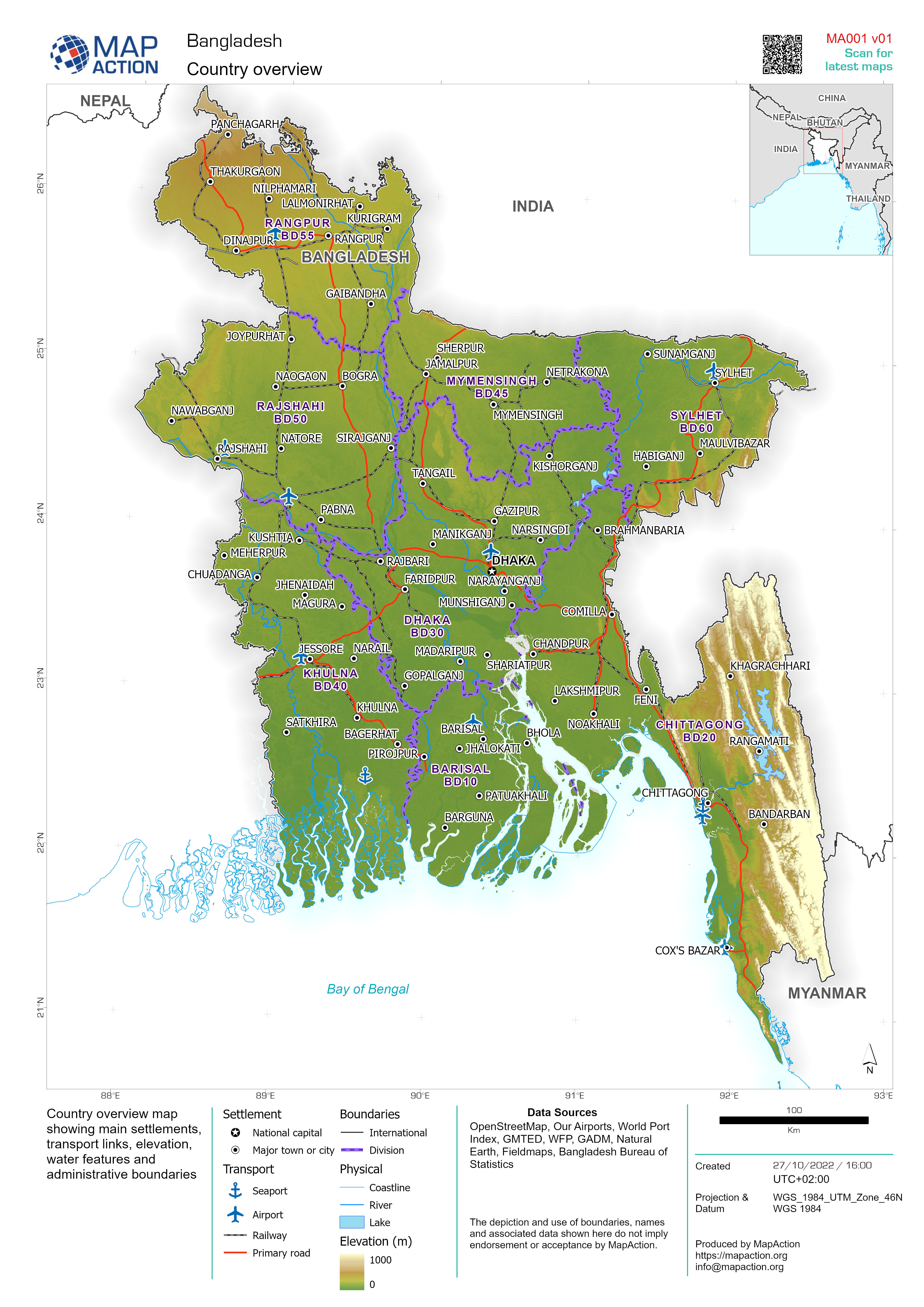
Bangladesh country overview 2022
Country overview map showing main settlements, transport links, elevation, water features and administrative boundaries -
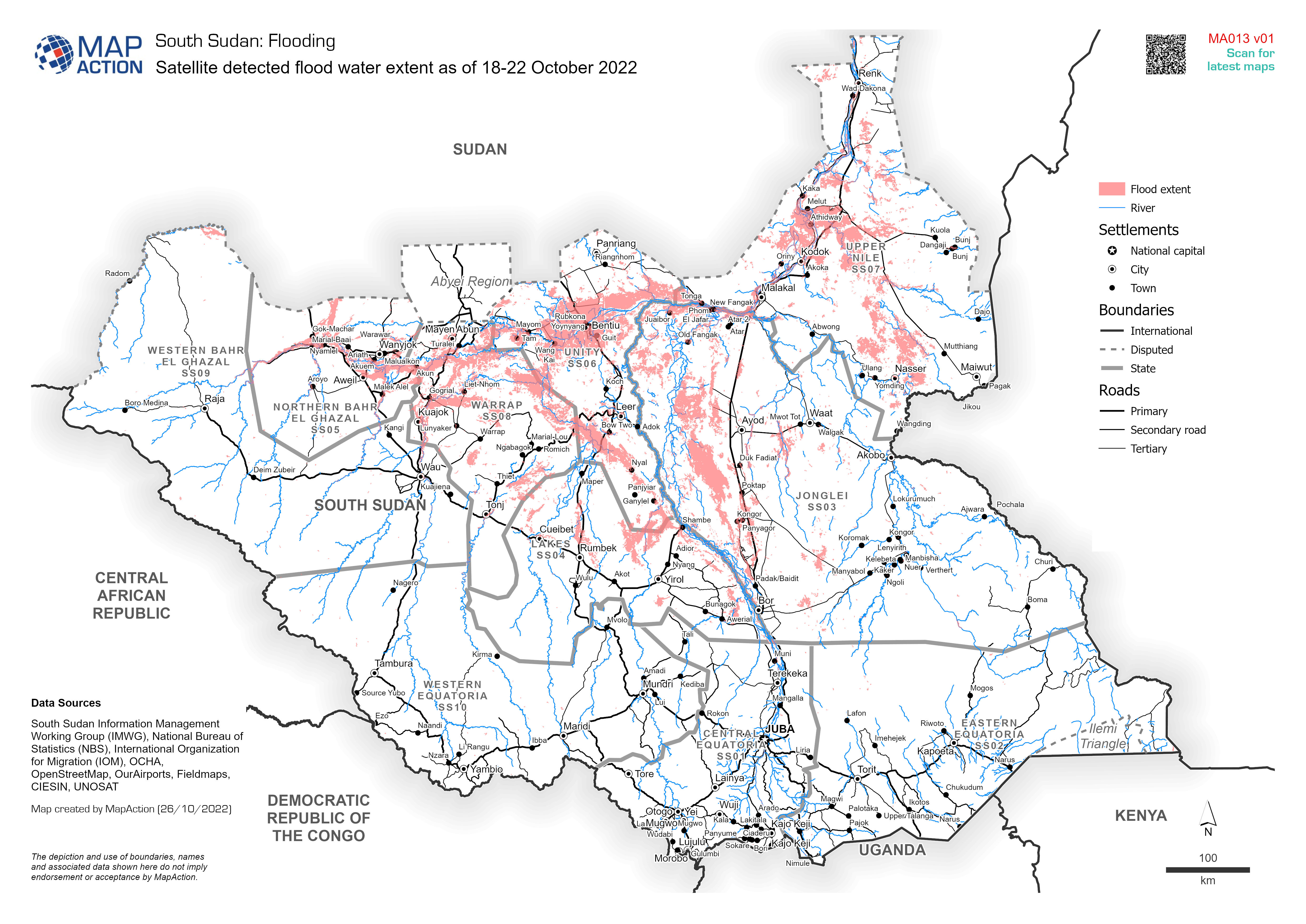
Satellite detected flood water extent as of 18-22 October 2022
Satellite detected flood water extent as of 18-22 October 2022, based on UNOSAT data -

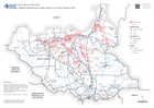
State boundaries of South Sudan
State boundaries (administrative level 1) with pcodes and main settlements of South Sudan -
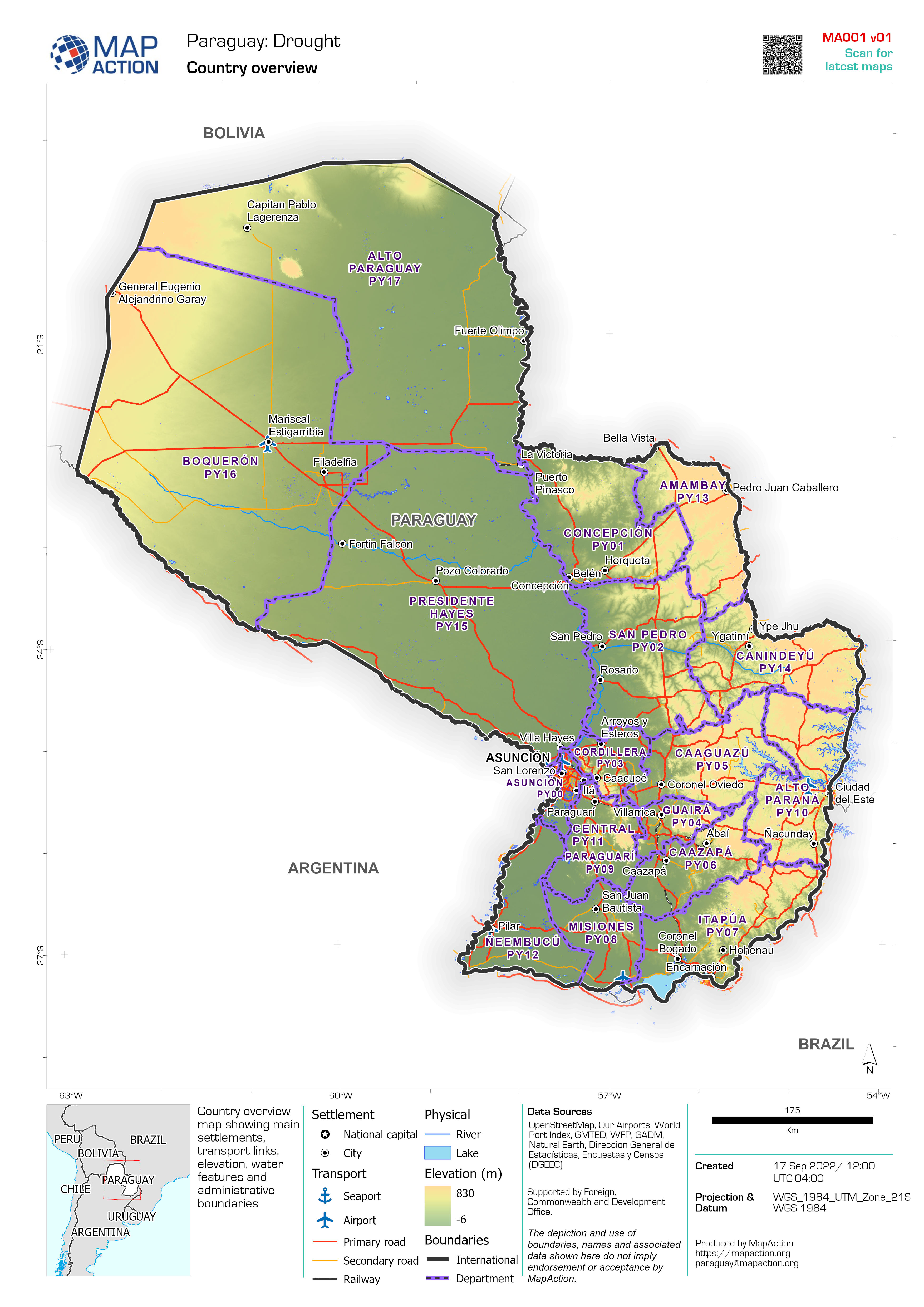
Country overview
Country overview map showing main settlements, transport links, elevation, water features and administrative boundaries -

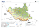
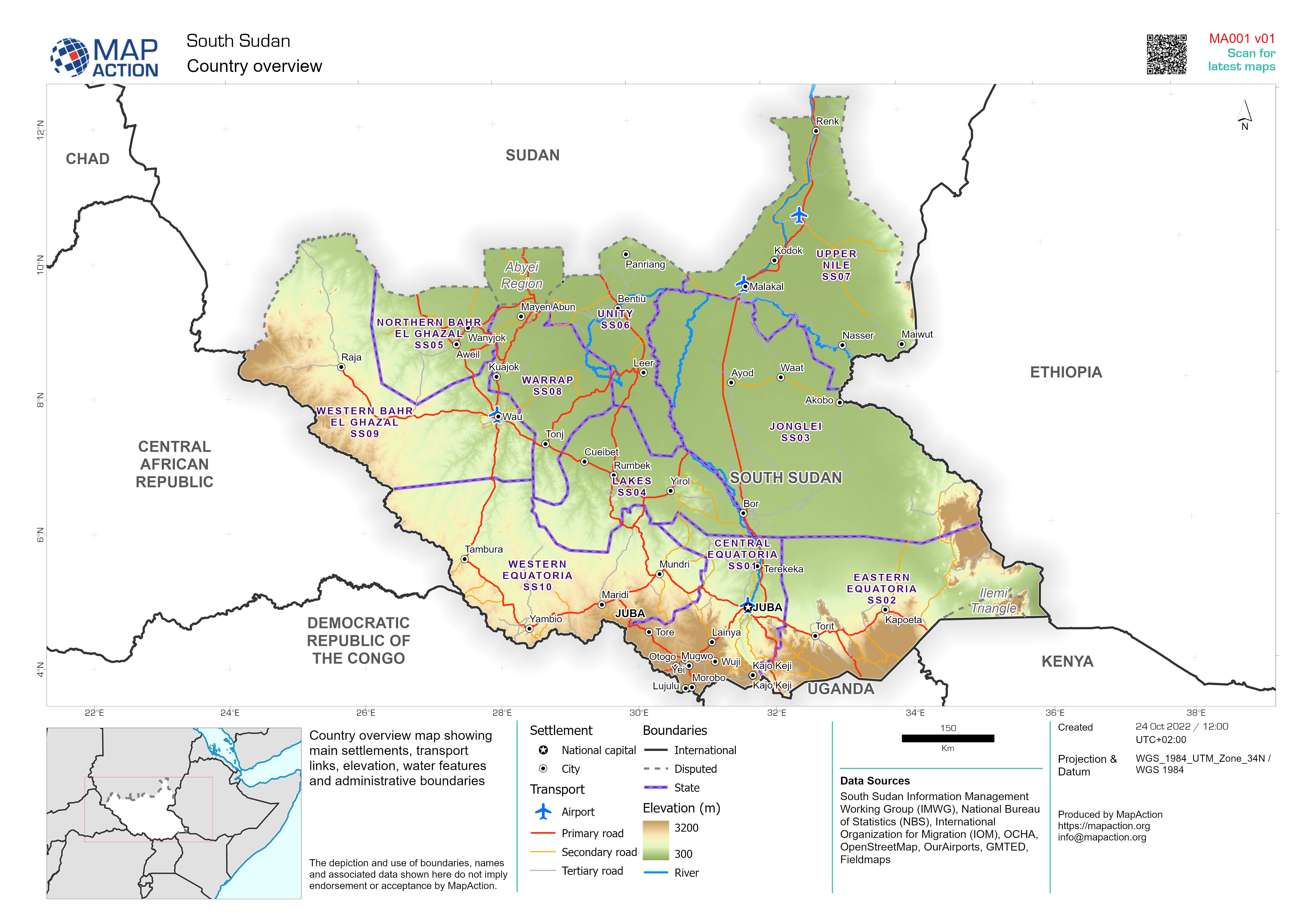
South Sudan Country Overview
Country overview map showing main settlements, transport links, elevation, water features and administrative boundaries -

Country overview
Country overview map showing main settlements, transport links, elevation, water features and administrative boundaries