-
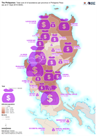
The Philippines: Total cost of of assistance per province in Philippine Peso ...
Map shows the estimated cost of assistance per province in response to Typhoon Mangkhut. -
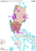
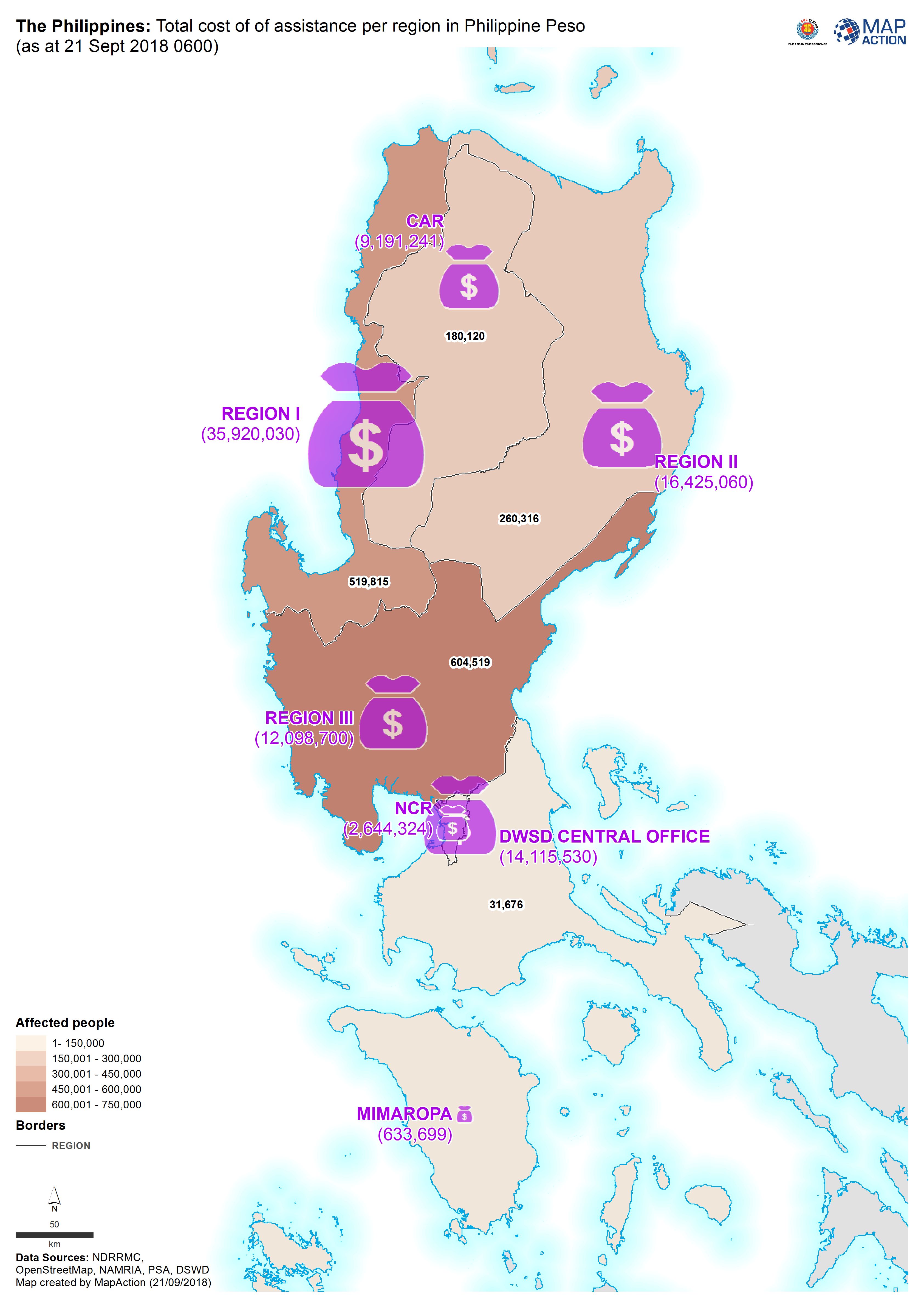
The Philippines: Total cost of of assistance per region in Philippine Peso (a...
Map shows the estimated cost of assistance per region in response to Typhoon Mangkhut. -
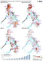
The Philippines: Stockpiles per region in Philippine Peso (as at 20 Sept 2018...
The DSWD Central Office (CO), concerned Field Offices (FOs), and National Resource Operations Center (NROC) have stockpiles and standby funds amounting to ₱1,579,599,449.33 with... -

Reference map atlas of Lombok, Indonesia
A series of 1:75,000 reference maps covering the island of Lombok, Indonesia. -

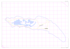
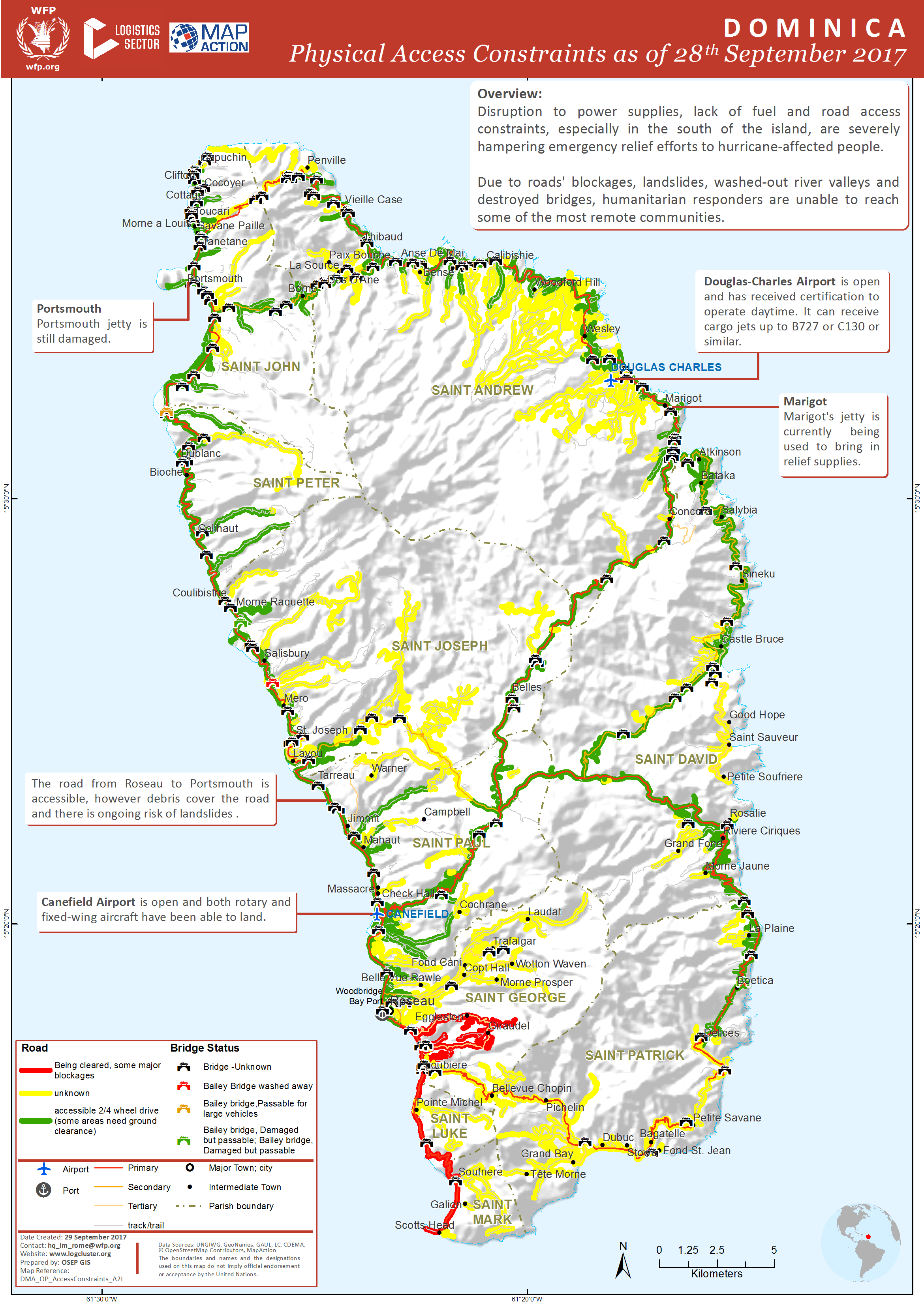
Dominica: Physical Access Constraints as of 28th September 2017
Physical access constraints as of 28th September 2017. This map will be updated frequently as more roads are cleared. -
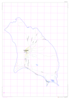
DOMINICA: food and water distributions (as of 26 September 2017)
Map of Dominica showing food and water distributions. -
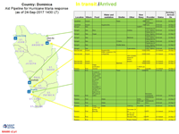
Aid Pipeline for Hurricane Maria response (as of 24-Sep-2017 1430)
Map shows what aid supplies are in the pipeline for delivery and what has been delivered -
OpenStreetMap of Saint Martin
Reference map of Saint Martin using Open Street Mapping provided by milvusmap.eu -
OpenStreetMap of Saint Barts
Reference map of Saint Barts using Open Street Mapping provided by milvusmap.eu -
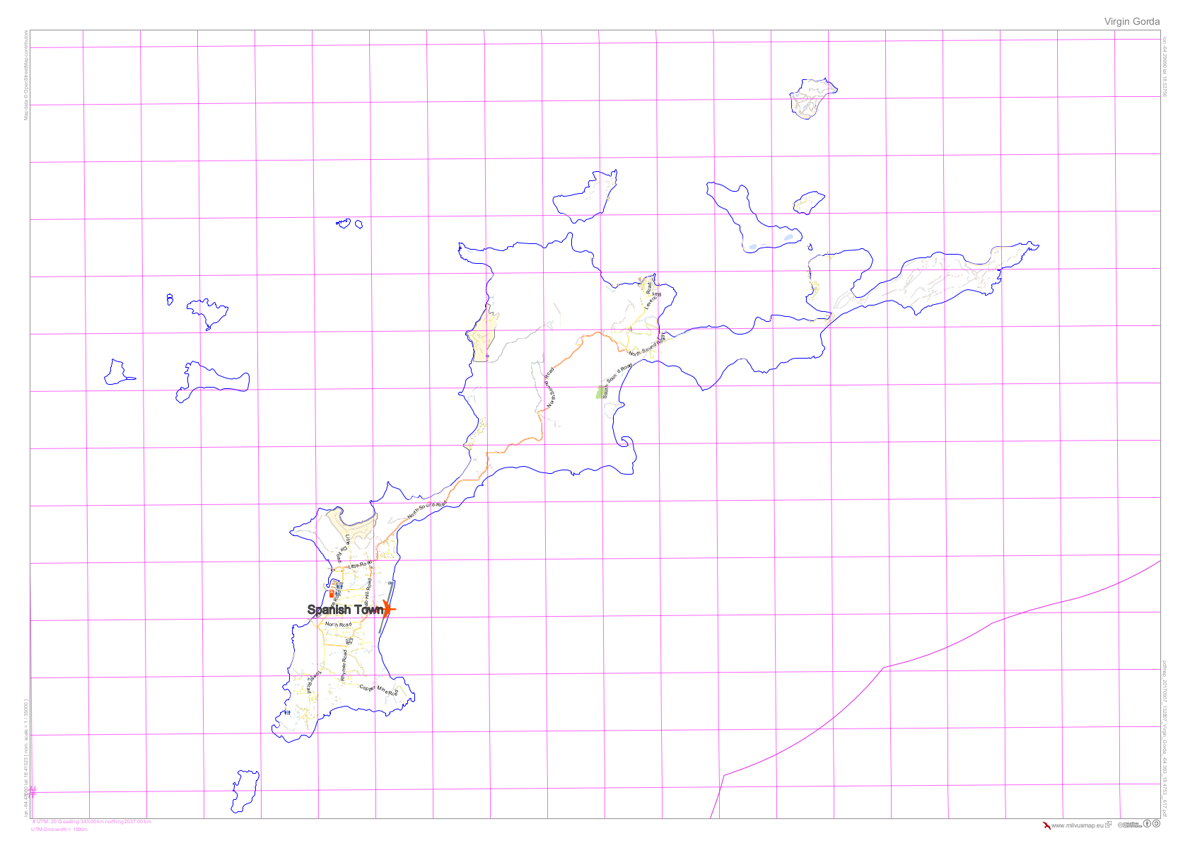
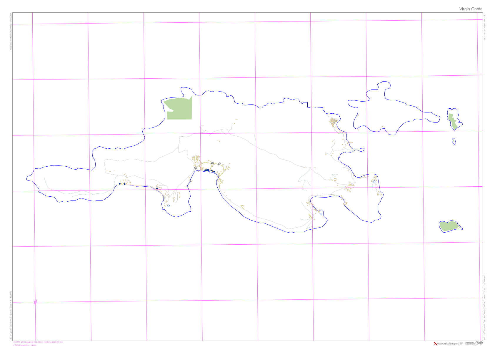
OpenStreetMap of Virgin Gorda (British Virgin Islands)
Reference map of Virgin Gorda (British Virgin Islands) using Open Street Mapping provided by milvusmap.eu -

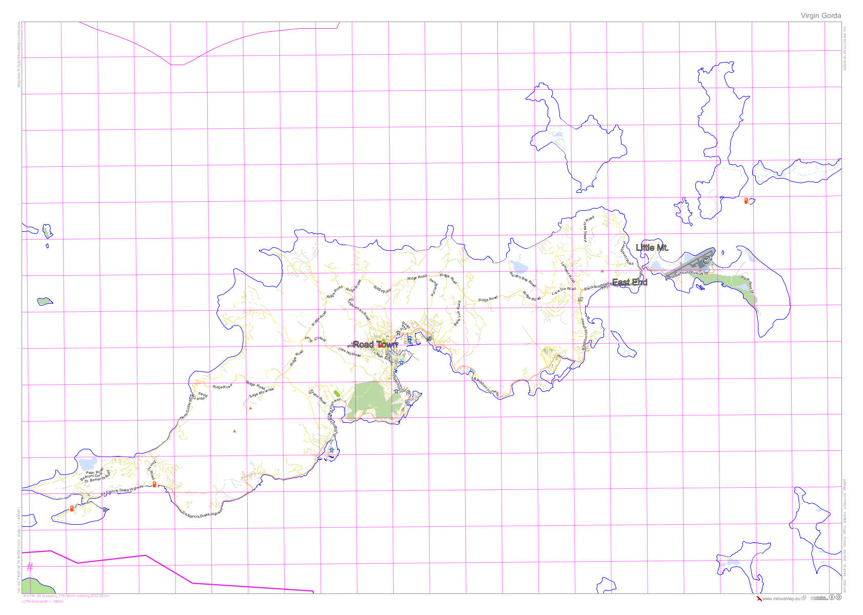
OpenStreetMap of Tortola (British Virgin Islands)
Reference map of Tortola (British Virgin Islands) using Open Street Mapping provided by milvusmap.eu -

OpenStreetMap of Jost Van Dyke (British Virgin Islands)
Reference map of Jost Van Dyke (British Virgin Islands) using Open Street Mapping provided by milvusmap.eu -
OpenStreetMap of Anegada (British Virgin Islands)
Reference map of Anegada (British Virgin Islands) using Open Street Mapping provided by milvusmap.eu -
OpenStreetMap of Barbuda
Reference map of Barbuda using Open Street Mapping provided by milvusmap.eu -
OpenStreetMap of Antigua
Reference map of Antigua using Open Street Mapping provided by milvusmap.eu -

OpenStreetMap of Anguilla
Reference map of Anguilla using Open Street Mapping provided by milvusmap.eu -

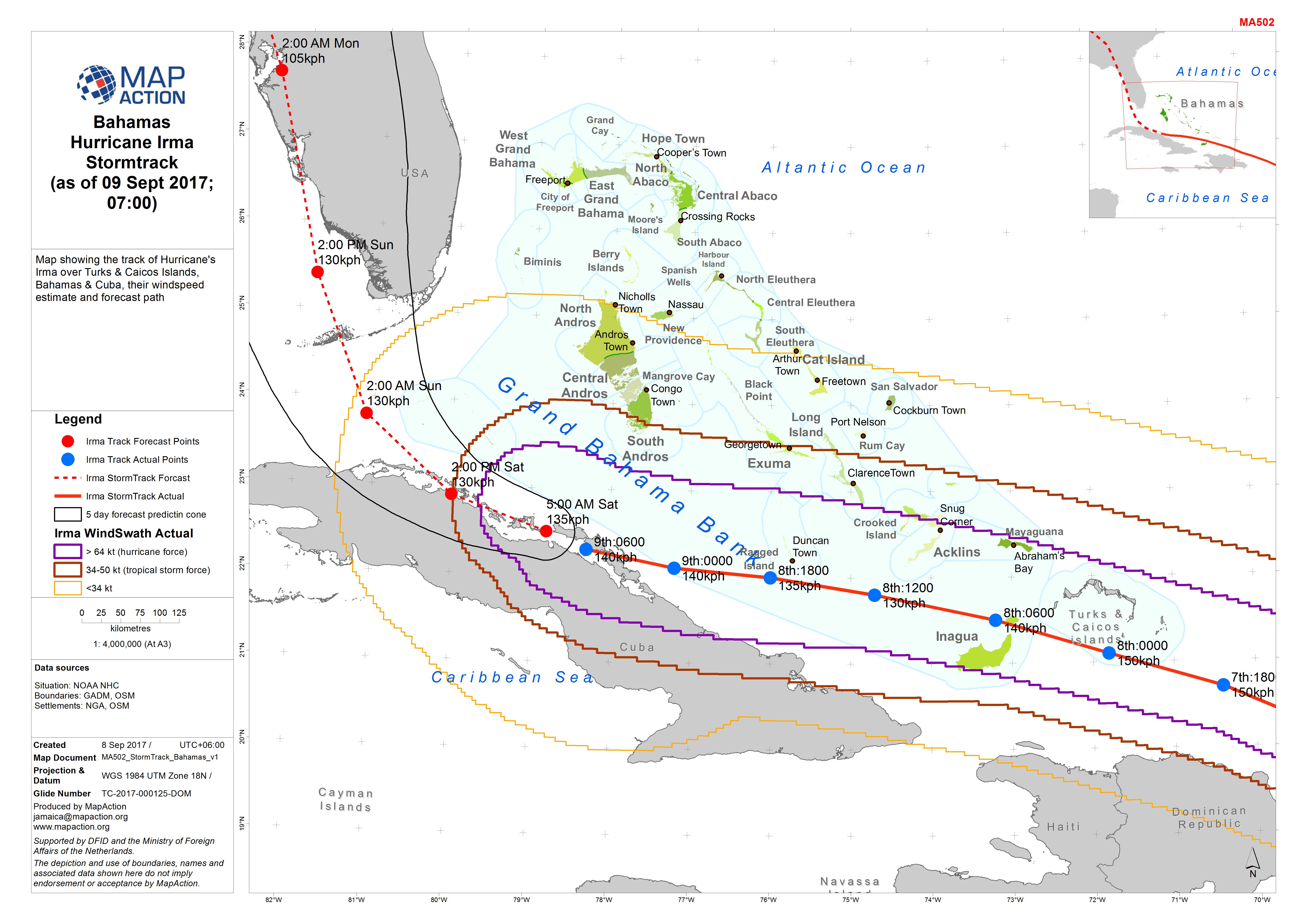
Bahamas Hurricane Irma Stormtrack (as of 09 Sept 2017; 07:00)
Map showing the track of Hurricane's Irma over Turks & Caicos Islands, Bahamas & Cuba, their windspeed estimate and forecast path -
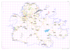
Bahamas Hurricane Irma Reference Map of Bahamas (as of 08 Sept 2017)
Reference map for Bahamas showing major islands, districts and topographic features -

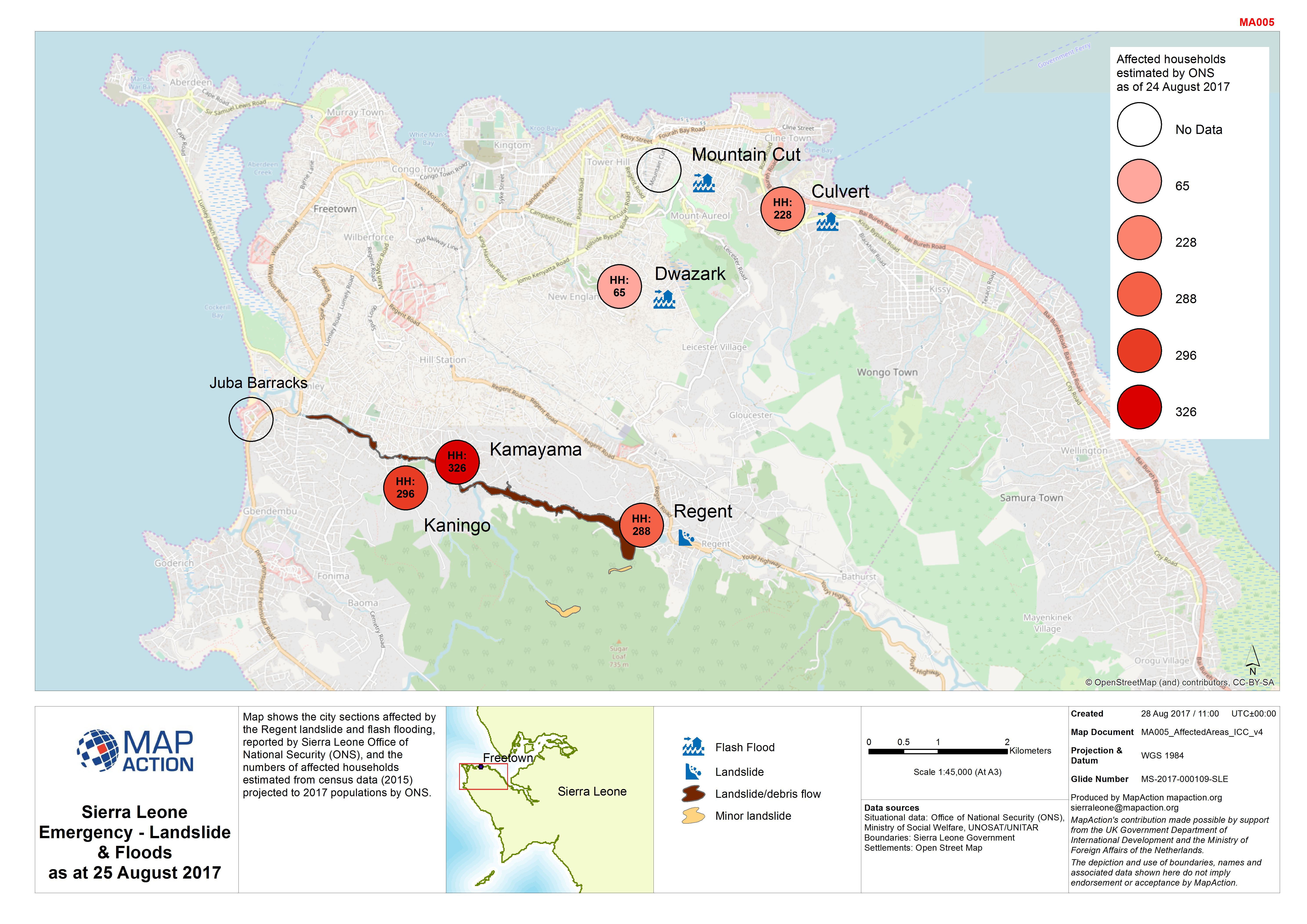
Sierra Leone Emergency - Landslide & Floods as at 25 August 2017
Map shows the city sections affected by the Regent landslide and flash flooding, reported by Sierra Leone Office of National Security (ONS), and the numbers of affected... -

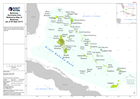
Sierra Leone Landslide/floods - Operations/Logistics (as of 23 Aug 2017)
Map shows key operational locations and the activies being conducted at each site. Points of Interest relevant to the operational setting are also provided.