-

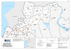
The Philippines: Typhoon Goni - Baseline population (2020 estimate) in storm ...
Map shows the path of the storm and the population density. -

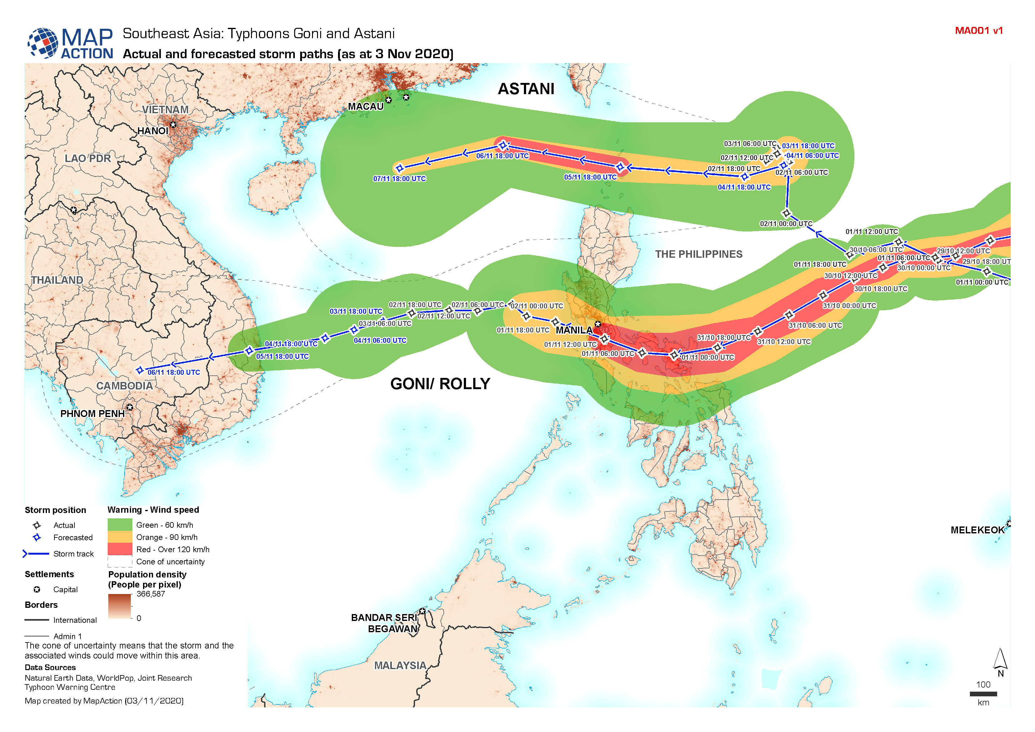
Southeast Asia: Typhoons Goni and Astani - Actual and forecasted storm paths ...
Map shows the actual and forecasted storm tracks for Typhoon Goni and Astani. -

Nicaragua: Hurricane Eta - Potential Storm Track and Administrative Departmen...
This map shows the potential storm track for hurricane Eta with administration level 1 departments for Nicaragua and Honduras. -
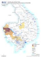
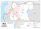
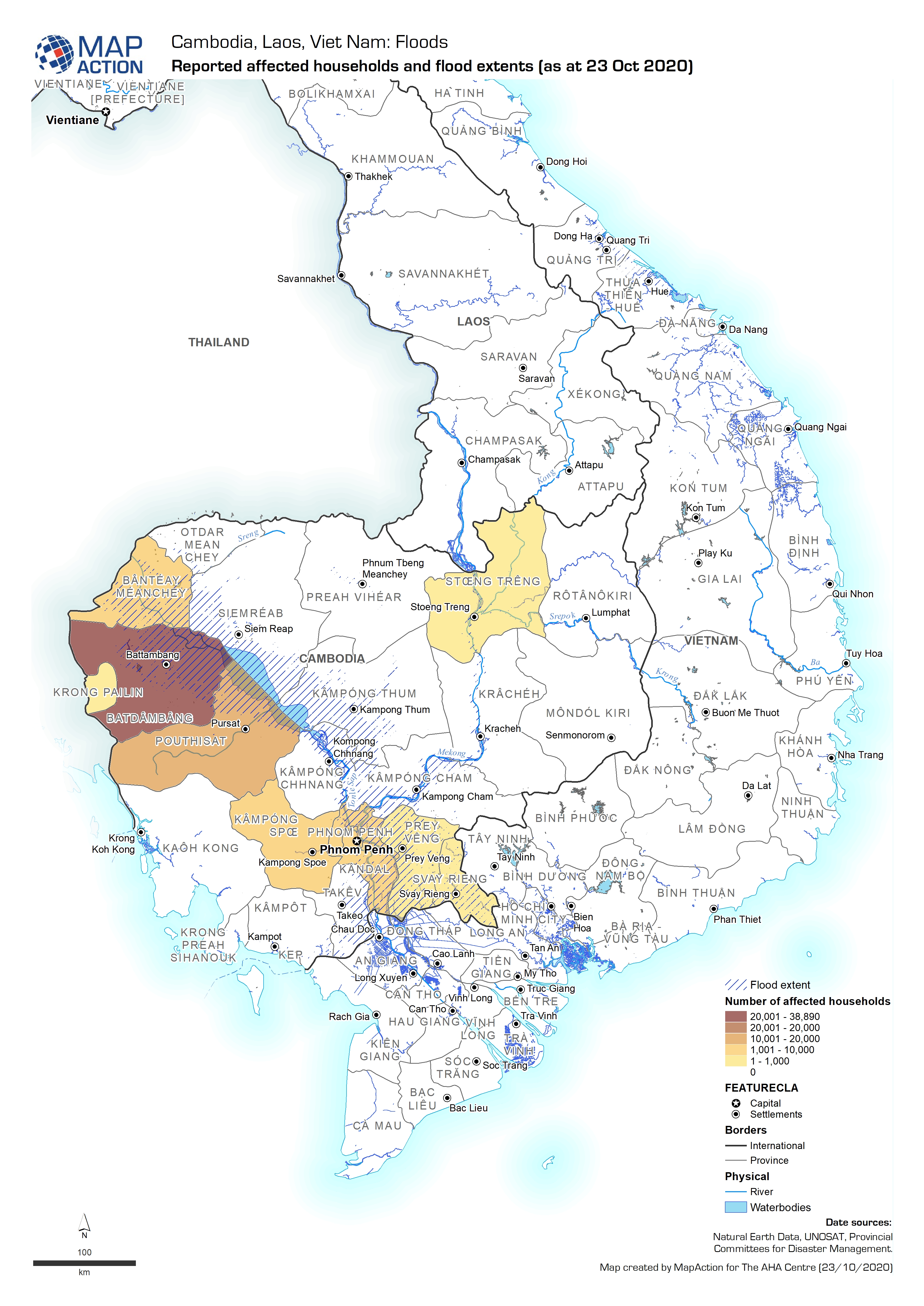
Reported affected households and flood extents (as at 23 Oct 2020)
Map shows the reported number of households affected by flooding in Cambodia. -

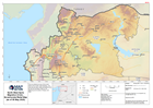
Baseline population density and reported flood extents (as at 23 Oct 2020)
Map shows the population density (people per pixel) and the known flood extents. -

-

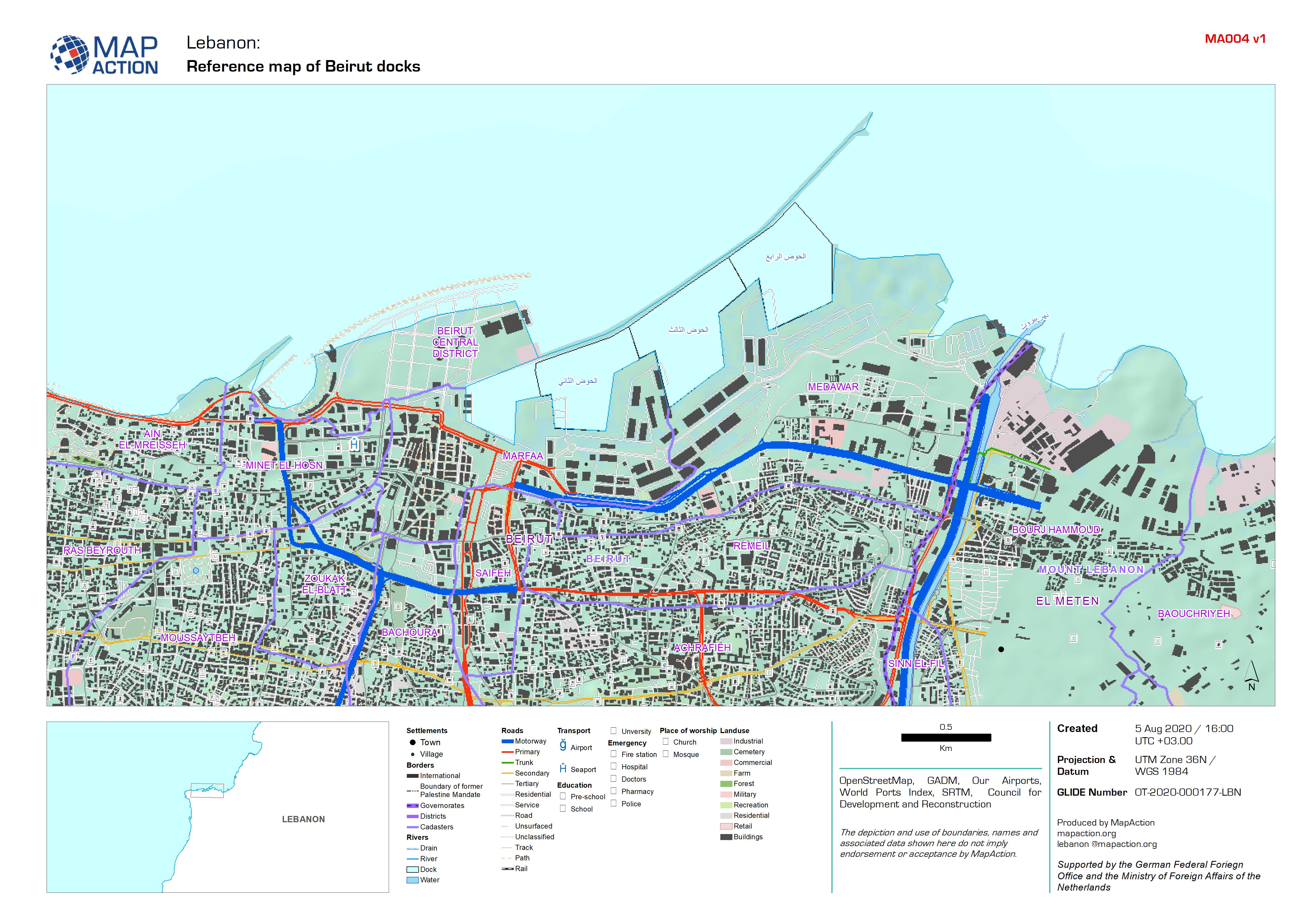
Reference map of Beirut docks
A detailed reference map of the Beirut docks and surrounding area. -
Cadasters and Neighbourhoods in Beirut
Map shows the admininistrative areas of Beirut Governorate. These called Cadasters and Neighbourhoods. -
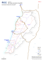
Main supply routes in Lebanon (before 4 Aug 2020)
This map shows the main supply routes in and into Lebanon before the explosion in the Beirut docks on 4th August 2020. -

Guyana: Reference Map: Elevation
This reference map shows digital elevation data at 90m scale, with primary roads, airports and major settlements for Guyana. -
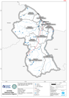
Guyana: Reference Map: Administrative Regions
This reference map shows administrative regions with primary roads, airports, and major settlements in Guyana. -

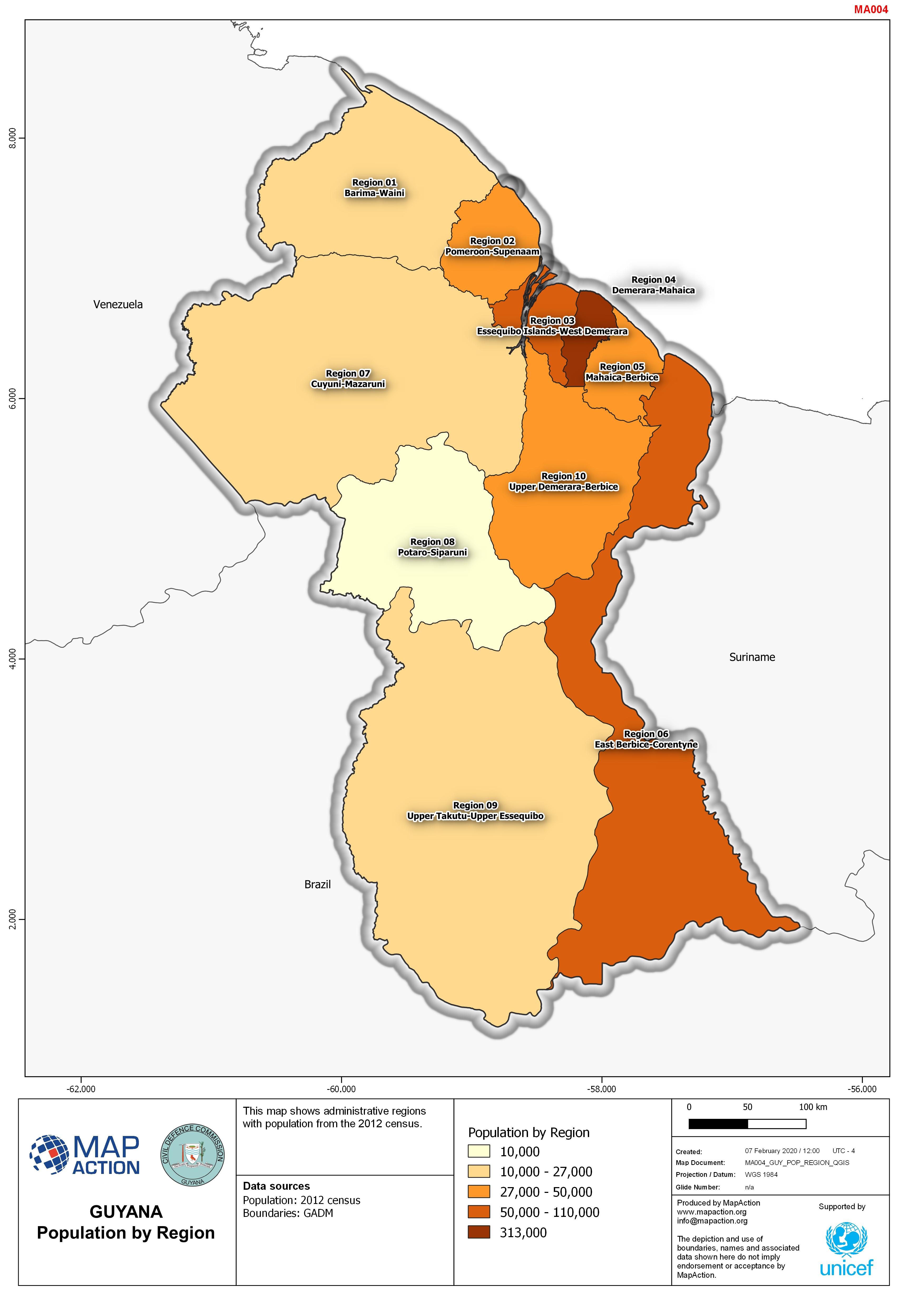
Guyana: Population by Region
This map shows administrative regions with population from the 2012 census. -

Migration Crisis - Reference map with elevation
This is a reference map of the most affected sub-districts in the North West of the Syrian Arab Republic. The map shows major roads, communities (administration 4) with p-codes... -
Migration Crisis - Reference map of most affected sub-districts
This is a reference map showing major roads and towns, as well as elevation data (30m SRTM) for select districts in the North West of the Syrian Arab Republic. Affected... -
Migration Crisis - Affected District Reference Map
This is a reference map showing major roads and towns, as well as elevation data (30m SRTM) for select districts in the North West of the Syrian Arab Republic. Affected... -

North West Syria Migration Crisis - Most Affected Sub-districts (as of 28 Apr...
This map shows a situational overview the most affected sub-districts in the North West of the Syrian Arab Republic. -
North West Syria Migration Crisis - Most Affected Districts (as of 28 Apr 2020)
This map shows a situational overview the most affected districts in the North West of the Syrian Arab Republic. -
North West Syria Migration Crisis - Governorate Relief Map (as of 06 May 2020)
This is a reference map of the North West of the Syrian Arab Republic. The map shows major roads and settlements as well as eleveation data for the affected governorates of... -
North West Syria Migration Crisis - Affected Sub-districts (as of 04 May 2020)
This map shows the affected sub-districts (administration level 3) in the Aleppo and Idleb governorate regions of the Syrian Arab Republic. -

North West Syria Migration Crisis - Syria Governorates (as of 21 Apr 2020)
This is a reference map of the Syria Arab Republic, showing major towns, cities, main roads and administration governorates with associated pcodes.