MA603_Roseau_reference-300dpi.jpeg
From the dataset abstract
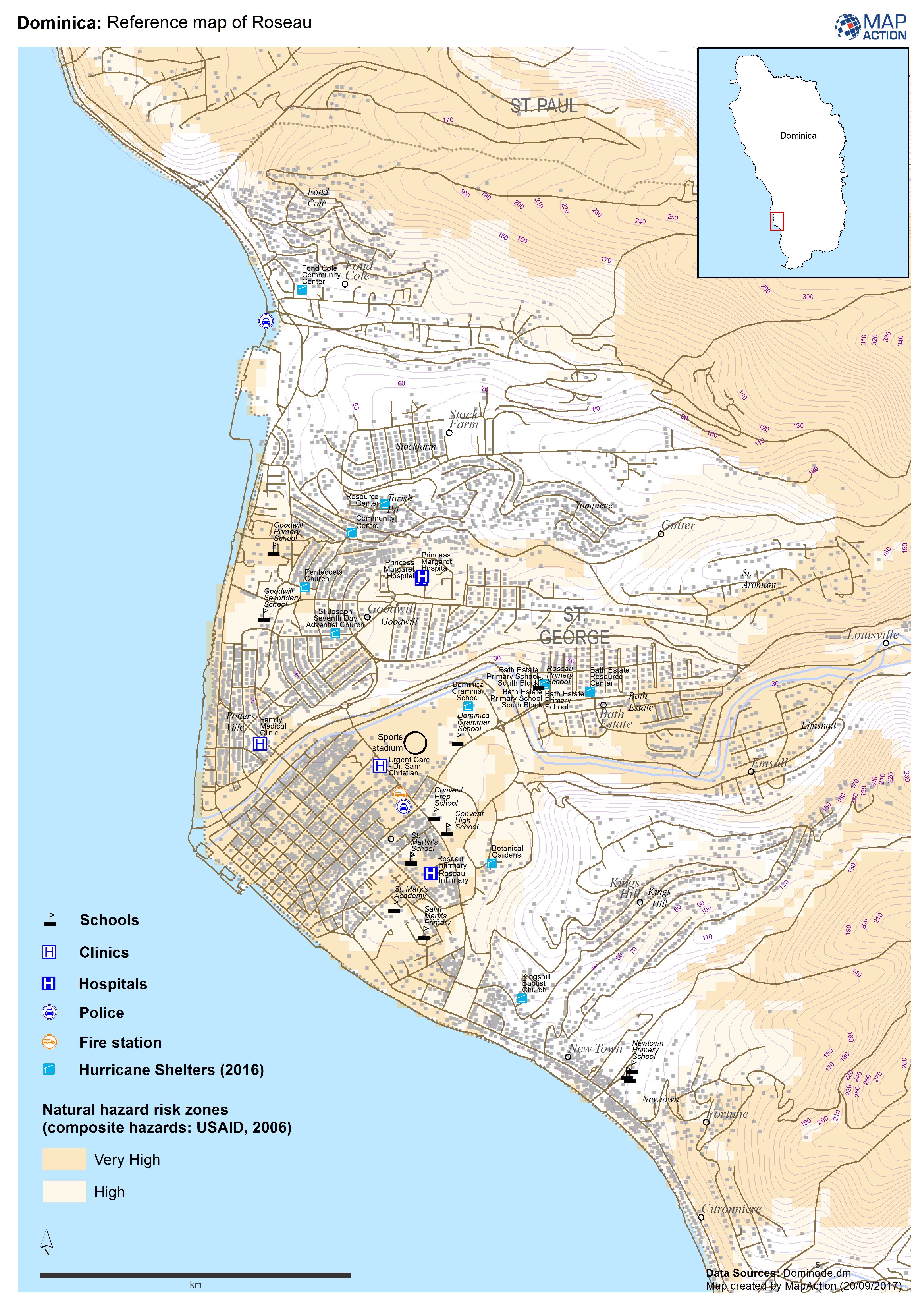
Reference map of Roseau, Dominica. Known locations of hurricane shelters also shown (NB may not be fully up to date).
Additional Information
| Field | Value |
|---|---|
| Data last updated | September 21, 2017 |
| Metadata last updated | September 21, 2017 |
| Created | September 21, 2017 |
| Format | JPEG |
| License | License not specified |
| Has views | True |
| Id | 2e785162-7c46-4c4c-8f7f-f1381e4a14b3 |
| On same domain | True |
| Package id | e655b37c-8002-4380-bdea-8b844d142f48 |
| Revision id | 6643697e-b823-43ce-bee6-6f02039c3381 |
| State | active |
| Url type | upload |