MA028_ElevationPalu-300dpi.jpeg
From the dataset abstract
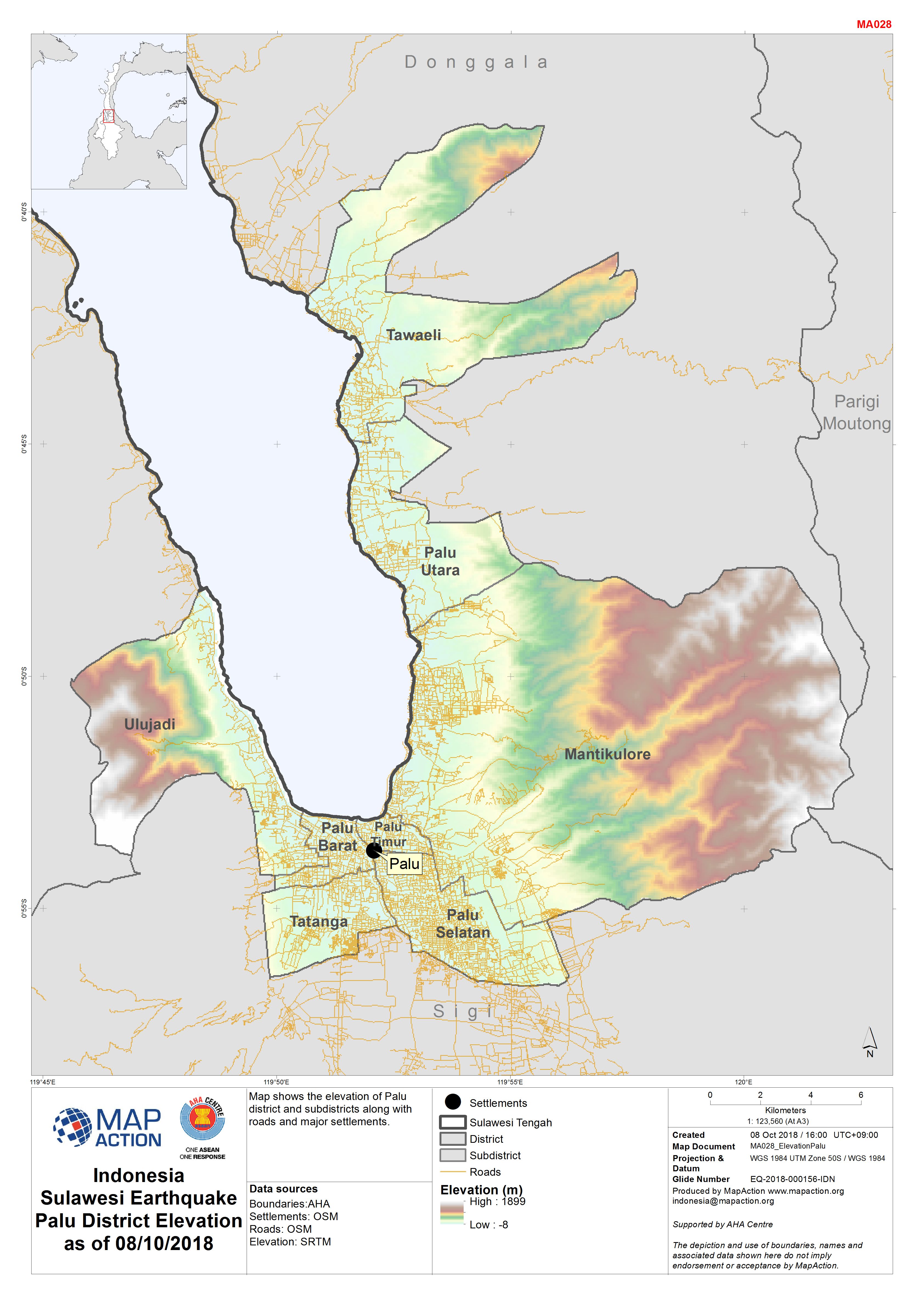
Map shows the elevation of Palu district and subdistricts along with roads and major settlements.
Source: Indonesia Sulawesi Earthquake Palu District Elevation as of 08/10/2018
Additional Information
| Field | Value |
|---|---|
| Data last updated | October 9, 2018 |
| Metadata last updated | October 9, 2018 |
| Created | October 9, 2018 |
| Format | JPEG |
| License | License not specified |
| Has views | True |
| Id | 1e4af6ec-b5c6-495d-96cc-d148553afdc4 |
| On same domain | True |
| Package id | dc5e4e63-74af-48c0-b53e-50fa352c37f8 |
| Revision id | 7ad5eedf-88e9-4fe2-b64c-8b6542f798de |
| State | active |
| Url type | upload |