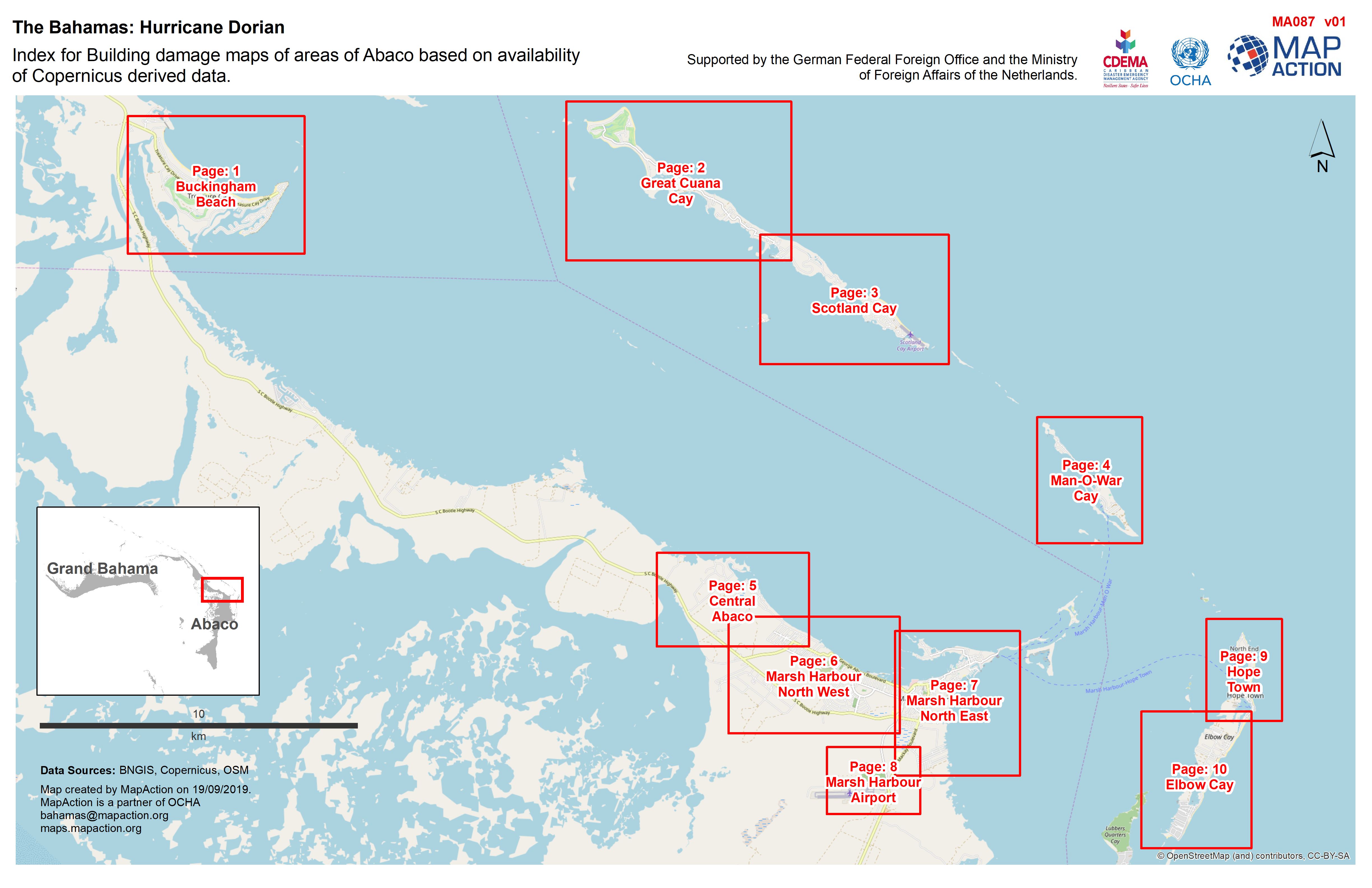
MA087_Abaco_Building_Damage_Index_v01-300dpi.jpeg
From the dataset abstract
Building damage in areas of Abaco and surrounding islands
Source: Index for Building damage maps of areas of Abaco based on availability of Copernicus derived data.
Additional Information
| Field | Value |
|---|---|
| Data last updated | September 19, 2019 |
| Metadata last updated | September 19, 2019 |
| Created | September 19, 2019 |
| Format | JPEG |
| License | License not specified |
| Has views | True |
| Id | cf2b284b-8aca-4f5c-9dae-0ff7c92886d7 |
| Mimetype | image/jpeg |
| On same domain | True |
| Package id | 1a4909e4-75e7-42b0-9b51-9434e1c23750 |
| Revision id | 4236d9be-0efb-413a-96e6-3304225efd90 |
| Size | 945.5 KiB |
| State | active |
| Url type | upload |
