MA020_Assessment Overview-300dpi.jpeg
From the dataset abstract
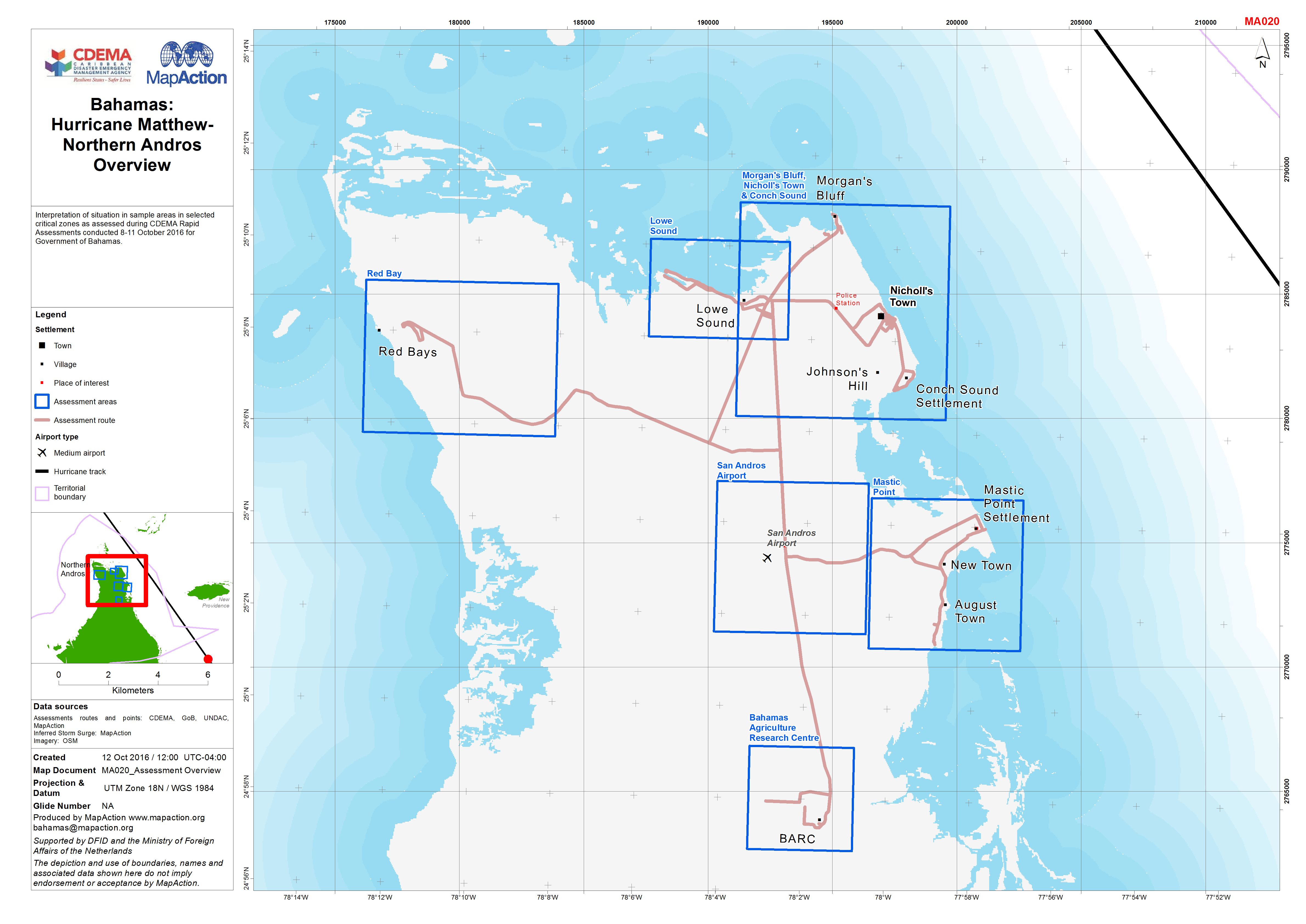
Interpretation of situation in sample areas in selected critical zones as assessed during CDEMA Rapid Assessments conducted 8-11 October 2016 for Government of Bahamas.
Source: Bahamas: Hurricane Matthew- Northern Andros Overview
Additional Information
| Field | Value |
|---|---|
| Data last updated | October 24, 2016 |
| Metadata last updated | October 24, 2016 |
| Created | October 24, 2016 |
| Format | JPEG |
| License | License not specified |
| Has views | True |
| Id | 461c2d3f-1811-4e20-b185-0dc5f8be1741 |
| On same domain | True |
| Package id | 6ceaf53f-a083-45e8-9342-d7ed195bb1b4 |
| Revision id | 114badc3-d987-4665-a8aa-589146d2a312 |
| State | active |
| Url type | upload |