MA003_Location100000_A3_Rotuma.jpg
From the dataset abstract
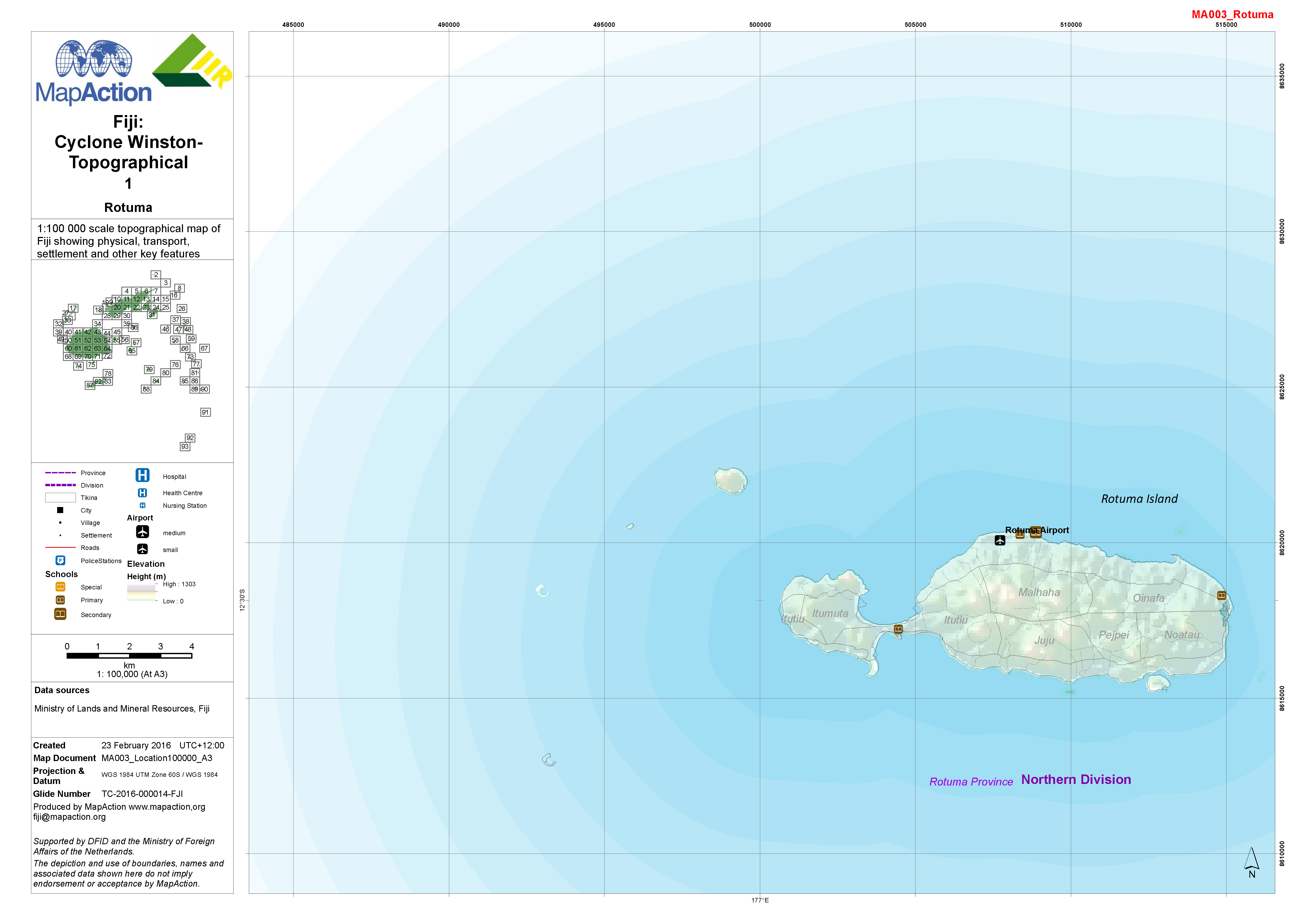
1:100,000 topographical map of Fiji showing physical, transport, settlement and other key features.
Additional Information
| Field | Value |
|---|---|
| Data last updated | July 4, 2016 |
| Metadata last updated | July 4, 2016 |
| Created | July 4, 2016 |
| Format | JPEG |
| License | License not specified |
| Has views | True |
| Id | 65874a84-b531-4aed-ac97-9b9c98e91b48 |
| On same domain | True |
| Package id | b67517f5-1e6c-498b-83ea-6f9da213005b |
| Revision id | 7e4450f1-8dfd-4e9d-9668-a4afa207399f |
| State | active |
| Url type | upload |