MA002_Location250000_A3_Lomaivitis.jpg
From the dataset abstract
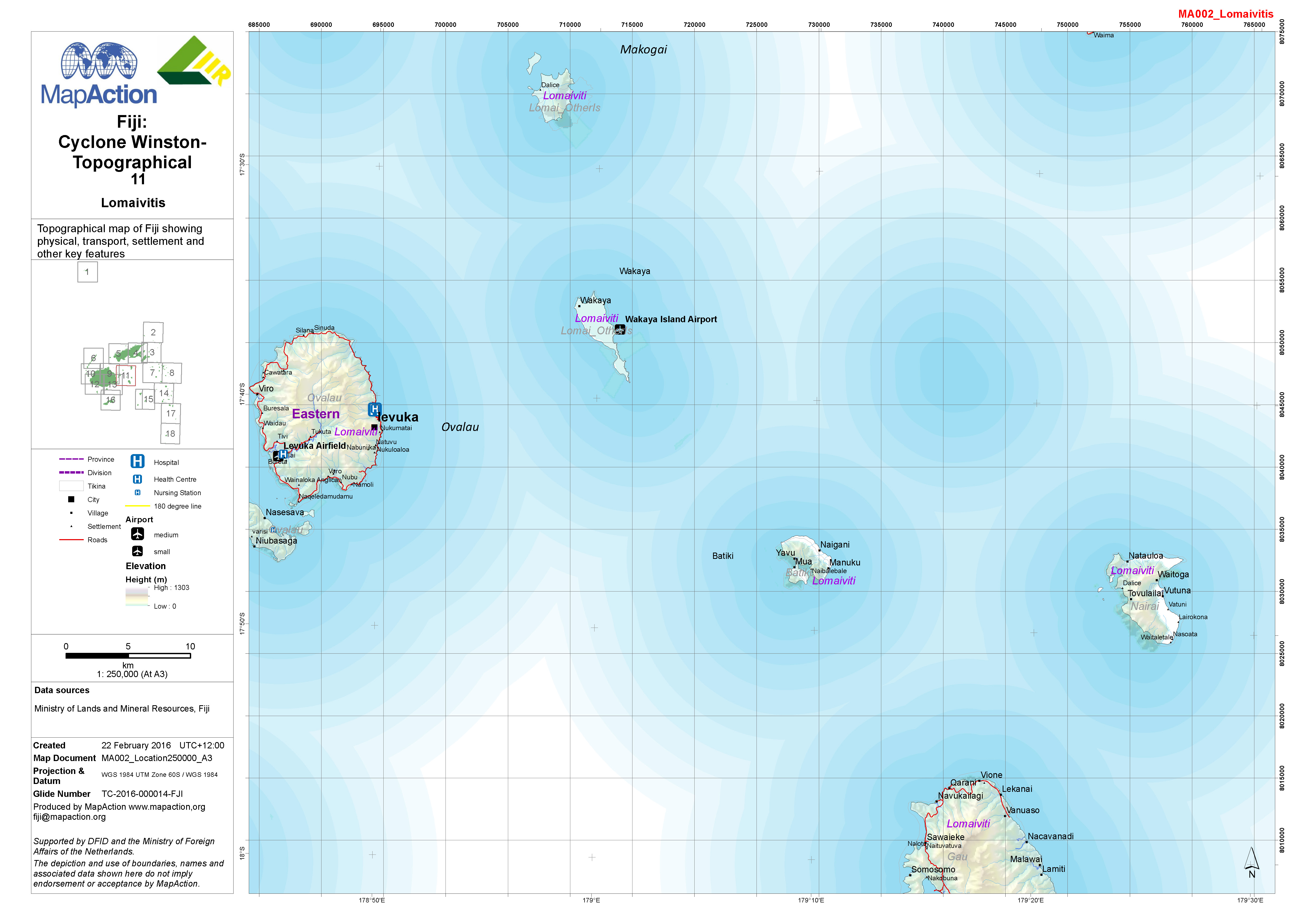
1:250,000 topographical map of Fiji showing physical, transport, settlement and other key features.
Source: Fiji: Cyclone Winston - Topographical - 11 - Lomaivitis
Additional Information
| Field | Value |
|---|---|
| Data last updated | July 4, 2016 |
| Metadata last updated | July 4, 2016 |
| Created | July 4, 2016 |
| Format | JPEG |
| License | License not specified |
| Has views | True |
| Id | f8fa5498-1368-4bc3-9963-2a0b517ca2eb |
| On same domain | True |
| Package id | 42980e01-f1b5-4971-aec1-52666de6bf83 |
| Revision id | 84c3260c-9a57-474f-b336-f0b2d7f8e549 |
| State | active |
| Url type | upload |