MA001_Location500000_A3_Yasawas and Mamanucas.jpg
From the dataset abstract
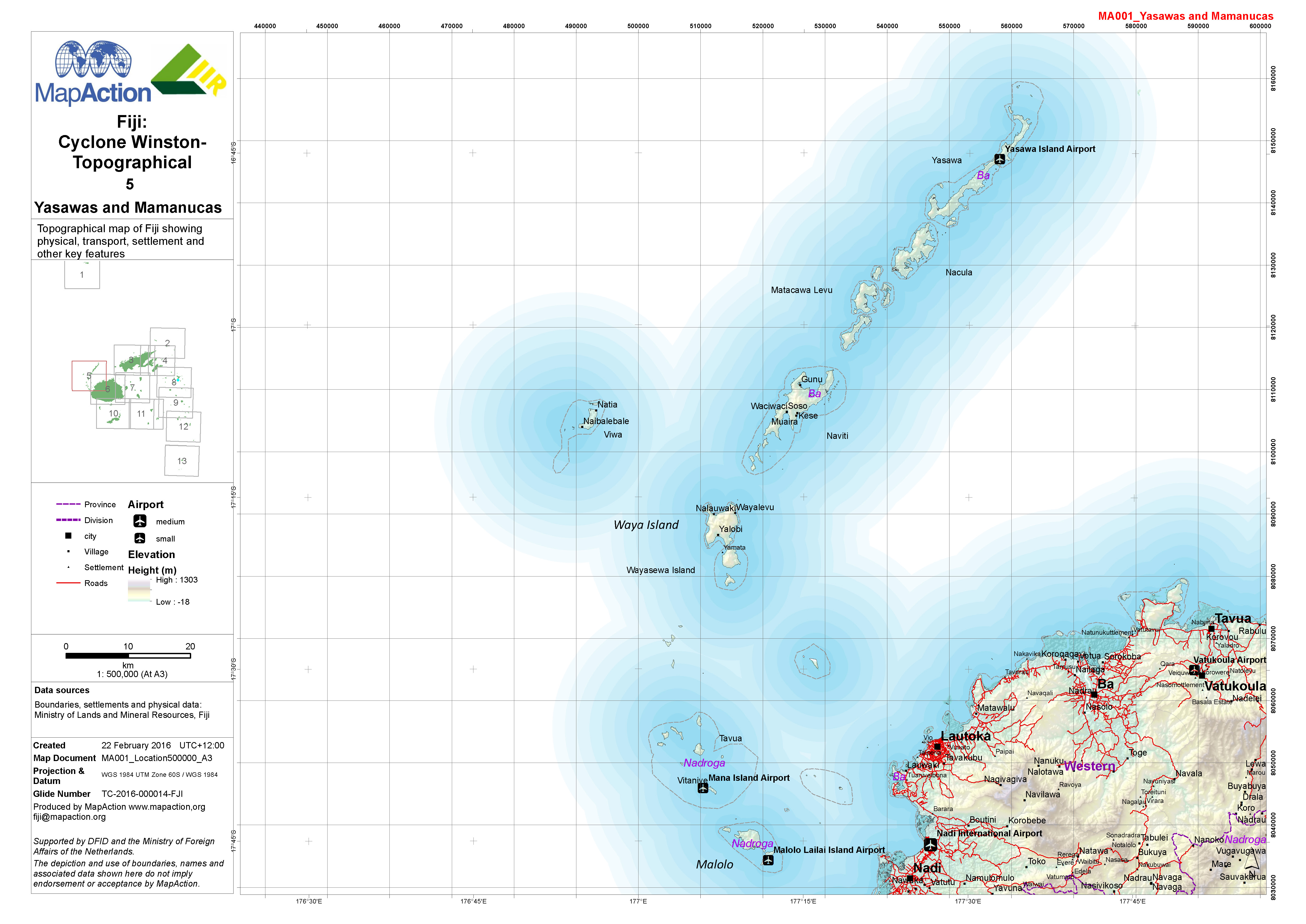
1:500,000 topographical map of Fiji showing physical, transport, settlement and other key features.
Source: Fiji: Cyclone Winston - Topographical - 5 - Yasawas and Mamanucas
Additional Information
| Field | Value |
|---|---|
| Data last updated | July 4, 2016 |
| Metadata last updated | July 4, 2016 |
| Created | July 4, 2016 |
| Format | JPEG |
| License | License not specified |
| Has views | True |
| Id | 0634bdee-58df-4de9-8ee4-828f7b5a5569 |
| On same domain | True |
| Package id | 2e0c2287-7885-42ee-b22e-7f2711391199 |
| Revision id | fc1e79ee-8f3e-4196-96a0-45f8a2a13fcf |
| State | active |
| Url type | upload |