MA117_V04_HumanitarianInfrastructure-300dpi.jpeg
From the dataset abstract
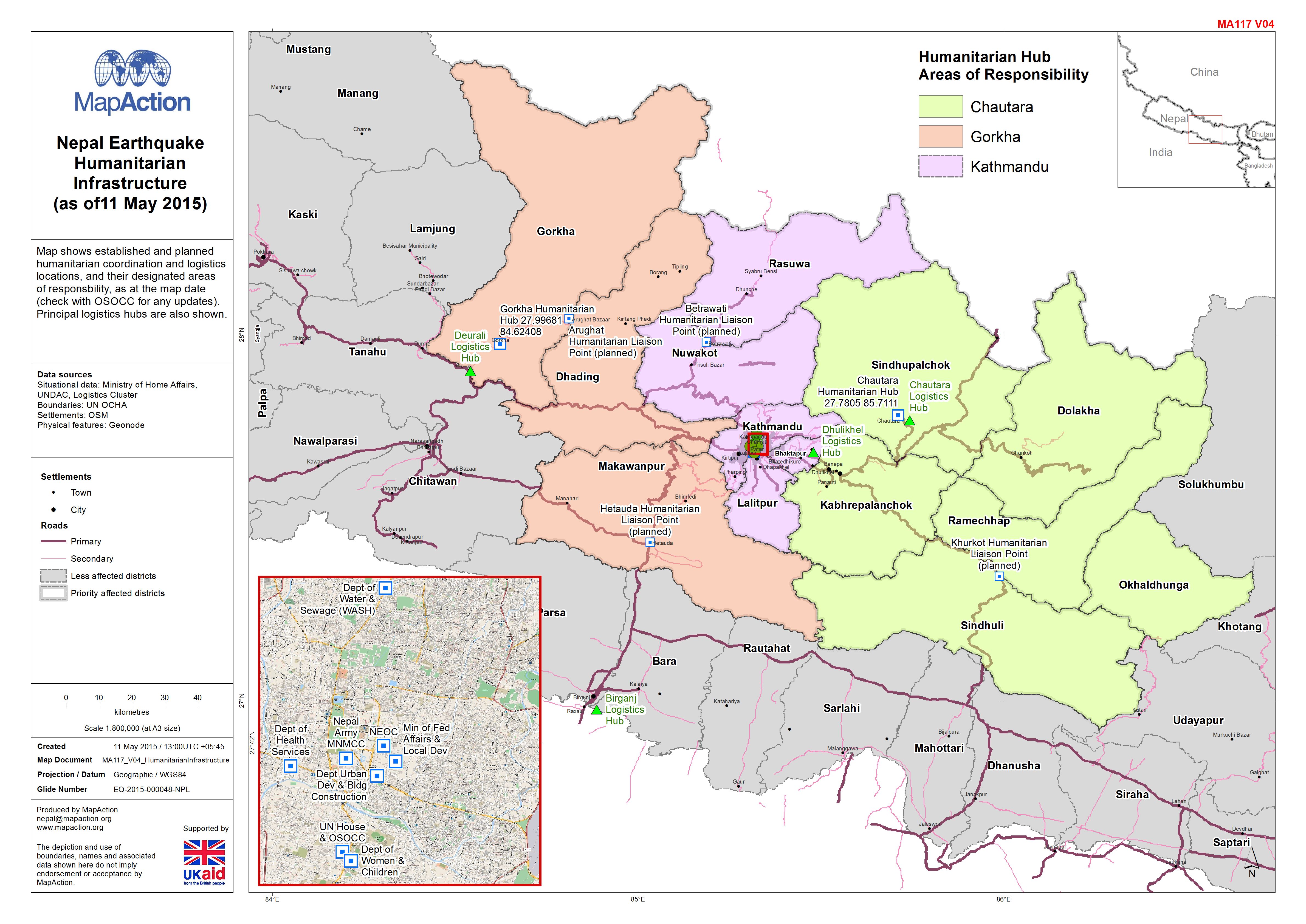
Map shows established and planned humanitarian coordination and logistics locations, and their designated areas of responsbility, as at the map date (check with OSOCC for any updates)....
Source: Nepal: Earthquake - Humanitarian Infrastructure(as of11 May 2015)
Additional Information
| Field | Value |
|---|---|
| Data last updated | July 4, 2016 |
| Metadata last updated | July 4, 2016 |
| Created | July 4, 2016 |
| Format | JPEG |
| License | License not specified |
| Has views | True |
| Id | 5cd55cf6-7b54-49fe-a22d-aed2bdacd63e |
| On same domain | True |
| Package id | b5b84de1-42ee-4bf5-a893-802e0ef9780f |
| Revision id | 7445352f-908e-44f8-b3a2-15cec3fa0283 |
| State | active |
| Url type | upload |