MA504A_V01_ReferenceMap_NWGorkha_Contours-300dp ...
From the dataset abstract
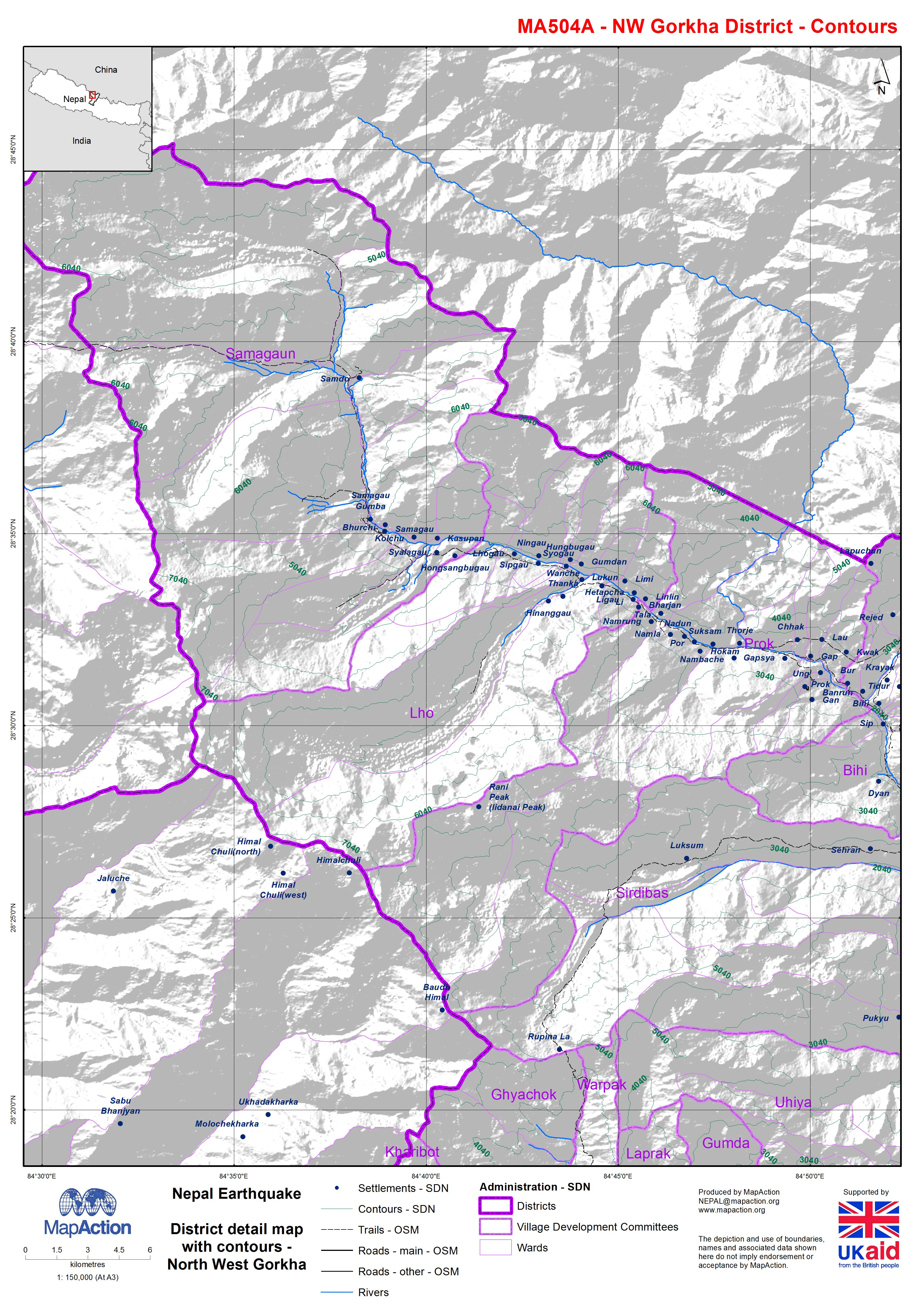
Map shows the terrain, roads, rivers and settlements.
Source: Nepal: Earthquake - District detail map with contours - North West Gorkha
Additional Information
| Field | Value |
|---|---|
| Data last updated | July 4, 2016 |
| Metadata last updated | July 4, 2016 |
| Created | July 4, 2016 |
| Format | JPEG |
| License | License not specified |
| Has views | True |
| Id | 0c2b02d5-94a6-48dd-b284-5fe63470820b |
| On same domain | True |
| Package id | 74759eaa-ee01-433f-9b50-7ea5a4cabd08 |
| Revision id | 45f357c4-18b7-4b19-a979-403351e22006 |
| State | active |
| Url type | upload |