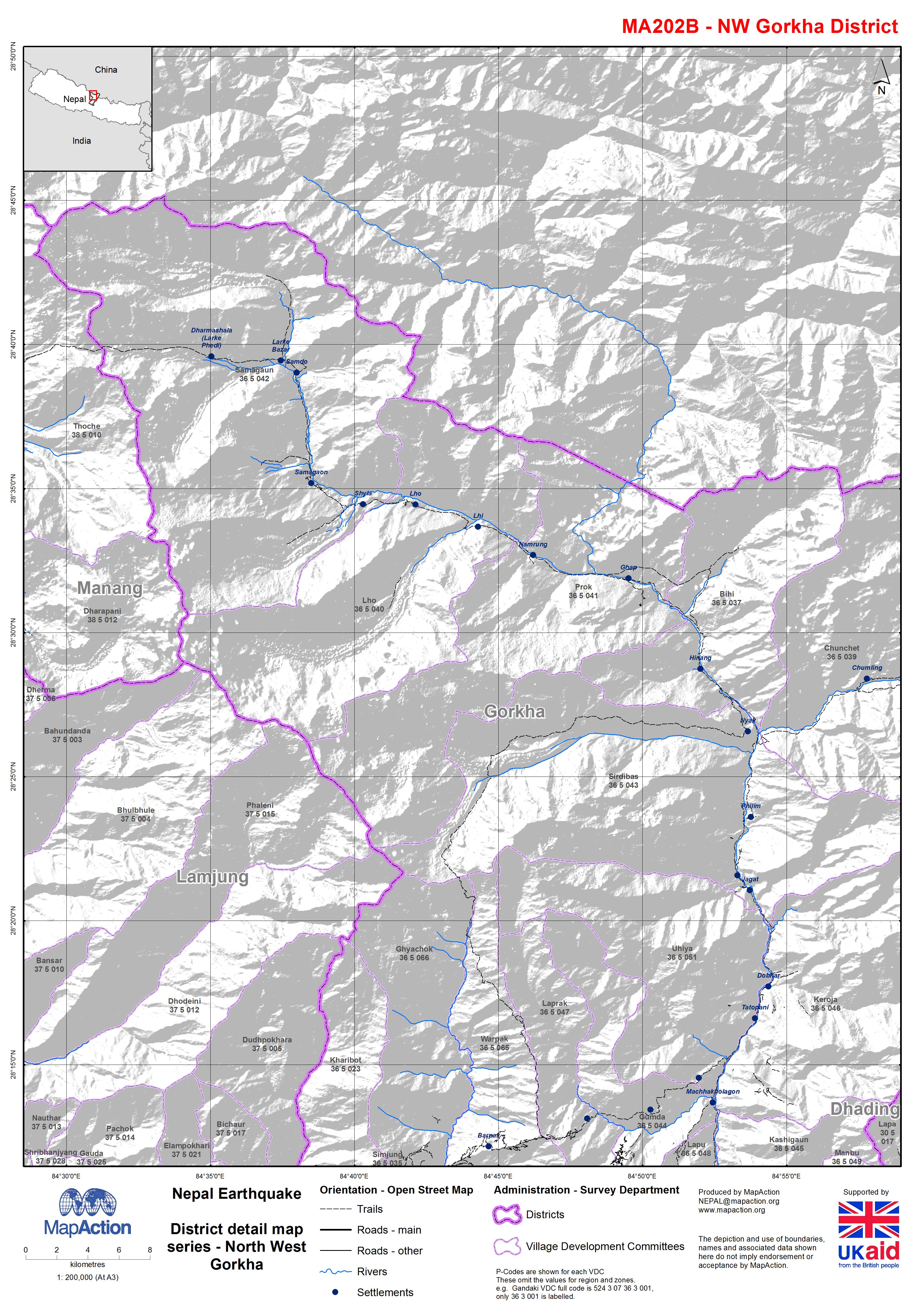
MA202B_ReferenceMapSeries_NWGorkha-300dpi.jpeg
From the dataset abstract
Map shows the terrain, roads, rivers and settlements.
Source: Nepal: Earthquake - District detail map series - North West Gorkha
Additional Information
| Field | Value |
|---|---|
| Data last updated | July 4, 2016 |
| Metadata last updated | July 4, 2016 |
| Created | July 4, 2016 |
| Format | JPEG |
| License | License not specified |
| Has views | True |
| Id | 6fb3af20-536d-437c-a79f-8bea6aac8c2b |
| On same domain | True |
| Package id | c78e6a04-a449-4f40-b526-c010b7b75160 |
| Revision id | fe874f6b-9dfb-445e-883d-1355cc69eb57 |
| State | active |
| Url type | upload |
