MA001v2_Cumulative_Rainfall_7DayA3-300dpi.jpeg
From the dataset abstract
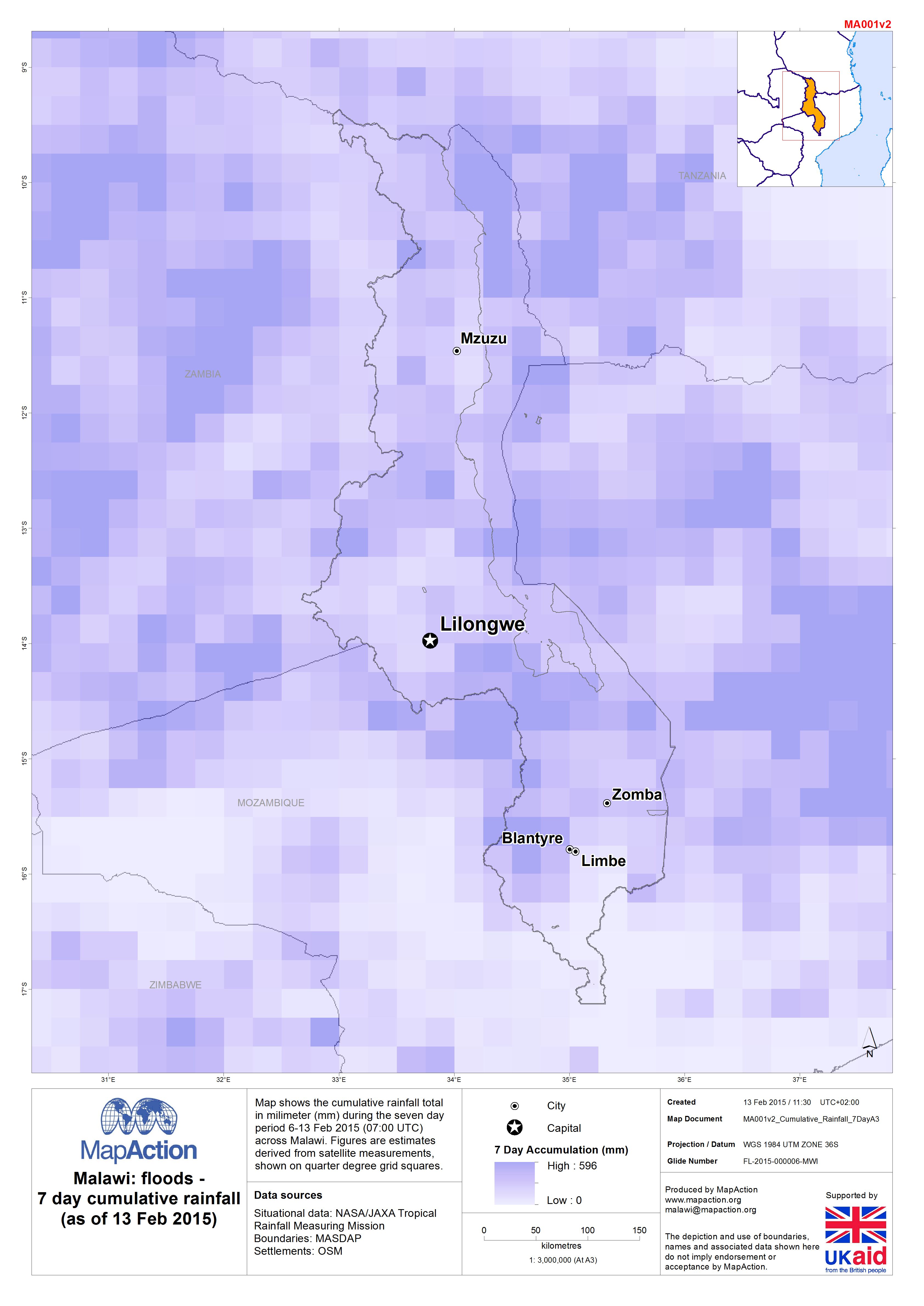
Map shows the cumulative rainfall total in milimeter (mm) during the seven day period 6-13 Feb 2015 (07:00 UTC) across Malawi. Figures are estimates derived from satellite measurements,...
Source: Malawi: Floods - 7 day cumulative rainfall (as of 13 Feb 2015)
Additional Information
| Field | Value |
|---|---|
| Data last updated | July 4, 2016 |
| Metadata last updated | July 4, 2016 |
| Created | July 4, 2016 |
| Format | JPEG |
| License | License not specified |
| Has views | True |
| Id | 43a6d2d5-0a8b-4a93-b103-42f5f2143f3c |
| On same domain | True |
| Package id | eedab6cb-5b4f-407c-9148-0c172ab24192 |
| Revision id | f284d4a0-1f6b-4024-80b4-ed26eec57a16 |
| State | active |
| Url type | upload |