MA020_Overview_Central-300dpi.jpeg
From the dataset abstract
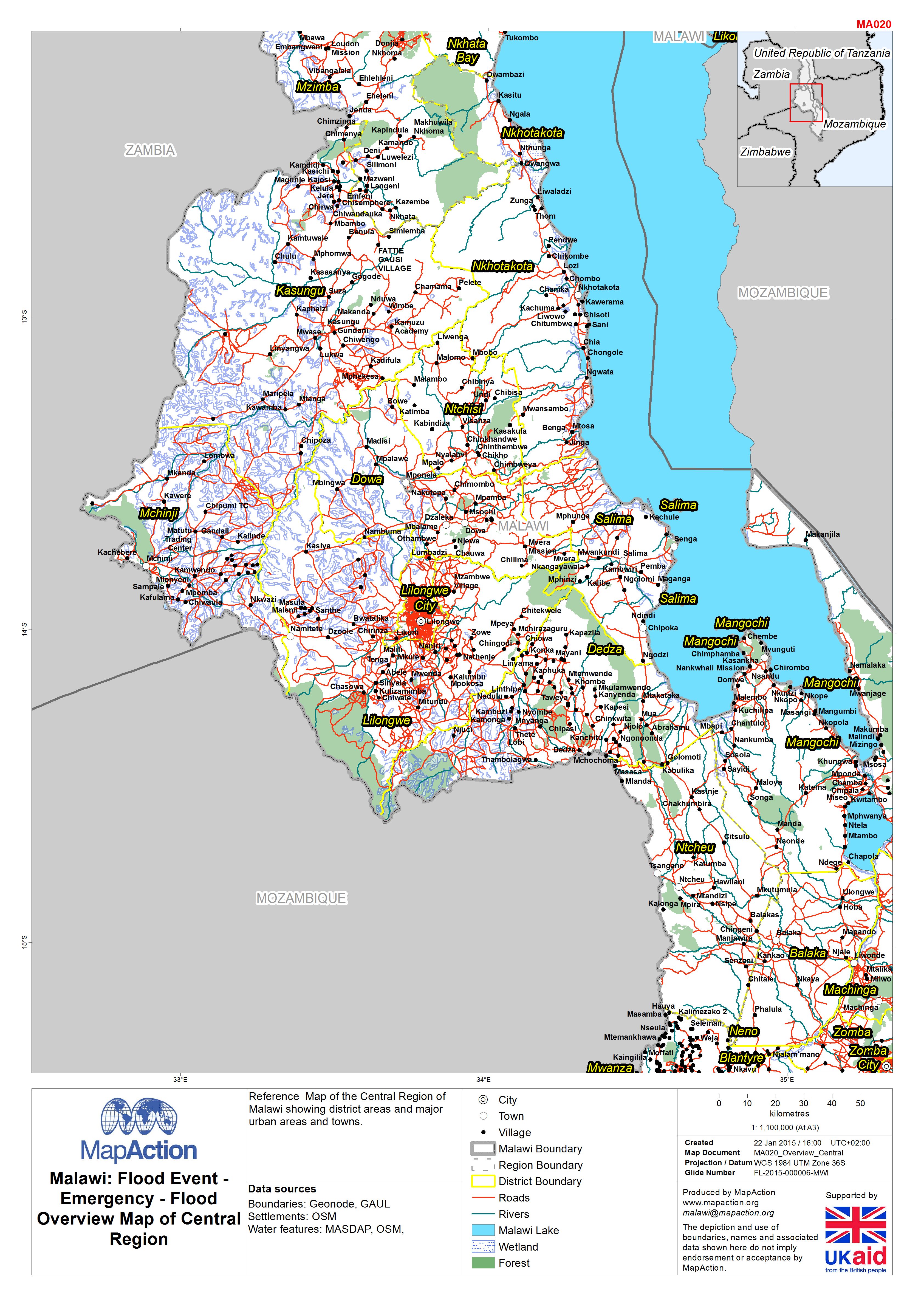
Reference Map of the Central Region of Malawi showing district areas and major urban areas and towns.
Source: Malawi: Floods - Emergency - Flood Overview Map of Central Region
Additional Information
| Field | Value |
|---|---|
| Data last updated | July 4, 2016 |
| Metadata last updated | July 4, 2016 |
| Created | July 4, 2016 |
| Format | JPEG |
| License | License not specified |
| Has views | True |
| Id | 93f47118-c416-4a13-838f-bb9270153fa3 |
| On same domain | True |
| Package id | a3ed7e10-9f5f-423f-9163-63187c46ee8d |
| Revision id | b4d74f1c-1800-418a-8066-453c61214e37 |
| State | active |
| Url type | upload |