MA007_PopDensityPerDistrict-300dpi.jpeg
From the dataset abstract
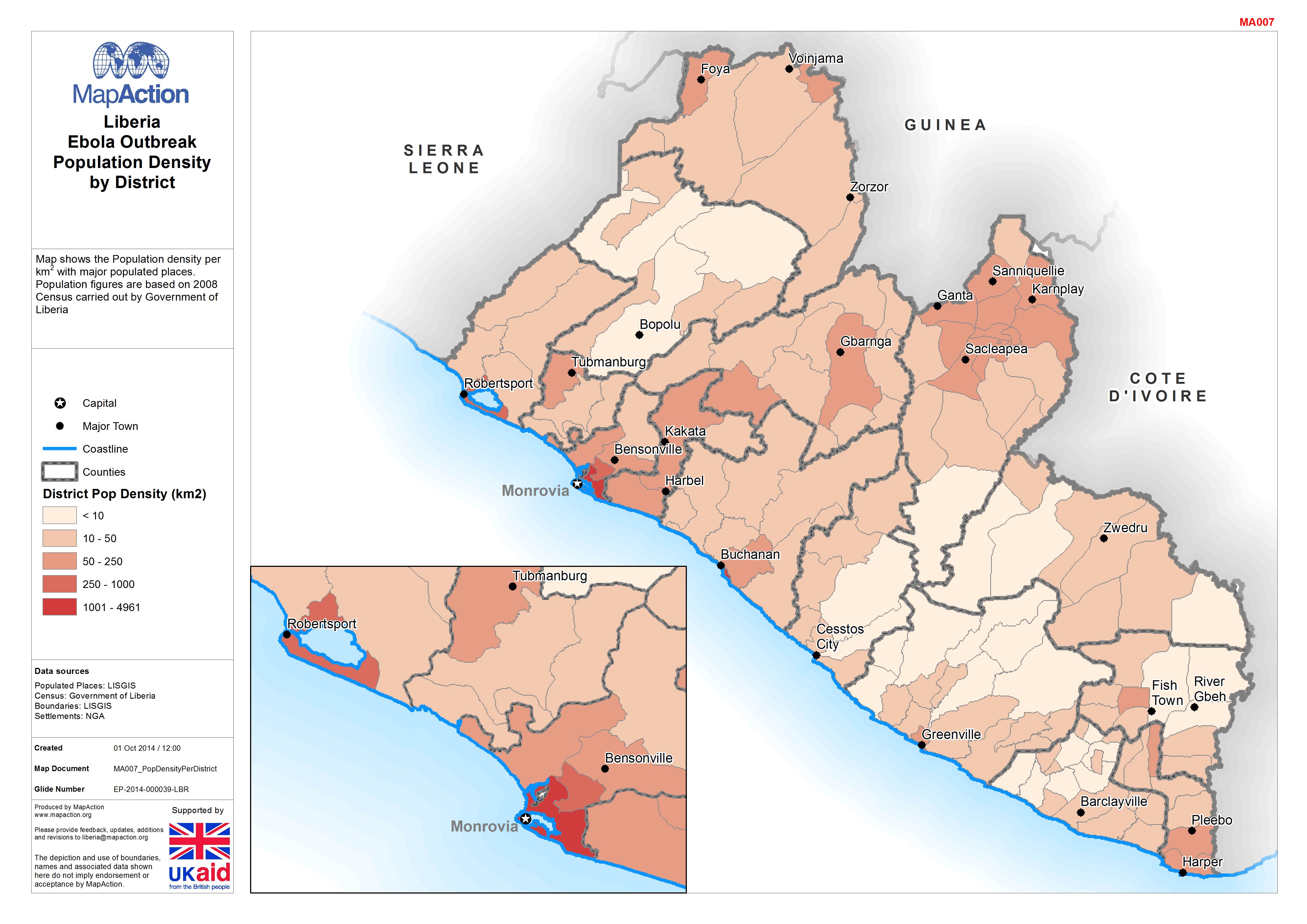
Map shows the Population density per km2 with major populated places. Population figures are based on 2008 Census carried out by Government of Liberia
Source: Liberia: Ebola Outbreak - Population Density by District
Additional Information
| Field | Value |
|---|---|
| Data last updated | July 4, 2016 |
| Metadata last updated | July 4, 2016 |
| Created | July 4, 2016 |
| Format | JPEG |
| License | License not specified |
| Has views | True |
| Id | e902a5e6-6f41-41da-8634-ea17713833f2 |
| On same domain | True |
| Package id | 43c8f50d-0d79-4687-9880-bfedf0bfb139 |
| Revision id | 6093bcee-9ce4-4ce2-88c0-1467067dba73 |
| State | active |
| Url type | upload |