MA013e_EvacuationCentresSamar_v01-300dpi.jpeg
From the dataset abstract
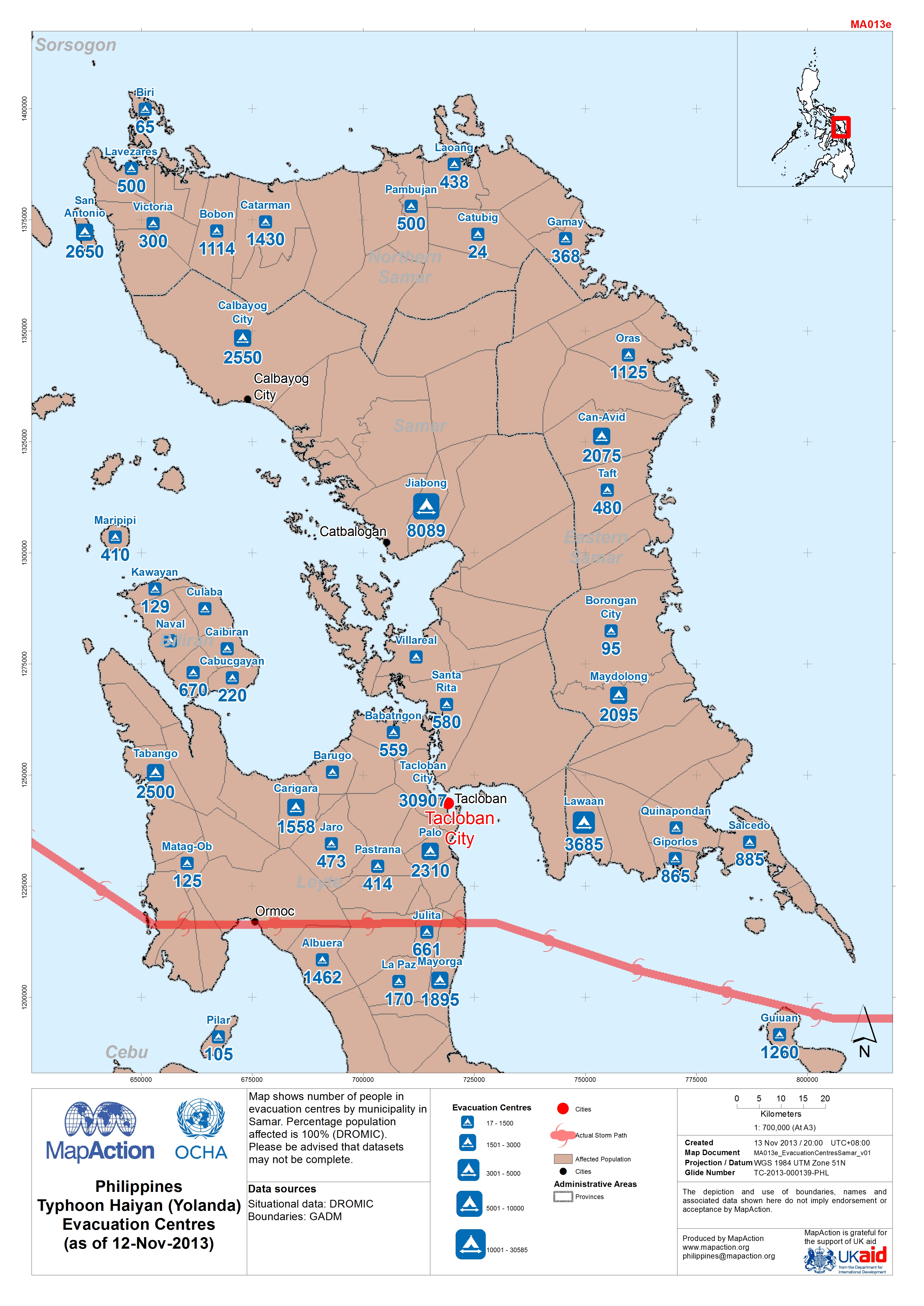
Map shows number of people in evacuation centres by municipality in Samar. Percentage population affected is 100% (DROMIC).Please be advised that datasets may not be complete.
Source: Philippines Typhoon Haiyan (Yolanda) Evacuation Centres in Samar (as of 12-Nov-2013)
Additional Information
| Field | Value |
|---|---|
| Data last updated | July 4, 2016 |
| Metadata last updated | July 4, 2016 |
| Created | July 4, 2016 |
| Format | JPEG |
| License | License not specified |
| Has views | True |
| Id | 5ab387a7-4f99-459f-a72b-39181d163fa1 |
| On same domain | True |
| Package id | f8752688-063c-4a91-b3df-856a0ad4f265 |
| Revision id | 12cb1d04-06ac-441d-bc43-720ae5a1b02b |
| State | active |
| Url type | upload |