2904.jpg
From the dataset abstract
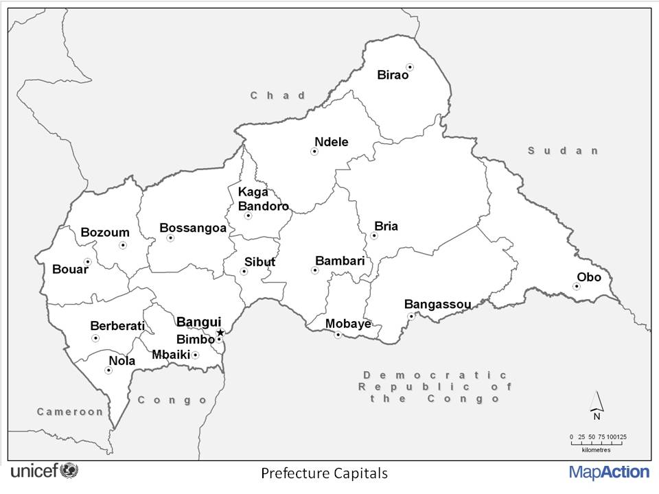
Editable PowerPoint maps of Central African Republic showing Administrative boundaries and settlements.
Source: Editable PowerPoint maps of Central African Republic
Additional Information
| Field | Value |
|---|---|
| Data last updated | July 4, 2016 |
| Metadata last updated | July 4, 2016 |
| Created | July 4, 2016 |
| Format | JPEG |
| License | License not specified |
| Has views | True |
| Id | 3e9d6f32-af3b-444e-96ae-20a94f845bb6 |
| On same domain | True |
| Package id | 9ab61458-7ea6-45aa-bab8-4458116ebdaa |
| Position | 1 |
| Revision id | ae70df33-1f17-43b9-9631-e8247196ebb3 |
| State | active |
| Url type | upload |