MA5007_SyriaDistrictMaps_P36_Hama.jpg
From the dataset abstract
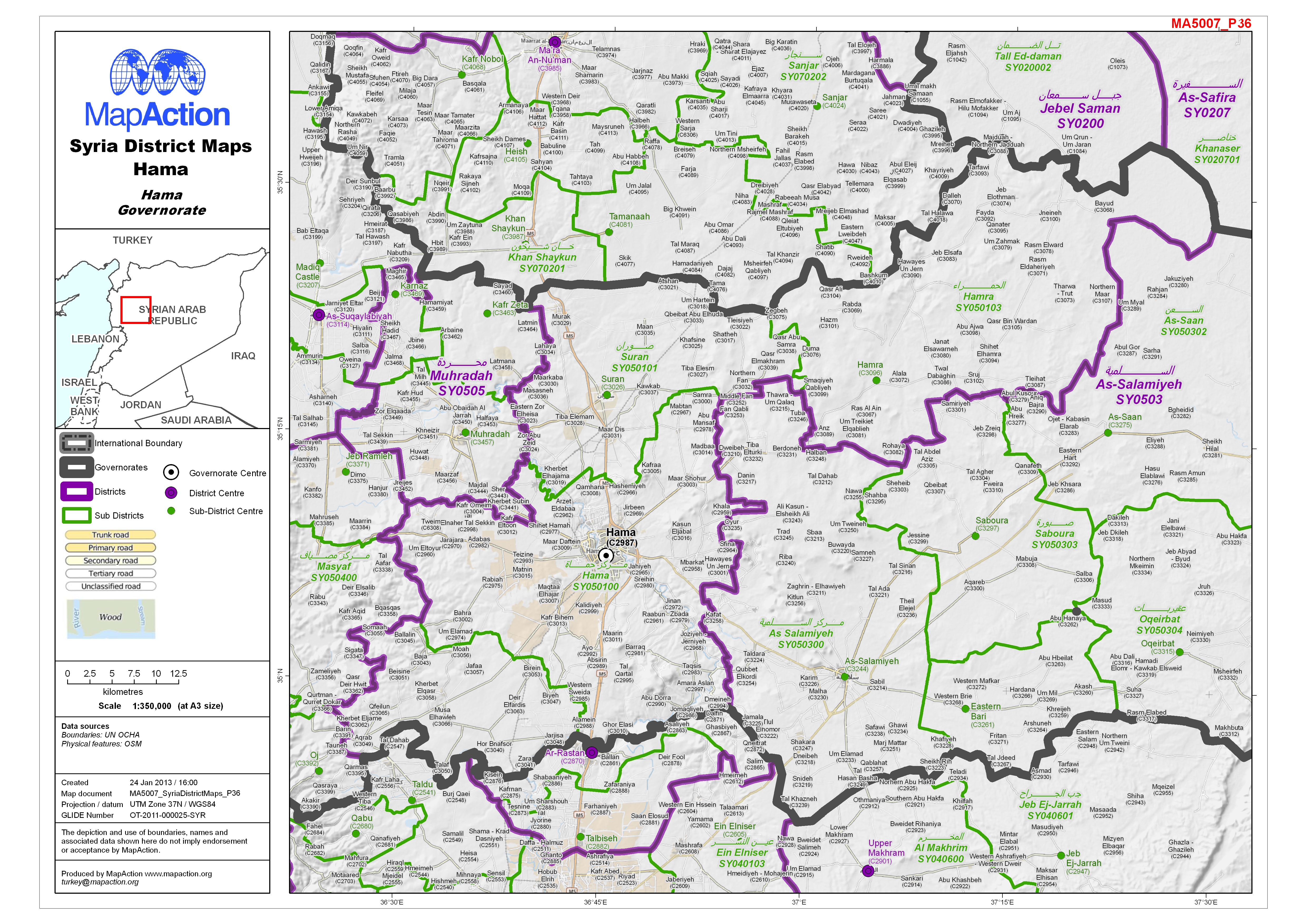
Map of Hama District in Hama Governorate, Syria, showing sub-district boundaries over basemap (includes District and Sub-District names in English and Arabic with P-Codes)
Source: Syria - District Maps: Hama District in Hama Governorate
Additional Information
| Field | Value |
|---|---|
| Data last updated | July 4, 2016 |
| Metadata last updated | July 4, 2016 |
| Created | July 4, 2016 |
| Format | JPEG |
| License | License not specified |
| Has views | True |
| Id | 82f4164d-5527-4e39-9f25-191f49f41bbf |
| On same domain | True |
| Package id | a9b2be81-b8fb-466d-94e1-cd646cb055fc |
| Revision id | 24b2b49f-8f71-44c0-8dd1-63d6b979ef55 |
| State | active |
| Url type | upload |