MA5007_SyriaDistrictMaps_P02_AlHaffa.jpg
From the dataset abstract
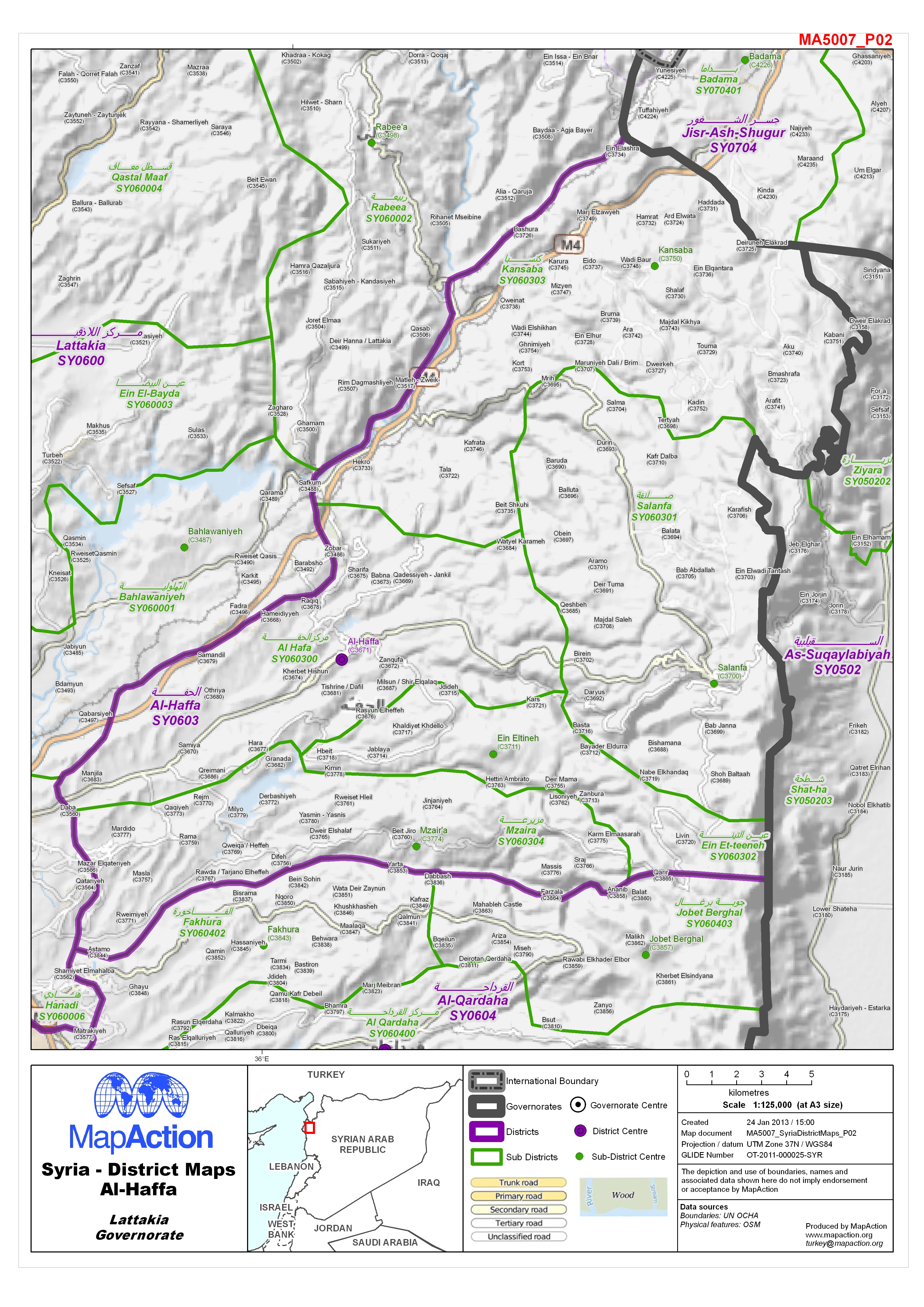
Map of Al-Haffa District in Lattakia Governorate, Syria, showing sub-district boundaries over basemap (includes District and Sub-District names in English and Arabic with P-Codes)
Source: Syria - District Maps: Al-Haffa District in Lattakia Governorate
Additional Information
| Field | Value |
|---|---|
| Data last updated | July 4, 2016 |
| Metadata last updated | July 4, 2016 |
| Created | July 4, 2016 |
| Format | JPEG |
| License | License not specified |
| Has views | True |
| Id | 17a91583-82ba-452c-9121-d1d19485d3eb |
| On same domain | True |
| Package id | 395df70b-5dc6-448e-a39d-913e5e1cad5e |
| Revision id | 751cd701-935c-45a4-b5dc-57a2d5ed705b |
| State | active |
| Url type | upload |