2758.jpg
From the dataset abstract
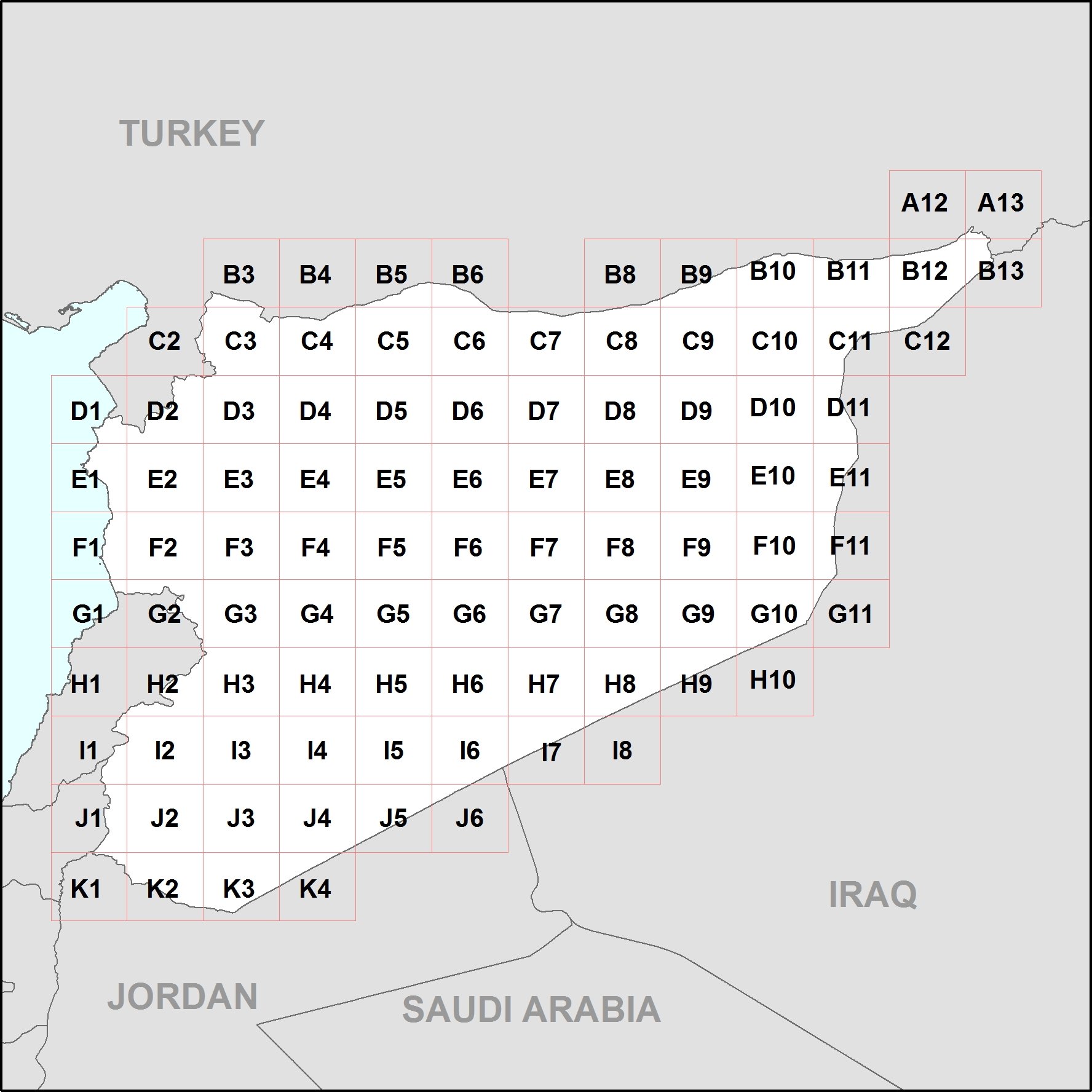
The follow is a P-code atlas of Syria, containing 95 maps at 1:200,000 showing administrative boundaries (Mohafaza - Level 1, Mantika - level 2 and Nahaya - Level 3) and settlements....
Source: P-code Atlas of Syria (English)
Additional Information
| Field | Value |
|---|---|
| Data last updated | July 4, 2016 |
| Metadata last updated | July 4, 2016 |
| Created | July 4, 2016 |
| Format | JPEG |
| License | License not specified |
| Has views | True |
| Id | dc7db4fc-799f-43c5-bd13-8fc9089a710b |
| On same domain | True |
| Package id | abdd0045-070f-4e58-aeec-cfe3b6c582ce |
| Position | 2 |
| Revision id | b0660f7e-6322-4235-8d12-dc69b1e4740f |
| State | active |
| Url type | upload |