2567.jpg
From the dataset abstract
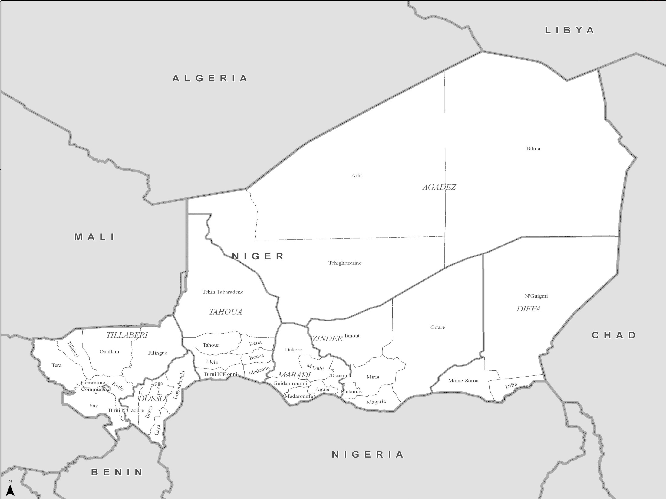
PowerPoint maps illustrating level 1 and level 2 administrative boundaries and transport links - click link to download - Sahel Crisis: PowerPoint Map Niger
Additional Information
| Field | Value |
|---|---|
| Data last updated | July 4, 2016 |
| Metadata last updated | July 4, 2016 |
| Created | July 4, 2016 |
| Format | JPEG |
| License | License not specified |
| Has views | True |
| Id | 776bc212-618a-45ff-bd7d-31962d6e871d |
| On same domain | True |
| Package id | 67d91138-4b09-467d-9ace-fcf95342782a |
| Position | 1 |
| Revision id | 286de8d2-bcd6-440e-b76a-67d01305e811 |
| State | active |
| Url type | upload |