2562.jpg
From the dataset abstract
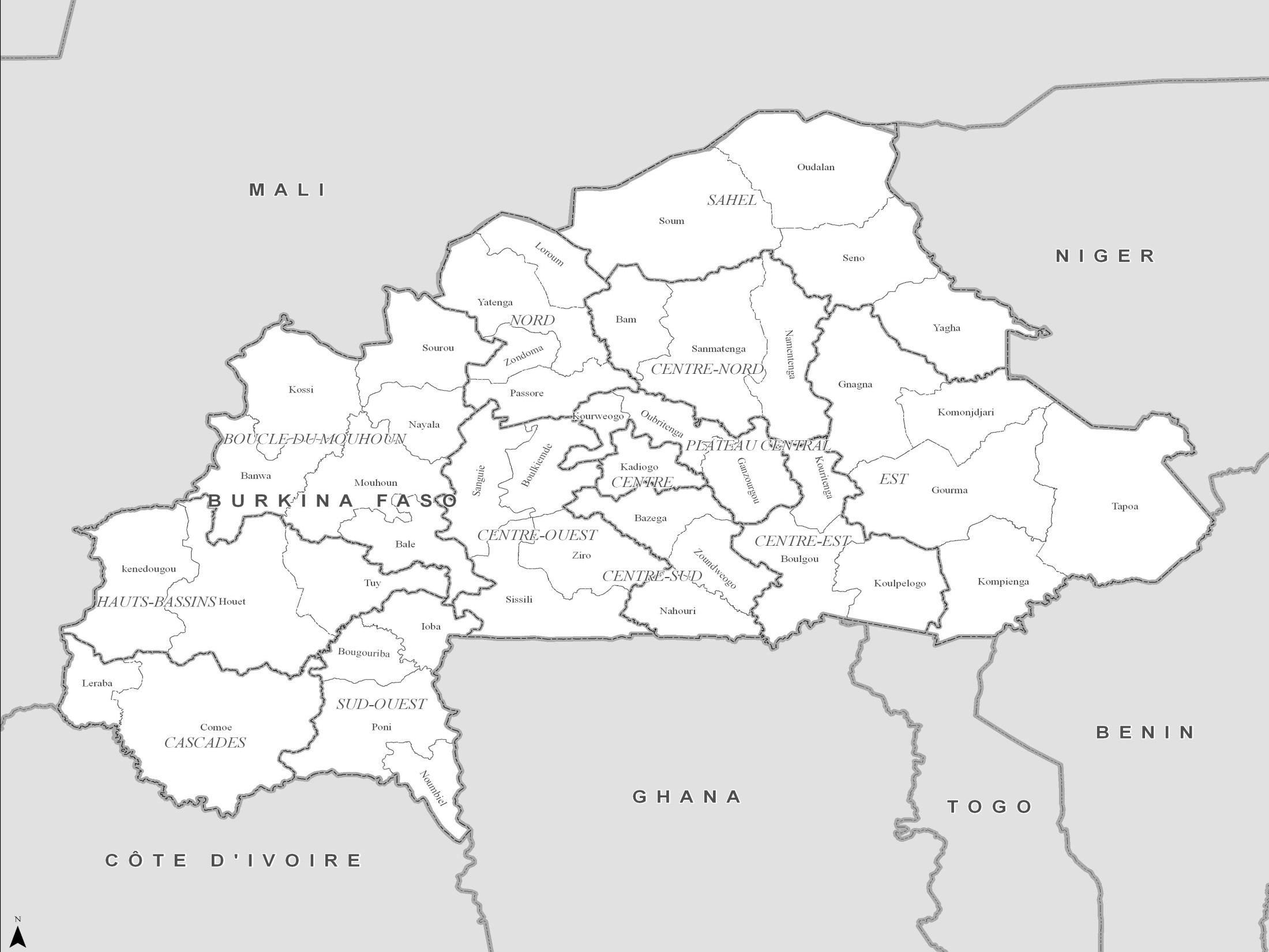
PowerPoint maps illustrating level 1 and level 2 administrative boundaries and transport links - click link to download - Sahel Crisis: PowerPoint Map Burkina Faso
Additional Information
| Field | Value |
|---|---|
| Data last updated | July 4, 2016 |
| Metadata last updated | July 4, 2016 |
| Created | July 4, 2016 |
| Format | JPEG |
| License | License not specified |
| Has views | True |
| Id | 9f0bc78b-b873-4c38-960a-59c021f3b48e |
| On same domain | True |
| Package id | d6bbbcab-4a6a-430e-99ca-8aabb8ec41d4 |
| Position | 1 |
| Revision id | 4b73fe28-aa7f-44c0-a42e-355486b2b9ed |
| State | active |
| Url type | upload |