MA017-v02-vct--grenadines-health_districts-300d ...
From the dataset abstract
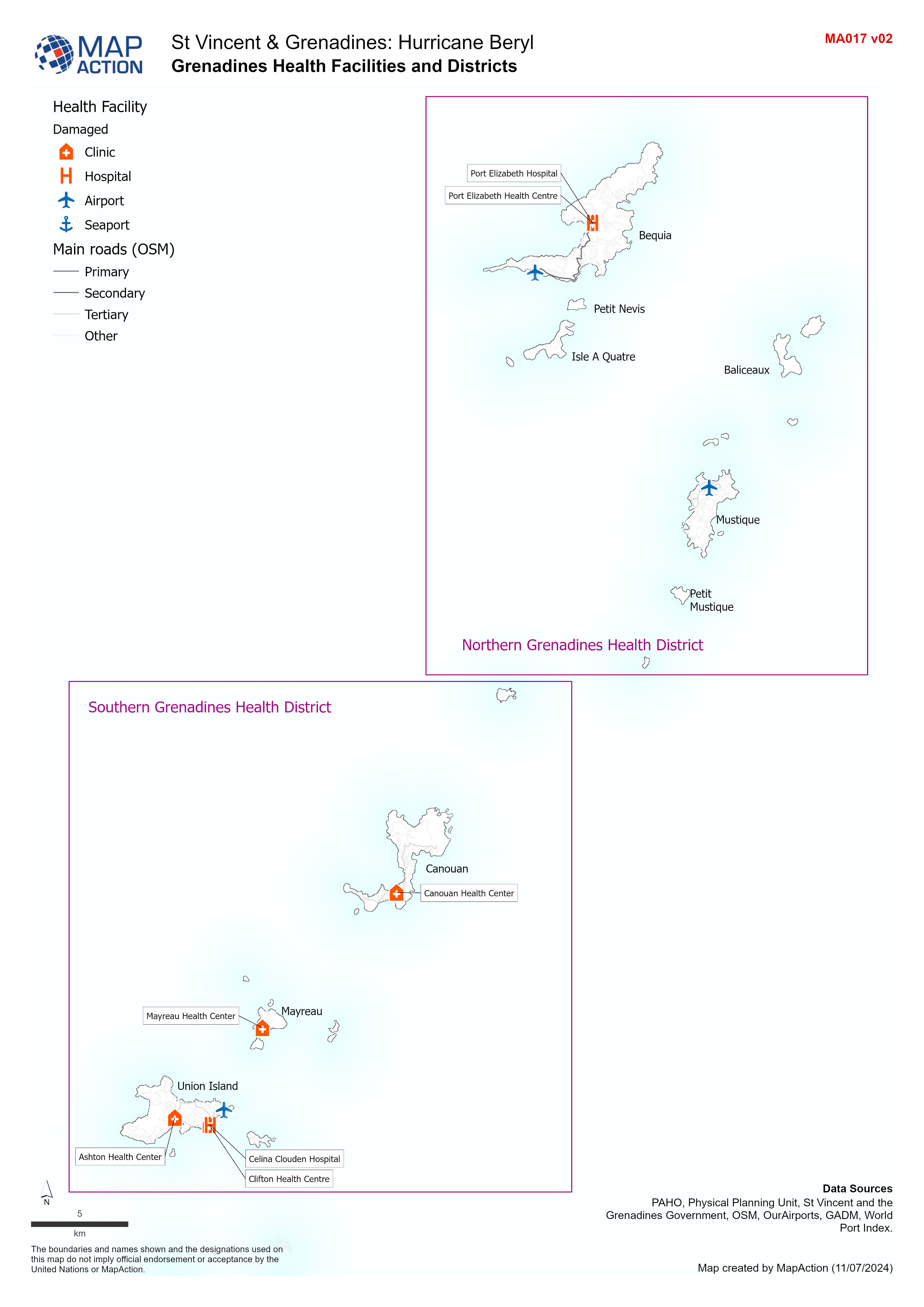
Overview map of the Grenadines showing Health Facilities, Districts and major roads.
Additional Information
| Field | Value |
|---|---|
| Data last updated | July 11, 2024 |
| Metadata last updated | July 11, 2024 |
| Created | July 11, 2024 |
| Format | JPEG |
| License | License not specified |
| Has views | True |
| Id | e8f13863-37fd-44fc-baec-3cb88e6eff4d |
| Mimetype | image/jpeg |
| On same domain | True |
| Package id | 21a809a0-34dd-4489-8e1b-21558ba192ba |
| Position | 1 |
| Revision id | eae82a46-b3ea-4929-a401-8b817a7ec4bf |
| Size | 941.8 KiB |
| State | active |
| Url type | upload |