MA007-v01-vct-canouan-overview-300dpi.jpg
From the dataset abstract
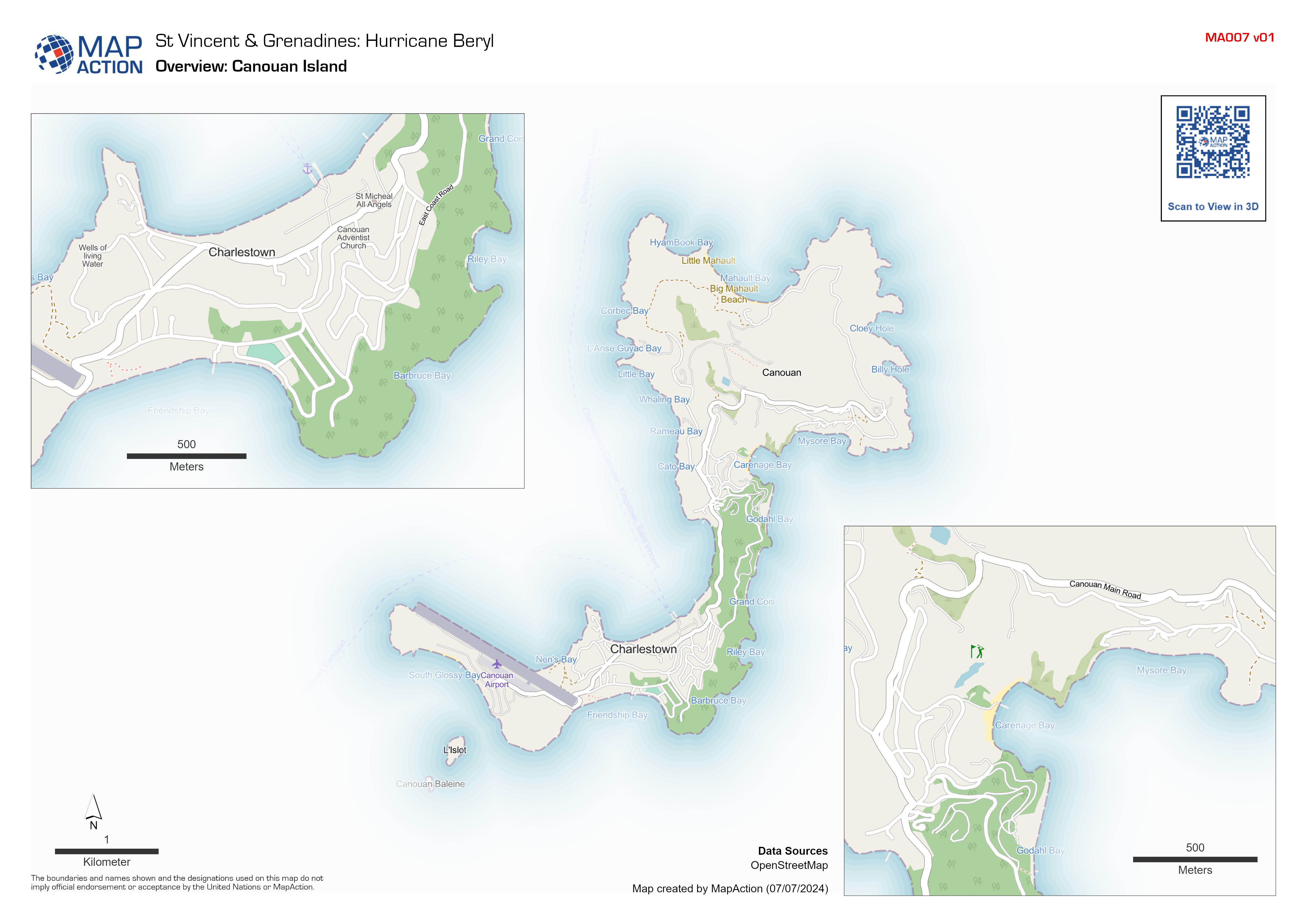
Overview map of Canouan Island, Saint Vincent and the Grenadines.
Source: Overview: Canouan Island
Additional Information
| Field | Value |
|---|---|
| Data last updated | July 7, 2024 |
| Metadata last updated | July 7, 2024 |
| Created | July 7, 2024 |
| Format | JPEG |
| License | License not specified |
| Has views | True |
| Id | 606d8bf3-8c14-4a3c-b7b6-6701dae65e46 |
| Mimetype | image/jpeg |
| On same domain | True |
| Package id | 9b6309cd-1f06-4e10-9e56-a9ebd4176cfd |
| Position | 1 |
| Revision id | 2dbaf8a6-125c-434a-bc5b-df342697bc67 |
| Size | 1.1 MiB |
| State | active |
| Url type | upload |