MA018_v7 ShelterStatus_Carriacou-300dpi.jpg
From the dataset abstract
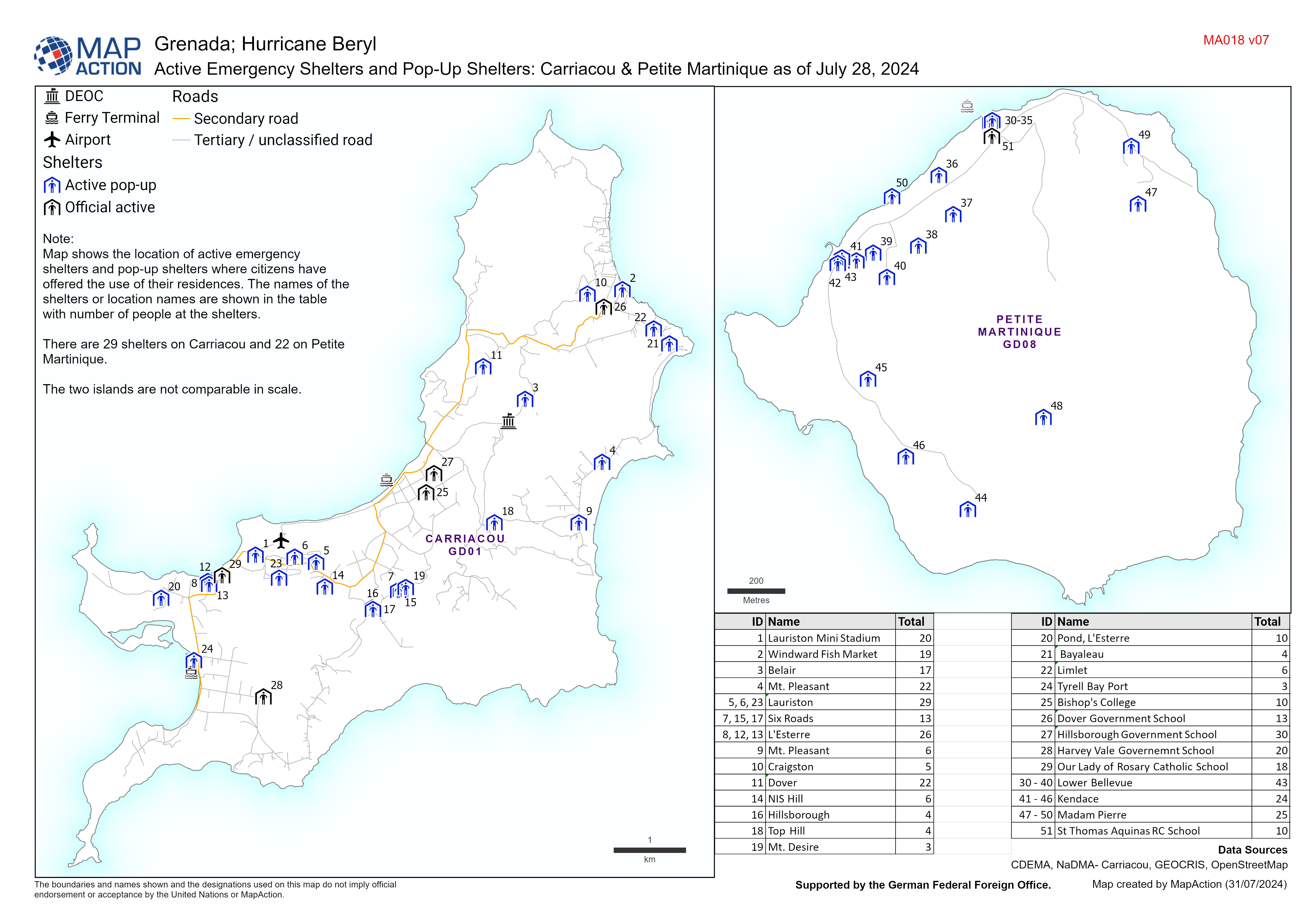
Map displaying active emergency shelters and pop-up shelters in Carriacou/Petite Martinique. The names of the shelters or location names are also shown.
Source: Active Emergency Shelters and Pop-Up Shelters: Carriacou & Petite Martinique as of July 28, 2024
Additional Information
| Field | Value |
|---|---|
| Data last updated | July 31, 2024 |
| Metadata last updated | July 31, 2024 |
| Created | July 31, 2024 |
| Format | JPEG |
| License | License not specified |
| Has views | True |
| Id | 49dc37a3-9858-4088-9ffb-d2a479c9cc18 |
| Mimetype | image/jpeg |
| On same domain | True |
| Package id | e4f3b37f-174f-4e0a-a89e-ca9048f0aabe |
| Position | 1 |
| Revision id | 47b8f299-e323-404c-9c1c-91178ea7171a |
| Size | 1.3 MiB |
| State | active |
| Url type | upload |