MA012_v01_Gender_Ratio_by_Districts-300dpi.jpg
From the dataset abstract
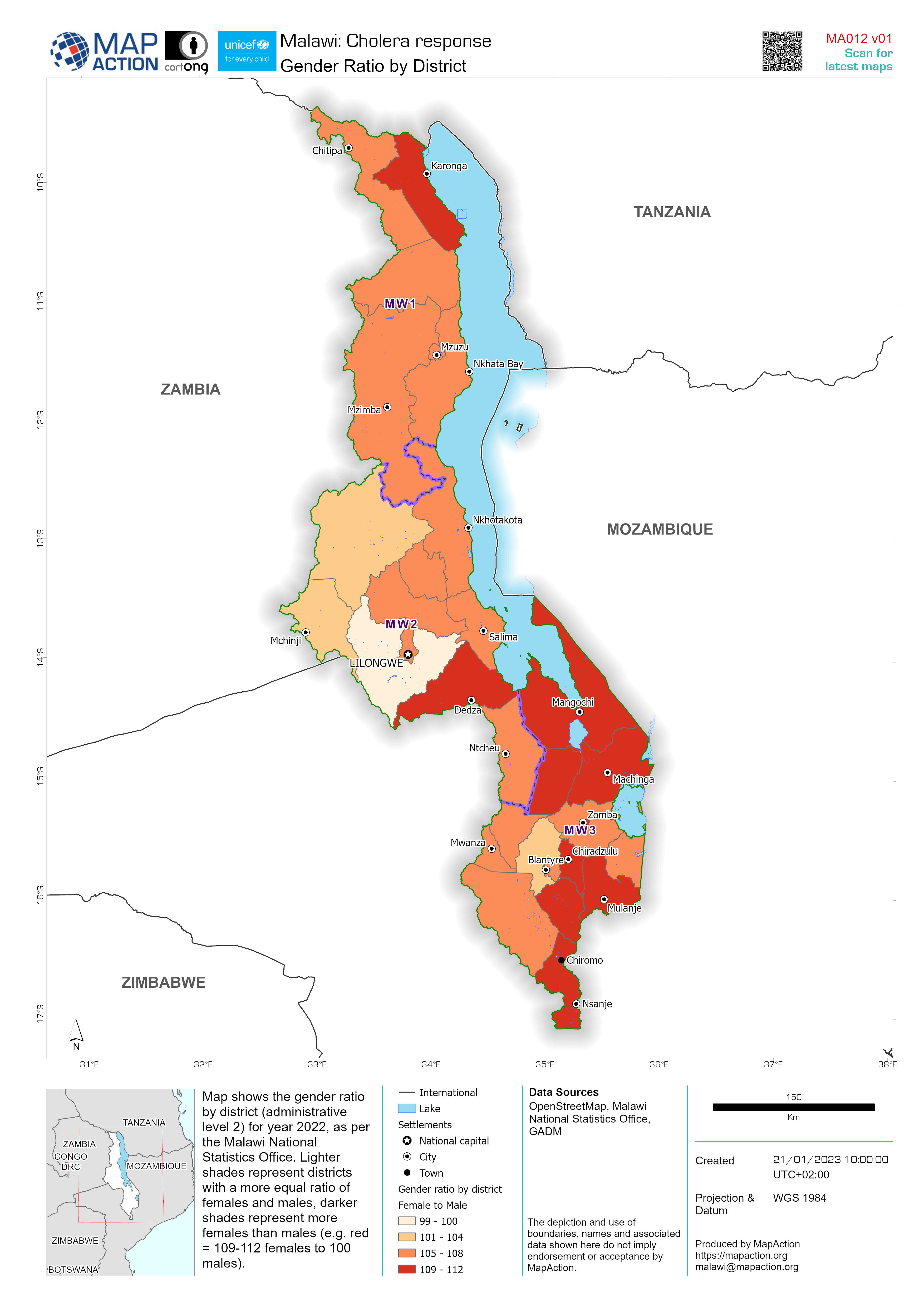
Map shows the gender ratio by district (administrative level 2) for year 2022, as per the Malawi National Statistics Office. Lighter shades represent districts with a more equal ratio of...
Source: Gender Ratio by District
Additional Information
| Field | Value |
|---|---|
| Data last updated | January 24, 2023 |
| Metadata last updated | January 24, 2023 |
| Created | January 24, 2023 |
| Format | JPEG |
| License | License not specified |
| Has views | True |
| Id | 8f735fba-dacd-4609-b97e-4995eb9fea1e |
| Mimetype | image/jpeg |
| On same domain | True |
| Package id | 34f2d2a1-9694-4fb3-8d15-c52584c5e27b |
| Revision id | 996f9e64-a0df-4212-a685-b1ad593cd1e9 |
| Size | 1.1 MiB |
| State | active |
| Url type | upload |