MA001-v01-mar-country-overview-with-elevation-3 ...
From the dataset abstract
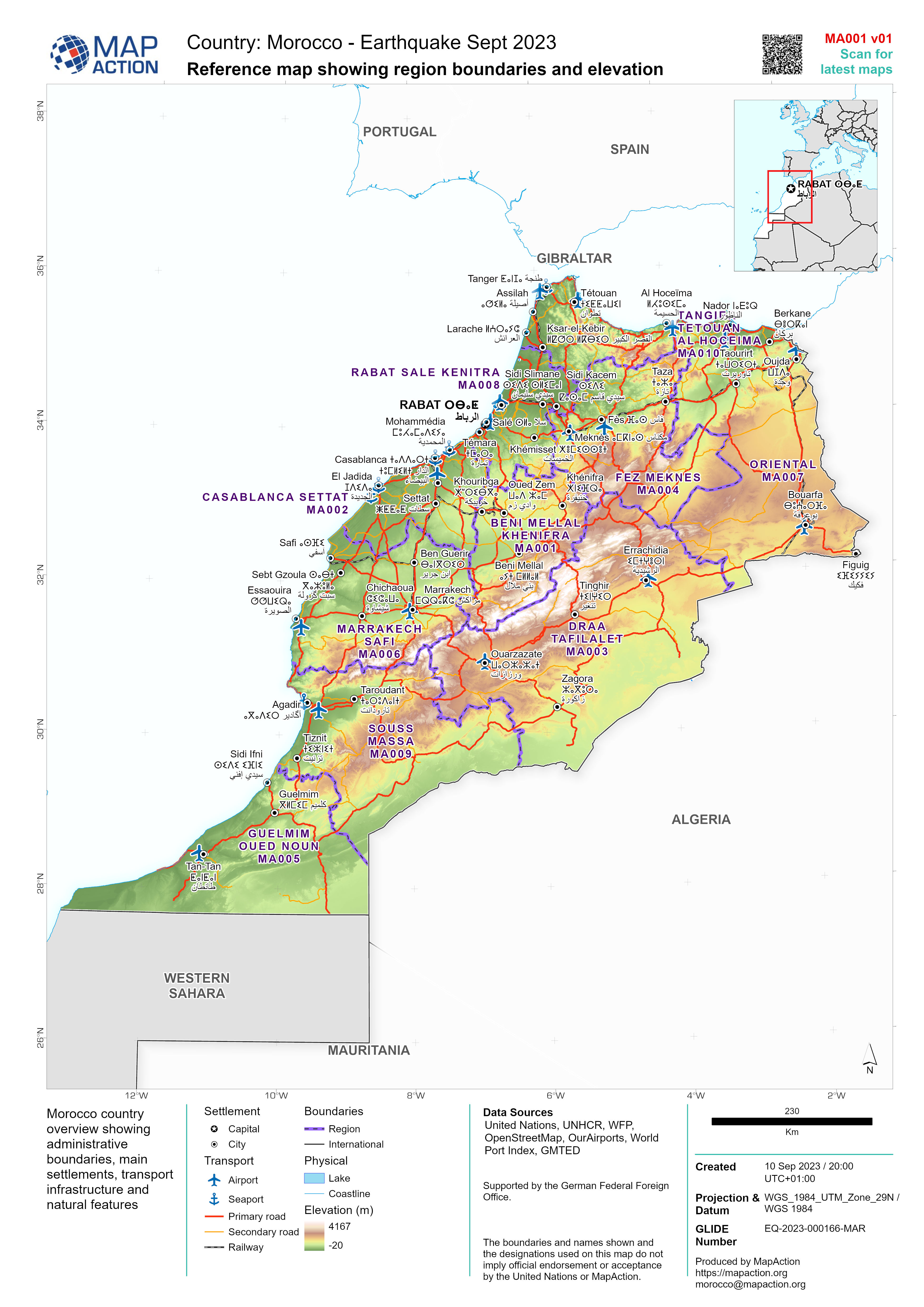
Morocco country overview showing administrative boundaries, main settlements, transport infrastructure and natural features
Source: Reference map showing region boundaries and elevation
Additional Information
| Field | Value |
|---|---|
| Data last updated | September 12, 2023 |
| Metadata last updated | September 12, 2023 |
| Created | September 12, 2023 |
| Format | JPEG |
| License | License not specified |
| Has views | True |
| Id | aa2a9916-504c-4533-ae25-d0db8f11c2ba |
| Mimetype | image/jpeg |
| On same domain | True |
| Package id | 48a7db76-d901-4819-a658-8326a7bad4ed |
| Revision id | ad5b0ebf-61e2-4397-bff0-ad2c6d2c5df5 |
| Size | 1.9 MiB |
| State | active |
| Url type | upload |