MA012 - Shelter Location and Status ...
From the dataset abstract
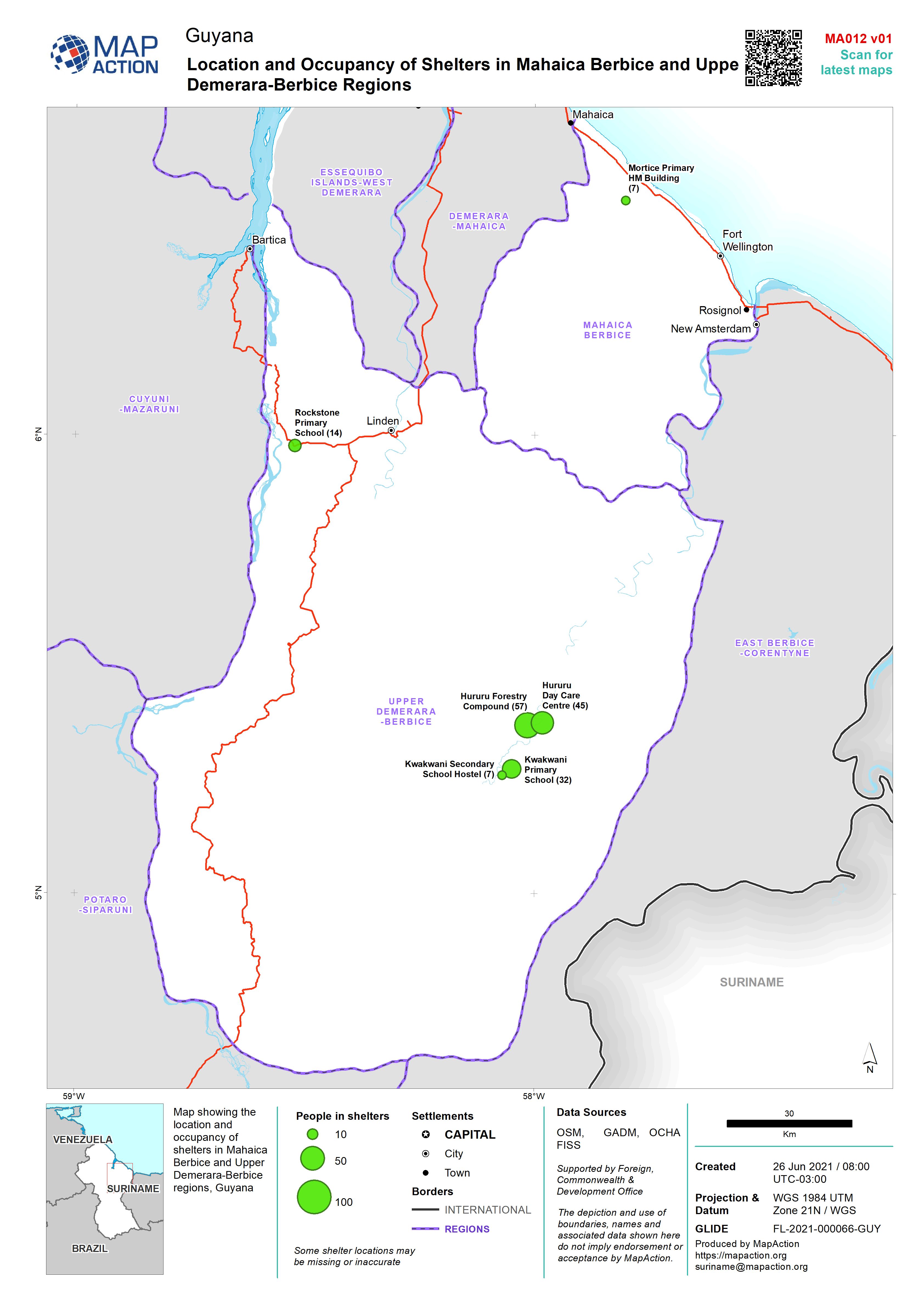
Map showing the location and occupancy of shelters in Mahaica Berbice and Upper Demerara-Berbice regions, Guyana
Source: Location and Occupancy of Shelters in Mahaica Berbice and Upper Demerara-Berbice Regions
Additional Information
| Field | Value |
|---|---|
| Data last updated | June 26, 2021 |
| Metadata last updated | June 26, 2021 |
| Created | June 26, 2021 |
| Format | JPEG |
| License | License not specified |
| Has views | True |
| Id | c842f527-c221-4126-9bac-e7820b8f85a2 |
| Mimetype | image/jpeg |
| On same domain | True |
| Package id | 98074dc0-e3d8-4c6d-ae0c-aab1d1d090f9 |
| Revision id | bc31a7fe-807b-45ec-9bd1-fe6d3534b085 |
| Size | 958.2 KiB |
| State | active |
| Url type | upload |