giaj_topographic_sheet_584155_sakari.jpg
From the dataset abstract
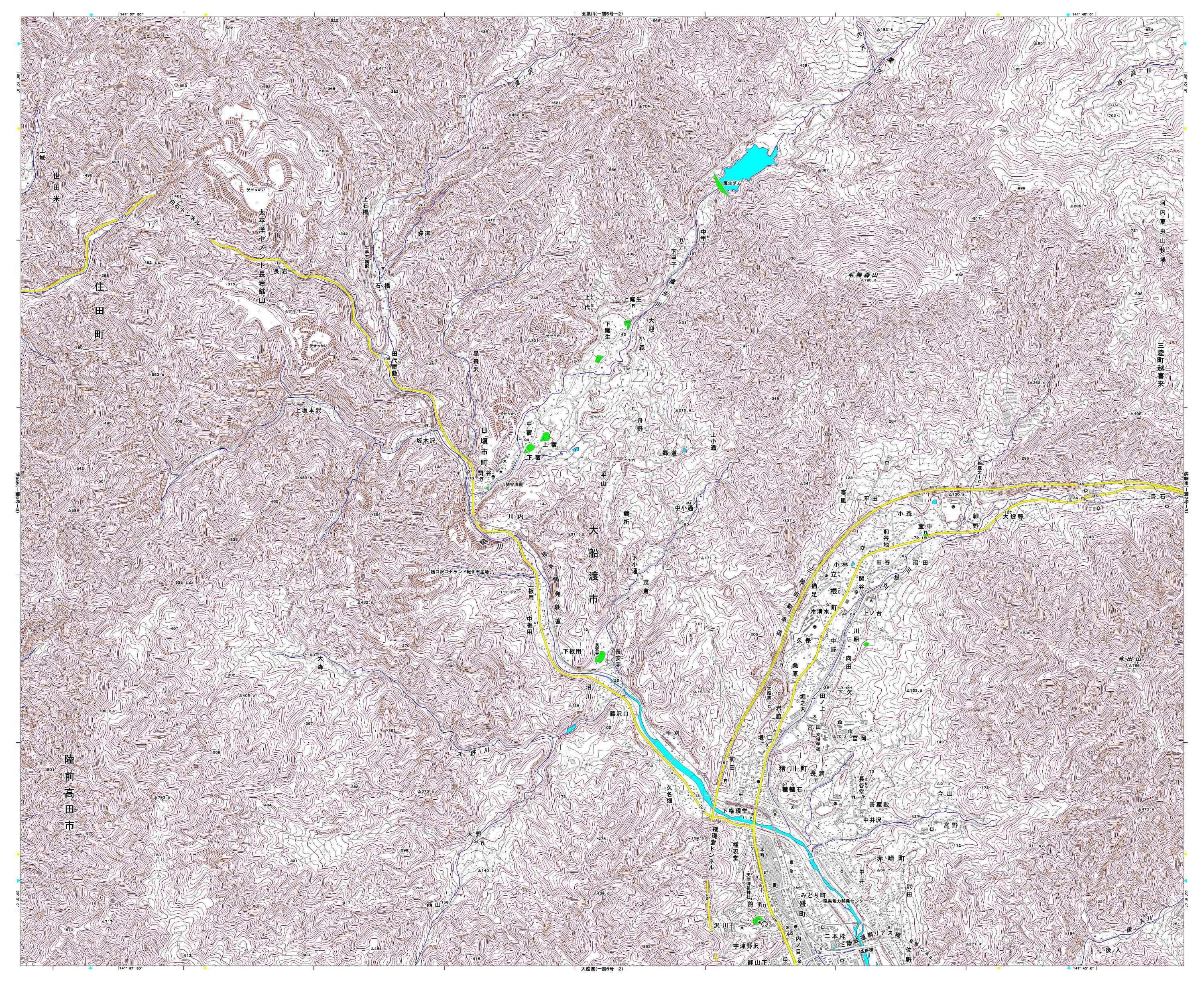
Detailed topographic mapping, scale 1:25,000. Each sheet covers approximately 11 x 9 km. For use only in disaster relief activities, by kind permission of Geospatial Information Authority...
Source: Japan Earthquake: 1:25,000 Topographic Sheet 584155 Sakari
Additional Information
| Field | Value |
|---|---|
| Data last updated | July 4, 2016 |
| Metadata last updated | July 4, 2016 |
| Created | July 4, 2016 |
| Format | JPEG |
| License | License not specified |
| Has views | True |
| Id | 6cec309c-3052-4bc0-a03f-f2a77bfdb9ae |
| On same domain | True |
| Package id | 659e1958-f631-4fc8-aa0f-96d606dc007a |
| Revision id | bdb4caae-a561-4306-af3f-fe867c40033b |
| State | active |
| Url type | upload |