MA127_hti_VillageOfMerlin_v1-300dpi.jpg
From the dataset abstract
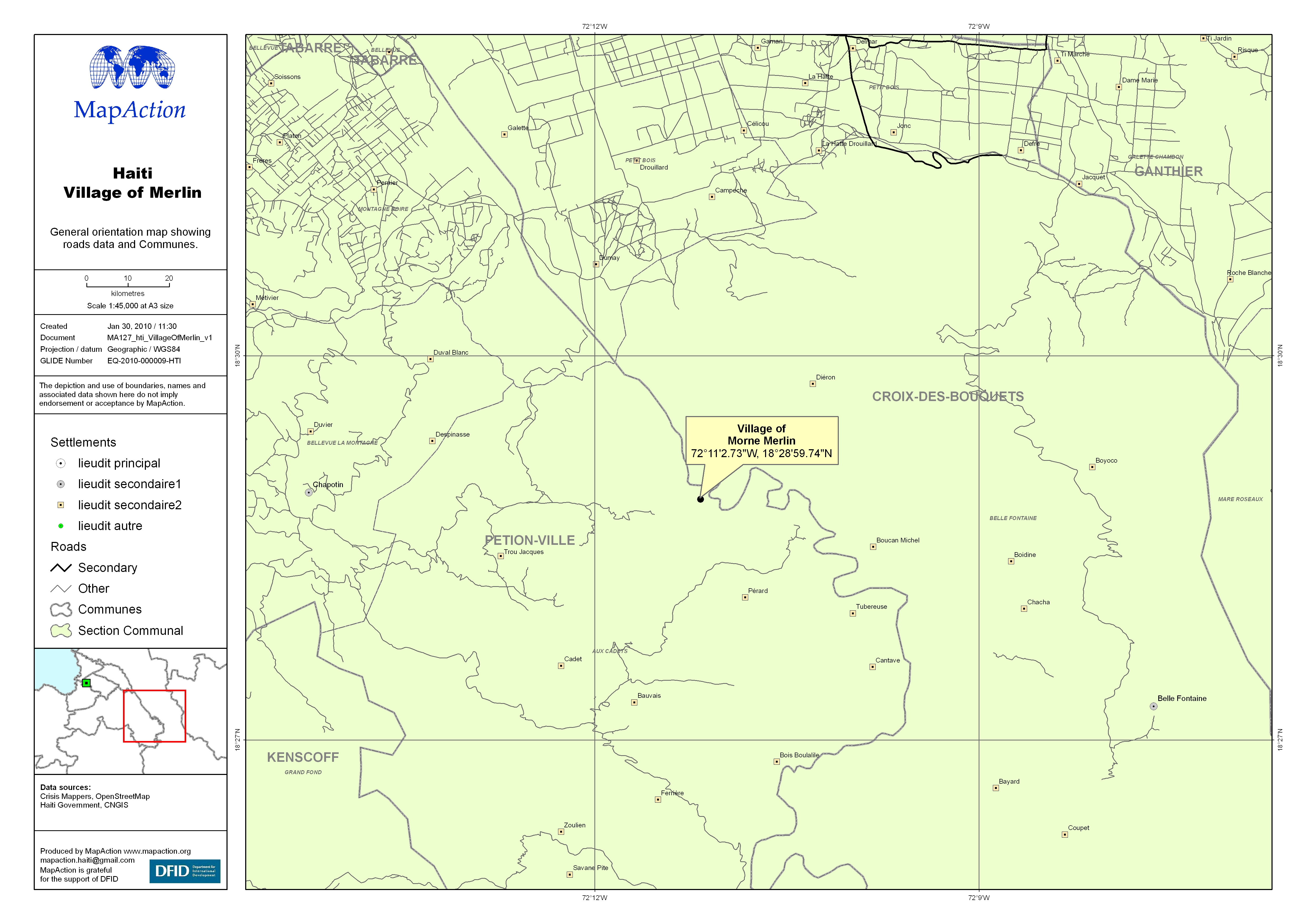
General orientation map showing roads data and Communes.
Additional Information
| Field | Value |
|---|---|
| Data last updated | July 4, 2016 |
| Metadata last updated | July 4, 2016 |
| Created | July 4, 2016 |
| Format | JPEG |
| License | License not specified |
| Has views | True |
| Id | c34acf22-9466-413a-9e18-54050e603529 |
| On same domain | True |
| Package id | e3043ea2-53b6-48af-b89f-2d134311ab82 |
| Revision id | 0ca8b725-be9c-4cfe-912f-c9d4ea76fb0f |
| State | active |
| Url type | upload |