MA104_hti_indexdetailstreets_v3_5.jpg
From the dataset abstract
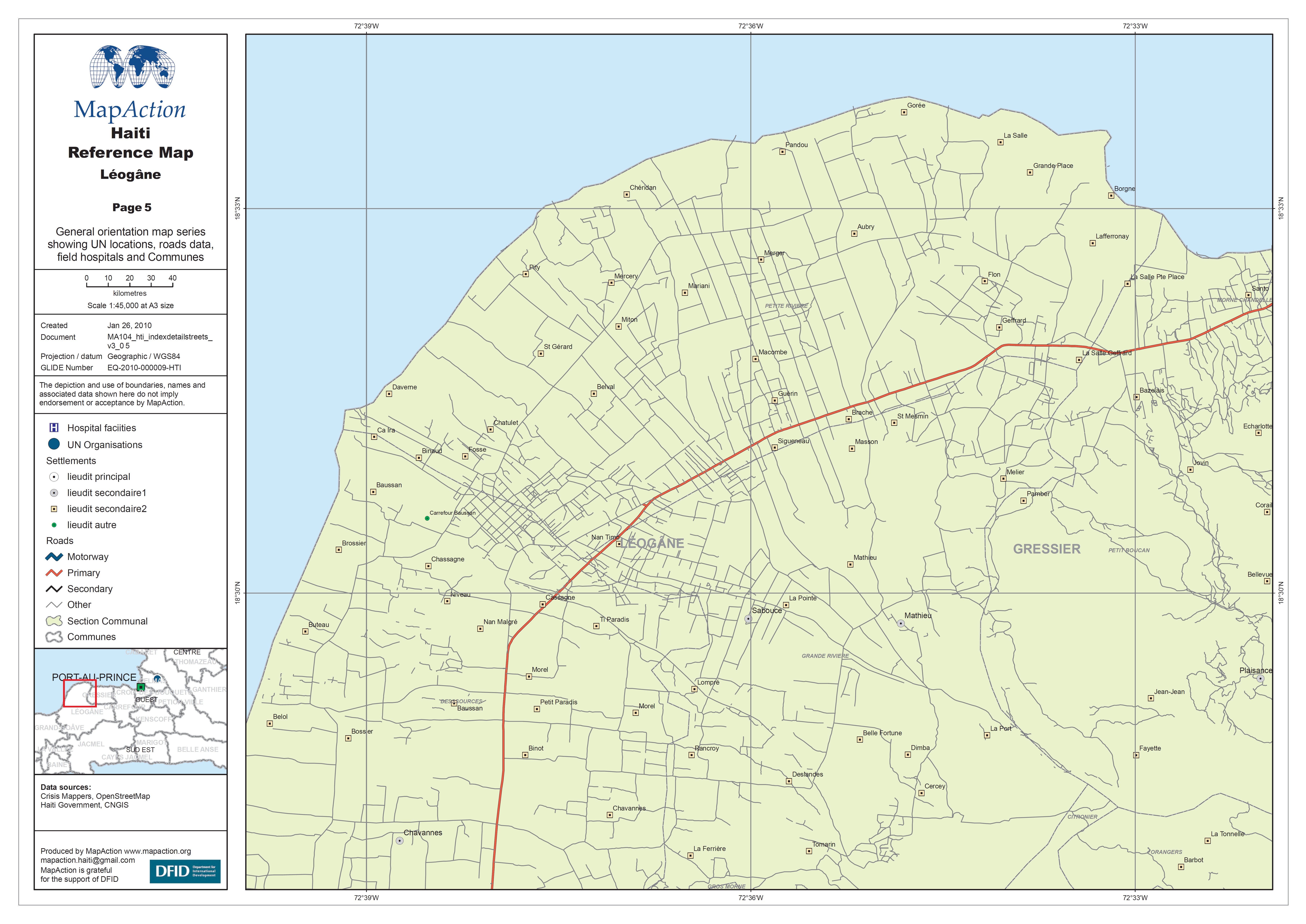
General orientation map series showing UN locations, roads data, field hospitals and Communes.
Source: Haiti Reference Map - Léogâne
Additional Information
| Field | Value |
|---|---|
| Data last updated | July 4, 2016 |
| Metadata last updated | July 4, 2016 |
| Created | July 4, 2016 |
| Format | JPEG |
| License | License not specified |
| Has views | True |
| Id | 106871ec-07aa-454b-9961-7da78d4ae3af |
| On same domain | True |
| Package id | 26e1ab4e-fefb-4bb8-a817-bd5d1d4e6448 |
| Revision id | e7575950-3c6a-4501-b4ca-ff1d516248a8 |
| State | active |
| Url type | upload |