MA104_hti_overviewindex_v1_Leogane.jpg
From the dataset abstract
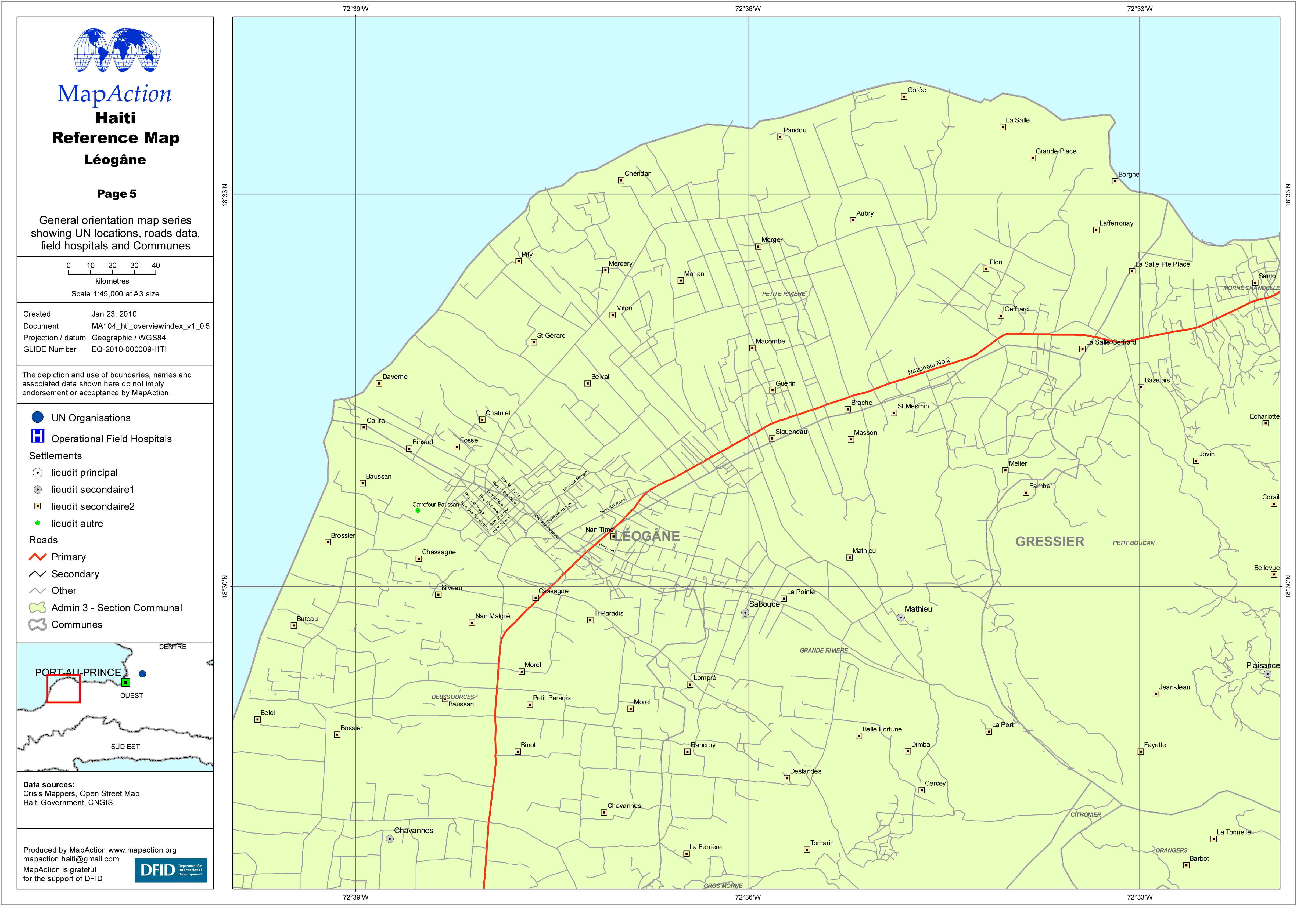
General orientation map series showing UN locations, roads data, field hospitals and Communes.
Source: Haiti Reference Map - Léogâne
Additional Information
| Field | Value |
|---|---|
| Data last updated | July 4, 2016 |
| Metadata last updated | July 4, 2016 |
| Created | July 4, 2016 |
| Format | JPEG |
| License | License not specified |
| Has views | True |
| Id | 62d928c4-3ea7-409f-81ae-202453f7b75f |
| On same domain | True |
| Package id | 56807842-036d-48ee-9cfd-7c23fbb7fb4d |
| Revision id | 31186fc1-fd25-46fc-af9a-2cd85fa737dd |
| State | active |
| Url type | upload |