MA0xx_hti_SAR_sector20-A3_v2.jpg
From the dataset abstract
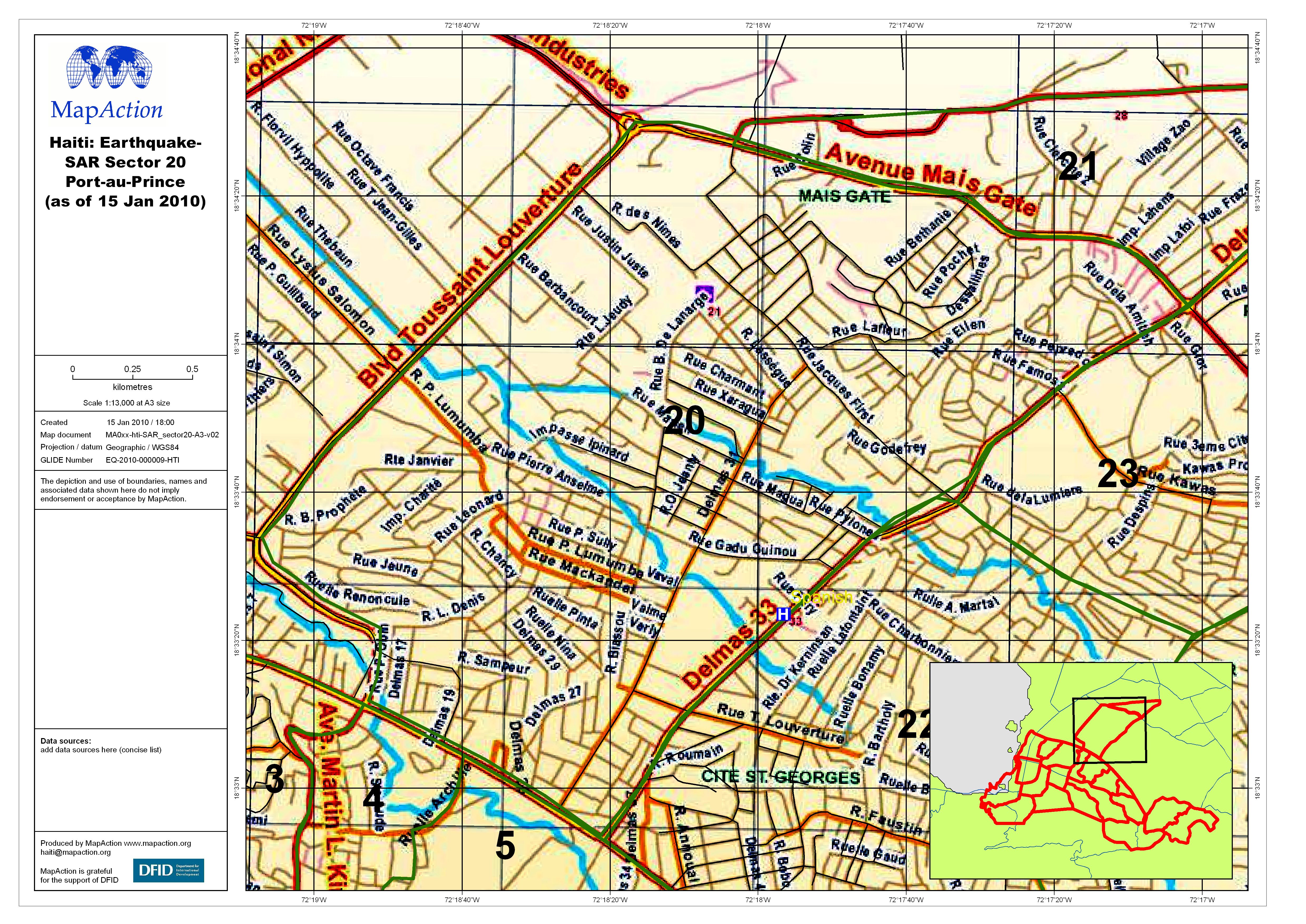
A road map of the search and rescue (SAR) zone 20 in Port-au-Prince
Additional Information
| Field | Value |
|---|---|
| Data last updated | July 4, 2016 |
| Metadata last updated | July 4, 2016 |
| Created | July 4, 2016 |
| Format | JPEG |
| License | License not specified |
| Has views | True |
| Id | 89da984d-0c79-464b-95e9-5555bf18b530 |
| On same domain | True |
| Package id | dd82782a-a93c-4a1d-9e48-0b918d7d5c6e |
| Revision id | 53ee4ad4-b309-4fce-bc0b-1de873fdef47 |
| State | active |
| Url type | upload |