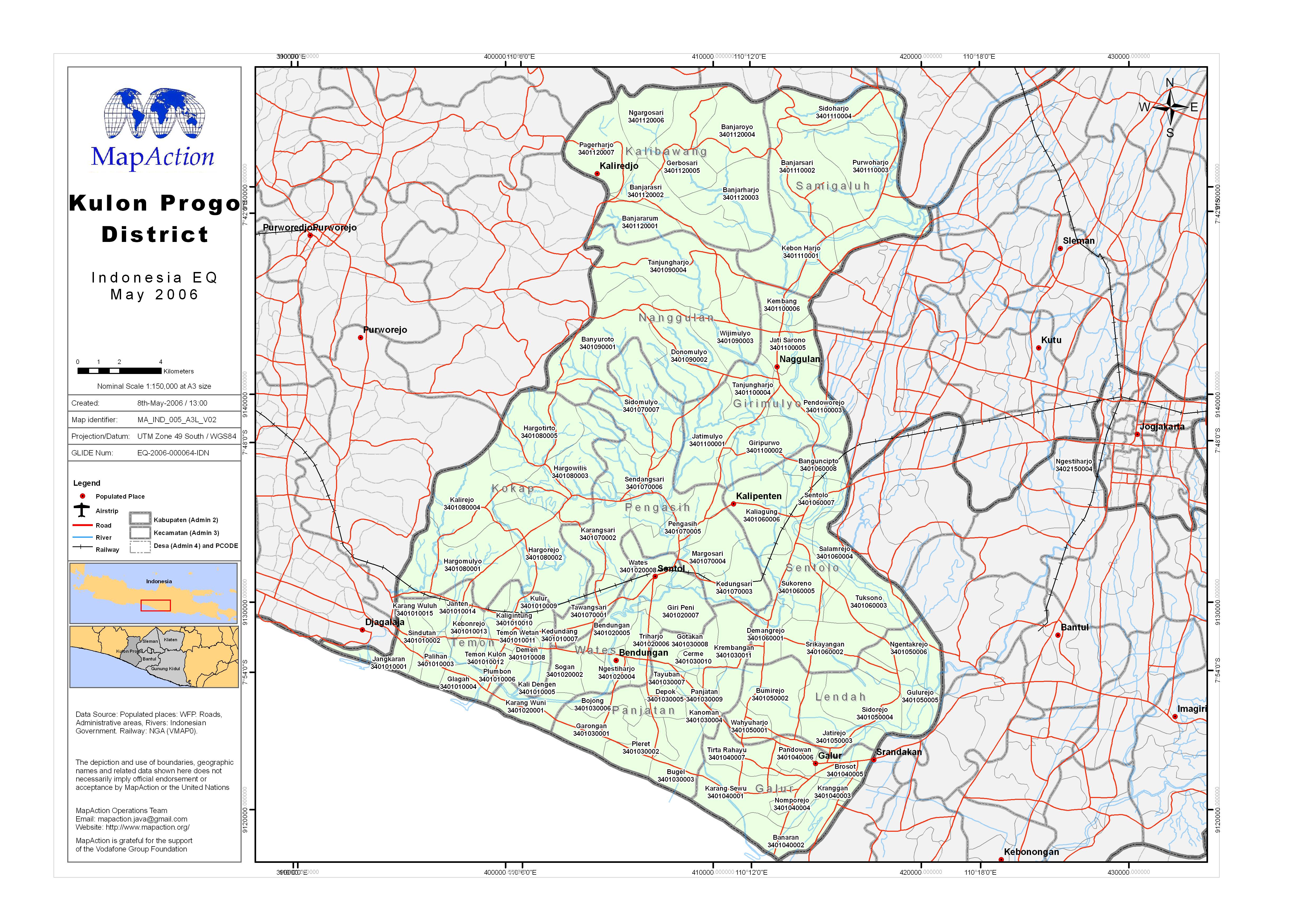
ma_idn_m005_a3l_v02_KulonProgo_hig_res.jpg
From the dataset abstract
Administrative districts, level 2 (Kabupaten), Level 3 (Kecamatan), and Level 4 (Desa) with government PCODEs.
Source: Kulon Progo District
Additional Information
| Field | Value |
|---|---|
| Data last updated | July 4, 2016 |
| Metadata last updated | July 4, 2016 |
| Created | July 4, 2016 |
| Format | JPEG |
| License | License not specified |
| Has views | True |
| Id | 52757f38-0ef2-41ca-9691-d4e39622ede7 |
| On same domain | True |
| Package id | aa98c3a7-a4be-4973-9621-5912940f4f5f |
| Revision id | b10deb1c-4e09-430d-85ee-ffa1935e87a0 |
| State | active |
| Url type | upload |
