-
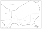
Sahel Crisis: Editable PowerPoint Map - Niger
Editable PowerPoint maps illustrating level 1 administrative boundaries - click link to download - PPT002 Sahel Crisis: PowerPoint Map - Niger -

Sahel Crisis: Editable PowerPoint Map - Mali
Editable PowerPoint maps illustrating level 1 administrative boundaries - click link to download - PPT002 Sahel Crisis: PowerPoint Map - Mali -
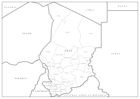
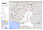
Sahel Crisis: Editable PowerPoint Map - Chad
Editable PowerPoint maps illustrating level 1 administrative boundaries - click link to download - PPT002 Sahel Crisis: PowerPoint Map - Chad -
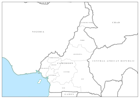
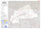
Sahel Crisis: Editable PowerPoint Map - Cameroon
Editable PowerPoint maps illustrating level 1 administrative boundaries - click link to download - PPT002 Sahel Crisis: PowerPoint Map - Cameroon -

Sahel Crisis: Editable PowerPoint Map - Burkina Faso
Editable PowerPoint maps illustrating level 1 administrative boundaries - click link to download - PPT002 Sahel Crisis: PowerPoint Map - Burkina Faso -
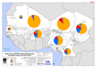
Sahel Crisis: UNICEF Funding Requirements (immediate needs until June 2012 )
UNICEF immediate priority funding requirements (January to June 2012) and population density. -

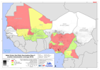
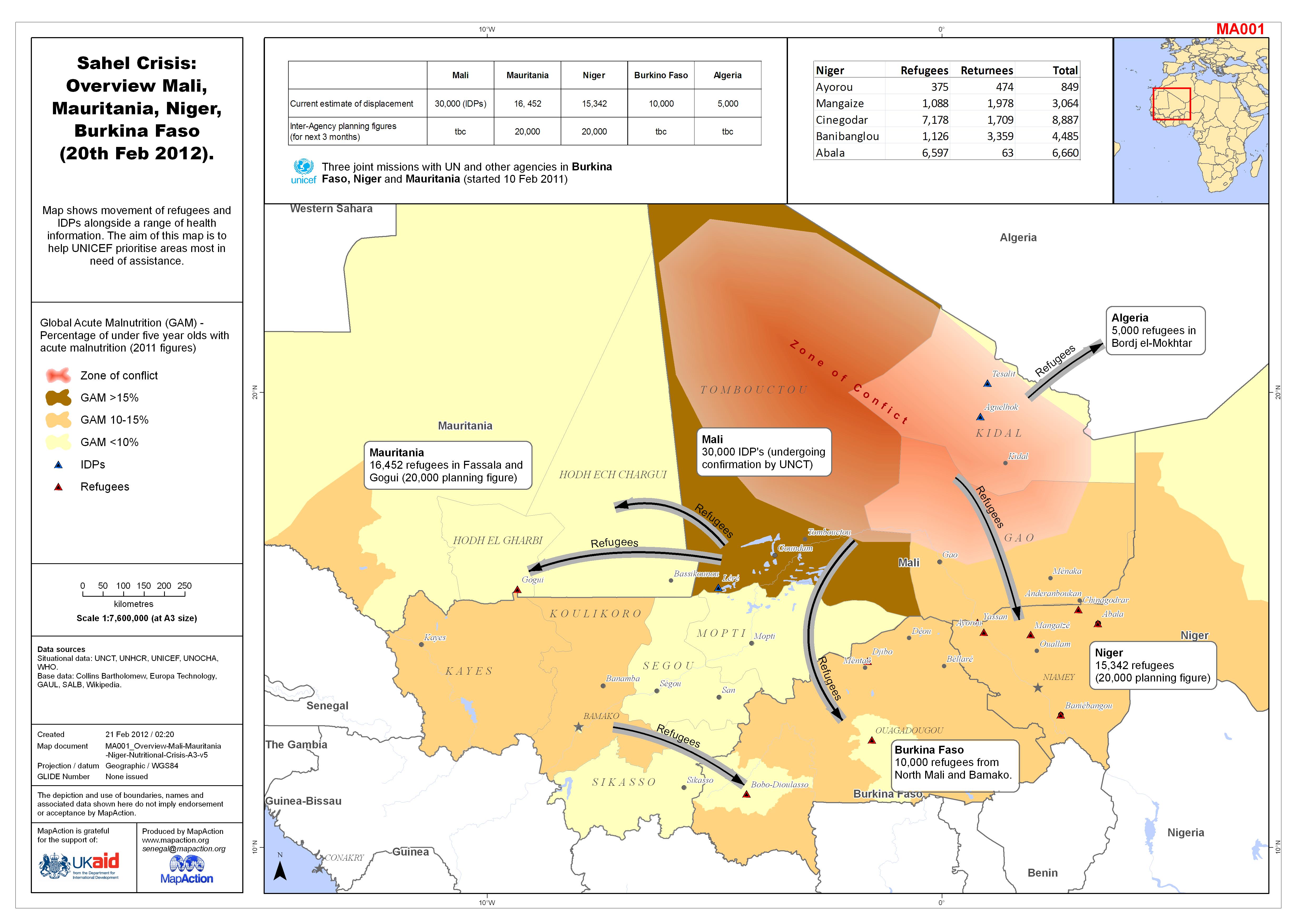
Sahel Crisis: Overview Mali, Mauritania, Niger, Burkina Faso (20th Feb 2012).
Map shows movement of refugees and IDPs alongside a range of health information. The aim of this map is to help UNICEF prioritise areas most in need of assistance. -
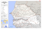
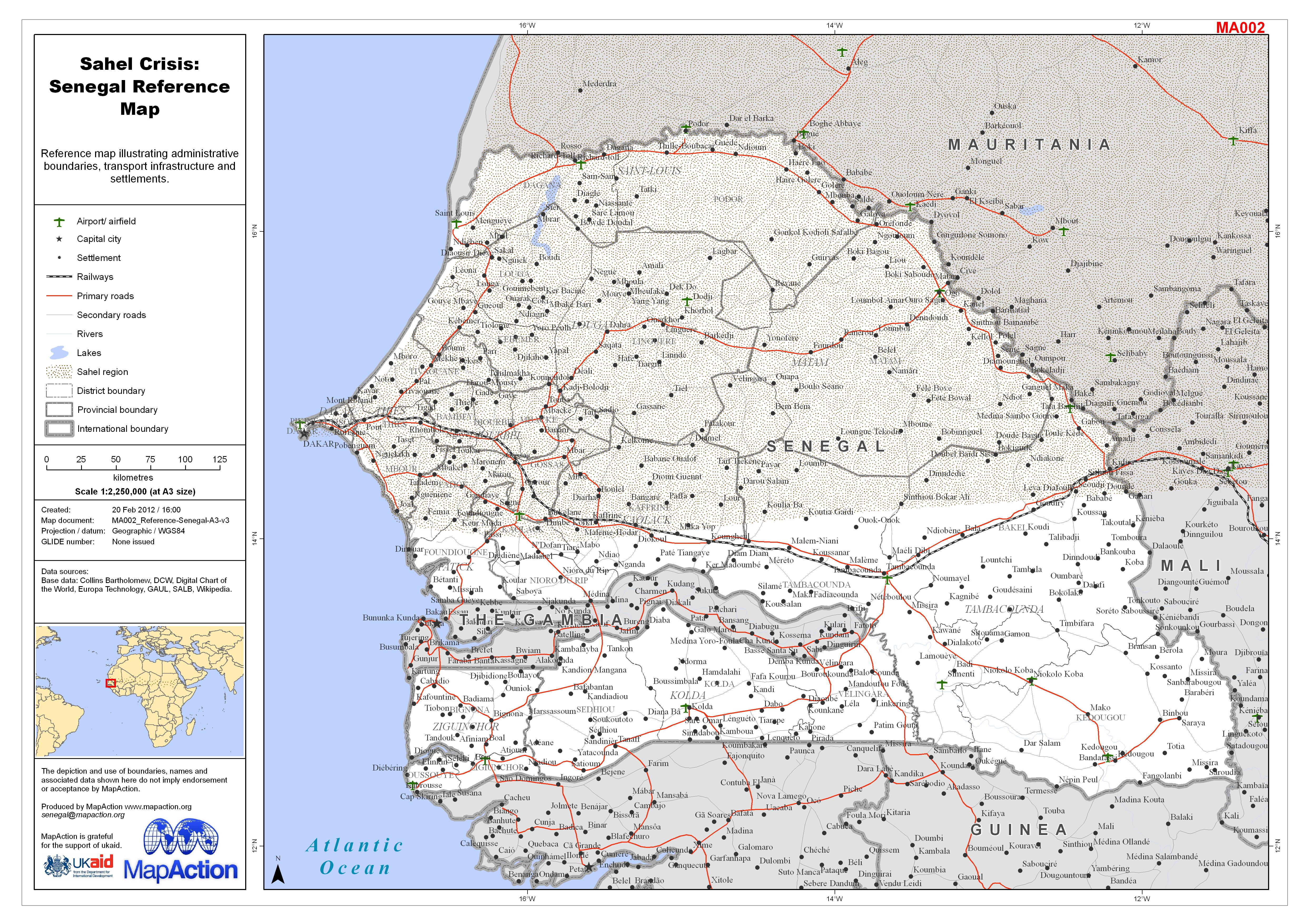
Sahel Crisis: Senegal Reference Map
Reference map illustrating administrative boundaries, transport infrastructure and settlements. -
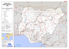
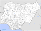
Sahel Crisis: Nigeria Reference Map
Reference map illustrating administrative boundaries, transport infrastructure and settlements. -

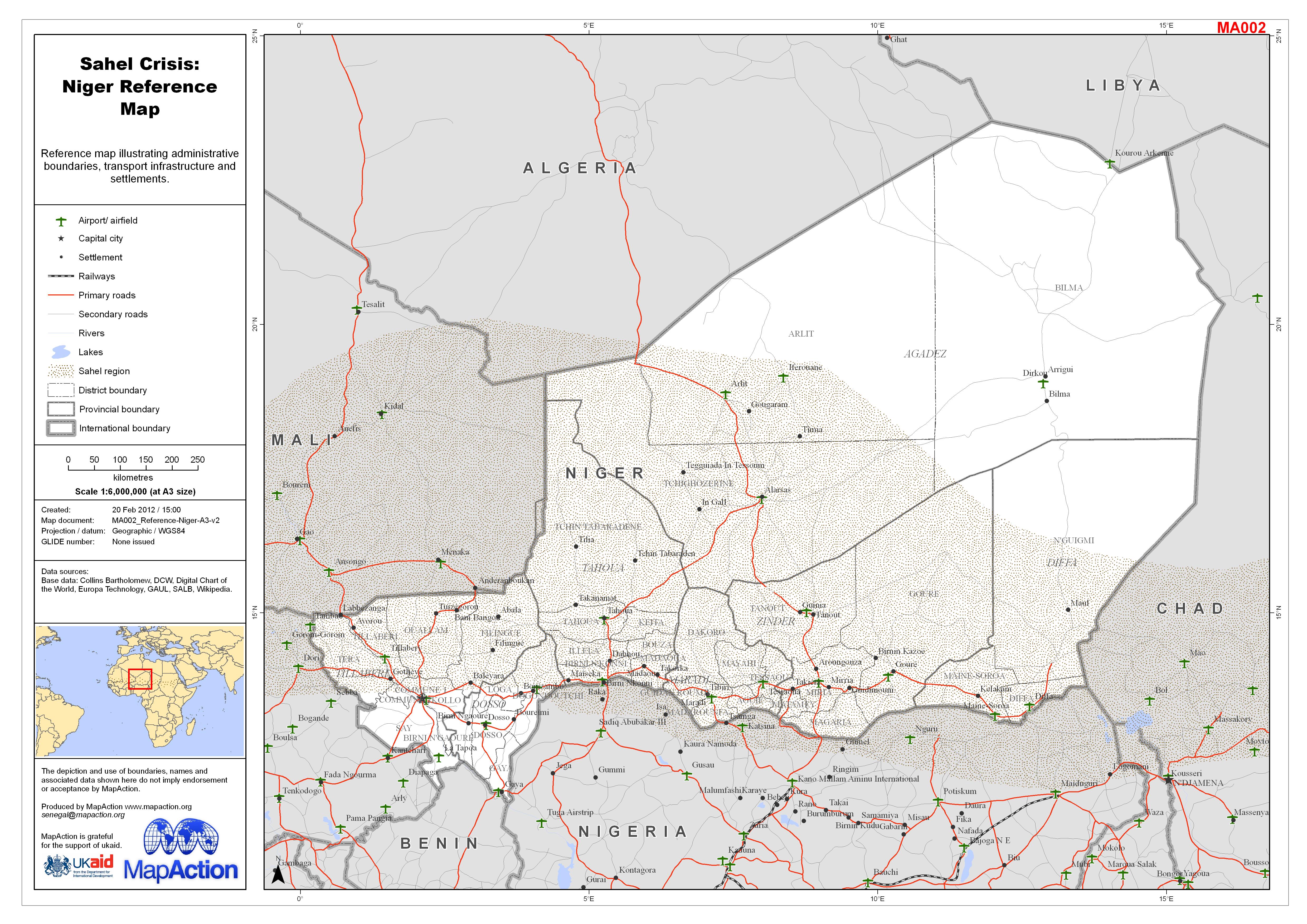
Sahel Crisis: Niger Reference Map
Reference map illustrating administrative boundaries, transport infrastructure and settlements. -

Sahel Crisis: Mauritania Reference Map
Reference map illustrating administrative boundaries, transport infrastructure and settlements. -
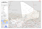
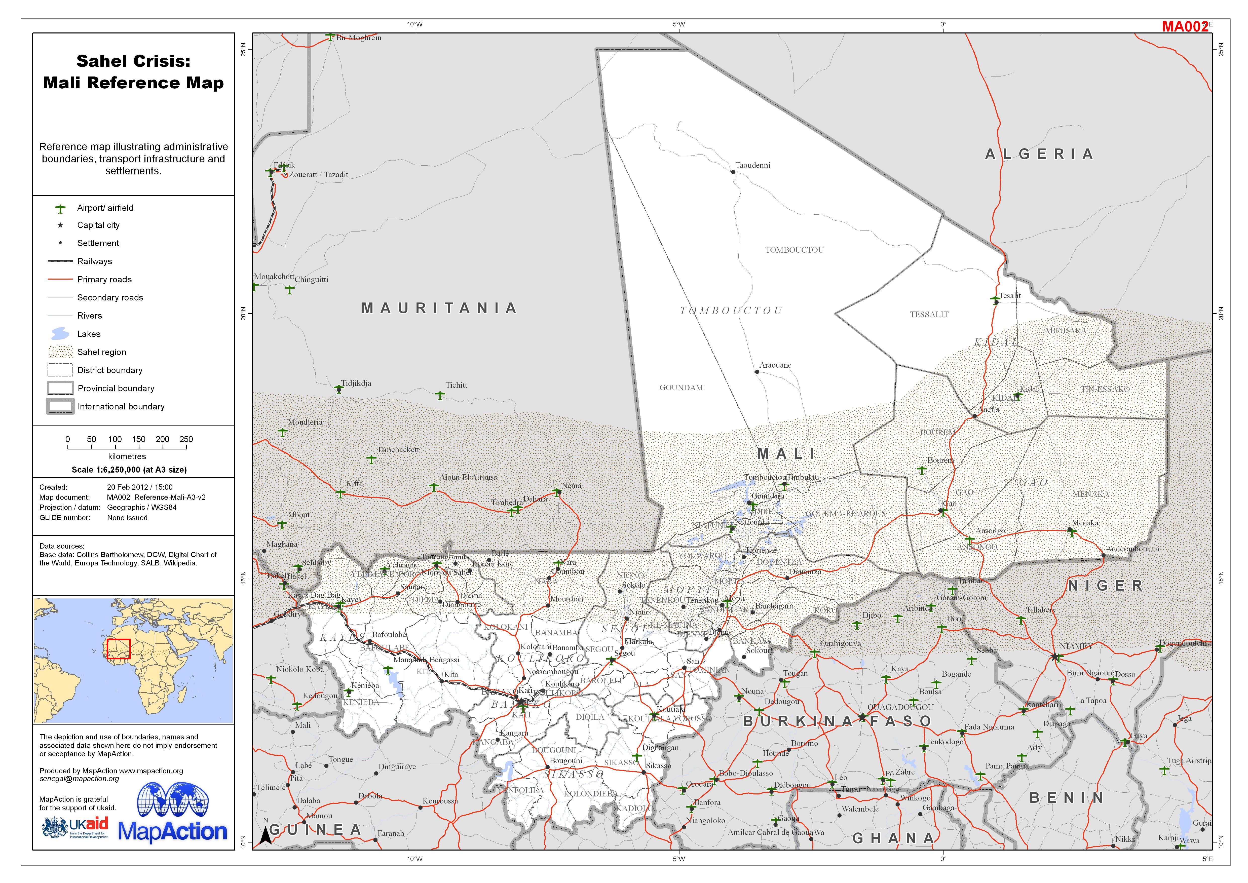
Sahel Crisis: Mali Reference Map
Reference map illustrating administrative boundaries, transport infrastructure and settlements. -
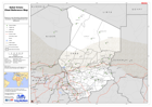
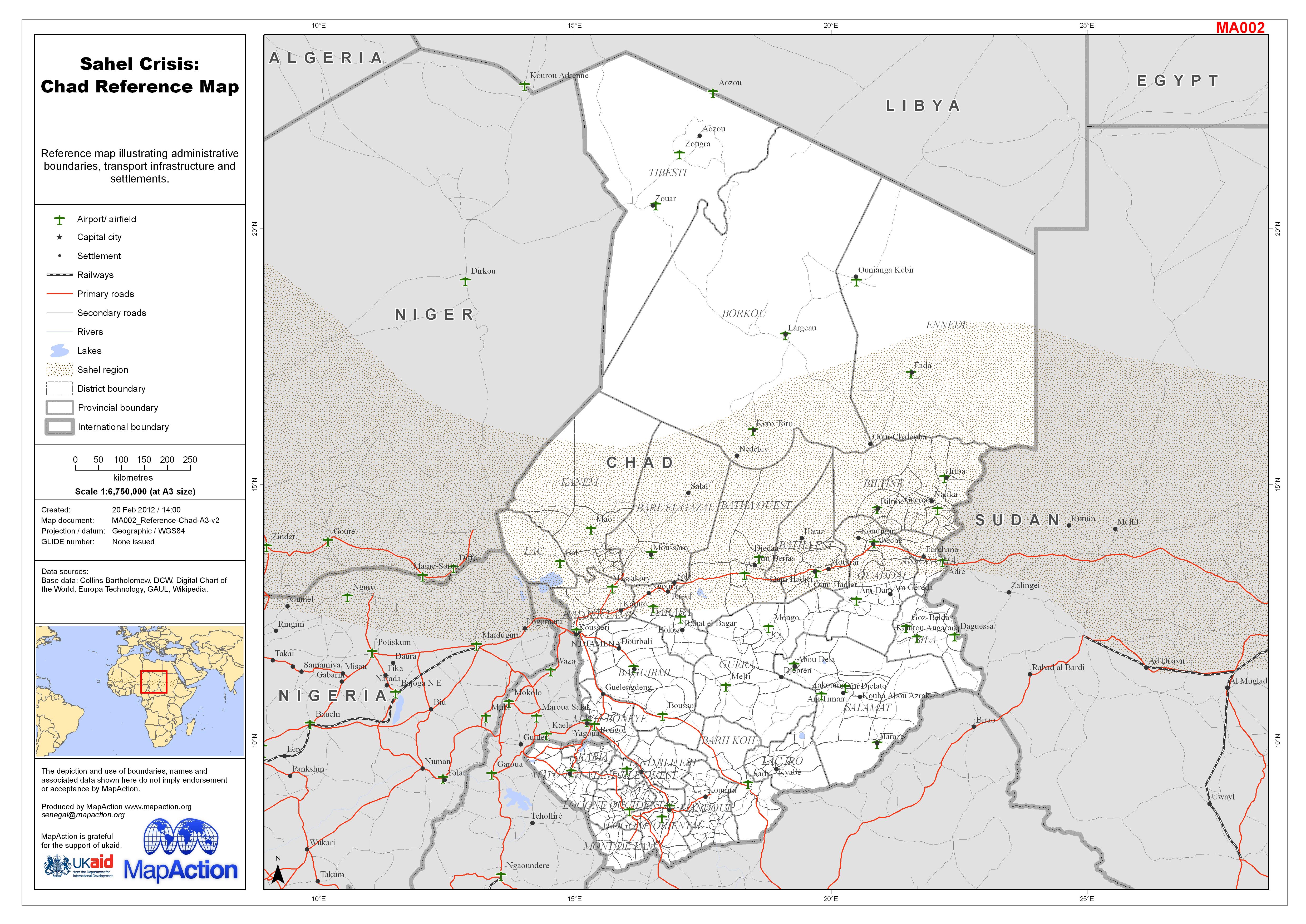
Sahel Crisis: Chad Reference Map
Reference map illustrating administrative boundaries, transport infrastructure and settlements. -
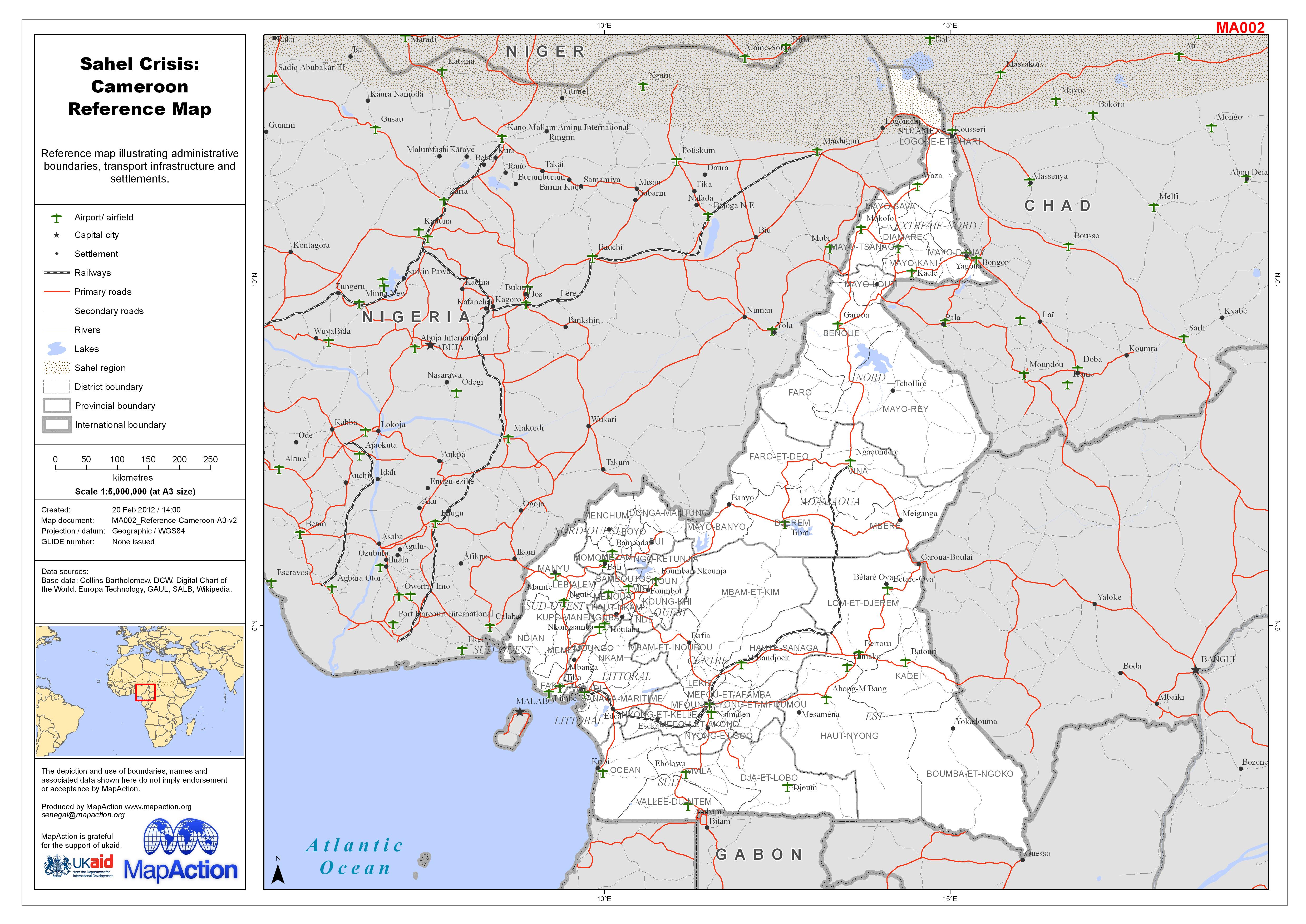
Sahel Crisis: Cameroon Reference Map
Reference map illustrating administrative boundaries, transport infrastructure and settlements. -
Sahel Crisis: Burkina Faso Reference Map
Reference map illustrating administrative boundaries, transport infrastructure and settlements. -

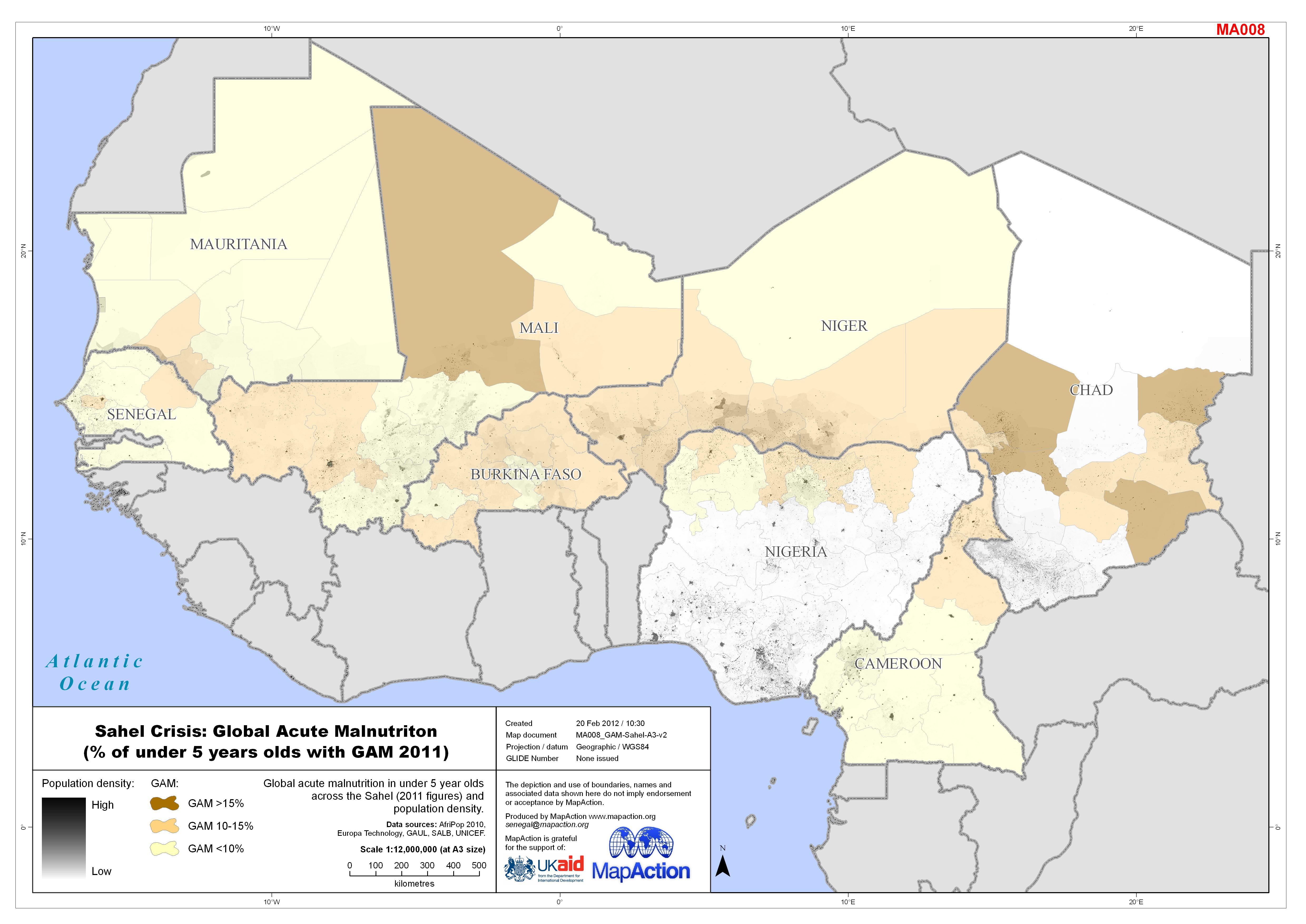
Sahel Crisis: Global Acute Malnutriton (% of under 5 years olds with GAM 2011)
Global acute malnutrition in under 5 year olds across the Sahel (2011 figures) and population density. -
Sahel Crisis: Oral Polio Vaccination Dose 3 (routine immunisation coverage 2010)
Routine immunisation of oral polio vaccination dose 3 (VP03) across the Sahel in 2010 and population density. -
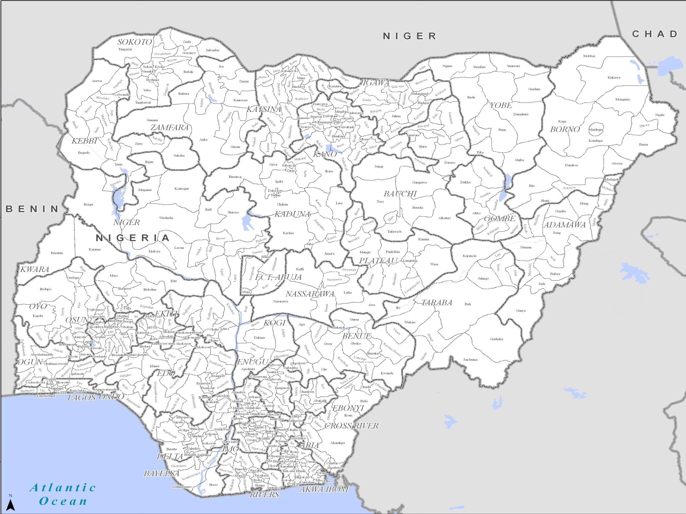
Sahel Crisis: PowerPoint Map Nigeria
PowerPoint maps illustrating level 1 and level 2 administrative boundaries and transport links - click link to download - Sahel Crisis: PowerPoint Map Nigeria -

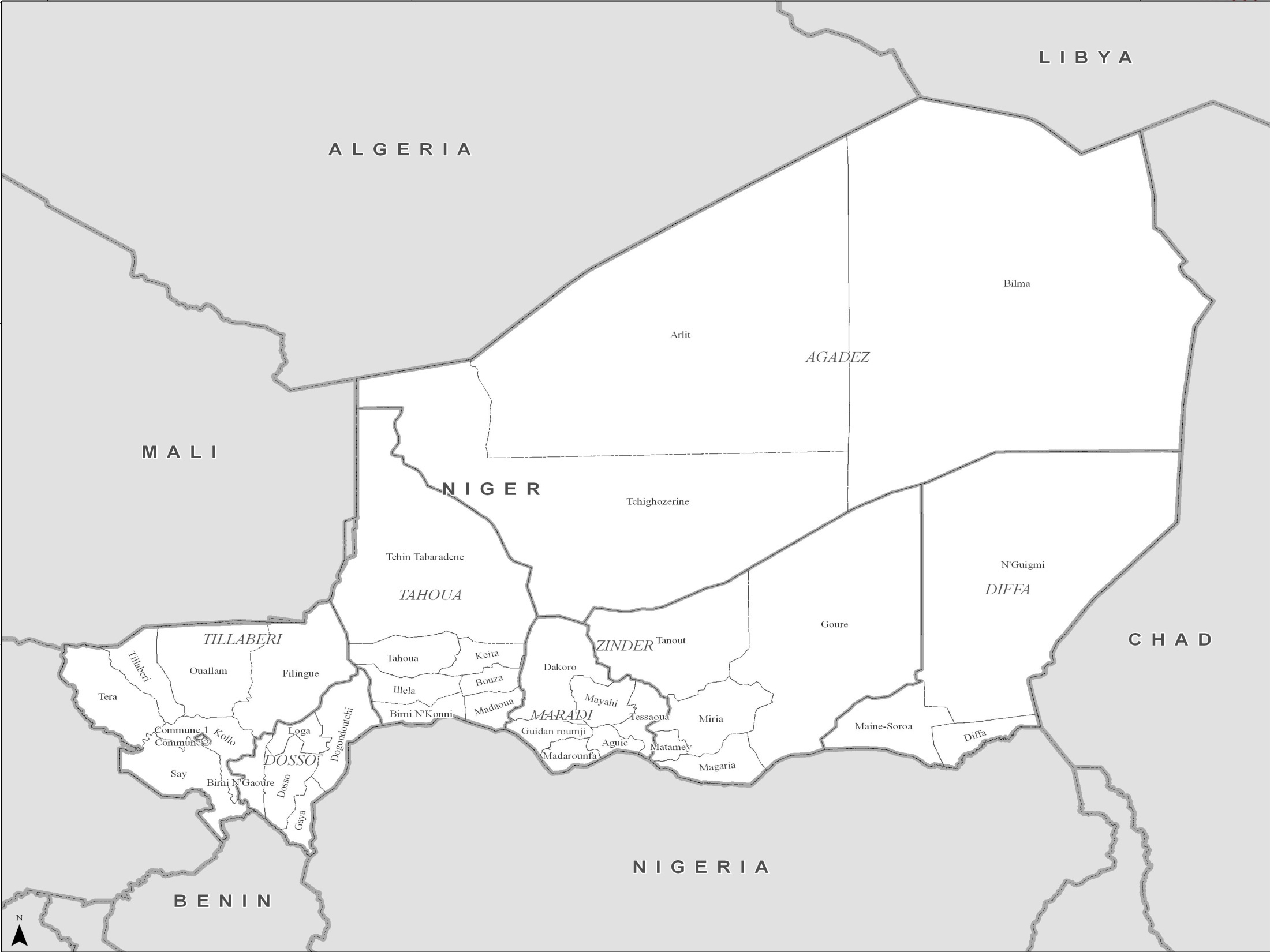
Sahel Crisis: PowerPoint Map Niger
PowerPoint maps illustrating level 1 and level 2 administrative boundaries and transport links - click link to download - Sahel Crisis: PowerPoint Map Niger -
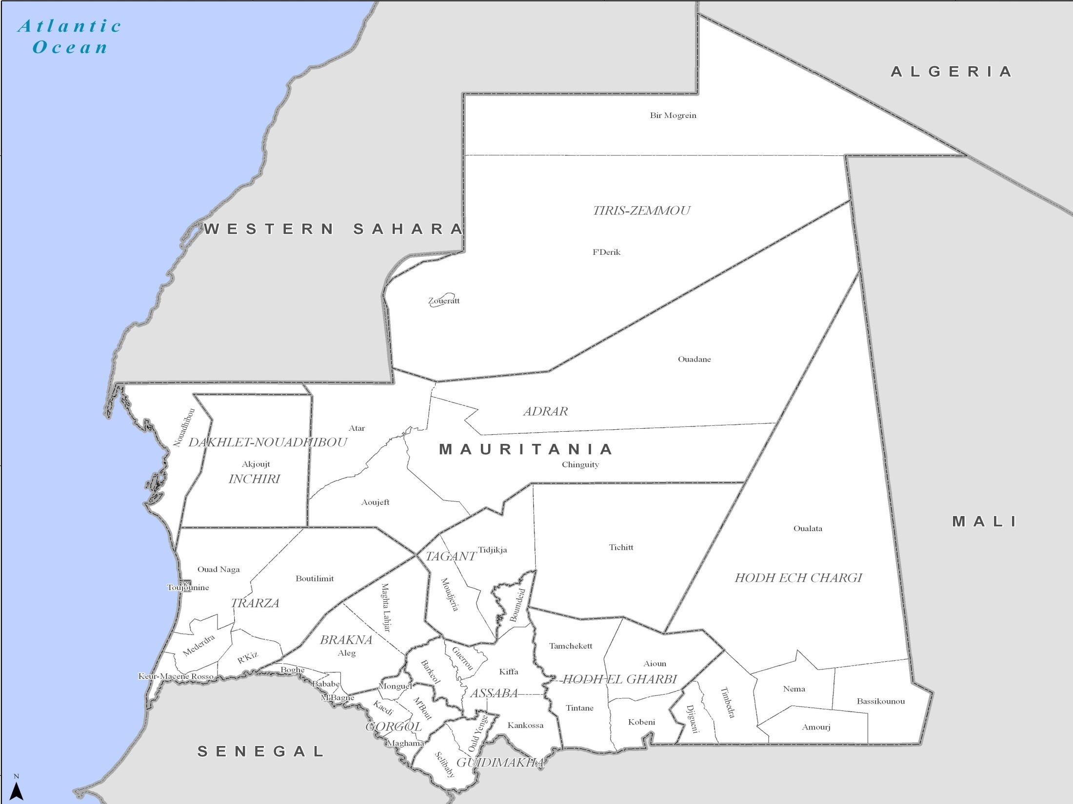
Sahel Crisis: PowerPoint Map Mauritania
PowerPoint maps illustrating level 1 and level 2 administrative boundaries and transport links - click link to download - Sahel Crisis: PowerPoint Map Mauritania