-

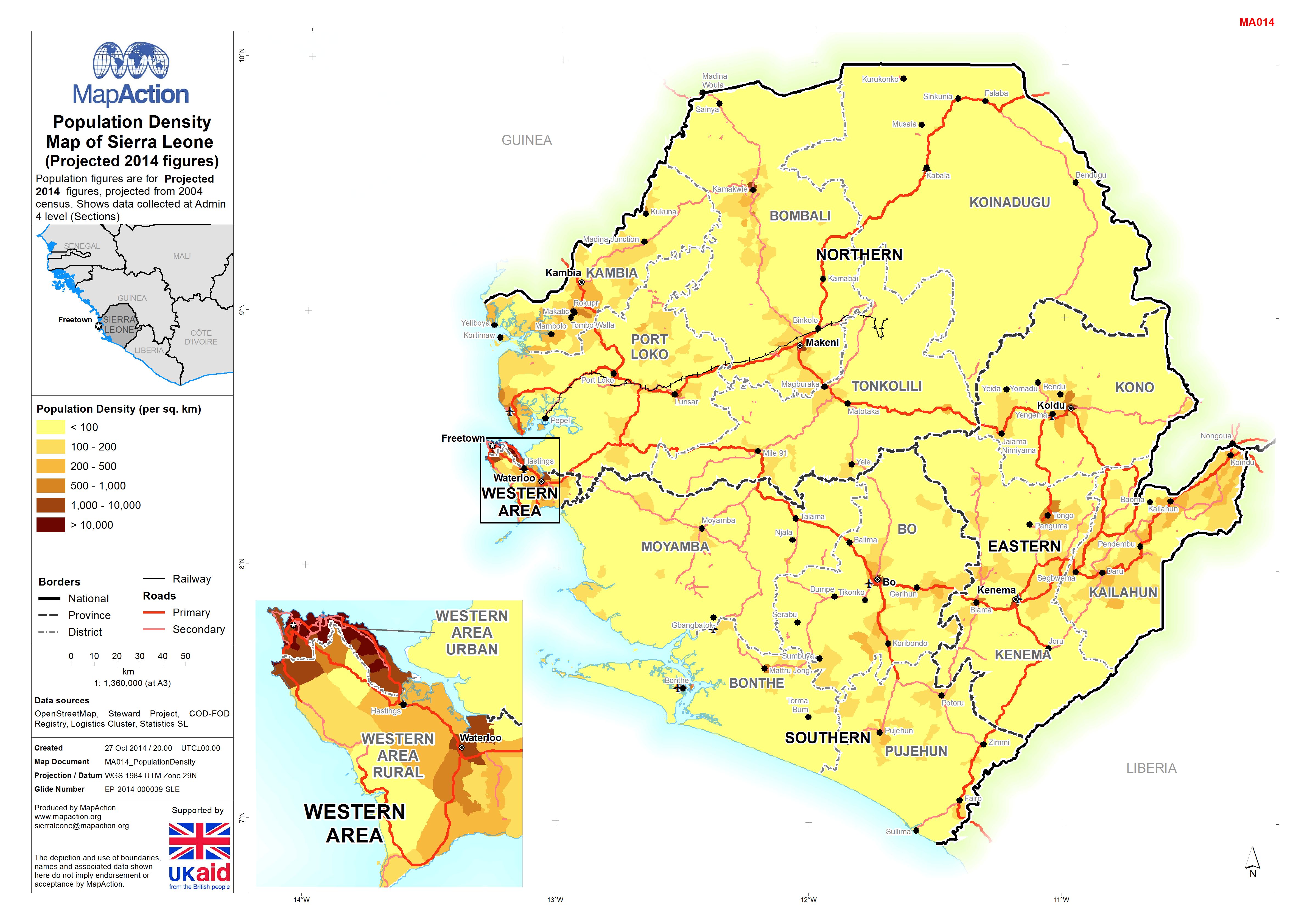
Population Density Map of Sierra Leone <FNT name =
Population figures are for Projected 2014 figures, projected from 2004 census. Shows data collected at Admin 4 level (Sections) -
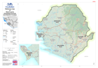
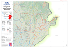
Reference map of Sierra Leone(including Province and District P-Codes)
Reference map of Sierra Leone (including Province and District P-Codes) -
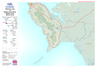
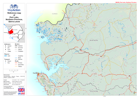
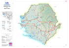
Reference map of Western Area Rural, Western Area, Sierra Leone
This dataset has no description
-

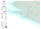
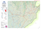
Reference map of Pujehun District, Southern Province, Sierra Leone
This dataset has no description
-

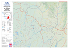
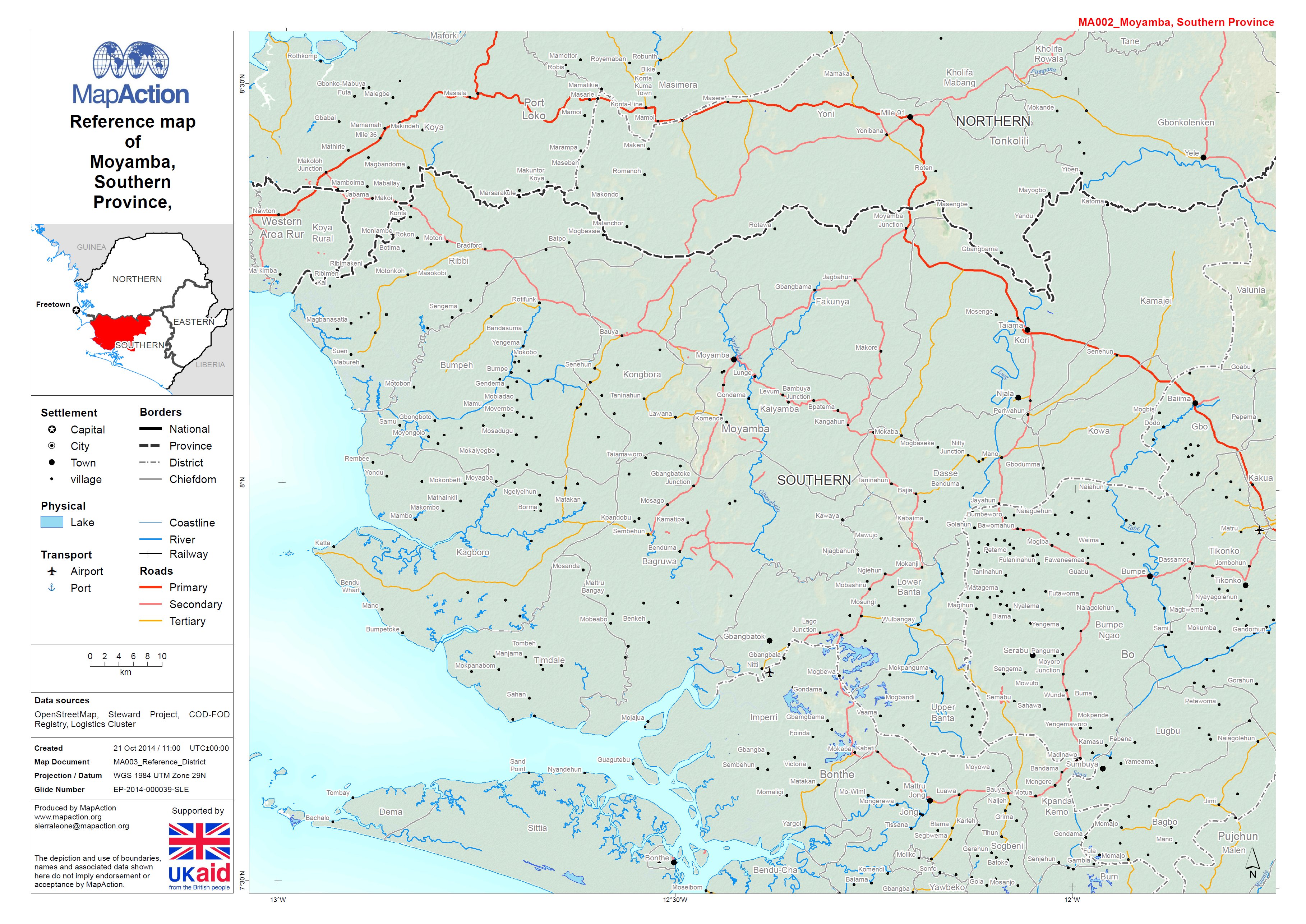
Reference map of Moyamba District, Southern Province, Sierra Leone
This dataset has no description
-
Reference map of Bonthe District, Southern Province, Sierra Leone
This dataset has no description
-
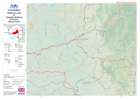
Reference map of Bo District, Southern Province, Sierra Leone
This dataset has no description
-
Reference map of Tonkolli District, Northern Province, Sierra Leone
This dataset has no description
-
Reference map of Port Loko District, Northern Province, Sierra Leone
This dataset has no description
-

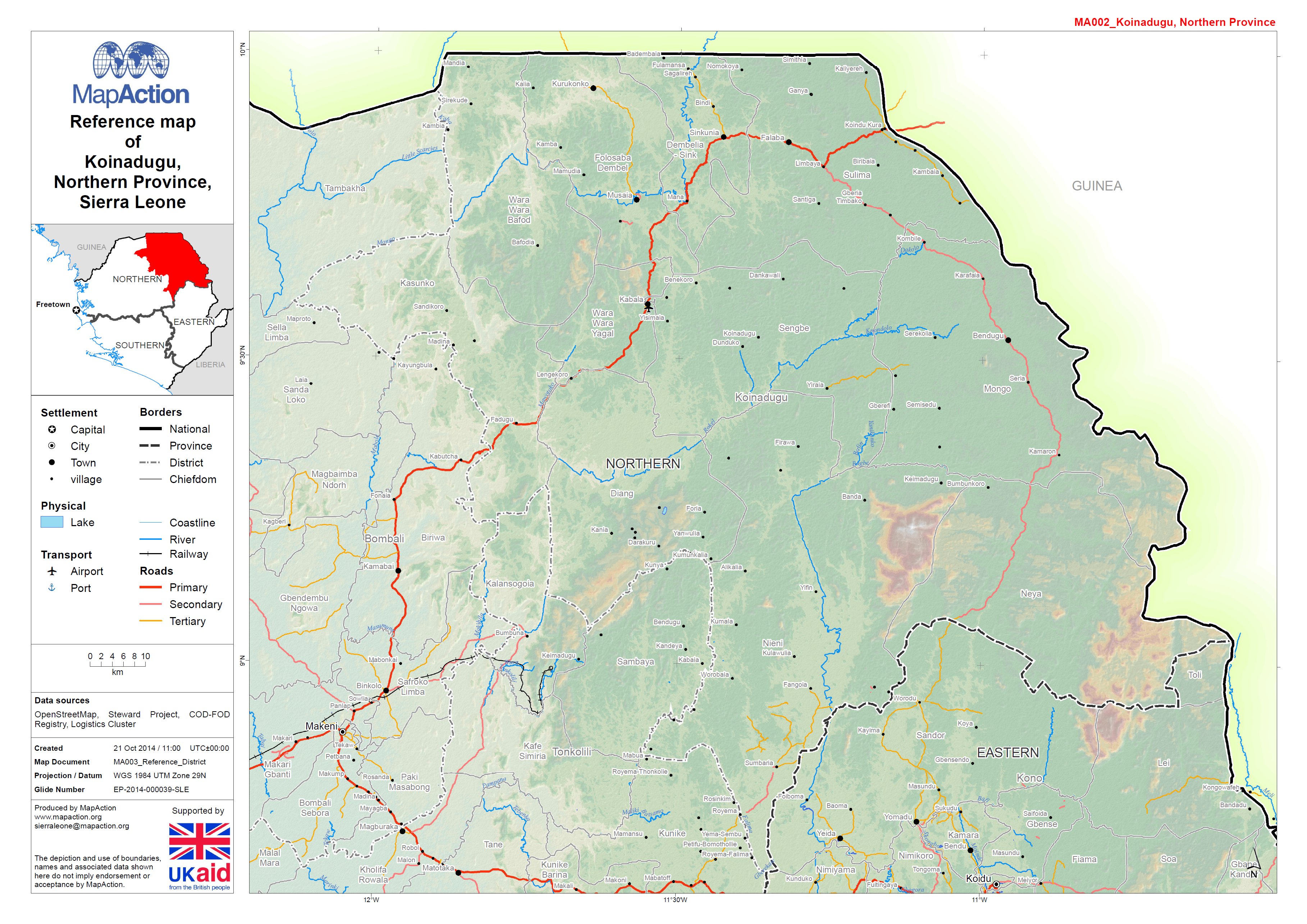
Reference map of Koinadugu District, Northern Province, Sierra Leone
This dataset has no description
-

Reference map of Kambia District, Northern Province, Sierra Leone
This dataset has no description
-

Reference map of Bombali District, Northern Province, Sierra Leone
This dataset has no description
-

Reference map of Kono District, Eastern Province, Sierra Leone
This dataset has no description
-
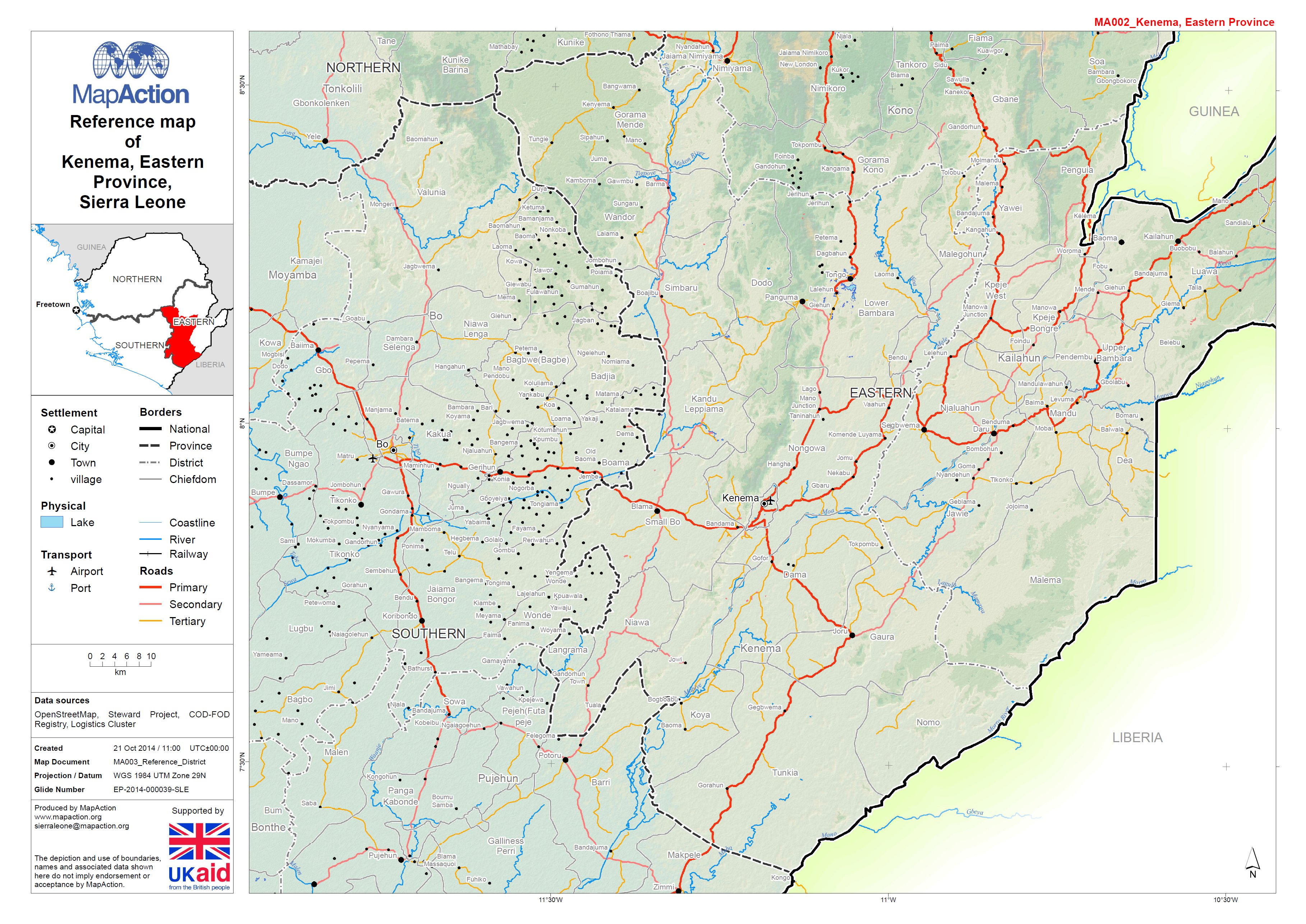
Reference map of Kenema District, Northern Province, Sierra Leone
This dataset has no description
-
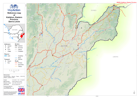
Reference map of Kailahun District, Eastern Province, Sierra Leone
This dataset has no description
-

-

-

-
-