Skip to content
Log in
Register
Latest maps and data
Floods:
Somalia
Menu
Home
About us
Impact
Strategy
Values
Where we work
History
Governance
Annual reports
Press
Services
Anticipatory Action/DRR
Health
Emergency response
Partners
Operational partners
Funders
Supporters
Team
Volunteer
Volunteer resources
News
Advocacy
Blog
LIVE Blogs
Anticipatory Action
Maps
All maps and data
Example product catalogue
Other resources
Get involved
Fundraise
Corporate partnerships
Payroll giving
Trusts and foundations
Leave a gift in your will
Donation FAQs
Join us
Contact us
Donate
Locations
Events
Search Datasets
You are here:
Home
Maps and Data
Home
Datasets
Submit
Order by
Relevance
Name Ascending
Name Descending
Last Modified
Go
3 datasets found
Themes:
Nutrition
Situation and Damage
Education
Formats:
PNG
Filter Results
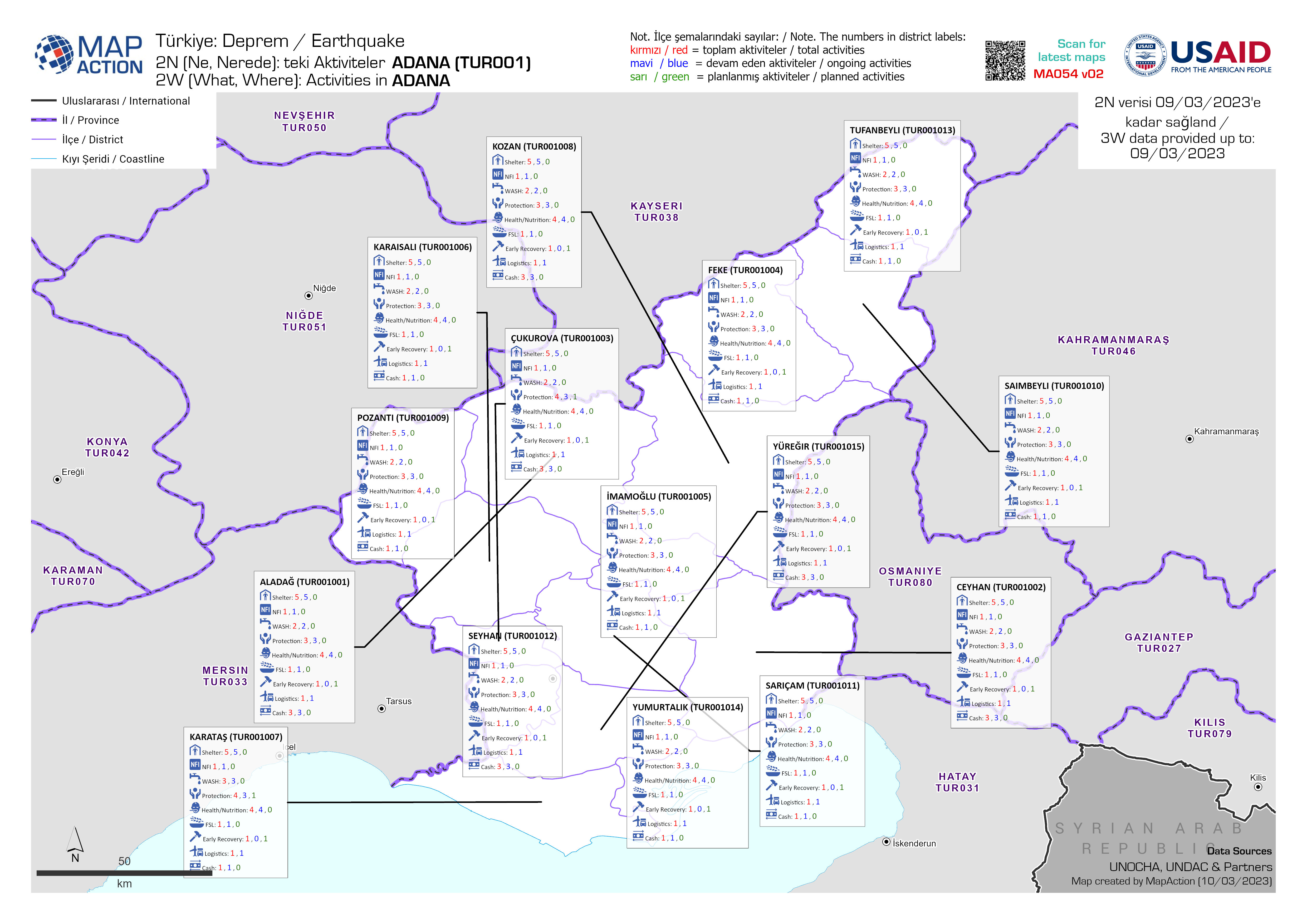
2N (Ne, Nerede): Her İlçede faaliyet gösteren kuruluşlar
2W (Who, Where): Organisations per district, produced as an atlas with one map per province
PDF
JPEG
PDF
PDF
PDF
PDF
PDF
PDF
PDF
PDF
PDF
PDF
PDF
2N (Ne, Nerede): teki Aktiviteler 2W (What, Where): Activities in
3W (Who, What, Where): Activities per district, produced as an atlas with one map per province
JPEG
PDF
PDF
PDF
PDF
PDF
PDF
PDF
PDF
PDF
PDF
PDF
PDF
PDF
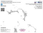
Who What Where activities / presence in affected area - Multi-cluster: As of ...
Who, What, Where for Coordination - Multi-Cluster
JPEG
PDF
You can also access this registry using the
API
(see
API Docs
).

